The Park
Wood, Forest in Wiltshire
England
The Park
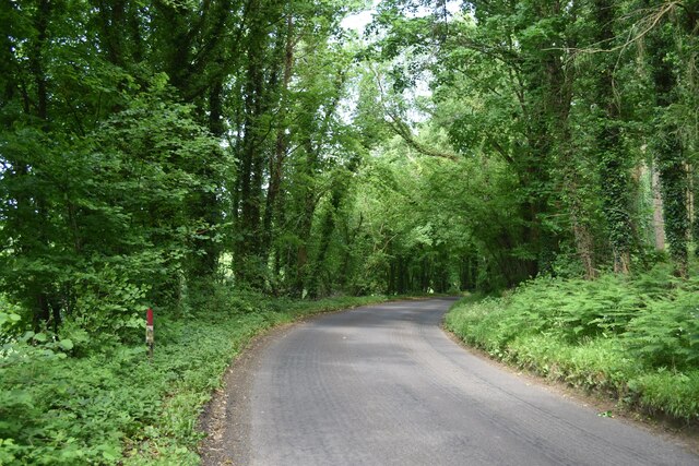
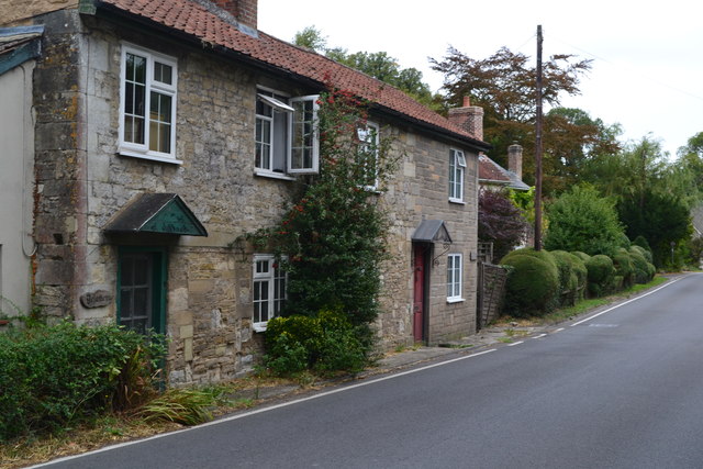
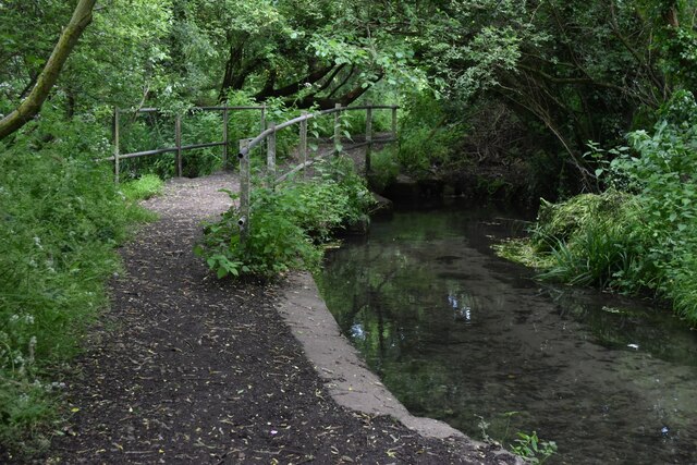
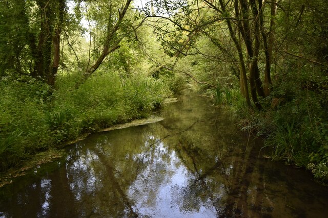
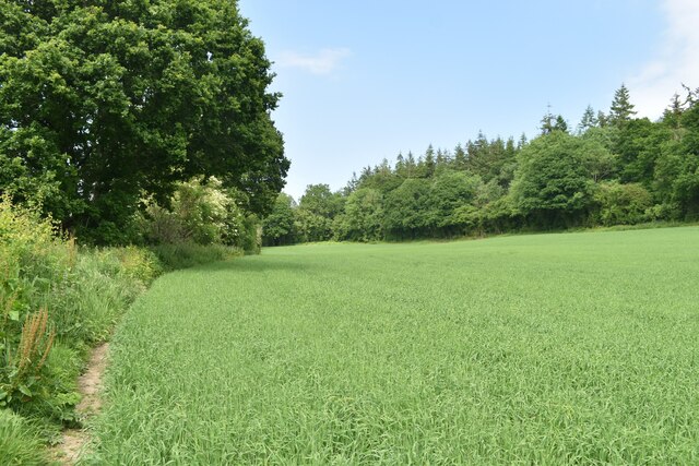
The Park, located in Wiltshire, England, is a picturesque woodland area renowned for its natural beauty and rich biodiversity. Spanning over acres of land, it is a haven for nature enthusiasts and a popular tourist attraction. The Park is characterized by its dense, lush forests, which are dominated by a variety of tree species, including oak, beech, and pine.
Its diverse ecosystem supports a wide range of wildlife, with numerous species of birds, mammals, and insects calling it home. Visitors can often spot deer, foxes, rabbits, and squirrels, making it an ideal spot for wildlife observation and photography. The Park is also home to a plethora of bird species, including woodpeckers, thrushes, and owls, attracting birdwatchers from far and wide.
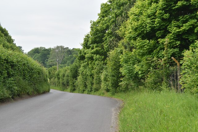
The woodland itself is crisscrossed with well-maintained walking trails, allowing visitors to explore the area at their own pace. These trails offer a chance to immerse oneself in the tranquility of nature, with towering trees providing shade and a sense of serenity. The Park is particularly popular among hikers, joggers, and dog walkers, who appreciate the peacefulness and natural beauty it offers.
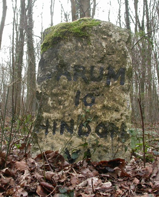
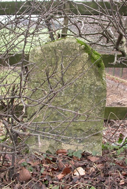
In addition to its natural allure, The Park also boasts several amenities for visitors. It has designated picnic areas and benches, where families and friends can enjoy a leisurely lunch surrounded by nature. Furthermore, the woodland has informative signage throughout, providing educational insights into the local flora and fauna, making it an ideal destination for educational trips and nature study.
Overall, The Park in Wiltshire is a stunning woodland area that offers a peaceful retreat from the hustle and bustle of everyday life. Its breathtaking beauty, diverse wildlife, and well-maintained trails make it a must-visit destination for nature lovers and outdoor enthusiasts.
If you have any feedback on the listing, please let us know in the comments section below.
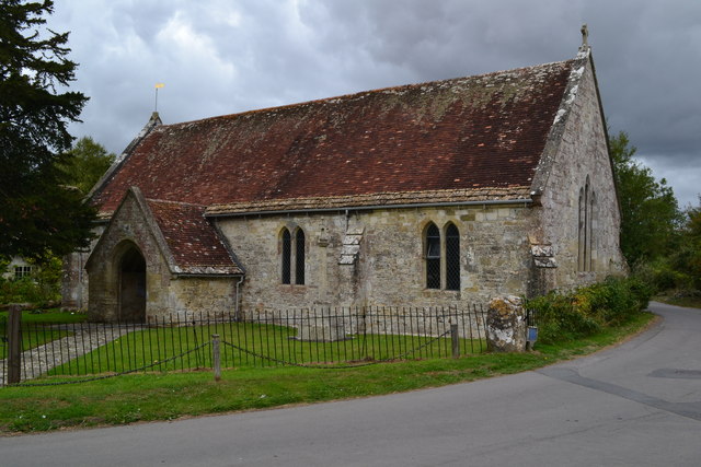
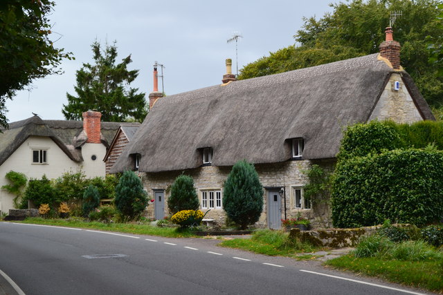
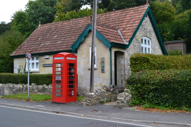
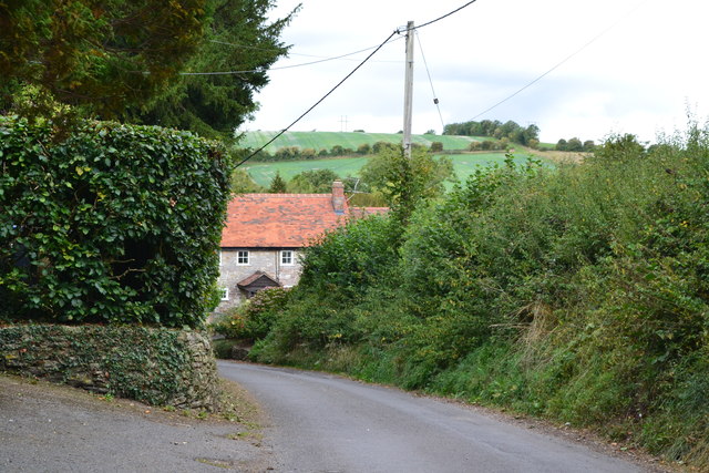
The Park Images
Images are sourced within 2km of 51.081191/-2.0078011 or Grid Reference ST9931. Thanks to Geograph Open Source API. All images are credited.

The Park is located at Grid Ref: ST9931 (Lat: 51.081191, Lng: -2.0078011)
Unitary Authority: Wiltshire
Police Authority: Wiltshire
What 3 Words
///ground.passing.saved. Near Dinton, Wiltshire
Nearby Locations
Related Wikis

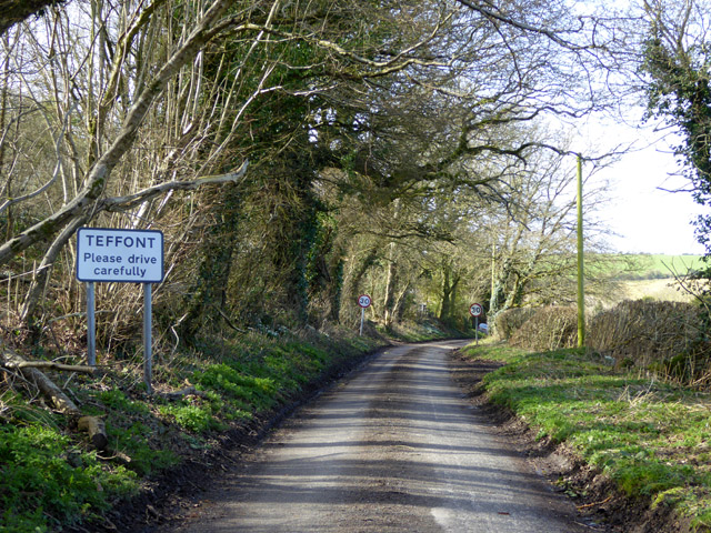
Teffont Evias
Teffont Evias is a small village and former civil parish, now in the parish of Teffont, on the Nadder valley in the south of Wiltshire, England. Edric...

Teffont
Teffont is a civil parish in the south of Wiltshire, England, consisting of the villages of Teffont Magna and Teffont Evias. It is in the Nadder valley...

Dinton Quarry
Dinton Quarry (grid reference SU006308) is a 3,000 square metre geological Site of Special Scientific Interest in Wiltshire, notified in 1990. This long...

Teffont Magna
Teffont Magna, sometimes called Upper Teffont, is a small village and former civil parish, now in the parish of Teffont, in the Nadder valley in the south...
Dinton Railway Cutting
Dinton Railway Cutting (grid reference SU008309) is a 2,600 square metre geological Site of Special Scientific Interest in Wiltshire, notified in 1990...

Dinton railway station
Dinton railway station is a disused railway station which formerly served Dinton in Wiltshire, England. It was situated on the West of England Main Line...

Philipps House
Philipps House (until 1916 Dinton House) is an early 19th-century Neo-Grecian country house at Dinton, overlooking the Nadder valley about 8 miles (13...

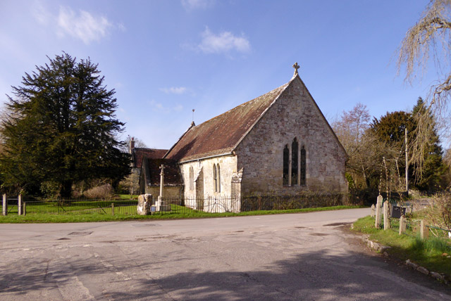
Dinton, Wiltshire
Dinton is a village, civil parish and former manor in Wiltshire, England, in the Nadder valley on the B3089 road about 8 miles (13 km) west of Salisbury...
Nearby Amenities
Located within 500m of 51.081191,-2.0078011Have you been to The Park?
Leave your review of The Park below (or comments, questions and feedback).