The Common
Downs, Moorland in Wiltshire
England
The Common
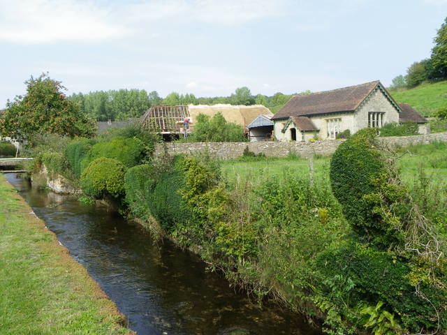
The Common, located in Wiltshire, England, is a vast expanse of land characterized by its diverse landscapes of downs and moorland. Covering an area of approximately several square miles, it is a popular destination for nature enthusiasts, hikers, and birdwatchers.
The downs of The Common are gently rolling hills covered in rich grasslands and scattered with patches of vibrant wildflowers. These areas provide a haven for a wide range of plant and animal species, including rare orchids, butterflies, and skylarks. The downs also offer breathtaking panoramic views of the surrounding countryside, making it a favorite spot for photographers and artists.
In contrast, the moorland sections of The Common consist of heathlands and peat bogs, creating a distinct and unique landscape. These areas are home to an array of heather, gorse, and moss species, as well as various bird species such as curlews and stonechats. The moorland provides a serene and tranquil atmosphere, attracting visitors seeking solitude and a connection with nature.
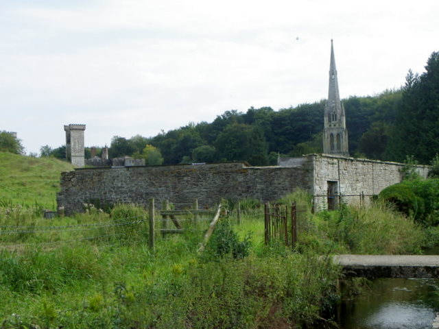
The Common's diverse habitats make it an important conservation area, designated as a Site of Special Scientific Interest (SSSI). Efforts are made to protect and preserve the unique flora and fauna found within its boundaries. The conservation of The Common is aided by local organizations and volunteers who actively participate in habitat restoration and wildlife monitoring.
Visitors to The Common can enjoy a network of well-maintained walking trails, allowing them to explore and appreciate the natural beauty of the area. Interpretive boards and guided tours are available to provide information about the unique ecosystems and wildlife present. With its stunning landscapes and rich biodiversity, The Common in Wiltshire offers a captivating and educational experience for all who visit.
If you have any feedback on the listing, please let us know in the comments section below.
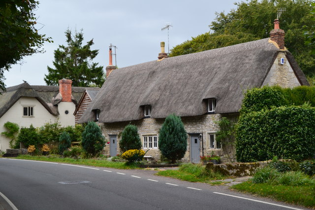
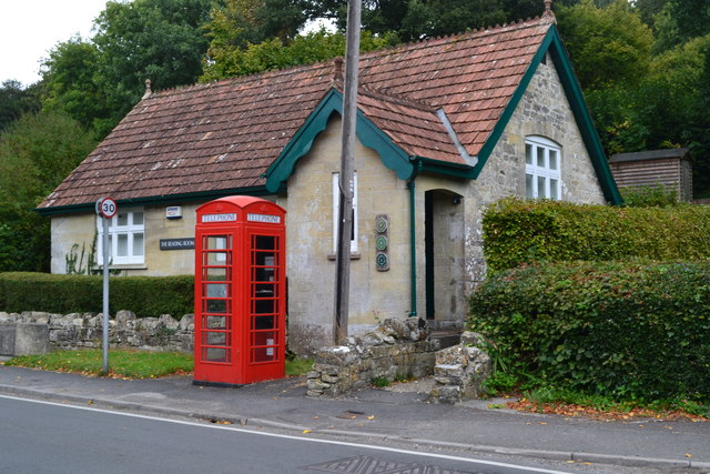
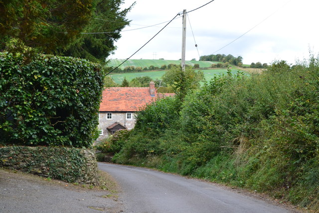
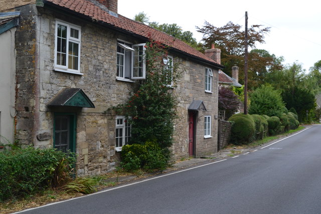
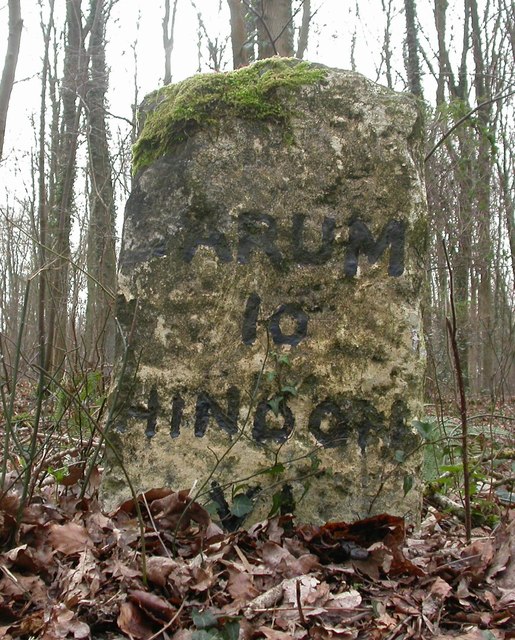
The Common Images
Images are sourced within 2km of 51.08584/-2.0049465 or Grid Reference ST9931. Thanks to Geograph Open Source API. All images are credited.


The Common is located at Grid Ref: ST9931 (Lat: 51.08584, Lng: -2.0049465)
Unitary Authority: Wiltshire
Police Authority: Wiltshire
What 3 Words
///prospers.commended.drifter. Near Dinton, Wiltshire
Nearby Locations
Related Wikis

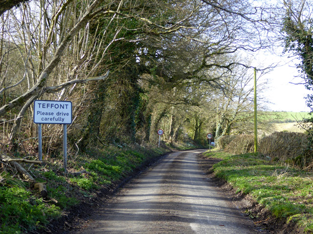
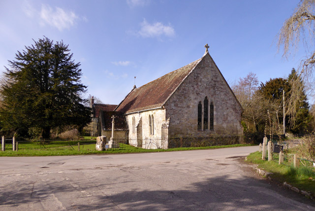
Teffont
Teffont is a civil parish in the south of Wiltshire, England, consisting of the villages of Teffont Magna and Teffont Evias. It is in the Nadder valley...

Teffont Evias
Teffont Evias is a small village and former civil parish, now in the parish of Teffont, on the Nadder valley in the south of Wiltshire, England. Edric...

Teffont Magna
Teffont Magna, sometimes called Upper Teffont, is a small village and former civil parish, now in the parish of Teffont, in the Nadder valley in the south...

Dinton Quarry
Dinton Quarry (grid reference SU006308) is a 3,000 square metre geological Site of Special Scientific Interest in Wiltshire, notified in 1990. This long...
Dinton Railway Cutting
Dinton Railway Cutting (grid reference SU008309) is a 2,600 square metre geological Site of Special Scientific Interest in Wiltshire, notified in 1990...

Philipps House
Philipps House (until 1916 Dinton House) is an early 19th-century Neo-Grecian country house at Dinton, overlooking the Nadder valley about 8 miles (13...

Dinton railway station
Dinton railway station is a disused railway station which formerly served Dinton in Wiltshire, England. It was situated on the West of England Main Line...

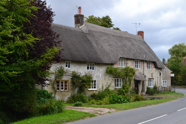
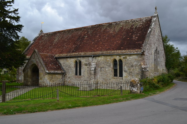
Dinton, Wiltshire
Dinton is a village, civil parish and former manor in Wiltshire, England, in the Nadder valley on the B3089 road about 8 miles (13 km) west of Salisbury...
Nearby Amenities
Located within 500m of 51.08584,-2.0049465Have you been to The Common?
Leave your review of The Common below (or comments, questions and feedback).