Teffont Manor

Heritage Site in Wiltshire

England

Teffont Manor

Bend in Catherine Ford Lane
Bend in Catherine Ford Lane Credit: David Martin

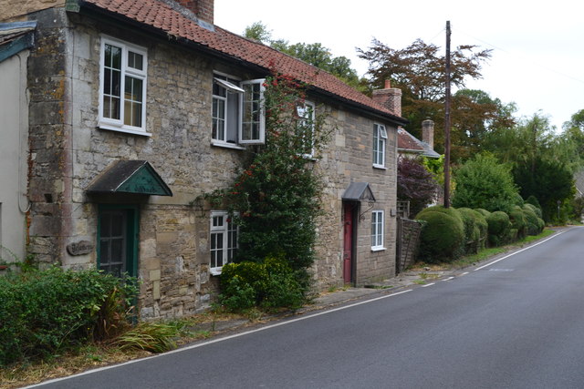
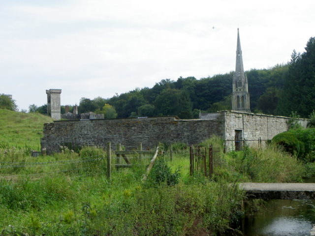
Teffont Manor, located in the picturesque village of Teffont Evias in Wiltshire, England, is a charming heritage site that holds significant historical and architectural value. This Grade II listed manor house, originally built in the early 17th century, boasts a stunning Elizabethan-style design and is surrounded by beautifully landscaped gardens.

The manor house itself is a two-story building constructed with local stone, featuring a symmetrical façade with mullioned windows and a grand entrance porch. The interior of Teffont Manor showcases a range of period features, including exposed wooden beams, stone fireplaces, and ornate plasterwork, providing a glimpse into the architectural style of the time.

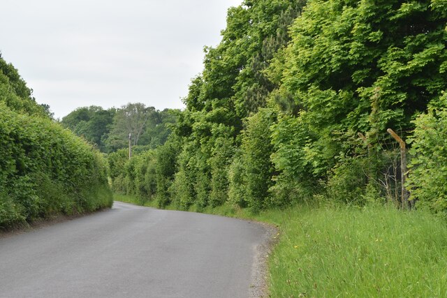
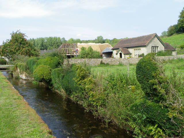
The grounds surrounding the manor are equally captivating, with a manicured lawn, a walled garden, and a charming courtyard. The gardens are meticulously maintained and include a variety of flowers, shrubs, and trees, creating a tranquil and enchanting atmosphere. Additionally, the manor's location in the idyllic Wiltshire countryside offers breathtaking views of the surrounding rolling hills and nearby River Nadder.

Teffont Manor has a rich history, having been owned by notable families throughout the centuries. It has also been a filming location for various period dramas and movies, further adding to its allure. Today, the manor continues to be privately owned and is not open to the public. However, its exterior and gardens can be admired from the village road, providing visitors with a glimpse into its historical significance and timeless beauty.

If you have any feedback on the listing, please let us know in the comments section below.

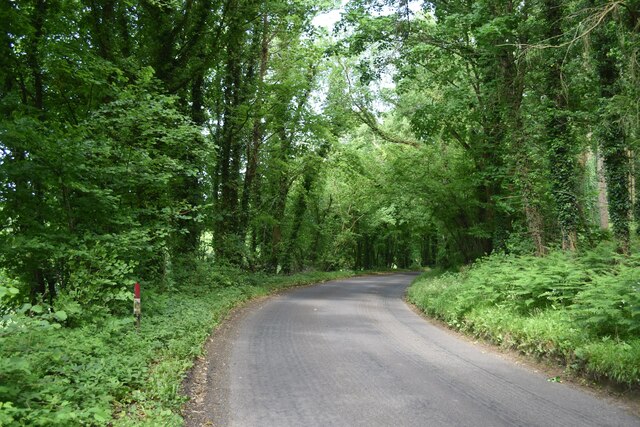
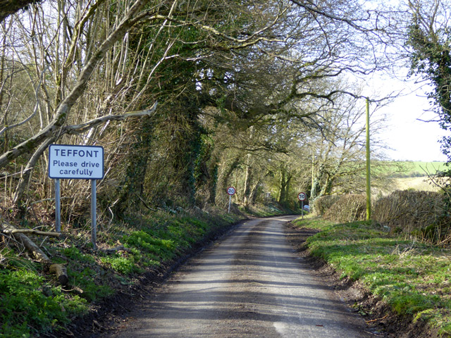
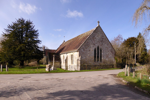
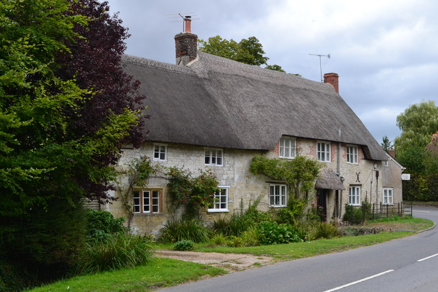
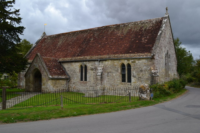
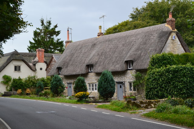
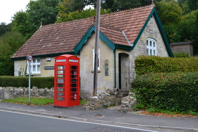
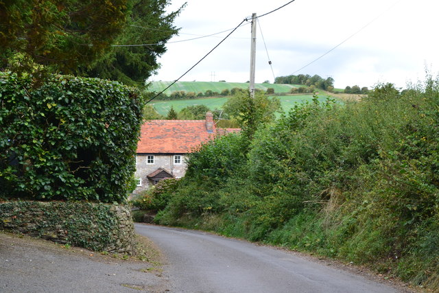
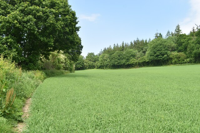
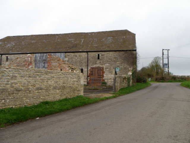
Teffont Manor Images

Images are sourced within 2km of 51.082/-2.007 or Grid Reference ST9931. Thanks to Geograph Open Source API. All images are credited.

Bend in Catherine Ford Lane
Approaching Teffont Magna from the east Just Teffont to the sign people.
Approaching Teffont Magna from the east
Just Teffont to the sign people.
Teffont Magna church St. Edward's is a grade II*(star) listed building, 13th and 14th century.
Teffont Magna church
St. Edward's is a grade II*(star) listed building, 13th and 14th century.
Thatched cottages at Teffont Magna
Church of St Edward, Teffont Magna
Thatched cottages at Teffont Magna
Teffont Magna reading room And a telephone box that still contains a telephone!
Teffont Magna reading room
And a telephone box that still contains a telephone!
Teffont Magna village hall
Descending a hill into Teffont Magna
Roadside houses at Teffont Magna
Old Milestone by the B3089, Hindon Road, east of Teffont Evias Carved stone post by the B3089, in parish of TEFFONT (SALISBURY District), Hindon Rd; 350m W Teffont Lodge, by wood, on South side of road. Hindon stone, erected by the Fisherton, Wilton, Heytesbury, Willoughby Hedge & Redhone turnpike trust in the 19th century. 

Inscription reads:-
(S)ARUM
10
HINDON
VI 

Grade II listed. List Entry Number: 1318715
<span class="nowrap"><a title="https://historicengland.org.uk/listing/the-list/list-entry/1318715" rel="nofollow ugc noopener" href="https://historicengland.org.uk/listing/the-list/list-entry/1318715">Link</a><img style="margin-left:2px;" alt="External link" title="External link - shift click to open in new window" src="https://s1.geograph.org.uk/img/external.png" width="10" height="10"/></span>

Milestone Society National ID: WI_SAMR10.
Old Milestone by the B3089, Hindon Road, east of Teffont Evias
Carved stone post by the B3089, in parish of TEFFONT (SALISBURY District), Hindon Rd; 350m W Teffont Lodge, by wood, on South side of road. Hindon stone, erected by the Fisherton, Wilton, Heytesbury, Willoughby Hedge & Redhone turnpike trust in the 19th century. Inscription reads:- (S)ARUM 10 HINDON VI Grade II listed. List Entry Number: 1318715 LinkExternal link Milestone Society National ID: WI_SAMR10.
Old Milestone by the B3089, Hindon Road, Teffont parish Carved stone post by the B3089, in parish of TEFFONT (SALISBURY District), Hindon Road; 50m East Clarendon Stud, in hedgerow, on South side of road. Hindon stone, erected by the Fisherton, Wilton, Heytesbury, Willoughby Hedge & Redhone turnpike trust in the 19th century. 

Inscription reads:-
SARUM
XI
HINDON
V

Grade II listed.  
List Entry Number: 1146299 <span class="nowrap"><a title="https://historicengland.org.uk/listing/the-list/list-entry/1146299" rel="nofollow ugc noopener" href="https://historicengland.org.uk/listing/the-list/list-entry/1146299">Link</a><img style="margin-left:2px;" alt="External link" title="External link - shift click to open in new window" src="https://s1.geograph.org.uk/img/external.png" width="10" height="10"/></span>

Milestone Society National ID: WI_SAMR11.
Old Milestone by the B3089, Hindon Road, Teffont parish
Carved stone post by the B3089, in parish of TEFFONT (SALISBURY District), Hindon Road; 50m East Clarendon Stud, in hedgerow, on South side of road. Hindon stone, erected by the Fisherton, Wilton, Heytesbury, Willoughby Hedge & Redhone turnpike trust in the 19th century. Inscription reads:- SARUM XI HINDON V Grade II listed. List Entry Number: 1146299 LinkExternal link Milestone Society National ID: WI_SAMR11.
Lush roadside vegetation at Ham Cross
Field below Catherine Ford Lane
Minor road near Teffont Evias The minor road passes the farm buildings of Ley Farm.  There is an Ordnance Survey bench mark on the angle of the barn.
Minor road near Teffont Evias
The minor road passes the farm buildings of Ley Farm. There is an Ordnance Survey bench mark on the angle of the barn.
Bench Mark, Ley Farm The bench mark is to be found on the south east angle of the building.  For a view of the building <a href="https://www.geograph.org.uk/photo/2334338">ST9830 : Minor road near Teffont Evias</a> and for further information on the bench mark and others in the area <span class="nowrap"><a title="http://www.bench-marks.org.uk/bm37438" rel="nofollow ugc noopener" href="http://www.bench-marks.org.uk/bm37438">Link</a><img style="margin-left:2px;" alt="External link" title="External link - shift click to open in new window" src="https://s1.geograph.org.uk/img/external.png" width="10" height="10"/></span>
Bench Mark, Ley Farm
The bench mark is to be found on the south east angle of the building. For a view of the building ST9830 : Minor road near Teffont Evias and for further information on the bench mark and others in the area LinkExternal link
River Teff, Teffont Evias Looking upstream towards Manor School Bungalow (the old village school) and the 17th century barn at Home Farm which is undergoing restoration.
River Teff, Teffont Evias
Looking upstream towards Manor School Bungalow (the old village school) and the 17th century barn at Home Farm which is undergoing restoration.
Teffont Evias, Church and Manor The Church of St Michael and All Angels with Teffont Evias Manor in the background. The Manor was the birthplace of Henry, Earl of Marlborough who became Chancellor of England in the reign of James II.
Teffont Evias, Church and Manor
The Church of St Michael and All Angels with Teffont Evias Manor in the background. The Manor was the birthplace of Henry, Earl of Marlborough who became Chancellor of England in the reign of James II.
Show me another place!

Teffont Manor is located at Grid Ref: ST9931 (Lat: 51.082, Lng: -2.007)

Unitary Authority: Wiltshire

Police Authority: Wiltshire

What 3 Words

///woodstove.handbag.spin. Near Dinton, Wiltshire

Related Wikis

Teffont Evias

Teffont Evias is a small village and former civil parish, now in the parish of Teffont, on the Nadder valley in the south of Wiltshire, England. Edric...

Teffont

Teffont is a civil parish in the south of Wiltshire, England, consisting of the villages of Teffont Magna and Teffont Evias. It is in the Nadder valley...

Teffont Magna

Teffont Magna, sometimes called Upper Teffont, is a small village and former civil parish, now in the parish of Teffont, in the Nadder valley in the south...

Dinton Quarry

Dinton Quarry (grid reference SU006308) is a 3,000 square metre geological Site of Special Scientific Interest in Wiltshire, notified in 1990. This long...

Nearby Amenities

Located within 500m of 51.082,-2.007
Teffont Evias
Place: village
Wikidata: Q7694623
Lat/Long: 51.0813932/-2.0139538
Historic: milestone
Lat/Long: 51.0825533/-2.0079924
Power: pole
Lat/Long: 51.0791098/-2.0047635
Power: pole
Lat/Long: 51.0792513/-2.0016977
Power: pole
Lat/Long: 51.078766/-2.0025158
Power: pole
Lat/Long: 51.0782739/-2.0034465
Power: pole
Lat/Long: 51.0782655/-2.0033044
Power: pole
Lat/Long: 51.0787323/-2.0024139
Power: pole
Lat/Long: 51.0792041/-2.001695
The data included in this document is from www.openstreetmap.org. The data is made available under ODbL.

Have you been to Teffont Manor?

Leave your review of Teffont Manor below (or comments, questions and feedback).