Nelson Plantation
Wood, Forest in Dorset
England
Nelson Plantation
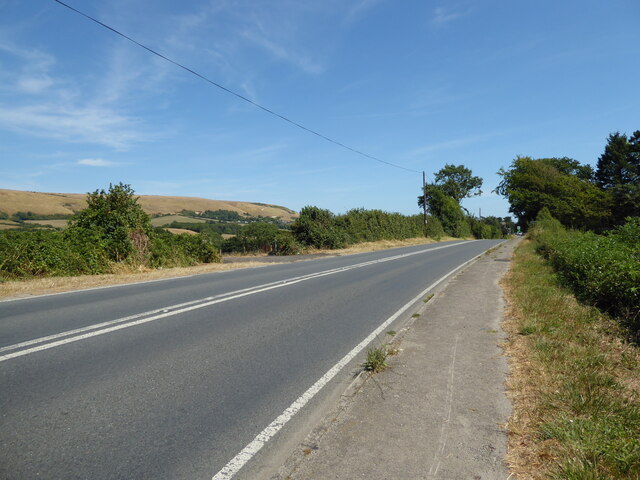
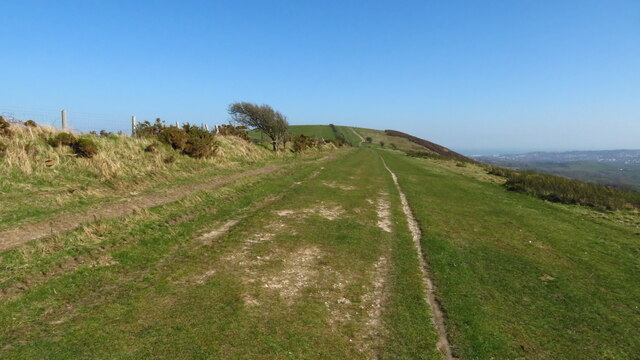
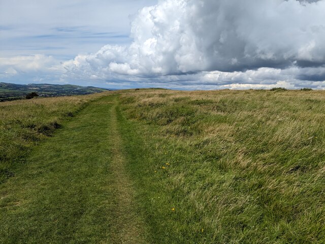
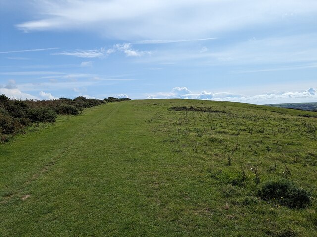
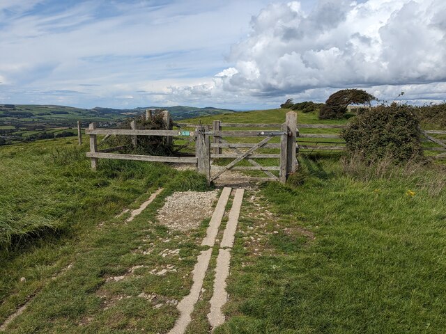
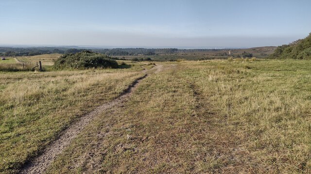
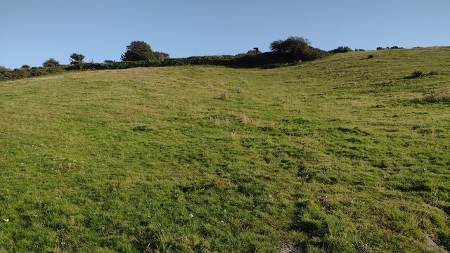
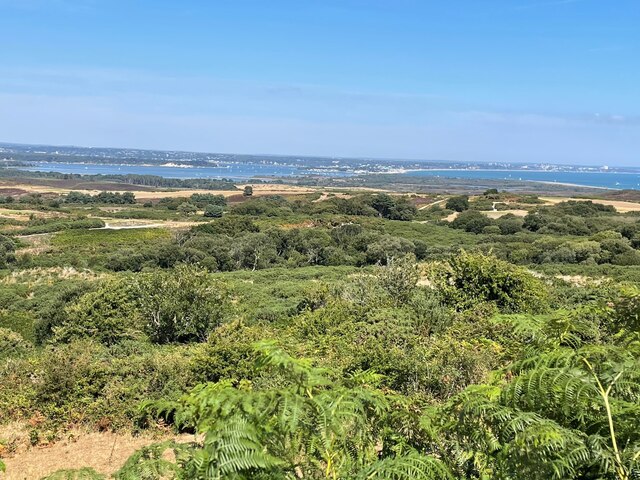
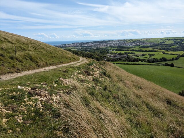
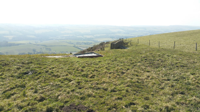
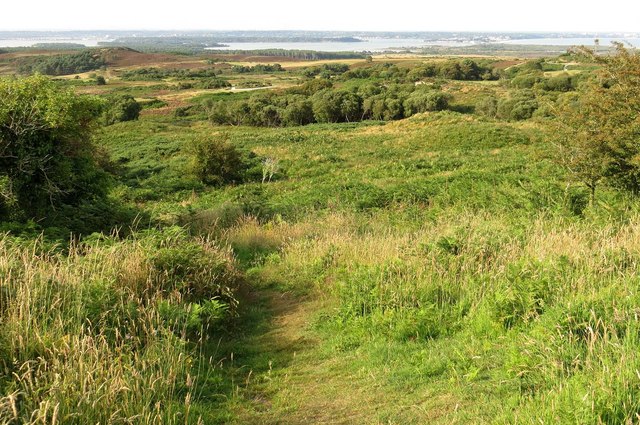
Nelson Plantation is a historic woodland located in the county of Dorset, England. Nestled within the picturesque landscape of the Dorset Downs, the plantation spans approximately 100 acres of lush greenery and ancient trees.
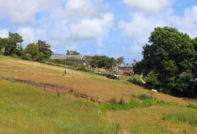
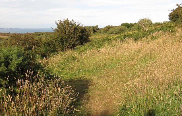
The plantation is renowned for its diverse range of flora and fauna. Its woodland is predominantly composed of oak, beech, and ash trees, creating a rich and vibrant habitat for various wildlife species. The plantation is home to a wide array of bird species, including woodpeckers, owls, and various songbirds, making it a popular destination for birdwatching enthusiasts.
In addition to its natural beauty, Nelson Plantation holds historical significance. The plantation is named after Admiral Horatio Nelson, a British naval hero who played a pivotal role in the Battle of Trafalgar. It is said that Nelson himself visited the plantation during his lifetime, adding to its allure and charm.
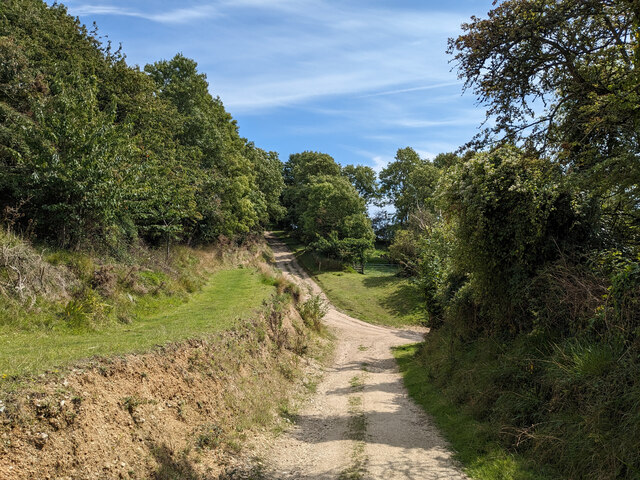
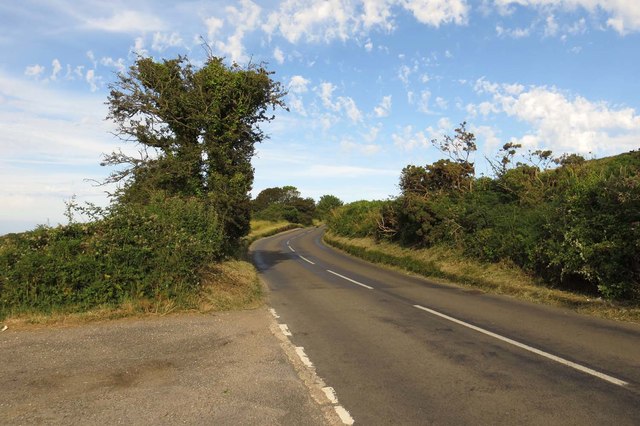
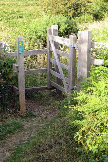
Visitors to Nelson Plantation can enjoy a range of recreational activities. There are well-maintained walking trails that wind through the woodland, allowing visitors to immerse themselves in the tranquility of nature. The plantation also offers designated picnic areas, perfect for families and groups to relax and enjoy a meal amidst the scenic surroundings.
Overall, Nelson Plantation in Dorset offers a unique blend of natural beauty, historical significance, and recreational opportunities. Whether one seeks solace in nature, a glimpse into history, or simply a peaceful outing, Nelson Plantation provides an enriching experience for all who visit.
If you have any feedback on the listing, please let us know in the comments section below.
Nelson Plantation Images
Images are sourced within 2km of 50.638834/-2.0077959 or Grid Reference SY9982. Thanks to Geograph Open Source API. All images are credited.

Nelson Plantation is located at Grid Ref: SY9982 (Lat: 50.638834, Lng: -2.0077959)
Unitary Authority: Dorset
Police Authority: Dorset
What 3 Words
///harder.purified.tailing. Near Corfe Castle, Dorset
Nearby Locations
Related Wikis

Rempstone Stone Circle
Rempstone Stone Circle (grid reference SY994820) is a stone circle located near to Corfe Castle on the Isle of Purbeck in the south-western English county...

Brenscombe Heath
Brenscombe Heath (grid reference SY985829) is a 34.7 hectare biological Site of Special Scientific Interest in Corfe Castle, Dorset, notified in 1985....

Nine Barrow Down
Nine Barrow Down is an elongated hill forming the northern ridge of the Purbeck Hills on the Isle of Purbeck in Dorset, England. The chalk down is part...

Rowbarrow Hundred
Rowbarrow Hundred or Rowberrow Hundred was a hundred in the county of Dorset, England, containing the following parishes: Langton Matravers Studland Swanage...

Harman's Cross
Harman's Cross is a small village on the Isle of Purbeck in Dorset, England. It is situated on the A351 road between Swanage and Corfe Castle. The village...

Woolgarston
Woolgarston is a village in Dorset, England. == External links == Media related to Woolgarston at Wikimedia Commons

Harman's Cross railway station
Harman's Cross railway station is a railway station located in the village of Harman's Cross, on the Isle of Purbeck in the English county of Dorset. It...
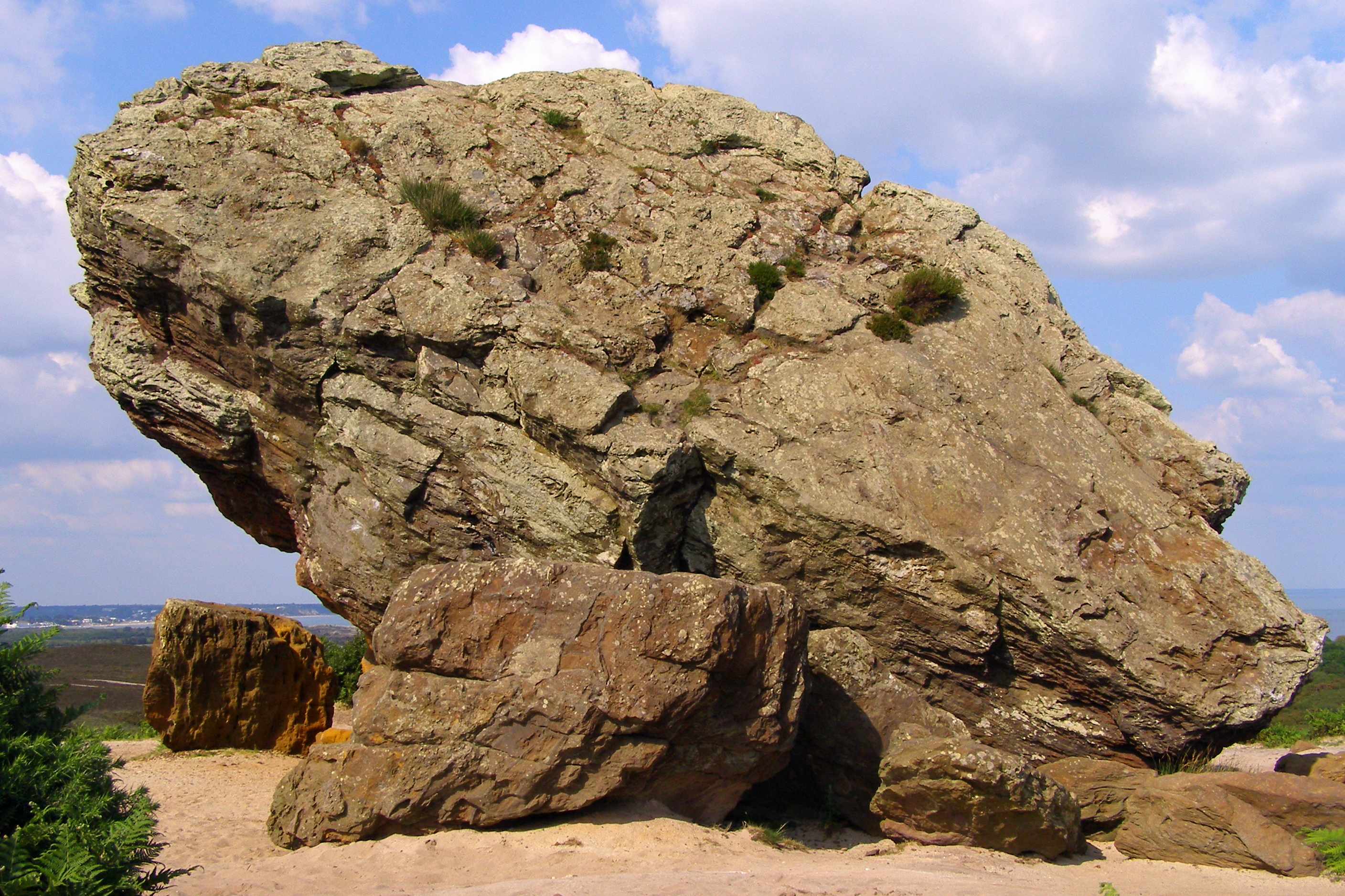
Agglestone Rock
Agglestone Rock, also known as the Devil's Anvil, is a sandstone block of about 400 tonnes weight, perched on a conical hill, approximately 1-mile (1.6...
Nearby Amenities
Located within 500m of 50.638834,-2.0077959Have you been to Nelson Plantation?
Leave your review of Nelson Plantation below (or comments, questions and feedback).