Foxground Plantation

Wood, Forest in Dorset

England

Foxground Plantation

Purbeck Way at Brenscombe Hill
Purbeck Way at Brenscombe Hill Credit: Colin Park

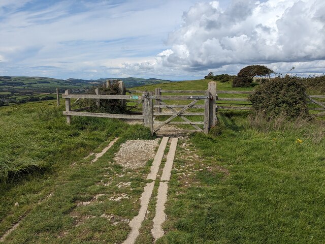
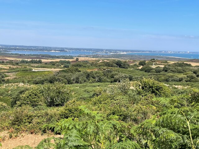
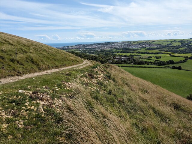
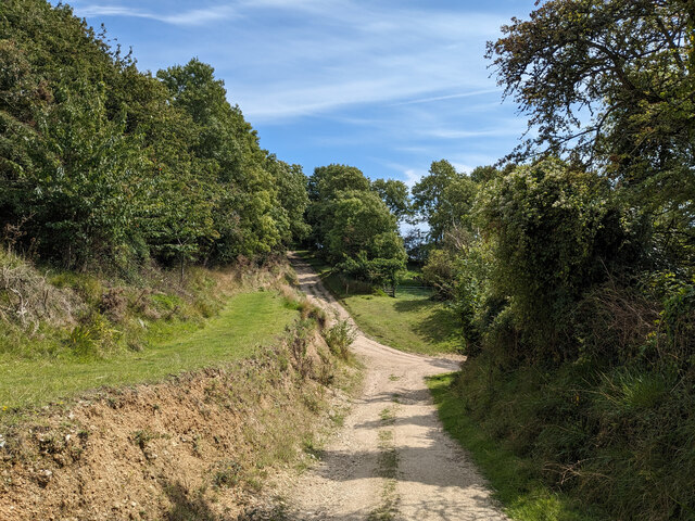
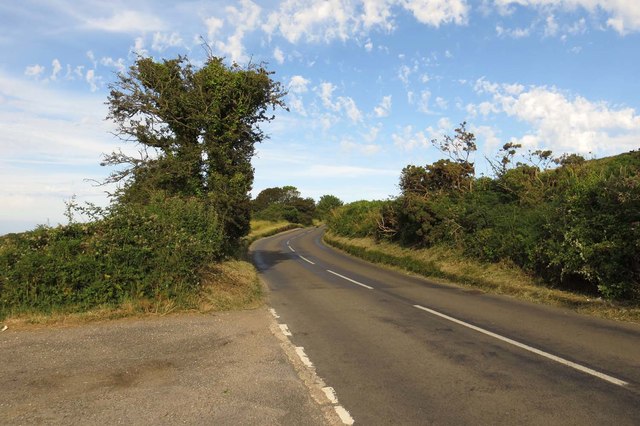
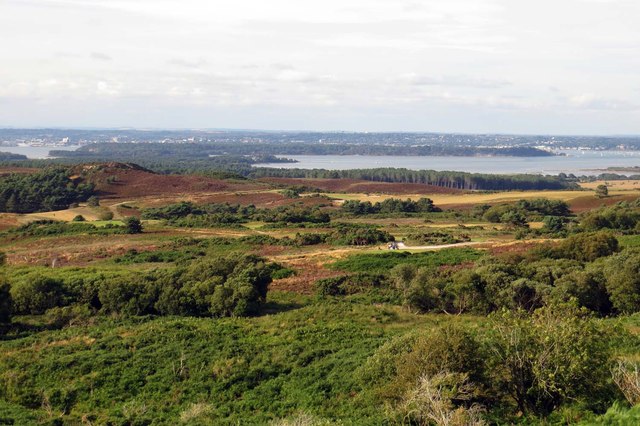
Foxground Plantation is a scenic and expansive woodland located in the county of Dorset, England. Covering an area of approximately 500 acres, it is a captivating destination for nature enthusiasts and outdoor adventurers alike.

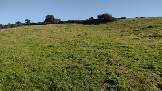
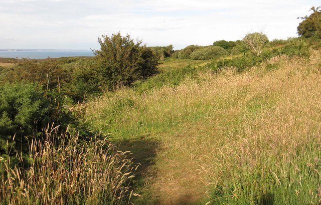
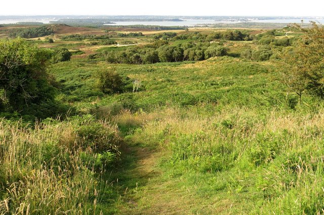
The plantation is primarily composed of a mix of native and non-native tree species, creating a diverse and vibrant ecosystem. Towering oak, beech, and coniferous trees dominate the landscape, providing a lush canopy that shelters a variety of flora and fauna beneath. The forest floor is adorned with an array of wildflowers, ferns, and mosses, creating a picturesque scene throughout the seasons.

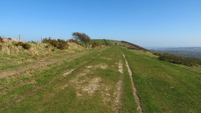
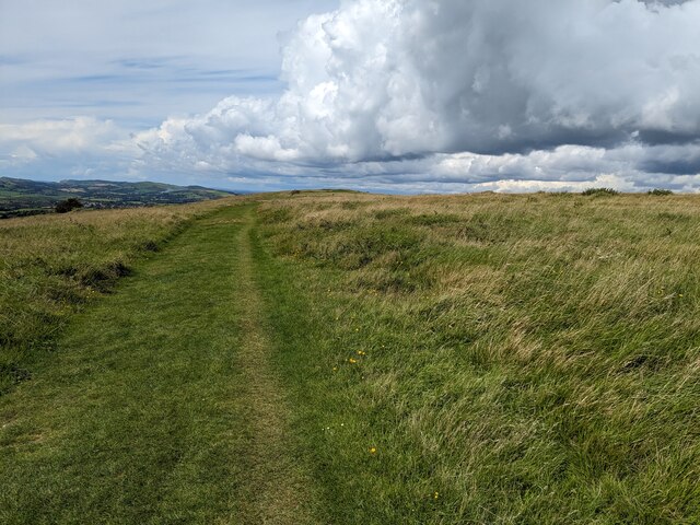
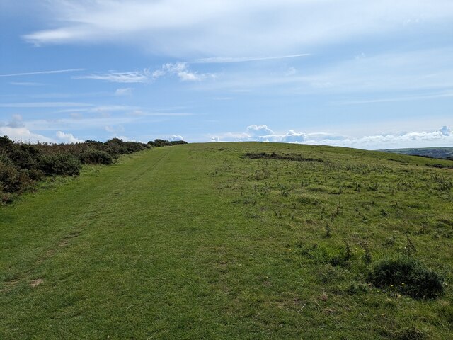
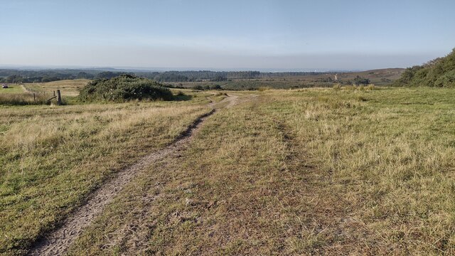
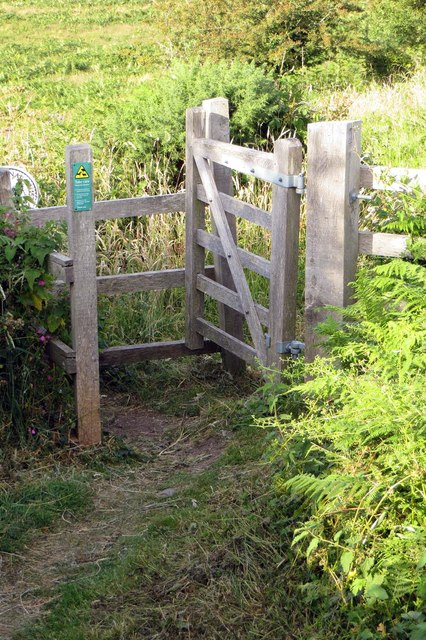
Traversing through Foxground Plantation, visitors can explore a network of well-maintained footpaths and trails that wind their way through the woodland. These paths offer opportunities for leisurely walks, jogging, and cycling, allowing visitors to immerse themselves in the tranquility and natural beauty of the area.

The plantation is also home to a rich assortment of wildlife. Birdwatchers will delight in the chance to spot various avian species, including woodpeckers, owls, and warblers. Foxes, badgers, and deer are among the mammals that can be encountered during a visit to the forest, adding to the sense of wilderness and enchantment.

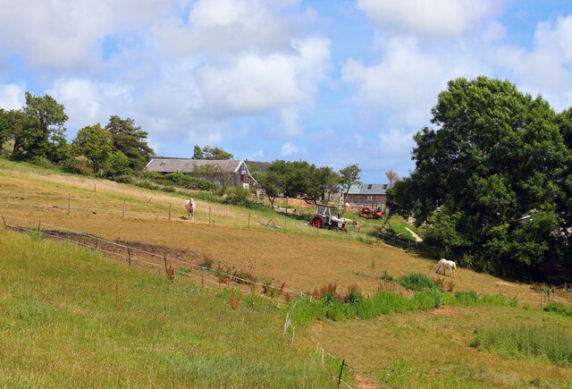
With its idyllic setting and diverse ecosystem, Foxground Plantation attracts both locals and tourists seeking respite from the hustle and bustle of everyday life. Its natural charm and serene atmosphere make it an ideal destination for those looking to reconnect with nature and experience the beauty of Dorset's woodlands.

If you have any feedback on the listing, please let us know in the comments section below.

Foxground Plantation Images

Images are sourced within 2km of 50.640984/-2.0062406 or Grid Reference SY9982. Thanks to Geograph Open Source API. All images are credited.

Purbeck Way at Brenscombe Hill
Tabbit's Hill Farm Farm near Harmans Cross.
Tabbit's Hill Farm
Farm near Harmans Cross.
Ailwood Down, National Trust
Purbeck Way
Purbeck Way
Gateway on the Purbeck Way
Bridleway heading to Kingswood Heath From Kingswood Farm the bridleway heading to Kingswood Heath
Bridleway heading to Kingswood Heath
From Kingswood Farm the bridleway heading to Kingswood Heath
Path climbing up to the View Point Path climbing up to the view point on the B3351
Path climbing up to the View Point
Path climbing up to the view point on the B3351
View over Godlingston Heath From a viewpoint on the B3351
View over Godlingston Heath
From a viewpoint on the B3351
Nine Barrow Down
Nine Barrow Down
Track at the edge of the gravel pit
Kingswood Farm by the B3351
View across Godlingston Heath A well-known viewpoint on the B3351, at the edge of Godlingston Heath, where one can see over Poole Harbour and onwards to Bournemouth.
View across Godlingston Heath
A well-known viewpoint on the B3351, at the edge of Godlingston Heath, where one can see over Poole Harbour and onwards to Bournemouth.
Fallen OS Trig Point near Nine Barrow Down. OS Trig Point seems to have been toppled.....big gust of wind over Nine Barrow Down? I suppose with GPS and aerial survey these are not really needed any more.
Fallen OS Trig Point near Nine Barrow Down.
OS Trig Point seems to have been toppled.....big gust of wind over Nine Barrow Down? I suppose with GPS and aerial survey these are not really needed any more.
The B3351 to Studland
Kissing gate on Godlingston Heath
Path across Godlingston Heath
Path down Godlingston Heath
Looking across Godlingston Heath Brownsea Island is in the distance.
Looking across Godlingston Heath
Brownsea Island is in the distance.
Show me another place!

Foxground Plantation is located at Grid Ref: SY9982 (Lat: 50.640984, Lng: -2.0062406)

Unitary Authority: Dorset

Police Authority: Dorset

What 3 Words

///jetliner.flight.locals. Near Corfe Castle, Dorset

Related Wikis

Rempstone Stone Circle

Rempstone Stone Circle (grid reference SY994820) is a stone circle located near to Corfe Castle on the Isle of Purbeck in the south-western English county...

Brenscombe Heath

Brenscombe Heath (grid reference SY985829) is a 34.7 hectare biological Site of Special Scientific Interest in Corfe Castle, Dorset, notified in 1985....

Woolgarston

Woolgarston is a village in Dorset, England. == External links == Media related to Woolgarston at Wikimedia Commons

Nine Barrow Down

Nine Barrow Down is an elongated hill forming the northern ridge of the Purbeck Hills on the Isle of Purbeck in Dorset, England. The chalk down is part...

Nearby Amenities

Located within 500m of 50.640984,-2.0062406
Material: wood
Power: pole
Source: bing
Lat/Long: 50.6430841/-2.0030351
Material: wood
Power: pole
Source: bing
Lat/Long: 50.6395343/-2.0002927
Material: wood
Power: pole
Source: bing
Lat/Long: 50.639684/-2.0004648
Material: wood
Power: pole
Source: bing
Lat/Long: 50.6407328/-2.0005797
Material: wood
Power: pole
Source: bing
Lat/Long: 50.6408459/-2.0007379
Material: wood
Power: pole
Source: bing
Lat/Long: 50.6420021/-2.0010128
Material: wood
Power: pole
Source: bing
Lat/Long: 50.6420488/-2.000887
Material: wood
Power: pole
Source: bing
Lat/Long: 50.6425242/-2.0020674
Material: wood
Power: pole
Source: bing
Lat/Long: 50.6425391/-2.0019061
Material: wood
Power: pole
Source: bing
Lat/Long: 50.6440416/-2.0049503
Material: wood
Power: pole
Source: bing
Lat/Long: 50.6448128/-2.0067243
Material: wood
Power: pole
Source: bing
Lat/Long: 50.6432987/-2.0034358
Material: wood
Power: pole
Source: bing
Lat/Long: 50.6433773/-2.0038126
Material: wood
Power: pole
Source: bing
Lat/Long: 50.6440953/-2.0052845
Material: wood
Power: pole
Source: bing
Lat/Long: 50.6447883/-2.0064739
Rempstone Stone Circle
Archaeological Site: megalith
Historic: archaeological_site
Megalith Type: stone_circle
Wikidata: Q14949376
Lat/Long: 50.6383159/-2.0089796
Power: pole
Source: bing
Lat/Long: 50.6399981/-2.0119431
Power: pole
Source: bing
Lat/Long: 50.6396686/-2.0111753
Power: pole
Source: bing
Lat/Long: 50.6387976/-2.0092119
Power: pole
Source: bing
Lat/Long: 50.6393828/-2.0104538
Power: pole
Source: bing
Lat/Long: 50.6378306/-2.0074537
Power: pole
Source: bing
Lat/Long: 50.6382125/-2.0080572
Power: pole
Source: bing
Lat/Long: 50.6371927/-2.005485
Power: pole
Source: bing
Lat/Long: 50.6372913/-2.0062441
Power: pole
Source: bing
Lat/Long: 50.6371425/-2.0039414
Power: pole
Source: bing
Lat/Long: 50.6371331/-2.0030804
The data included in this document is from www.openstreetmap.org. The data is made available under ODbL.

Have you been to Foxground Plantation?

Leave your review of Foxground Plantation below (or comments, questions and feedback).