Middle Plantation

Wood, Forest in Dorset

England

Middle Plantation

Purbeck Way at Brenscombe Hill
Purbeck Way at Brenscombe Hill Credit: Colin Park

Middle Plantation is a small village located in the county of Dorset, in the southwestern part of England. Situated amidst lush woodlands and rolling hills, it is known for its picturesque beauty and tranquil atmosphere. The village gets its name from its location, being situated in the middle of a dense forest.

Covering an area of approximately 3 square miles, Middle Plantation is home to a population of around 500 residents. The village is characterized by its charming thatched-roof cottages, which date back to the 17th and 18th centuries, adding to its historic appeal.

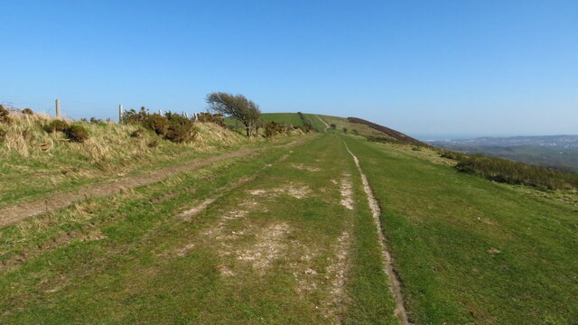
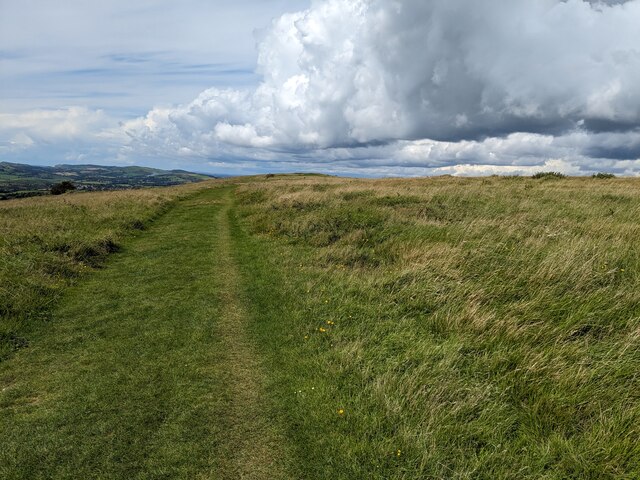
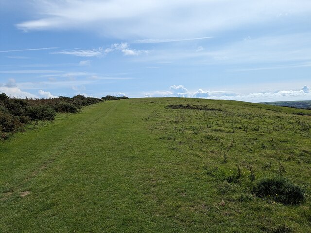
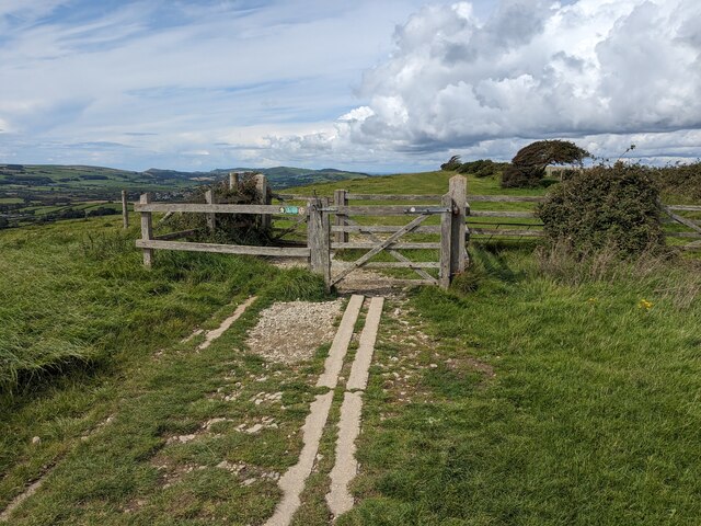
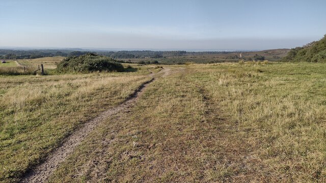
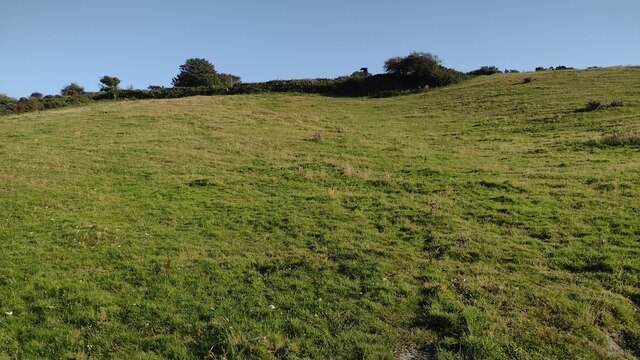
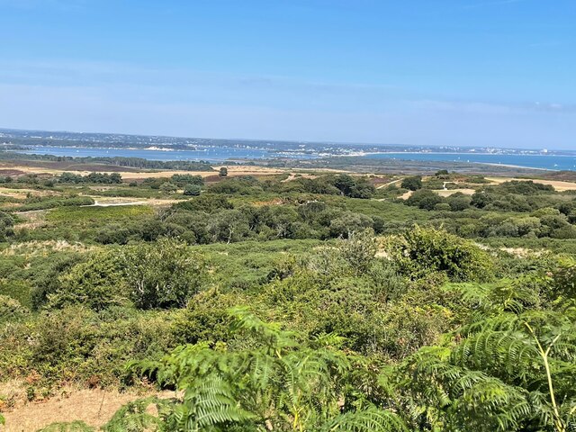
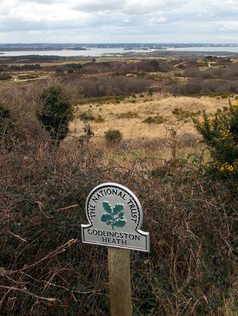
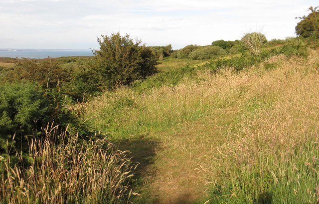
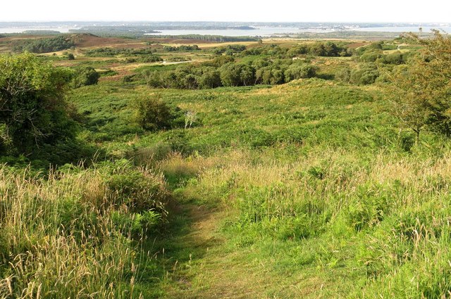
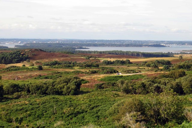
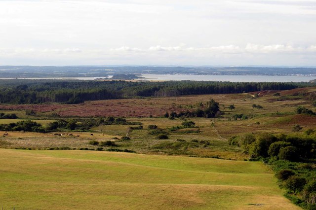
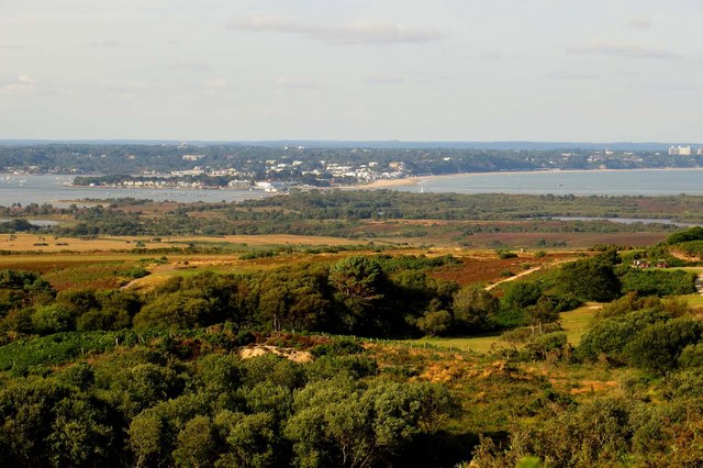
Surrounded by the natural beauty of the Dorset Wood, Middle Plantation offers a range of outdoor activities for nature enthusiasts. The forest provides ample opportunities for hiking, cycling, and birdwatching, with numerous trails winding through its ancient trees.

The village is well-served by a local primary school, providing education for the younger residents. There is also a quaint village pub, serving as a social hub for the community, where locals and visitors can enjoy traditional English cuisine and beverages.

Despite its small size, Middle Plantation has a close-knit community that takes pride in its heritage and natural surroundings. It hosts an annual summer festival, featuring local arts and crafts, music performances, and traditional festivities, bringing the community together.

In summary, Middle Plantation is a charming village nestled in the heart of Dorset's woodlands. Its rich history, natural beauty, and tight-knit community make it an idyllic destination for those seeking a peaceful retreat in the English countryside.

If you have any feedback on the listing, please let us know in the comments section below.

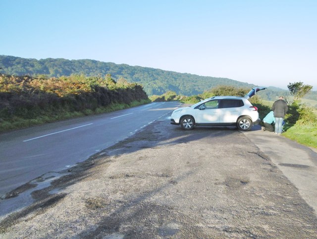
Middle Plantation Images

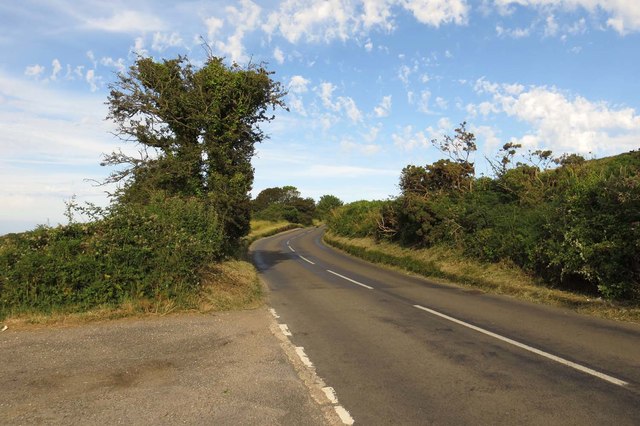
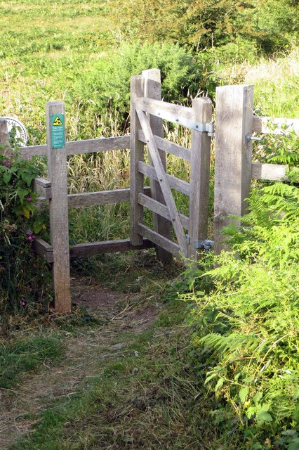
Images are sourced within 2km of 50.646001/-2.013412 or Grid Reference SY9982. Thanks to Geograph Open Source API. All images are credited.

Purbeck Way at Brenscombe Hill
Ailwood Down, National Trust
Purbeck Way
Purbeck Way
Gateway on the Purbeck Way
Bridleway heading to Kingswood Heath From Kingswood Farm the bridleway heading to Kingswood Heath
Bridleway heading to Kingswood Heath
From Kingswood Farm the bridleway heading to Kingswood Heath
Path climbing up to the View Point Path climbing up to the view point on the B3351
Path climbing up to the View Point
Path climbing up to the view point on the B3351
View over Godlingston Heath From a viewpoint on the B3351
View over Godlingston Heath
From a viewpoint on the B3351
Kingswood Farm by the B3351
View across Godlingston Heath A well-known viewpoint on the B3351, at the edge of Godlingston Heath, where one can see over Poole Harbour and onwards to Bournemouth.
View across Godlingston Heath
A well-known viewpoint on the B3351, at the edge of Godlingston Heath, where one can see over Poole Harbour and onwards to Bournemouth.
The B3351 to Studland
Kissing gate on Godlingston Heath
Path across Godlingston Heath
Path down Godlingston Heath
Looking across Godlingston Heath Brownsea Island is in the distance.
Looking across Godlingston Heath
Brownsea Island is in the distance.
Looking across Godlingston Heath
Looking across Godlingston Heath Sandbanks is in the distance.
Looking across Godlingston Heath
Sandbanks is in the distance.
Rempstone, viewpoint Breakfast is being cooked at the viewpoint on New Road (B3351). The viewpoint has good views across farmland and plantations towards Poole Harbour <a href="https://www.geograph.org.uk/photo/1422719">SZ0081 : Godlingston, view</a>.
Rempstone, viewpoint
Breakfast is being cooked at the viewpoint on New Road (B3351). The viewpoint has good views across farmland and plantations towards Poole Harbour SZ0081 : Godlingston, view.
Rempstone, footpath (somewhere) Path from the viewpoint on New Road, which meets the bridleway to Rempstone Heath. The stile at the start of the path is barely recognisable, and there are no markers.
Rempstone, footpath (somewhere)
Path from the viewpoint on New Road, which meets the bridleway to Rempstone Heath. The stile at the start of the path is barely recognisable, and there are no markers.
Show me another place!

Middle Plantation is located at Grid Ref: SY9982 (Lat: 50.646001, Lng: -2.013412)

Unitary Authority: Dorset

Police Authority: Dorset

What 3 Words

///snapped.launched.discusses. Near Corfe Castle, Dorset

Related Wikis

Brenscombe Heath

Brenscombe Heath (grid reference SY985829) is a 34.7 hectare biological Site of Special Scientific Interest in Corfe Castle, Dorset, notified in 1985....

Rempstone Stone Circle

Rempstone Stone Circle (grid reference SY994820) is a stone circle located near to Corfe Castle on the Isle of Purbeck in the south-western English county...

Woolgarston

Woolgarston is a village in Dorset, England. == External links == Media related to Woolgarston at Wikimedia Commons

Wytch Farm

Wytch Farm is an oil field and processing facility in the Purbeck district of Dorset, England. It is the largest onshore oil field in western Europe. The...

Nearby Amenities

Located within 500m of 50.646001,-2.013412
Rempstone
Created By: Potlatch 0.10b
Place: hamlet
Lat/Long: 50.6438859/-2.0149815
Material: wood
Power: pole
Source: bing
Lat/Long: 50.6448128/-2.0067243
Material: wood
Power: pole
Source: bing
Lat/Long: 50.6463168/-2.00979
Material: wood
Power: pole
Source: bing
Lat/Long: 50.6463474/-2.0096455
Material: wood
Power: pole
Source: bing
Lat/Long: 50.6470838/-2.0113607
Material: wood
Power: pole
Source: bing
Lat/Long: 50.6471503/-2.0112936
Material: wood
Poles: bipole
Power: pole
Source: bing
Lat/Long: 50.6474409/-2.013303
Material: wood
Poles: bipole
Power: pole
Source: bing
Lat/Long: 50.6475119/-2.0132347
Material: wood
Poles: bipole
Power: pole
Source: bing
Lat/Long: 50.647979/-2.0162828
Material: wood
Poles: bipole
Power: pole
Source: bing
Lat/Long: 50.6480451/-2.0160317
Material: wood
Power: pole
Lat/Long: 50.6471093/-2.0172956
Material: wood
Power: pole
Lat/Long: 50.6476081/-2.0184574
Rempstone Farm
Landuse: farm
Note Retag: CS #48756035
Source: OS OpenData StreetView
Lat/Long: 50.645391/-2.0175776
Post Box
Collection Times: Mo-Fr 10:15; Sa 10:15
Operator: Royal Mail
Post Box Type: lamp
Ref: BH20 193
Ref GB Uprn: 10015454747
Royal Cypher: EIIR
Royal Cypher Wikidata: Q33102113
Source: survey
Lat/Long: 50.6442727/-2.017273
Power: pole
Source: bing
Lat/Long: 50.6455309/-2.0079915
Power: pole
Source: bing
Lat/Long: 50.646383/-2.0172559
Power: pole
Source: bing
Transformer: distribution
Lat/Long: 50.6456355/-2.0172049
Power: pole
Source: bing
Lat/Long: 50.6448795/-2.0168877
Power: pole
Source: bing
Lat/Long: 50.6442978/-2.0166336
Power: pole
Source: bing
Lat/Long: 50.6426972/-2.0173444
Power: pole
Source: bing
Lat/Long: 50.6436106/-2.0163345
Power: pole
Source: bing
Lat/Long: 50.6429617/-2.0160529
Power: pole
Source: bing
Lat/Long: 50.6422728/-2.0159054
The data included in this document is from www.openstreetmap.org. The data is made available under ODbL.

Have you been to Middle Plantation?

Leave your review of Middle Plantation below (or comments, questions and feedback).