Aird Adhanais
Settlement in Inverness-shire
Scotland
Aird Adhanais

Aird Adhanais is a small coastal village located in the Inverness-shire region of Scotland. Situated on the shores of the Beauly Firth, it offers breathtaking views of the surrounding natural beauty. The village is nestled between the towns of Beauly and Inverness, providing easy access to urban amenities while maintaining a peaceful and tranquil atmosphere.
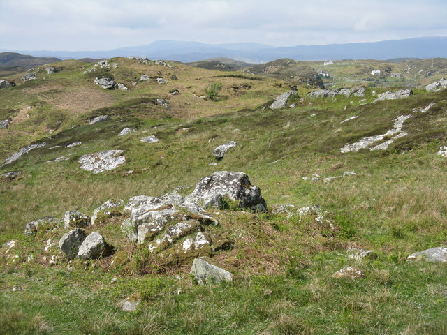
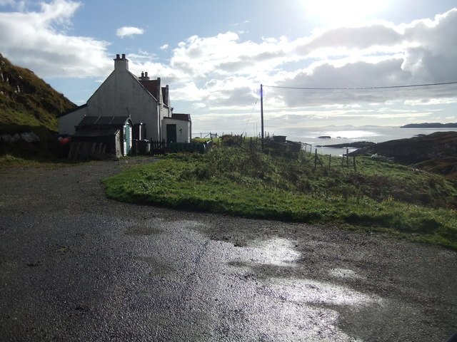
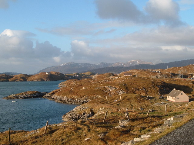
The main attraction of Aird Adhanais is its stunning coastline, which features sandy beaches, rugged cliffs, and picturesque sea views. It is a popular spot for outdoor enthusiasts, with opportunities for activities such as walking, hiking, and birdwatching. The village is also known for its vibrant wildlife, with frequent sightings of seals, dolphins, and various species of seabirds.
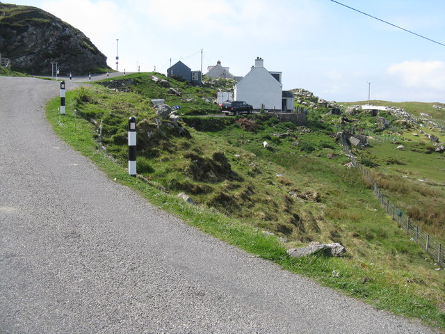
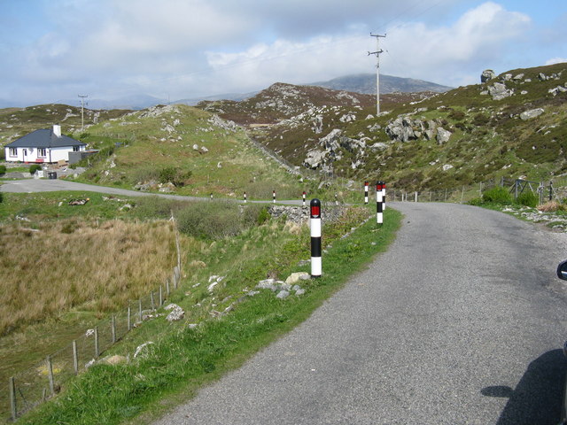
Despite its small size, Aird Adhanais has a strong sense of community, with a friendly and welcoming atmosphere. The village has a primary school, a local pub, and a few shops catering to the daily needs of its residents. The nearby towns of Beauly and Inverness offer a wider range of amenities, including supermarkets, restaurants, and cultural attractions.
Aird Adhanais is well-connected to the rest of the region, with good transportation links. The A9 road runs nearby, providing easy access to Inverness and the rest of the Scottish Highlands. Additionally, the Inverness Airport is a short distance away, offering domestic and international flights.
In summary, Aird Adhanais is a charming coastal village in Inverness-shire, Scotland. With its stunning natural surroundings, strong sense of community, and proximity to urban amenities, it is an ideal place for those seeking a peaceful and scenic lifestyle.
If you have any feedback on the listing, please let us know in the comments section below.
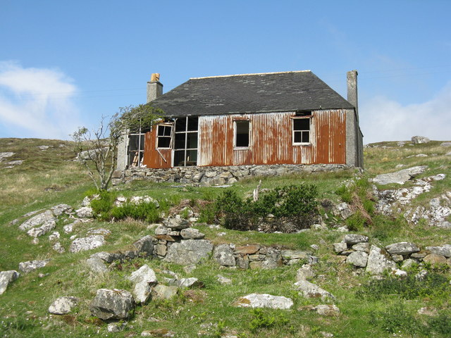
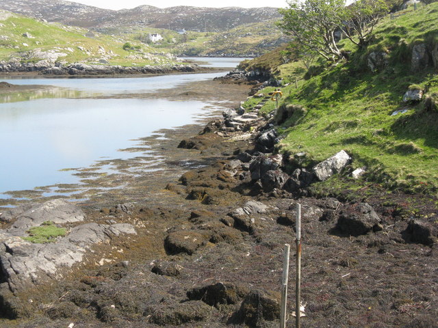
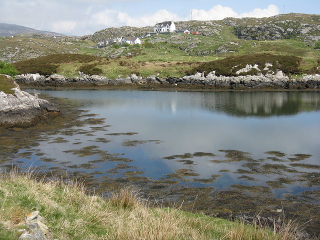
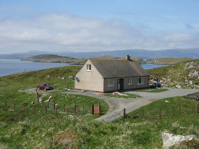
Aird Adhanais Images
Images are sourced within 2km of 57.848758/-6.6872307 or Grid Reference NG2294. Thanks to Geograph Open Source API. All images are credited.
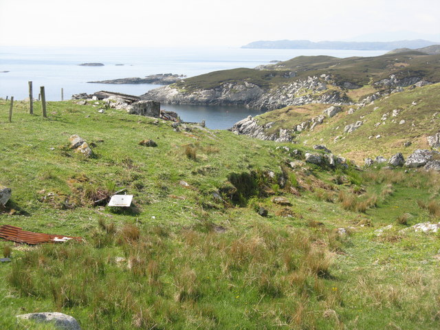
![BÃ gh Ceann na Muice Or Bagh Ceann na Muise [OS spelling varies from scale to scale]. Looking across rocky grasslend from the road to Ceann a Bhàigh.](https://s3.geograph.org.uk/geophotos/05/00/85/5008571_10a21ca1.jpg)


Aird Adhanais is located at Grid Ref: NG2294 (Lat: 57.848758, Lng: -6.6872307)
Unitary Authority: Na h-Eileanan an Iar
Police Authority: Highlands and Islands
Also known as: Ardteaginish
What 3 Words
///funky.cabinets.softly. Near Tarbert, Na h-Eileanan Siar
Nearby Locations
Related Wikis

Scalpay, Outer Hebrides
Scalpay (; Scottish Gaelic: Sgalpaigh or Sgalpaigh na Hearadh; i.e. "Scalpay of Harris" to distinguish it from Scalpay off Skye) is an island in the Outer...

Eilean Glas, Scalpay
Eilean Glas is a peninsula of Scalpay in the Outer Hebrides, Scotland. Eilean Glas is home to a historic lighthouse. Eilean Glas means Grey/Green Island...

Eilean Glas Lighthouse
Eilean Glas Lighthouse is situated on the east coast of the island of Scalpay in the Outer Hebrides of Scotland. It was one of the original four lights...

East Loch Tarbert
East Loch Tarbert (Scottish Gaelic: Loch an Tairbeairt) is a sea loch that lies to the east of Harris in the Outer Hebrides of Scotland. The loch contains...
Nearby Amenities
Located within 500m of 57.848758,-6.6872307Have you been to Aird Adhanais?
Leave your review of Aird Adhanais below (or comments, questions and feedback).