Ardtalnaig

Settlement in Perthshire

Scotland

Ardtalnaig

Ardtalnaig A small settlement on the south Loch Tay road. Pipes on the left are for construction of a hydroelectric scheme on the Ardtalnaig Burn.
Ardtalnaig Credit: Jim Barton

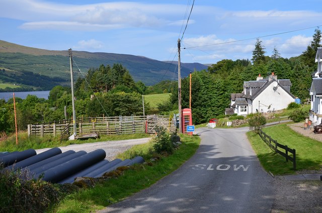
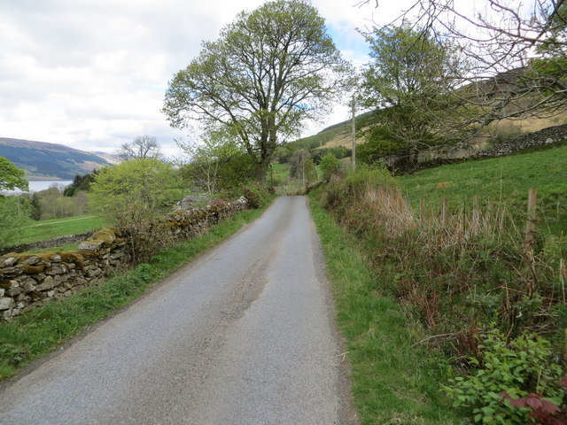
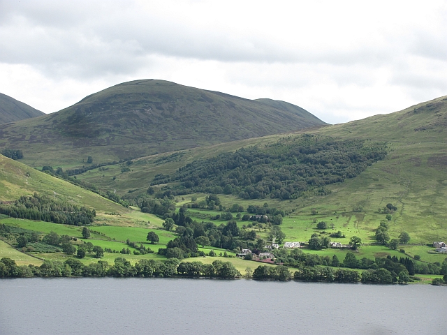
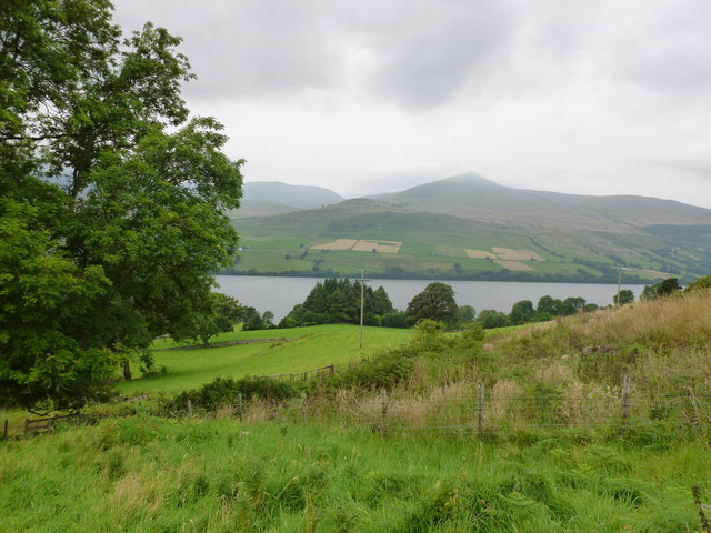
Ardtalnaig is a small village located in the county of Perthshire, Scotland. Nestled within the picturesque surroundings of the Highland region, it lies on the southern shore of Loch Tay, the largest loch in Perthshire. The village is situated approximately 19 miles west of the town of Aberfeldy and 10 miles north of the town of Killin.

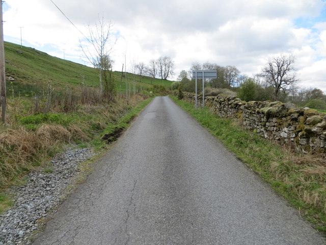
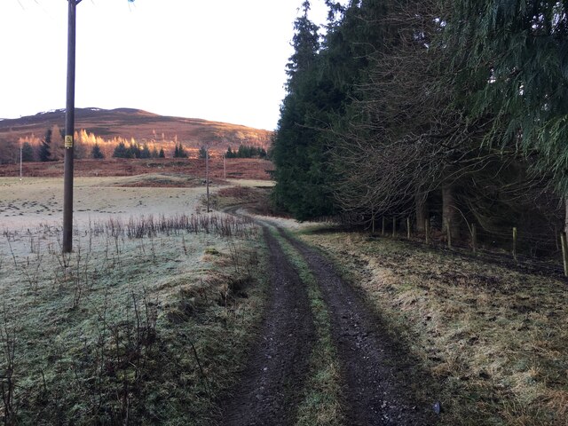
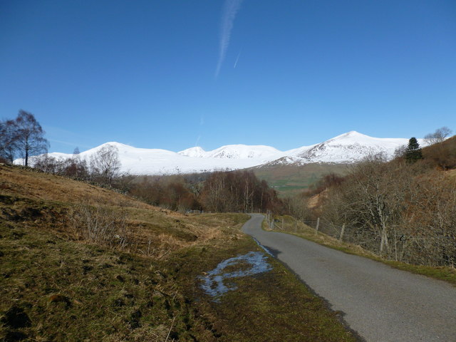
Ardtalnaig is known for its stunning natural beauty and offers visitors a tranquil and idyllic retreat. Surrounded by rolling hills, verdant forests, and the sparkling waters of Loch Tay, it provides ample opportunities for outdoor activities such as hiking, fishing, and boating.

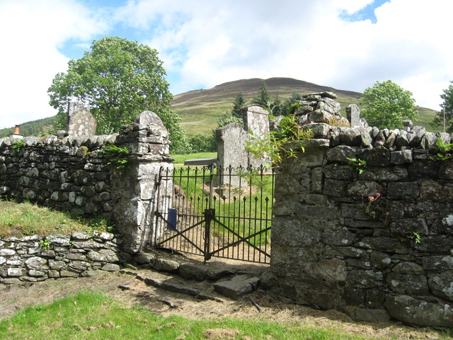
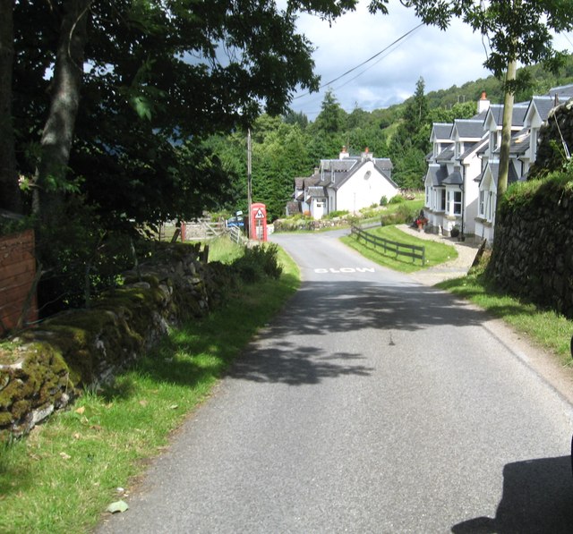
The village itself is small and consists of a handful of traditional stone cottages, giving it a charming and quaint atmosphere. There is also a small church, offering a place for worship and community gatherings.

Although relatively remote, Ardtalnaig is well-connected to nearby towns and attractions. The nearby town of Aberfeldy offers amenities such as shops, restaurants, and accommodation options, while Killin boasts the stunning waterfall of Dochart Falls.

For those seeking a peaceful escape from the hustle and bustle of city life, Ardtalnaig provides a serene and scenic haven. With its breathtaking landscapes and opportunities for outdoor exploration, it is a destination that appeals to nature enthusiasts, photographers, and those simply looking to unwind in a beautiful setting.

If you have any feedback on the listing, please let us know in the comments section below.
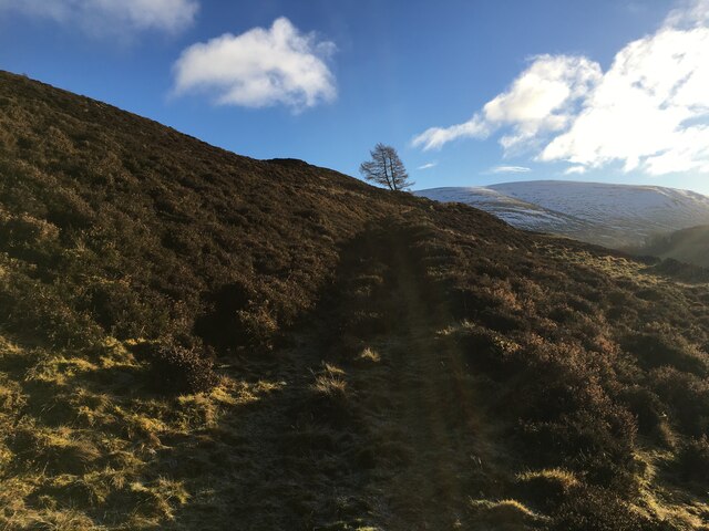
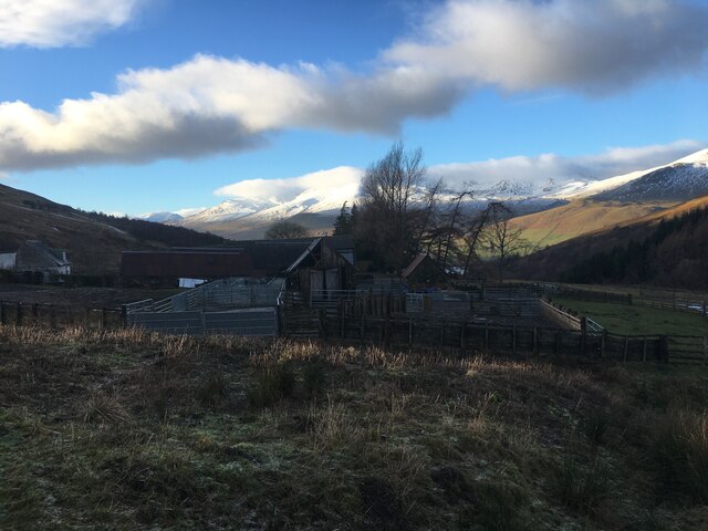
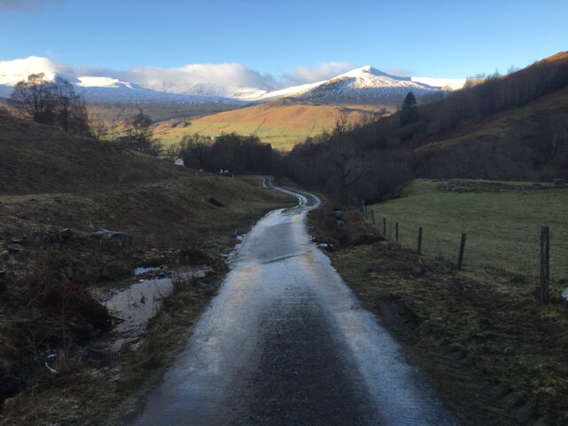
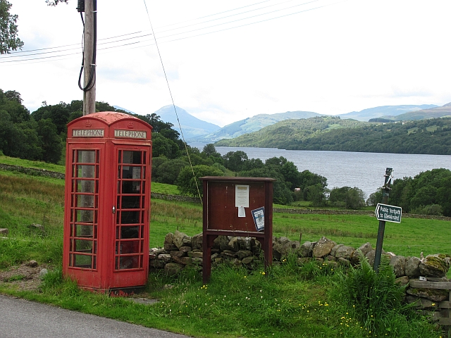
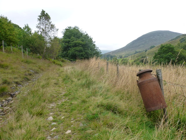
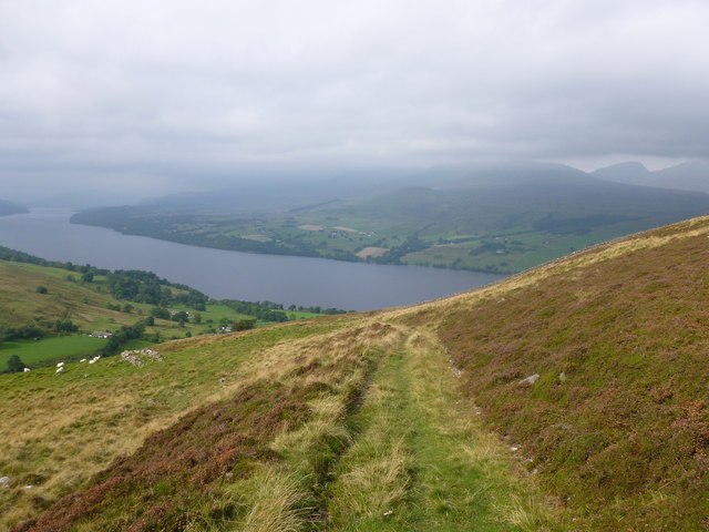
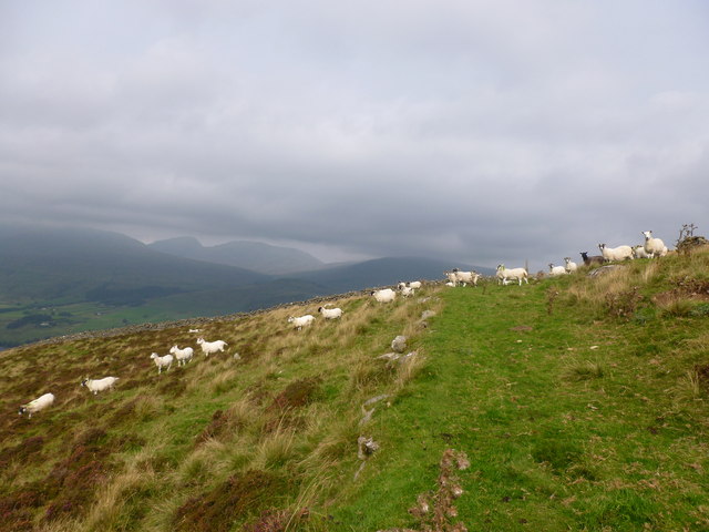
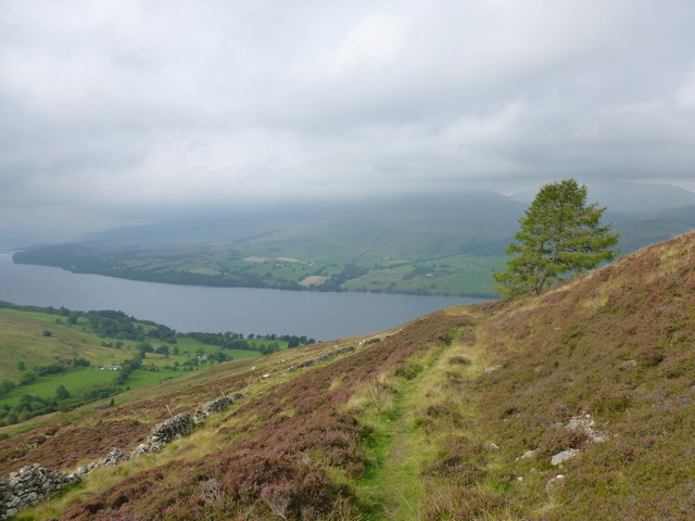
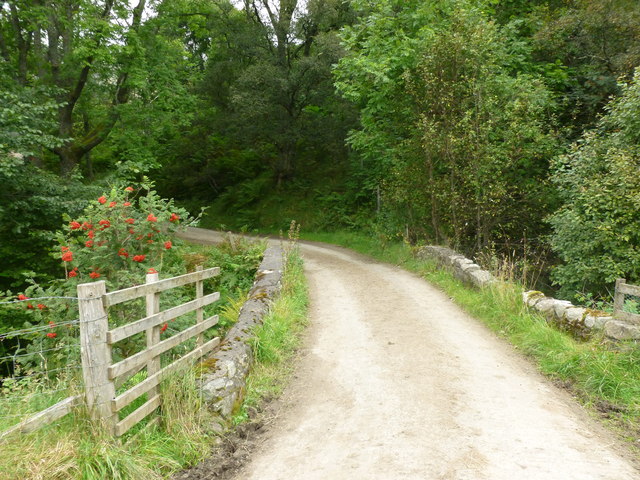
Ardtalnaig Images

Images are sourced within 2km of 56.527023/-4.111942 or Grid Reference NN7039. Thanks to Geograph Open Source API. All images are credited.

Ardtalnaig A small settlement on the south Loch Tay road. Pipes on the left are for construction of a hydroelectric scheme on the Ardtalnaig Burn.
Ardtalnaig
A small settlement on the south Loch Tay road. Pipes on the left are for construction of a hydroelectric scheme on the Ardtalnaig Burn.
Road near to Kendrochit Farm Looking south-westward.
Road near to Kendrochit Farm
Looking south-westward.
Road near to Kindrochit Farm Looking north-eastward.
Road near to Kindrochit Farm
Looking north-eastward.
Farm track at Ardtalnaig
Hill track near Ardtalnaig
Farm buildings at Claggan
Road towards Ardtalnaig
Telephone box, Ardtalnaig A scenic spot with a view of Loch Tay and Ben More.
Telephone box, Ardtalnaig
A scenic spot with a view of Loch Tay and Ben More.
Ardtalnaig Ardtalnaig is situated on the south side of Loch Tay, under the Shee of Ardtalnaig. The glen behind the village is an old drove route to Glen Almond and on to Crieff.
Ardtalnaig
Ardtalnaig is situated on the south side of Loch Tay, under the Shee of Ardtalnaig. The glen behind the village is an old drove route to Glen Almond and on to Crieff.
Entrance to the old graveyard at Ardtalnaig On the south shore of Loch Tay.
Entrance to the old graveyard at Ardtalnaig
On the south shore of Loch Tay.
Ardtalnaig Atmospheric hamlet on the south banks of Loch Tay.
Ardtalnaig
Atmospheric hamlet on the south banks of Loch Tay.
Farmland on the north side of Allt a' Chilleine Looking across Loch Tay towards Ben Lawers.
Farmland on the north side of Allt a' Chilleine
Looking across Loch Tay towards Ben Lawers.
Old metal milk can on a fence, Milton of Ardtalnaig By the track on the north side of Allt a' Chilleine.  The hill in the background is Shee of Ardtalnaig.
Old metal milk can on a fence, Milton of Ardtalnaig
By the track on the north side of Allt a' Chilleine. The hill in the background is Shee of Ardtalnaig.
Track across the flanks of Meall nan Oighreag Looking back across Loch Tay, with the cloud level just above the distinctive small peak of An Stuc (part of the Ben Lawers group of hills).
Track across the flanks of Meall nan Oighreag
Looking back across Loch Tay, with the cloud level just above the distinctive small peak of An Stuc (part of the Ben Lawers group of hills).
Sheep crossing the grassy track, Meall nan Oighreag The cloud level just clears the summits of An Stuc and Meall Garbh, part of the Ben Lawers group
Sheep crossing the grassy track, Meall nan Oighreag
The cloud level just clears the summits of An Stuc and Meall Garbh, part of the Ben Lawers group
Lone tree on the flanks of Meall nan Oighreag On heather moorland above Loch Tay.
Lone tree on the flanks of Meall nan Oighreag
On heather moorland above Loch Tay.
Bridge over Allt a' Chloidh Carrying the road on the south side of Ardtalnaig Glen. 

The berries are out on the many rowan trees in this glen.
Bridge over Allt a' Chloidh
Carrying the road on the south side of Ardtalnaig Glen. The berries are out on the many rowan trees in this glen.
Road between Ardtalnaig and Claggan The tarmac road ends up by the farm at Claggan but a walking route can be followed all the way through to Glen Lednock to Comrie.

The snow-covered Ben Lawers range forms the backdrop.
Road between Ardtalnaig and Claggan
The tarmac road ends up by the farm at Claggan but a walking route can be followed all the way through to Glen Lednock to Comrie. The snow-covered Ben Lawers range forms the backdrop.
Show me another place!

Ardtalnaig is located at Grid Ref: NN7039 (Lat: 56.527023, Lng: -4.111942)

Unitary Authority: Perth and Kinross

Police Authority: Tayside

What 3 Words

///allergy.swept.dislikes. Near Aberfeldy, Perth & Kinross

Nearby Locations

Ardtalnaig

Related Wikis

Ardtalnaig

Ardtalnaig (; Àird Talanaig) is a hamlet on the south shore of Loch Tay in Perth and Kinross in Scotland. It is approximately 6 miles (10 km) from Kenmore...

Tomnadashan

Tomnadashan was a hamlet southwest of Ardtalnaig in Scotland. John Campbell, 2nd Marquess of Breadalbane tried to mine copper, gold, and sulphur there...

Loch Tay

Loch Tay (Scottish Gaelic: Loch Tatha) is a freshwater loch in the central highlands of Scotland, in the Perth and Kinross and Stirling council areas....

Lawers

Lawers is a village situated in rural Perthshire, Scotland. It lies on the banks of Loch Tay and at the foot of Ben Lawers. It was once part of a vibrant...

Nearby Amenities

Located within 500m of 56.527023,-4.111942
Ardtalnaig
Alt Name Gd: Àird Talnaig
Name Gd: Àird Talanaig
Place: hamlet
Wikidata: Q4788305
Wikipedia: en:Ardtalnaig
Lat/Long: 56.5272279/-4.111398
Telephone
Booth: K6
Covered: booth
Mapillary: 967491203933538
Source: OS_OpenData_StreetView
Survey Date: 2022-03-24
Lat/Long: 56.5269566/-4.1120918
Ardtalnaig
1860name: Miltown, Turning Mill, Farina Works
Pont: no
Stobie1783: Milltown
Designation: Historic Mill
Historic: archaeological_site
Source: OS Six inch 1st series
Lat/Long: 56.527774/-4.1131992
Power: pole
Lat/Long: 56.523309/-4.1150774
Power: pole
Lat/Long: 56.5238136/-4.1145009
Power: pole
Lat/Long: 56.5244652/-4.1137835
Power: pole
Lat/Long: 56.5250147/-4.1131286
Power: pole
Lat/Long: 56.5253249/-4.1120038
Power: pole
Lat/Long: 56.5255721/-4.1139683
Power: pole
Lat/Long: 56.5259332/-4.1134764
Power: pole
Lat/Long: 56.5270219/-4.1121464
Power: pole
Lat/Long: 56.5256472/-4.1108414
Power: pole
Lat/Long: 56.5253128/-4.1102242
Power: pole
Lat/Long: 56.5248808/-4.1094425
Power: pole
Lat/Long: 56.5244755/-4.1086843
Power: pole
Lat/Long: 56.5242068/-4.107536
Power: pole
Lat/Long: 56.5240133/-4.106701
Power: pole
Lat/Long: 56.526169/-4.1104585
Power: pole
Lat/Long: 56.5267469/-4.1100306
Power: pole
Lat/Long: 56.525748/-4.1101116
Power: pole
Lat/Long: 56.5258003/-4.1095727
Power: pole
Lat/Long: 56.5273643/-4.1093922
Power: pole
Lat/Long: 56.5278963/-4.1092558
Power: pole
Lat/Long: 56.5283951/-4.1091332
Power: pole
Lat/Long: 56.5288288/-4.1090407
Power: pole
Lat/Long: 56.5293697/-4.1089158
Power: pole
Lat/Long: 56.529783/-4.1085364
Power: pole
Lat/Long: 56.530195/-4.1081733
Power: pole
Lat/Long: 56.5304948/-4.1079212
The data included in this document is from www.openstreetmap.org. The data is made available under ODbL.

Have you been to Ardtalnaig?

Leave your review of Ardtalnaig below (or comments, questions and feedback).