Àird Adhanais

Landscape Feature in Inverness-shire

Scotland

Àird Adhanais

Old Peat Cuttings
Old Peat Cuttings Credit: Sandy Gerrard

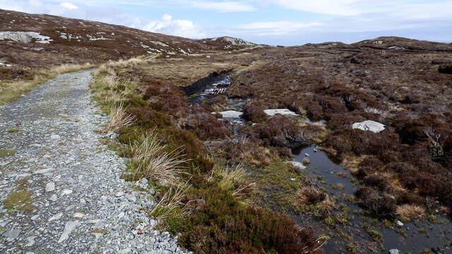
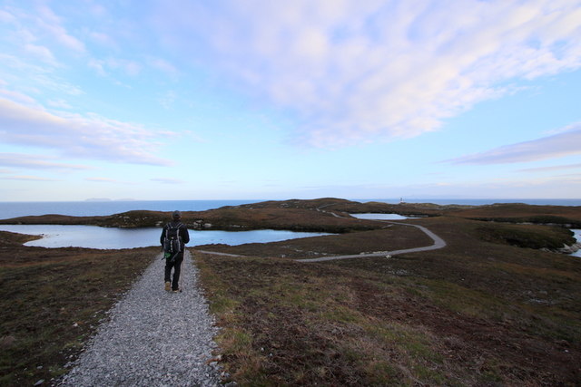
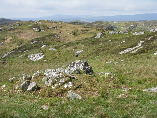
Àird Adhanais is a landscape feature located in the Inverness-shire region of Scotland. It is a prominent headland that overlooks the Kyle of Tongue, offering stunning views of the surrounding countryside and the North Sea. The headland is characterized by its rugged terrain, with rocky cliffs and steep slopes that provide a challenging terrain for hikers and climbers.

The area is known for its rich biodiversity, with a variety of plant and animal species calling Àird Adhanais home. The headland is also a popular spot for birdwatching, with a wide range of seabirds and migratory species passing through the area.

In addition to its natural beauty, Àird Adhanais also has a rich cultural history. The headland is home to several ancient archaeological sites, including a broch and a burial cairn, which provide insight into the area's past inhabitants.

Overall, Àird Adhanais is a must-visit destination for nature lovers, history buffs, and outdoor enthusiasts looking to explore the stunning landscapes and heritage of the Scottish Highlands.

If you have any feedback on the listing, please let us know in the comments section below.

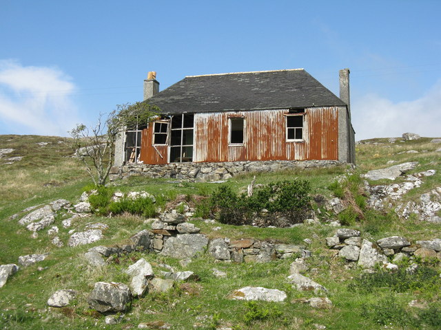
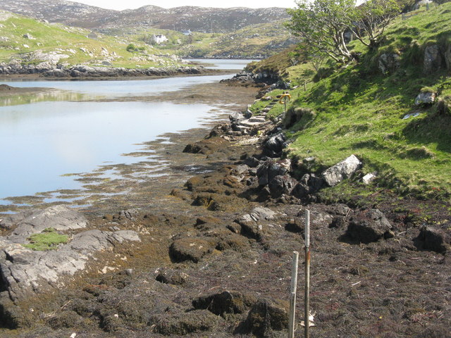
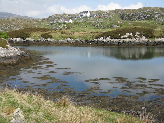
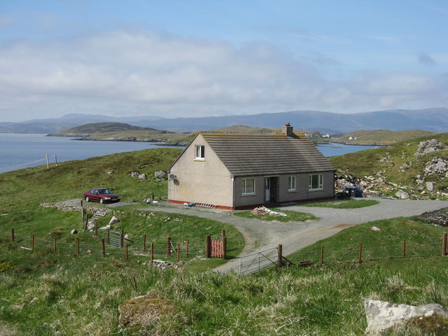
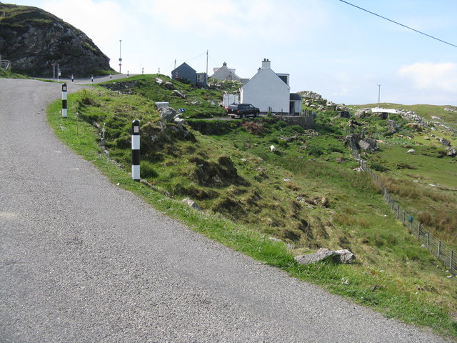
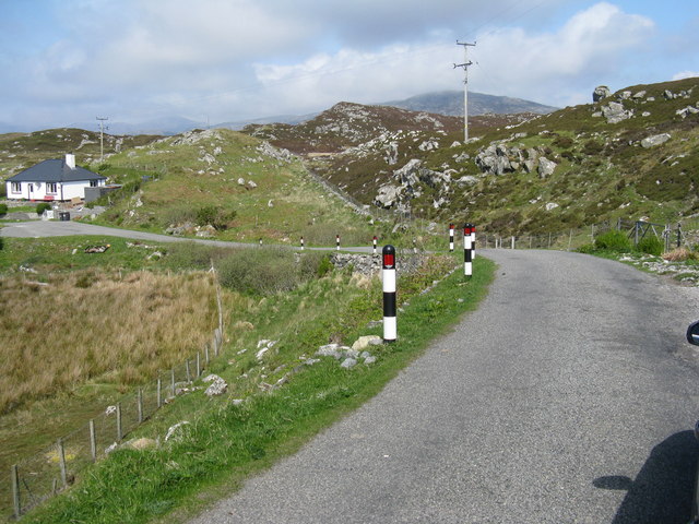
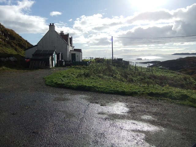
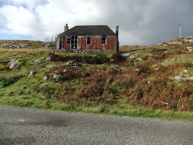
Àird Adhanais Images

Images are sourced within 2km of 57.857381/-6.6834095 or Grid Reference NG2294. Thanks to Geograph Open Source API. All images are credited.
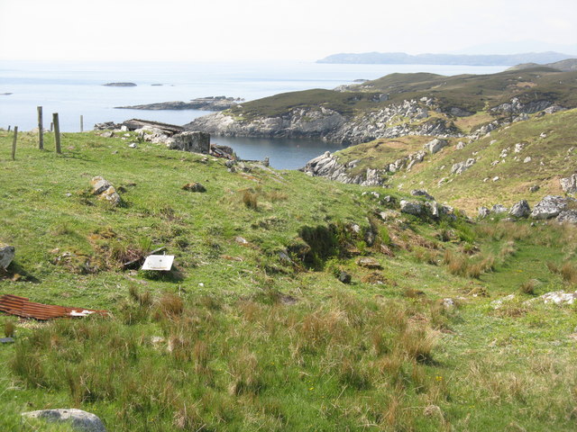
Old Peat Cuttings
Old Peat Cuttings
Track to Eilean Glas Lighthouse There is some small-scale peat cutting immediately next to the track.
Track to Eilean Glas Lighthouse
There is some small-scale peat cutting immediately next to the track.
A lochan on the Heritage Trail to Scalpay Lighthouse The trail is spongy underfoot but well maintained. On the horizon left of centre you can see the Shiant Islands and that's Scalpay Lighthouse lying off the cliffs to the right.
A lochan on the Heritage Trail to Scalpay Lighthouse
The trail is spongy underfoot but well maintained. On the horizon left of centre you can see the Shiant Islands and that's Scalpay Lighthouse lying off the cliffs to the right.
Scalpay Church of Scotland The majority on Scalpay chose to remain in the Free Church when the United Free Church reunited with the established Church of Scotland in 1929.  As the congregation was not enough to justify maintaining a large building and a resident minister, the Church of Scotland kept this small church where services were conducted by a lay missionary, who lived with his family in the nearby <a href="https://www.geograph.org.uk/photo/4742256">NG2196 : Scalpay Mission House</a>

Shortly after this photograph was taken the bridge linking Scalpay to the mainland of Harris was completed, making it possible for the remaining Church of Scotland congregation to attend Sunday services in Tarbert and so there was no longer any need for a missionary.

This small church is now used for services by the Free Church (Continuing).  For a later view from the other side see <a href="https://www.geograph.org.uk/photo/1514144">NG2196 : Church Scalpay</a>.
Scalpay Church of Scotland
The majority on Scalpay chose to remain in the Free Church when the United Free Church reunited with the established Church of Scotland in 1929. As the congregation was not enough to justify maintaining a large building and a resident minister, the Church of Scotland kept this small church where services were conducted by a lay missionary, who lived with his family in the nearby NG2196 : Scalpay Mission House Shortly after this photograph was taken the bridge linking Scalpay to the mainland of Harris was completed, making it possible for the remaining Church of Scotland congregation to attend Sunday services in Tarbert and so there was no longer any need for a missionary. This small church is now used for services by the Free Church (Continuing). For a later view from the other side see NG2196 : Church Scalpay.
Scalpay Mission House The corrugated building was once the home of the lay missionary who served the <a href="https://www.geograph.org.uk/photo/4742254">NG2196 : Scalpay Church of Scotland</a>.  Following the opening of the Scalpay Bridge in 1997, soon after this photograph was taken, the small Church of Scotland congregation was able to travel to worship on the Harris mainland and missionaries no longer resided on the island.
Scalpay Mission House
The corrugated building was once the home of the lay missionary who served the NG2196 : Scalpay Church of Scotland. Following the opening of the Scalpay Bridge in 1997, soon after this photograph was taken, the small Church of Scotland congregation was able to travel to worship on the Harris mainland and missionaries no longer resided on the island.
House on Scalpay/Scalpaigh In need of some restoration.
House on Scalpay/Scalpaigh
In need of some restoration.
Coast at Ãird Adhanais At the end of Sraid Falkland, looking out to Bagh Ceann na Muice.
Coast at Ãird Adhanais
At the end of Sraid Falkland, looking out to Bagh Ceann na Muice.
Tidal island in Bagh Ceann na Muice Sea surrounds the island at high tide, and separates it from the two houses in the distance.
Tidal island in Bagh Ceann na Muice
Sea surrounds the island at high tide, and separates it from the two houses in the distance.
Bàgh Ceann na Muice Or Bagh Ceann na Muise [OS spelling varies from scale to scale]. Looking across rocky grasslend from the road to Ceann a Bhàigh.
Bàgh Ceann na Muice
Or Bagh Ceann na Muise [OS spelling varies from scale to scale]. Looking across rocky grasslend from the road to Ceann a Bhàigh.
House on Straid Falkland Overlooking An Acairseid a Deas near Ceann a Bhàigh.
House on Straid Falkland
Overlooking An Acairseid a Deas near Ceann a Bhàigh.
Coast at Ceann a Bhàigh The end of the road at the southern end of Scalpay/Scalpaigh, over looking Loch an Tairbeairt.
Coast at Ceann a Bhàigh
The end of the road at the southern end of Scalpay/Scalpaigh, over looking Loch an Tairbeairt.
Rocky grassland at Ceann a Bhàigh Otherwise Kennavay, at the south of Scalpay.
Rocky grassland at Ceann a Bhàigh
Otherwise Kennavay, at the south of Scalpay.
Houses at Ceann a Bhàigh Nearing to end of the road at the south of Scalpay.
Houses at Ceann a Bhàigh
Nearing to end of the road at the south of Scalpay.
Ceann a Bhàigh on Scalpay/Scalpaigh Heading back north.
Ceann a Bhàigh on Scalpay/Scalpaigh
Heading back north.
Inlet from Bàgh Ceann na Muice One of two branches of the bay that penetrate Ãird Adhanais.
Inlet from Bàgh Ceann na Muice
One of two branches of the bay that penetrate Ãird Adhanais.
End of the road, Scalpay
Abandoned house, Scalpay
Thamarasaigh A small island south of Scalpay (Harris).
Thamarasaigh
A small island south of Scalpay (Harris).
Show me another place!

Àird Adhanais is located at Grid Ref: NG2294 (Lat: 57.857381, Lng: -6.6834095)

Unitary Authority: Na h-Eileanan an Iar

Police Authority: Highlands and Islands

What 3 Words

///dishes.balloons.signified. Near Tarbert, Na h-Eileanan Siar

Related Wikis

Scalpay, Outer Hebrides

Scalpay (; Scottish Gaelic: Sgalpaigh or Sgalpaigh na Hearadh; i.e. "Scalpay of Harris" to distinguish it from Scalpay off Skye) is an island in the Outer...

Eilean Glas, Scalpay

Eilean Glas is a peninsula of Scalpay in the Outer Hebrides, Scotland. Eilean Glas is home to a historic lighthouse. Eilean Glas means Grey/Green Island...

Eilean Glas Lighthouse

Eilean Glas Lighthouse is situated on the east coast of the island of Scalpay in the Outer Hebrides of Scotland. It was one of the original four lights...

East Loch Tarbert

East Loch Tarbert (Scottish Gaelic: Loch an Tairbeairt) is a sea loch that lies to the east of Harris in the Outer Hebrides of Scotland. The loch contains...

Nearby Amenities

Located within 500m of 57.857381,-6.6834095
Passing Place
Lat/Long: 57.8590329/-6.6790684
Post Box
Collection Times: Mo-Fr 09:30; Sa 09:30
Ref: HS4 147
Royal Cypher: scottish_crown
Source: survey
Lat/Long: 57.8600789/-6.680174
Turning Circle
Lat/Long: 57.8568921/-6.6813287
Àird Aghanais
Place: hamlet
Lat/Long: 57.8592508/-6.6842835
An Ceann a Muigh
Name En: Outend
Name Gd: An Ceann a Muigh
Place: hamlet
Lat/Long: 57.8599607/-6.6776477
South Harbour
Natural: bay
Lat/Long: 57.8576806/-6.6908551
Bagh Ceann na Muice
Natural: bay
Lat/Long: 57.8568601/-6.6763766
Access: private
Entrance: yes
Lat/Long: 57.8596249/-6.6798511
Passing Place
Lat/Long: 57.860253/-6.6802915
Passing Place
Lat/Long: 57.8608944/-6.6808396
Access: private
Entrance: yes
Lat/Long: 57.8567278/-6.6805462
Access: private
Entrance: yes
Lat/Long: 57.8566435/-6.6804607
Passing Place
Lat/Long: 57.861598/-6.6836002
Material: wood
Power: pole
Lat/Long: 57.8613991/-6.6818322
Material: wood
Power: pole
Lat/Long: 57.8588696/-6.6780204
Material: wood
Power: pole
Lat/Long: 57.8598542/-6.6799704
Material: wood
Power: pole
Lat/Long: 57.8613011/-6.6809548
Power: pole
Lat/Long: 57.8569318/-6.6806444
Power: pole
Lat/Long: 57.856885/-6.681015
Power: pole
Lat/Long: 57.8572704/-6.6816214
Power: pole
Lat/Long: 57.8575213/-6.6819751
Power: pole
Lat/Long: 57.8579166/-6.6825572
Power: pole
Lat/Long: 57.8588845/-6.6831729
Power: pole
Lat/Long: 57.8597796/-6.6828024
Power: pole
Lat/Long: 57.8603332/-6.6831729
Power: pole
Lat/Long: 57.8608828/-6.6818516
Power: pole
Lat/Long: 57.8602814/-6.6840517
Power: pole
Lat/Long: 57.8573152/-6.6836511
Passing Place
Lat/Long: 57.8615352/-6.6821291
The data included in this document is from www.openstreetmap.org. The data is made available under ODbL.

Have you been to Àird Adhanais?

Leave your review of Àird Adhanais below (or comments, questions and feedback).