Arthurs Wood
Wood, Forest in Northumberland
England
Arthurs Wood
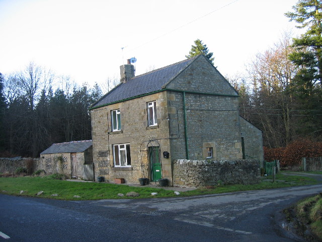
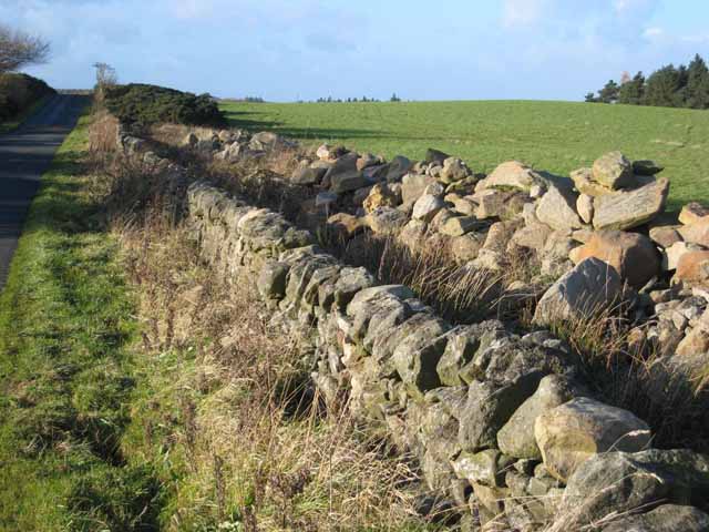
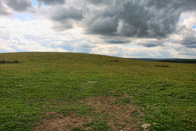
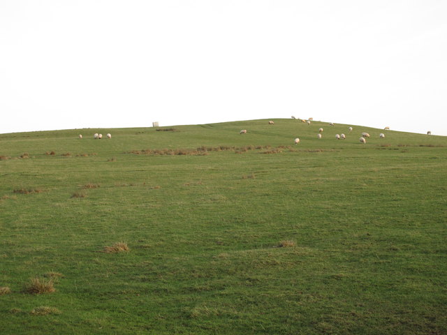
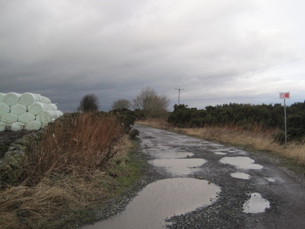
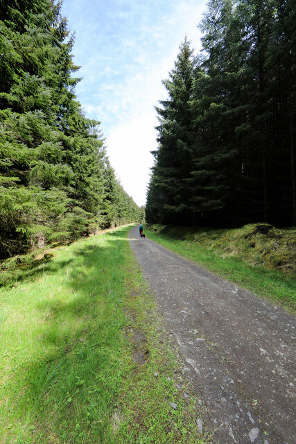
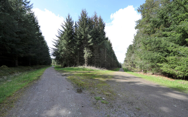
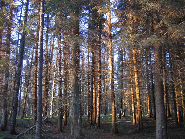
Arthurs Wood is a picturesque forest located in the heart of Northumberland, England. Spanning over 100 hectares, this woodland area is a haven for nature enthusiasts and outdoor adventurers alike. The forest is named after King Arthur, a legendary figure associated with the area, lending it a sense of historical significance.
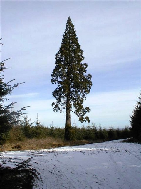
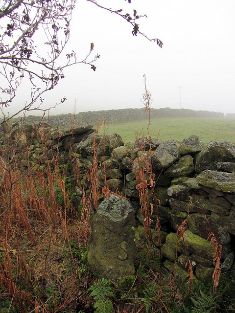
The wood is predominantly made up of ancient trees, including oak, beech, and birch, creating a diverse and vibrant ecosystem. The canopy of the forest provides shelter for a wide variety of wildlife, including deer, foxes, and an assortment of bird species. Visitors to Arthurs Wood can often spot these creatures roaming freely in their natural habitat.
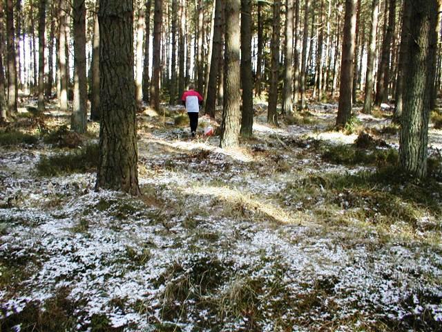
The forest offers a network of well-maintained trails and paths, making it an ideal location for walkers, hikers, and cyclists. The trails wind through the trees, offering stunning views of the surrounding countryside and providing opportunities for peaceful contemplation. There are also designated picnic areas and benches throughout the forest, allowing visitors to relax and take in the tranquility of their surroundings.
Arthurs Wood is not only a place of natural beauty but also a site of cultural interest. The legend of King Arthur is deeply ingrained in the folklore of Northumberland, and this wood is believed to be one of his favored hunting grounds. The forest's rich history and enchanting atmosphere add an extra layer of allure for those exploring its trails.
Overall, Arthurs Wood in Northumberland is a captivating woodland retreat that offers visitors a chance to immerse themselves in nature while delving into the region's folklore and history.
If you have any feedback on the listing, please let us know in the comments section below.
Arthurs Wood Images
Images are sourced within 2km of 54.896696/-2.0213148 or Grid Reference NY9855. Thanks to Geograph Open Source API. All images are credited.
Arthurs Wood is located at Grid Ref: NY9855 (Lat: 54.896696, Lng: -2.0213148)
Unitary Authority: Northumberland
Police Authority: Northumbria
What 3 Words
///crabmeat.fund.allies. Near Slaley, Northumberland
Nearby Locations
Related Wikis

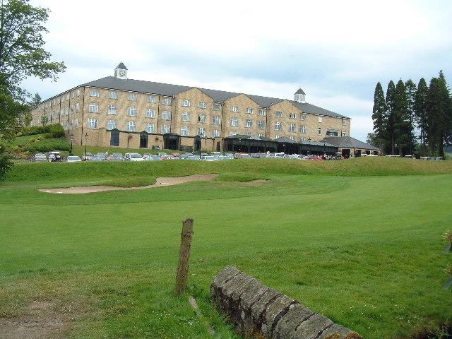
Slaley Hall
Slaley Hall is a country house golf resort in Northumberland in North East England, built by local developers Seamus O'Carroll and John Rourke which hosted...

Colpitts Grange
Colpitts Grange is a hamlet in Northumberland, England. It is about 7 miles (11 km) to the south-east of Hexham. == Governance == Colpitts Grange is in...

Slaley, Northumberland
Slaley is a village in Northumberland, England. It is situated to the southeast of Hexham. It is surrounded by the following villages: Ruffside, Whitley...

Minsteracres
Minsteracres is an 18th-century mansion house, now a Christian retreat centre, in Northumberland, England. It is a Grade II listed building.The house was...

Healey, Northumberland
Healey is a rural estate and civil parish in Northumberland, England, situated between Riding Mill to the north and Slaley to the south. The neo-Norman...

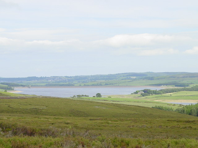
Derwent Reservoir (North East England)
The Derwent Reservoir is a reservoir on the River Derwent, on the border between County Durham and Northumberland, in England. It is west of Consett. It...

Pow Hill Bog
Pow Hill Bog is a Site of Special Scientific Interest in the Wear Valley district of County Durham, England. It lies alongside Derwent Reservoir, approximately...

Rowley Burn (Northumberland)
Rowley Burn (also known as Rowley Brook and Ham Burn, NY 9358) is a stream in Northumberland, running around three miles south of Hexham before joining...
Nearby Amenities
Located within 500m of 54.896696,-2.0213148Have you been to Arthurs Wood?
Leave your review of Arthurs Wood below (or comments, questions and feedback).