Fernylee Wood
Wood, Forest in Staffordshire Staffordshire Moorlands
England
Fernylee Wood
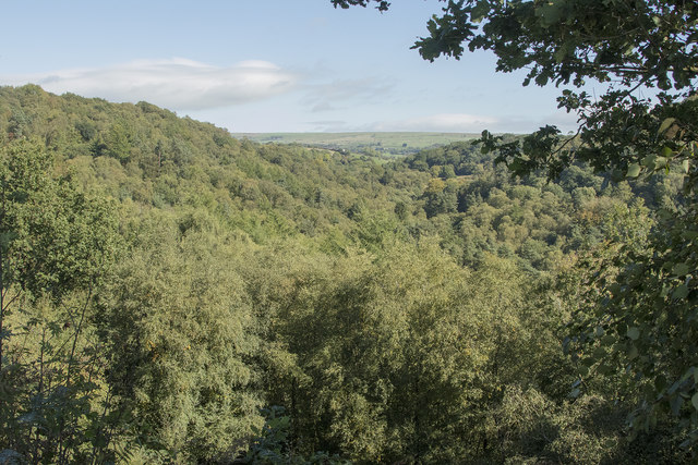
Fernylee Wood is a picturesque woodland located in Staffordshire, England. Covering an area of approximately 100 acres, this enchanting forest is a hidden gem for nature enthusiasts and outdoor lovers.
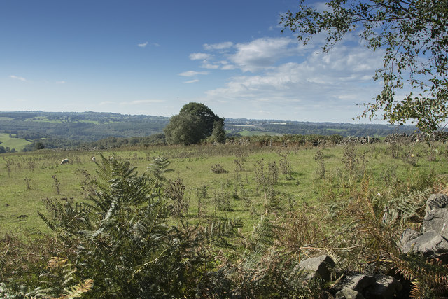
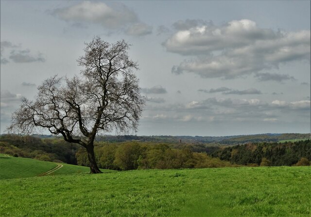
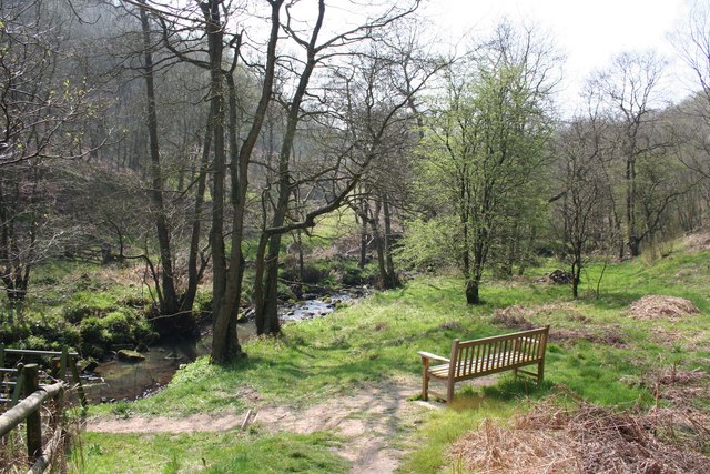
The wood is characterized by its dense canopy of ancient oak, beech, and ash trees, which provide a haven for a diverse range of flora and fauna. It is home to numerous woodland birds, including the great spotted woodpecker, tawny owl, and goldcrest. The forest floor is carpeted with bluebells and wild garlic in spring, creating a breathtaking sight for visitors.
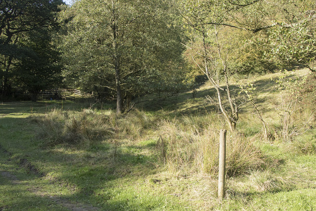
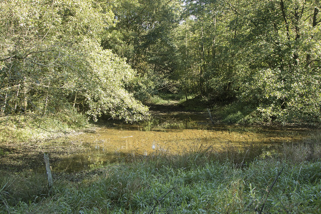
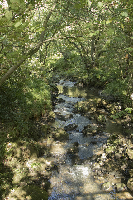
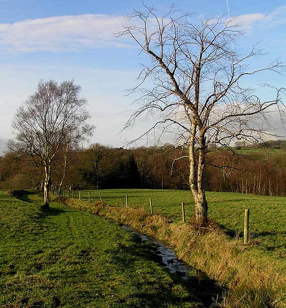
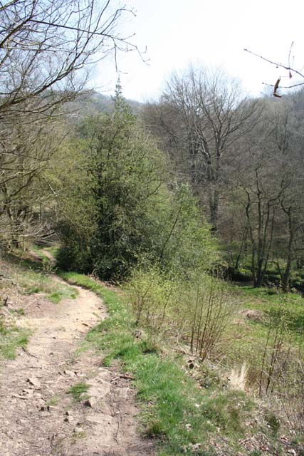
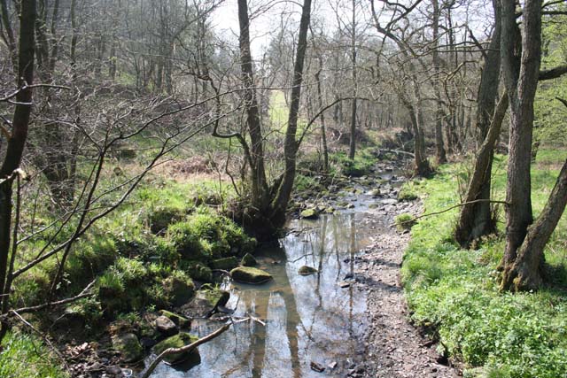
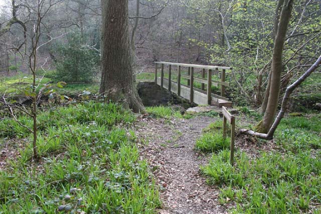
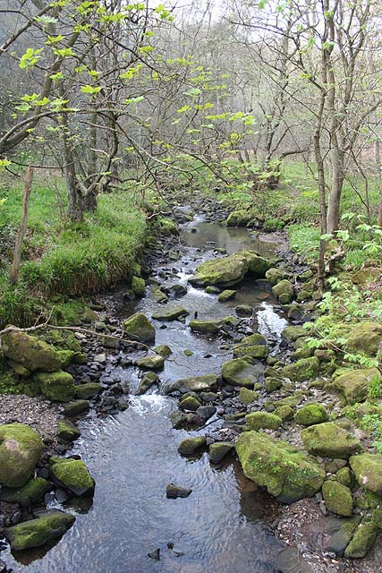
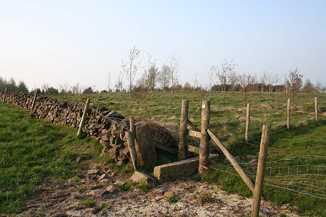
Fernylee Wood offers a range of walking trails, providing visitors with the opportunity to explore its natural beauty. The paths wind through the woodland, leading to a tranquil pond and a small stream that meanders through the heart of the forest. These water features attract an array of wildlife, including dragonflies, frogs, and even the occasional deer.
The wood is also rich in history, with remnants of an ancient stone circle and a Roman road still visible within its boundaries. These historical features add a sense of intrigue and wonder to the woodland, inviting visitors to imagine the stories that have unfolded within its leafy embrace over the centuries.
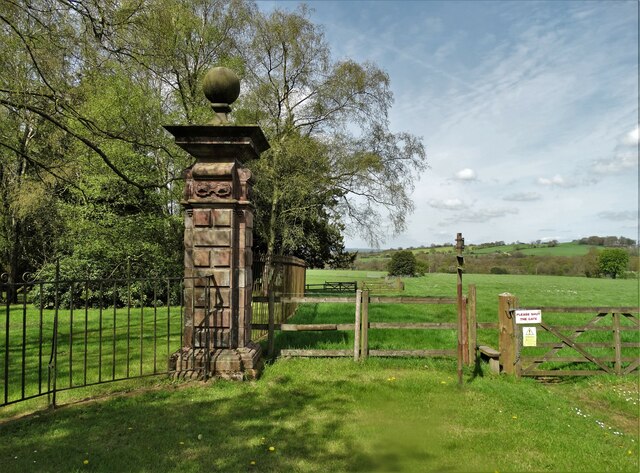
As a designated Site of Special Scientific Interest (SSSI), Fernylee Wood is carefully managed to preserve its ecological importance. The wood is open to the public year-round, allowing visitors to immerse themselves in the tranquility and beauty of this natural oasis. Whether for a leisurely stroll, birdwatching, or simply to escape the hustle and bustle of everyday life, Fernylee Wood is a perfect destination for nature enthusiasts seeking solace in the heart of Staffordshire.
If you have any feedback on the listing, please let us know in the comments section below.
Fernylee Wood Images
Images are sourced within 2km of 53.074212/-2.0203631 or Grid Reference SJ9852. Thanks to Geograph Open Source API. All images are credited.
Fernylee Wood is located at Grid Ref: SJ9852 (Lat: 53.074212, Lng: -2.0203631)
Administrative County: Staffordshire
District: Staffordshire Moorlands
Police Authority: Staffordshire
What 3 Words
///removers.boater.gent. Near Cheddleton, Staffordshire
Nearby Locations
Related Wikis

Leek Brook railway station
Leek Brook railway station is a passenger station in Staffordshire, Great Britain. == History == Leek Brook railway station was opened by the North Staffordshire...
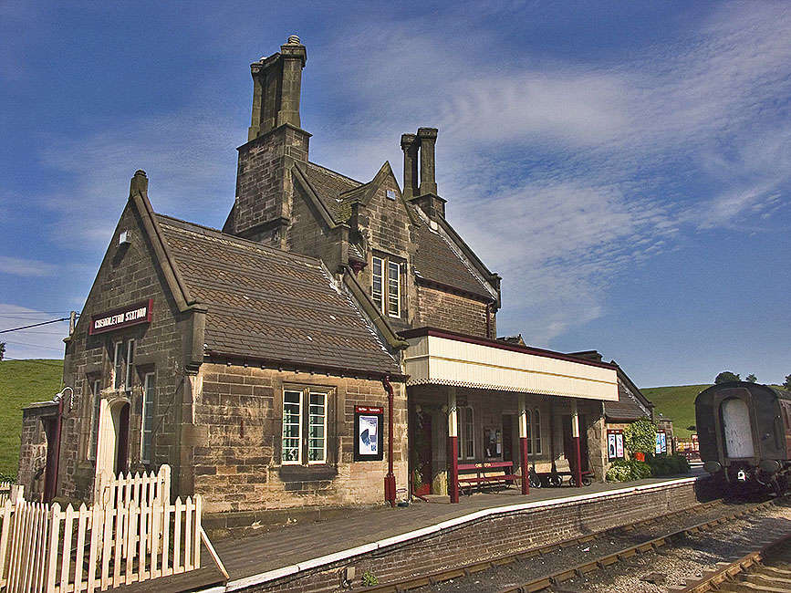
Cheddleton railway station
Cheddleton railway station is a former passenger railway station of the North Staffordshire Railway (NSR) and is now a preserved station on the Churnet...

Churnet Valley Railway
The Churnet Valley Railway is a preserved standard gauge heritage railway in the Staffordshire Moorlands of Staffordshire, England. It operates on part...

St Edwards Hospital tramway
The St Edward's Hospital tramway was a tramway built for Staffordshire County Council for the construction of the St Edward's County Mental Asylum at Cheddleton...

St Edward's Hospital
St Edward's Hospital was a mental health facility at Cheddleton in Staffordshire, England. The hospital closed in 2002 and was converted into apartments...

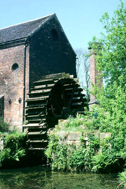
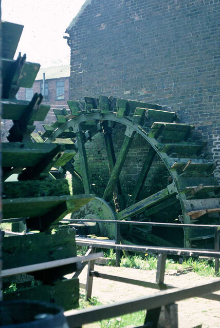
Cheddleton Flint Mill
Cheddleton Flint Mill is a water mill situated in the village of Cheddleton in the English county of Staffordshire. The mill race takes water from the...

Coombes Valley RSPB reserve
Coombes Valley RSPB reserve (grid reference SK005525) is a nature reserve, run by the RSPB, near the town of Leek in Staffordshire, England. It is best...

Cheddleton
Cheddleton is an ancient parish and village in the Staffordshire Moorlands, near to the town of Leek, England. == History == The village is divided into...
Nearby Amenities
Located within 500m of 53.074212,-2.0203631Have you been to Fernylee Wood?
Leave your review of Fernylee Wood below (or comments, questions and feedback).