Churnet Grange
Settlement in Staffordshire Staffordshire Moorlands
England
Churnet Grange
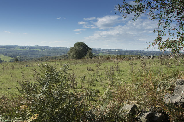
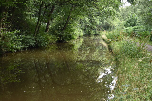
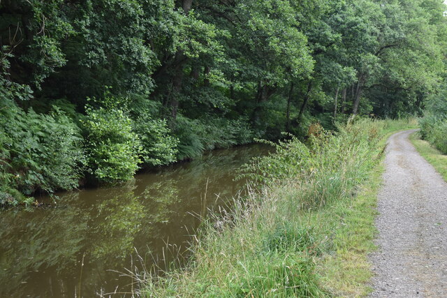
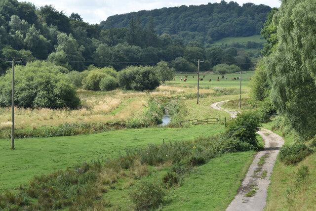
Churnet Grange is a picturesque and historic location situated in Staffordshire, England. Nestled within the stunning Churnet Valley, this area is renowned for its natural beauty and tranquil surroundings.
The centerpiece of Churnet Grange is a charming country house that dates back to the 18th century. This elegant Grade II listed building exudes character and offers a glimpse into the region's rich heritage. The house has been carefully restored and converted into a luxury hotel, providing a perfect retreat for visitors seeking a peaceful and idyllic setting.
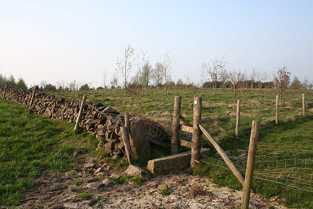
Surrounded by extensive gardens and rolling countryside, Churnet Grange offers breathtaking views of the surrounding area. The grounds are adorned with beautifully manicured lawns, vibrant flowerbeds, and ancient trees, creating a serene and inviting atmosphere.
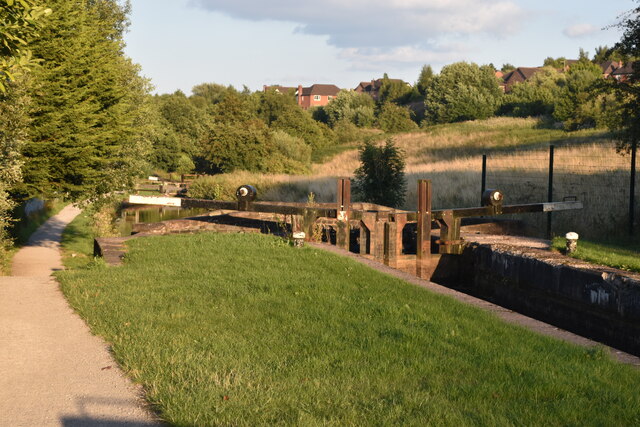
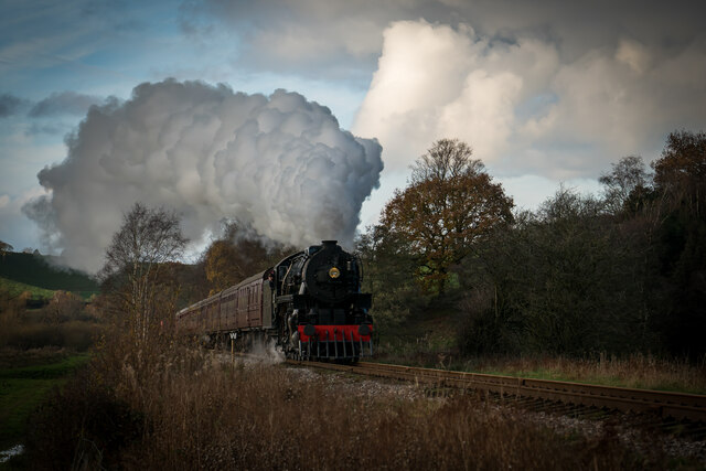
In addition to its natural beauty, Churnet Grange boasts a range of recreational activities for outdoor enthusiasts. The area is a haven for hikers and nature lovers, with numerous trails and footpaths to explore. The nearby Churnet Valley Railway provides a unique opportunity to experience a nostalgic steam train ride through the picturesque landscape.
For those interested in history and culture, Churnet Grange is ideally located near several notable attractions. The historic market town of Leek is just a short drive away, offering a wealth of heritage sites, independent shops, and traditional pubs. The magnificent Chatsworth House and Alton Towers theme park are also within easy reach, providing entertainment for all ages.
In summary, Churnet Grange is a captivating destination that seamlessly combines natural beauty, history, and relaxation. Whether you are looking for a peaceful retreat or an active outdoor adventure, this charming location in Staffordshire has something to offer everyone.
If you have any feedback on the listing, please let us know in the comments section below.
Churnet Grange Images
Images are sourced within 2km of 53.069088/-2.026682 or Grid Reference SJ9852. Thanks to Geograph Open Source API. All images are credited.
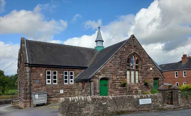
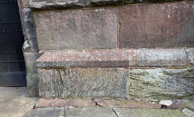
![Cheddleton, old school There is a benchmark cut into the south-east face of the old school [now a tearoom]. It is to the left of the building.](https://s3.geograph.org.uk/geophotos/07/00/51/7005111_d5b79137.jpg)
Churnet Grange is located at Grid Ref: SJ9852 (Lat: 53.069088, Lng: -2.026682)
Administrative County: Staffordshire
District: Staffordshire Moorlands
Police Authority: Staffordshire
What 3 Words
///blink.hydration.exit. Near Cheddleton, Staffordshire
Nearby Locations
Related Wikis
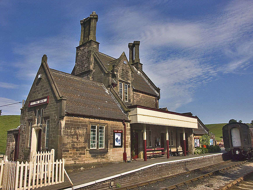
Cheddleton railway station
Cheddleton railway station is a former passenger railway station of the North Staffordshire Railway (NSR) and is now a preserved station on the Churnet...

Churnet Valley Railway
The Churnet Valley Railway is a preserved standard gauge heritage railway in the Staffordshire Moorlands of Staffordshire, England. It operates on part...

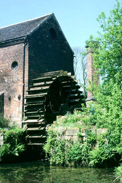
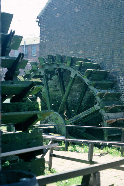
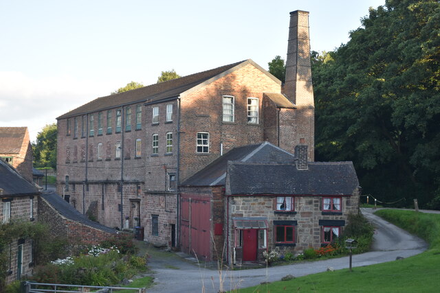
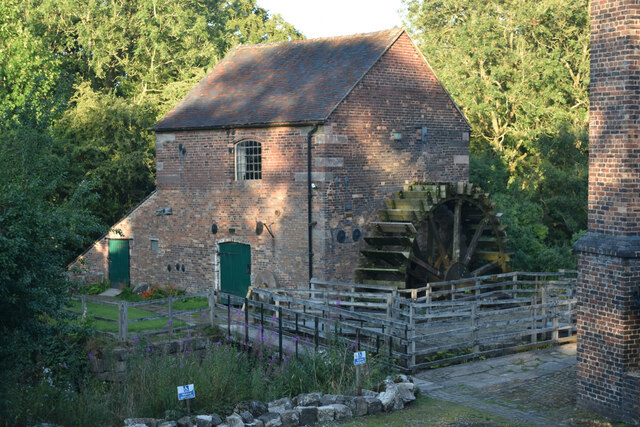
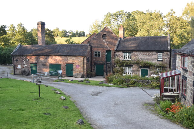
Cheddleton Flint Mill
Cheddleton Flint Mill is a water mill situated in the village of Cheddleton in the English county of Staffordshire. The mill race takes water from the...

Cheddleton
Cheddleton is an ancient parish and village in the Staffordshire Moorlands, near to the town of Leek, England. == History == The village is divided into...
Nearby Amenities
Located within 500m of 53.069088,-2.026682Have you been to Churnet Grange?
Leave your review of Churnet Grange below (or comments, questions and feedback).