Cottage Plantation
Wood, Forest in Northumberland
England
Cottage Plantation
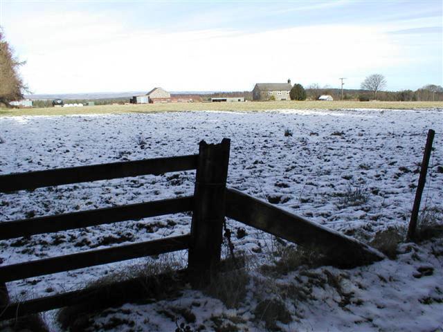
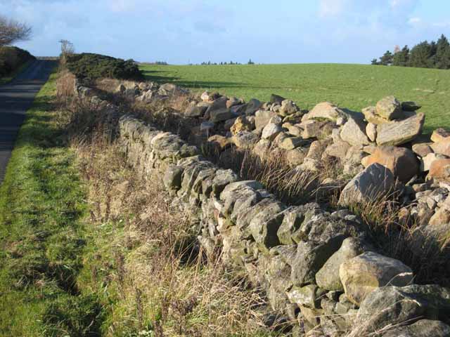
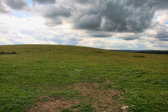
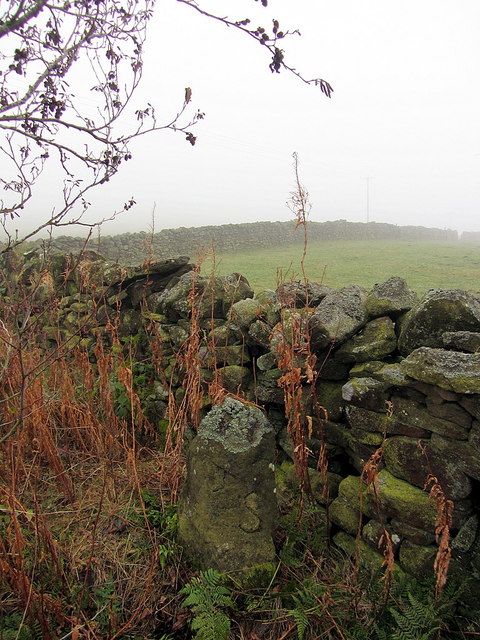
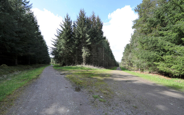
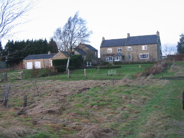
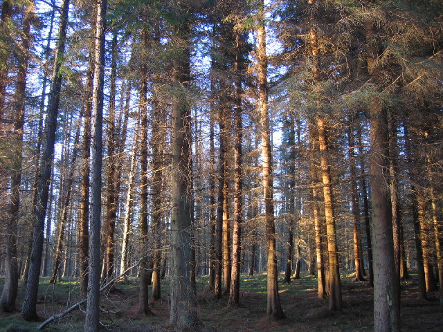
Cottage Plantation, located in Northumberland, is a picturesque woodland area that offers a serene and tranquil escape from the bustle of urban life. Spread across a vast expanse, the plantation is known for its dense forest cover, making it an ideal destination for nature enthusiasts and hikers.
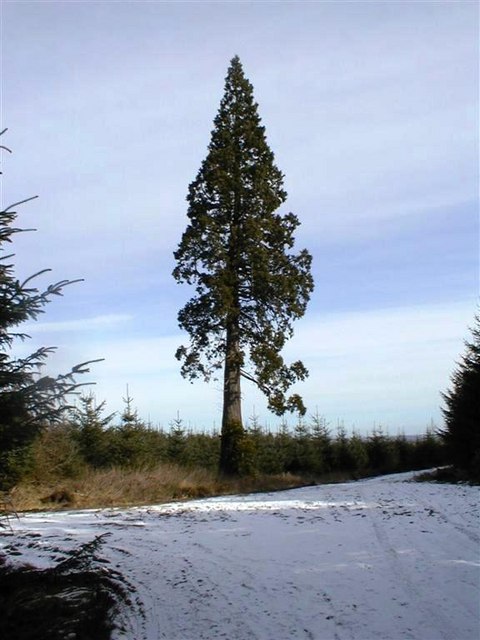
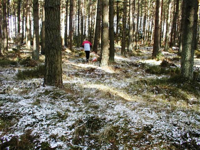
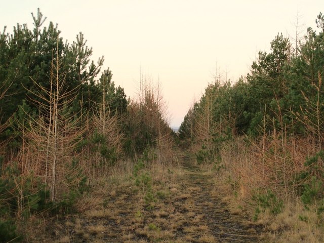
The plantation is home to a diverse range of tree species, including oak, birch, and pine, which contribute to its rich biodiversity. The lush greenery creates a soothing ambiance, with the sunlight filtering through the trees, casting dappled shadows on the forest floor. This enchanting setting provides a perfect backdrop for leisurely walks, picnics, and photography.
Furthermore, Cottage Plantation boasts several well-maintained trails that wind their way through the woodland, offering visitors the opportunity to explore its hidden gems. The trails vary in difficulty, catering to both novice and experienced hikers. Along the way, one may encounter a variety of wildlife, such as squirrels, rabbits, and a plethora of bird species, adding to the enchantment of the experience.
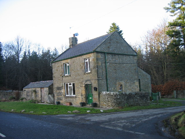
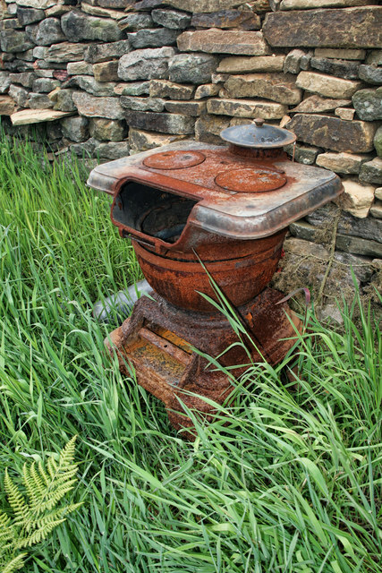
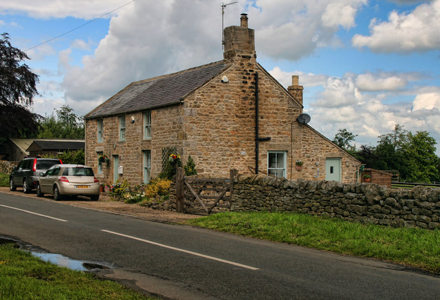
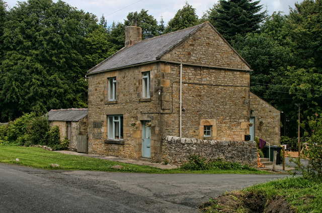
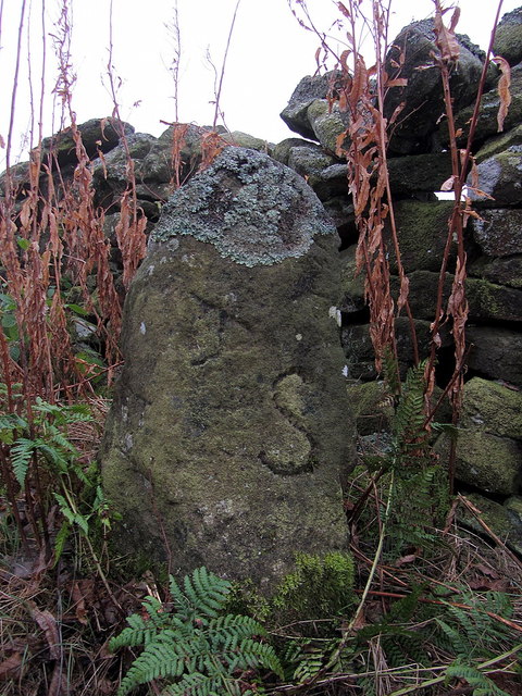
The plantation also features a charming cottage that dates back to the 18th century. The cottage, with its rustic architecture and picturesque surroundings, is a popular spot for visitors to immerse themselves in the history and charm of the area. It serves as a reminder of the plantation's historical significance, as it was once a thriving hub of agricultural activity.
Overall, Cottage Plantation in Northumberland is a hidden gem for nature lovers, offering a mesmerizing blend of lush forests, scenic trails, and a glimpse into the region's past. Whether one seeks solitude, adventure, or simply a connection with nature, this woodland sanctuary is sure to leave a lasting impression.
If you have any feedback on the listing, please let us know in the comments section below.
Cottage Plantation Images
Images are sourced within 2km of 54.898611/-2.0171369 or Grid Reference NY9855. Thanks to Geograph Open Source API. All images are credited.
Cottage Plantation is located at Grid Ref: NY9855 (Lat: 54.898611, Lng: -2.0171369)
Unitary Authority: Northumberland
Police Authority: Northumbria
What 3 Words
///panics.polices.rate. Near Slaley, Northumberland
Nearby Locations
Related Wikis

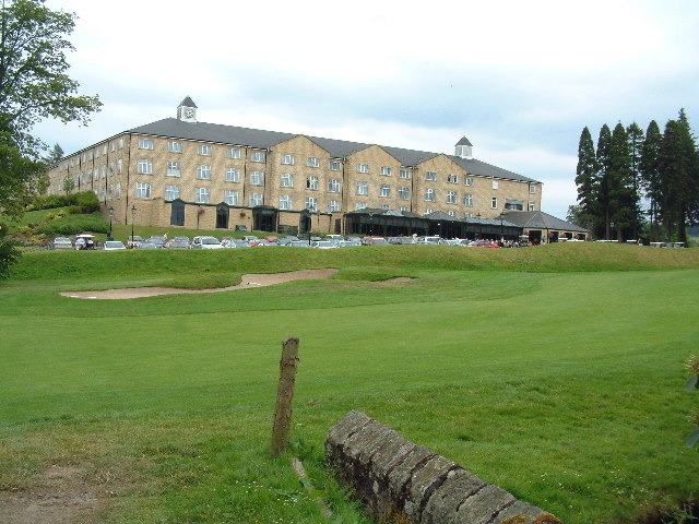
Slaley Hall
Slaley Hall is a country house golf resort in Northumberland in North East England, built by local developers Seamus O'Carroll and John Rourke which hosted...

Colpitts Grange
Colpitts Grange is a hamlet in Northumberland, England. It is about 7 miles (11 km) to the south-east of Hexham. == Governance == Colpitts Grange is in...

Slaley, Northumberland
Slaley is a village in Northumberland, England. It is situated to the southeast of Hexham. It is surrounded by the following villages: Ruffside, Whitley...

Minsteracres
Minsteracres is an 18th-century mansion house, now a Christian retreat centre, in Northumberland, England. It is a Grade II listed building.The house was...

Healey, Northumberland
Healey is a rural estate and civil parish in Northumberland, England, situated between Riding Mill to the north and Slaley to the south. The neo-Norman...

Derwent Reservoir (North East England)
The Derwent Reservoir is a reservoir on the River Derwent, on the border between County Durham and Northumberland, in England. It is west of Consett. It...

Pow Hill Bog
Pow Hill Bog is a Site of Special Scientific Interest in the Wear Valley district of County Durham, England. It lies alongside Derwent Reservoir, approximately...

Rowley Burn (Northumberland)
Rowley Burn (also known as Rowley Brook and Ham Burn, NY 9358) is a stream in Northumberland, running around three miles south of Hexham before joining...
Nearby Amenities
Located within 500m of 54.898611,-2.0171369Have you been to Cottage Plantation?
Leave your review of Cottage Plantation below (or comments, questions and feedback).