Park Plantation
Wood, Forest in Northumberland
England
Park Plantation
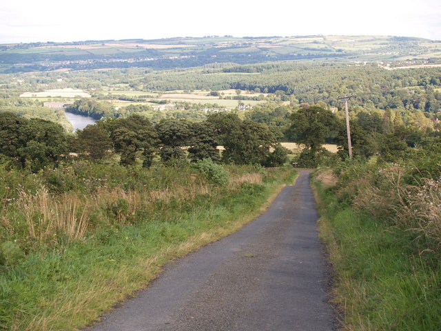
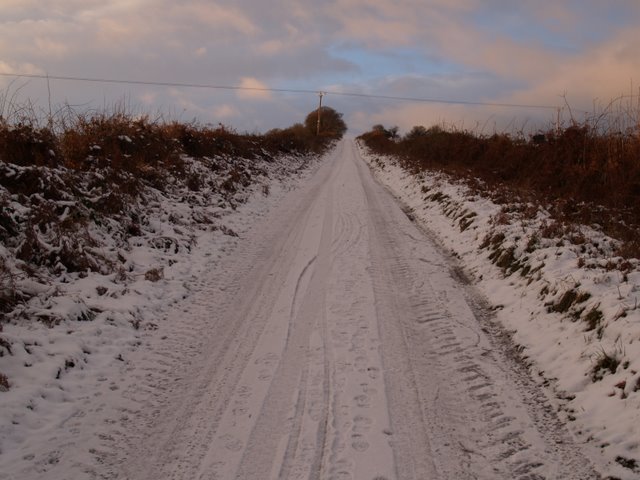
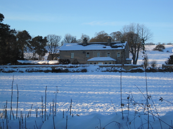
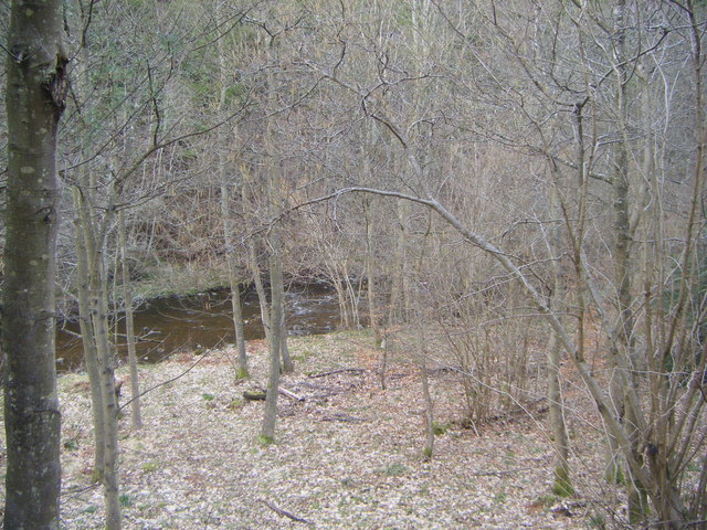
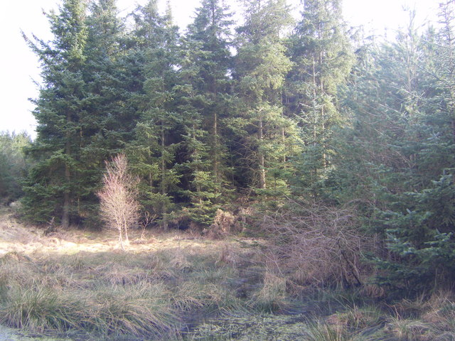
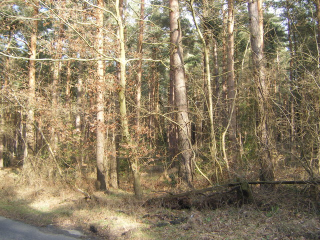
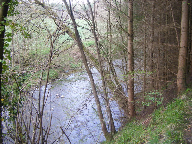
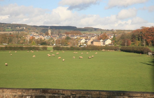
Park Plantation is a picturesque woodland area located in Northumberland, England. Covering an extensive area, it is known for its diverse range of trees and natural beauty. The plantation is situated within the larger Wood Forest, which adds to its charm and allure.
The woodland is predominantly composed of deciduous trees such as oak, beech, and ash, which create a vibrant and colorful landscape throughout the seasons. These trees provide a habitat for a variety of wildlife, including birds, squirrels, and deer, making it a popular spot for nature enthusiasts and bird watchers.
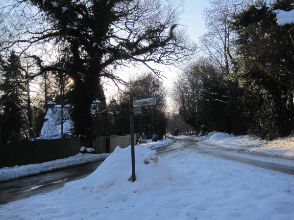
Park Plantation offers several walking trails that allow visitors to explore its enchanting surroundings. These trails wind through the woodland, offering glimpses of tranquil ponds, wildflower meadows, and ancient ruins. The paths are well-maintained, making them accessible for people of all ages and abilities.
The plantation is also home to a diverse range of flora, including bluebells, primroses, and ferns, which add to the natural beauty of the woodland. In the spring, the forest floor is carpeted with vibrant flowers, creating a stunning display.
The plantation is open to the public year-round and provides a peaceful retreat away from the hustle and bustle of city life. Whether it's a leisurely stroll, a picnic, or simply enjoying the tranquility of nature, Park Plantation offers a serene escape for visitors seeking solace in the beauty of Northumberland's woodlands.
If you have any feedback on the listing, please let us know in the comments section below.
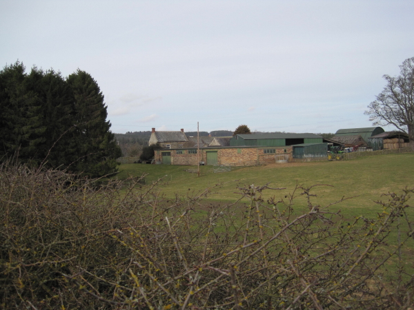
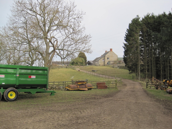
Park Plantation Images
Images are sourced within 2km of 54.950873/-2.0285415 or Grid Reference NY9861. Thanks to Geograph Open Source API. All images are credited.
Park Plantation is located at Grid Ref: NY9861 (Lat: 54.950873, Lng: -2.0285415)
Unitary Authority: Northumberland
Police Authority: Northumbria
What 3 Words
///snap.rosier.crumples. Near Corbridge, Northumberland
Nearby Locations
Related Wikis

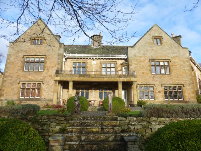
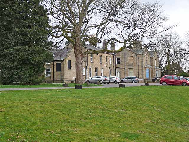
Cambian Dilston College
Cambian Dilston College is a private further education college for those with special educational needs. It is located at Dilston Hall in Corbridge in...
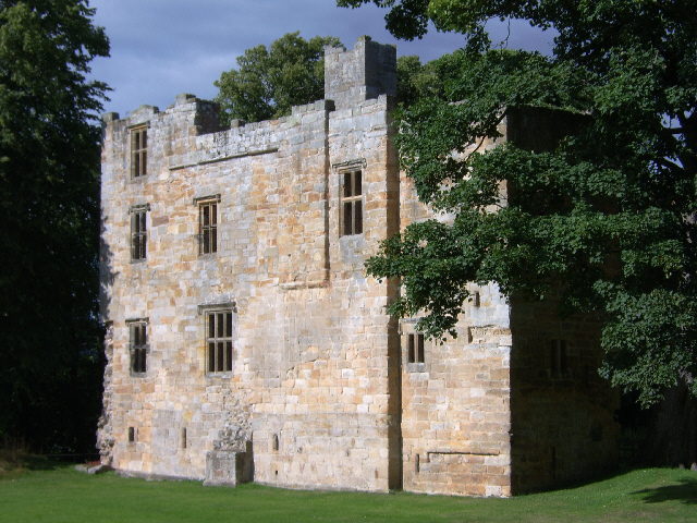
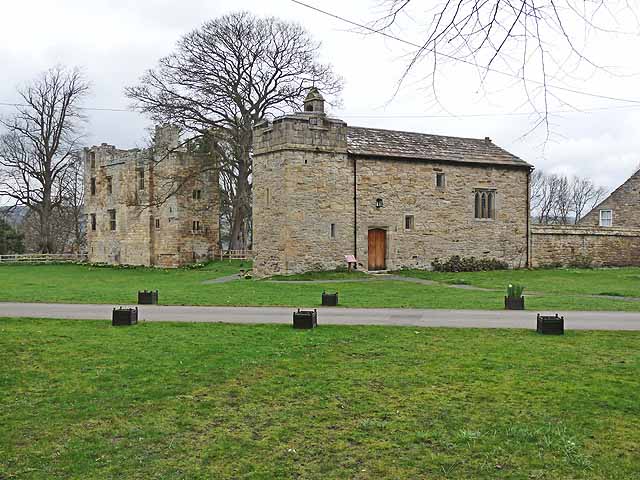
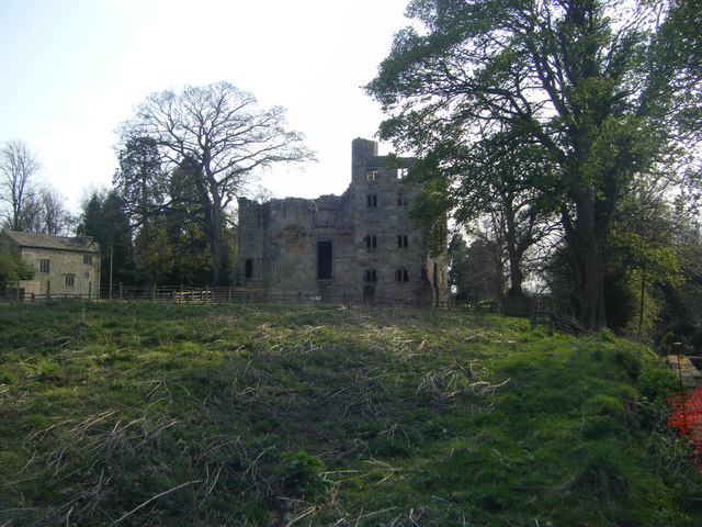
Dilston Castle
Dilston Castle is an unglazed 15th-century uninhabited tower house (and inactive Catholic chapel built for one family's services) at Dilston in the parish...

Corbridge railway station
Corbridge is a railway station on the Tyne Valley Line, which runs between Newcastle and Carlisle via Hexham. The station, situated 19 miles 15 chains...
Beauclerc
Beauclerc is a small village in Northumberland, England. It is situated to the west of Riding Mill, between Hexham and Newcastle upon Tyne. == Governance... ==

Corbridge Bridge
Corbridge Bridge is a 17th-century stone bridge across the River Tyne at Corbridge, Northumberland, England. The bridge used to carry the A68 road over...

Corbridge Vicar's Pele
Corbridge Vicar's Pele is a pele tower in the village of Corbridge, Northumberland, England. It was a three-storey defensive pele tower, with one room...
Battle of Corbridge
The Battle of Corbridge took place on the banks of the River Tyne near the village of Corbridge in Northumberland in the year 918. The battle was referenced...

Corbridge Town Hall
Corbridge Town Hall is a municipal building in Princes Street in Corbridge, Northumberland, England. The building, which is now in commercial use, is a...
Nearby Amenities
Located within 500m of 54.950873,-2.0285415Have you been to Park Plantation?
Leave your review of Park Plantation below (or comments, questions and feedback).