Kettles Wood
Wood, Forest in Worcestershire Bromsgrove
England
Kettles Wood

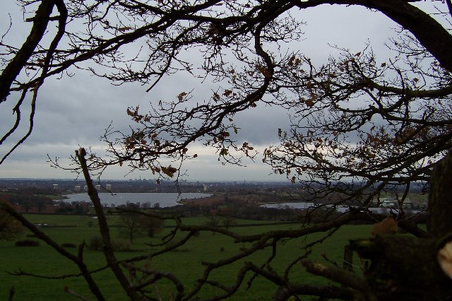
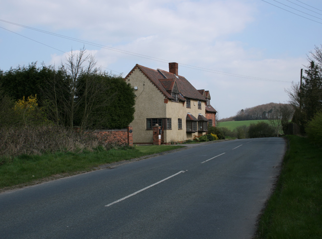
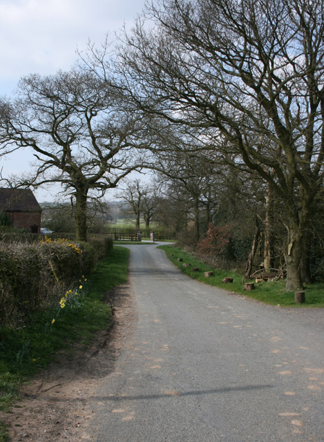
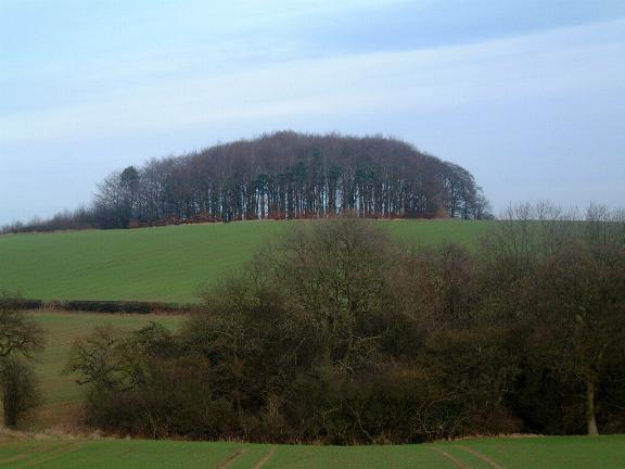
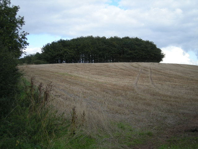
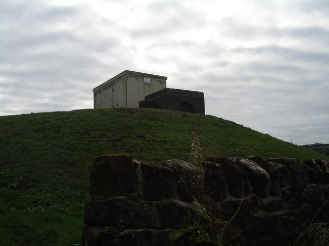
Kettles Wood is a charming woodland area located in the county of Worcestershire in England. Covering an area of approximately 100 acres, it forms part of the wider Kettles Forest, which is a designated Site of Special Scientific Interest (SSSI). The wood is situated near the village of Kington and is easily accessible by foot or by car, with ample parking available nearby.
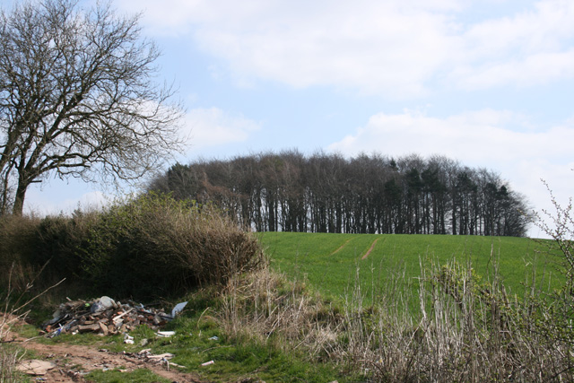
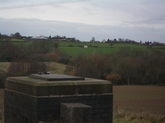
The wood is predominantly made up of broadleaf trees, such as oak, beech, and ash, interspersed with patches of dense undergrowth. It is a haven for a diverse range of flora and fauna, providing habitat for numerous species of birds, mammals, and insects. Visitors to Kettles Wood can enjoy a peaceful and tranquil environment, perfect for nature walks and wildlife spotting.
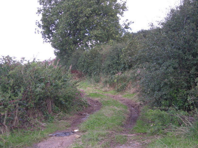
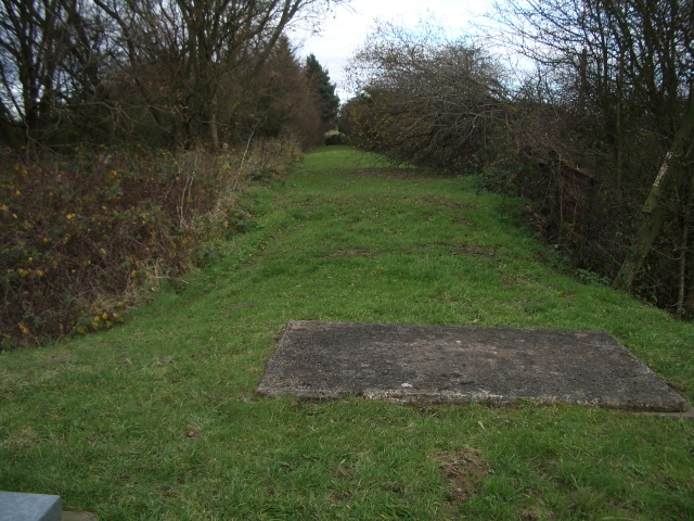
The wood is crisscrossed by a network of well-maintained footpaths, allowing visitors to explore and discover its hidden treasures. There are also several picnic areas and benches strategically placed throughout the wood, providing opportunities for visitors to relax and enjoy the natural surroundings.
Kettles Wood is managed by the Worcestershire Wildlife Trust, who work tirelessly to preserve its unique ecosystem and promote biodiversity. The Trust organizes regular events and guided walks, allowing visitors to learn more about the wood's history, wildlife, and conservation efforts.
Overall, Kettles Wood is a beautiful natural gem within Worcestershire, offering visitors a chance to immerse themselves in the tranquility of nature and discover the wonders of the woodland ecosystem.
If you have any feedback on the listing, please let us know in the comments section below.
Kettles Wood Images
Images are sourced within 2km of 52.425066/-2.0268234 or Grid Reference SO9880. Thanks to Geograph Open Source API. All images are credited.


Kettles Wood is located at Grid Ref: SO9880 (Lat: 52.425066, Lng: -2.0268234)
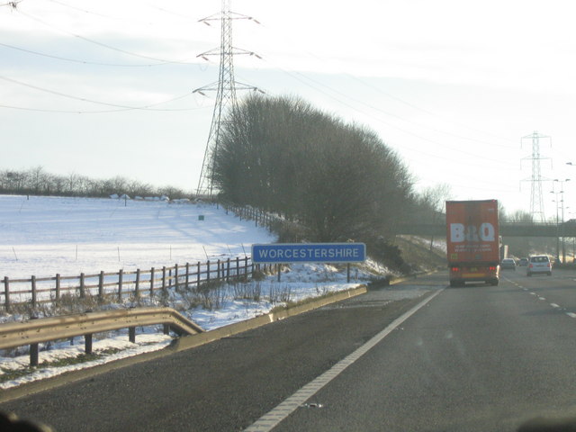
Administrative County: Worcestershire
District: Bromsgrove
Police Authority: West Mercia
What 3 Words
///medium.card.care. Near Romsley, Worcestershire
Nearby Locations
Related Wikis

Illey Pastures
Illey Pastures is a 3.5-hectare (8.6-acre) biological site of Special Scientific Interest in the West Midlands. The site was notified in 1989 under the...
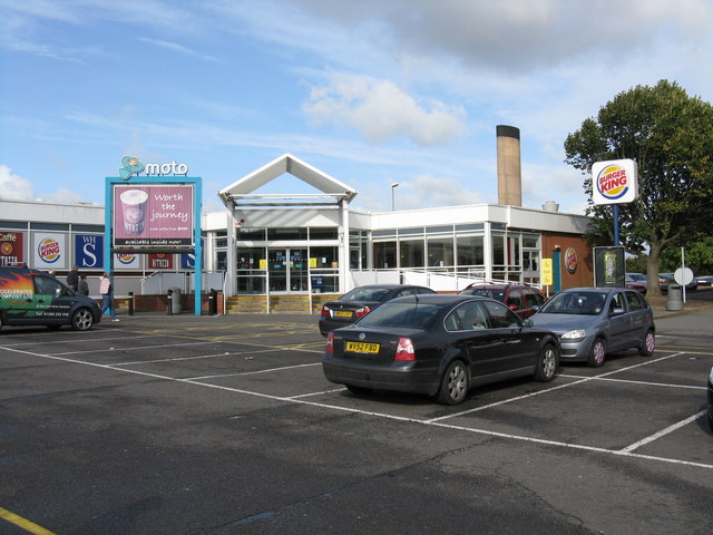
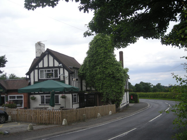
Frankley services
Frankley services is a motorway service station on the M5 motorway between Junctions 3 (A456, Quinton Interchange) and 4 (A38, Lydiate Ash), near Birmingham...
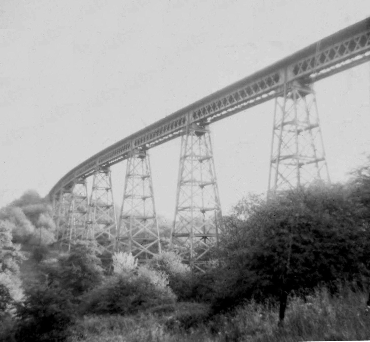
Dowery Dell Viaduct
Dowery Dell, between Rubery and Halesowen in Worcestershire, was a 234 yards (214 m), nine span lattice steel, single-track railway viaduct that carried...
Illey
Illey is a hamlet south of Halesowen in the Dudley district, in the county of the West Midlands, England. == History == Illey was historically a township...

Hunnington railway station
Hunnington railway station was a railway station in the village of Hunnington, near Halesowen, England, on the Great Western Railway & Midland Railway...
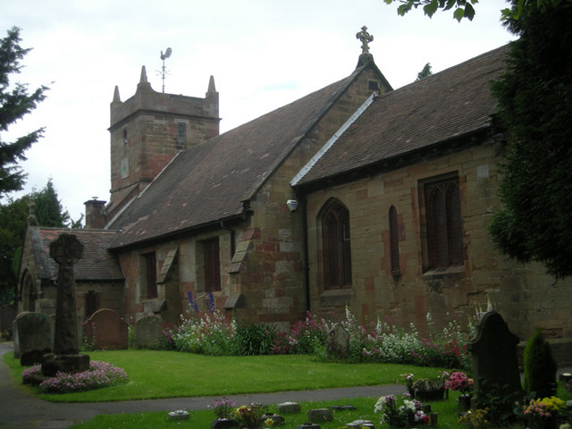
St Leonard's Church, Frankley
St Leonard's Church, Frankley is a Grade II* listed parish church in the Church of England in Frankley, Worcestershire. == History == The church dates...

Hunnington
Hunnington is a village and civil parish in the Bromsgrove District of Worcestershire, England, close to the border with West Midlands, and just south...
King Edward VI Five Ways School
King Edward VI Five Ways (KEFW) is a selective co-educational state grammar school for ages 11–18 in Bartley Green, Birmingham, United Kingdom. One of...
Have you been to Kettles Wood?
Leave your review of Kettles Wood below (or comments, questions and feedback).