Roakham Hill Copse
Wood, Forest in Wiltshire
England
Roakham Hill Copse
Roakham Hill Copse is a picturesque woodland located in Wiltshire, England. Spanning an area of approximately 50 acres, the copse is characterized by its diverse range of tree species, making it a haven for nature enthusiasts and hikers alike.
The copse is primarily comprised of broadleaf trees, including oak, beech, and ash, which create a dense canopy overhead. These trees provide a cool and shaded environment, particularly during the summer months. The forest floor is covered in a vibrant carpet of wildflowers, such as bluebells and primroses, adding to the copse's natural beauty.
Several well-maintained trails wind their way through Roakham Hill Copse, allowing visitors to explore its hidden treasures. These paths offer stunning views of the surrounding countryside and provide opportunities to spot various wildlife, including deer, squirrels, and a wide array of bird species.
The copse also features a small stream that meanders through its heart, adding to the tranquility and providing a watering hole for the local fauna. This stream is often lined with moss-covered rocks and fallen logs, creating a picturesque scene that invites photographers and nature enthusiasts to capture its beauty.
Roakham Hill Copse is a popular destination for local residents and tourists alike, offering a peaceful escape from the hustle and bustle of everyday life. Whether it be for a leisurely stroll, a picnic, or simply a moment of solitude surrounded by nature, this woodland provides a serene and enchanting experience for all who visit.
If you have any feedback on the listing, please let us know in the comments section below.
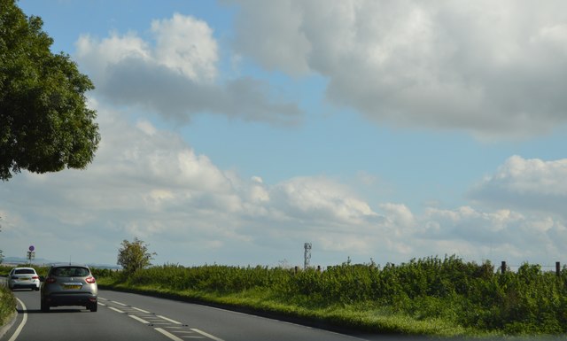
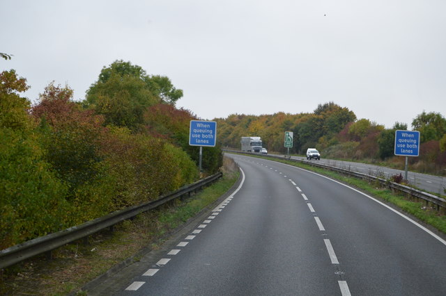
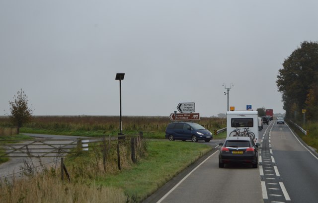
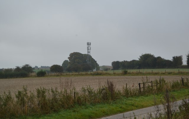
Roakham Hill Copse Images
Images are sourced within 2km of 51.127345/-2.0260288 or Grid Reference ST9836. Thanks to Geograph Open Source API. All images are credited.


Roakham Hill Copse is located at Grid Ref: ST9836 (Lat: 51.127345, Lng: -2.0260288)
Unitary Authority: Wiltshire
Police Authority: Wiltshire
What 3 Words
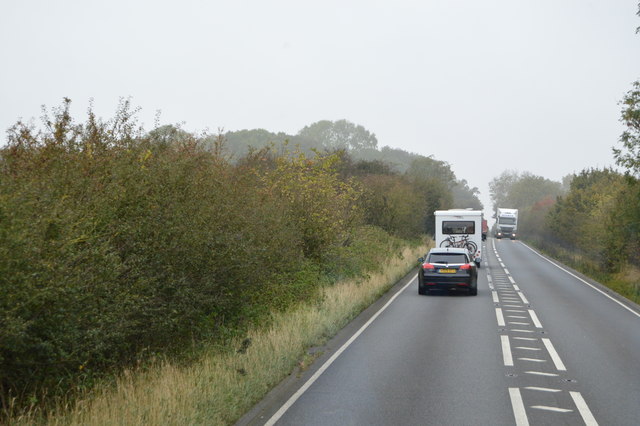
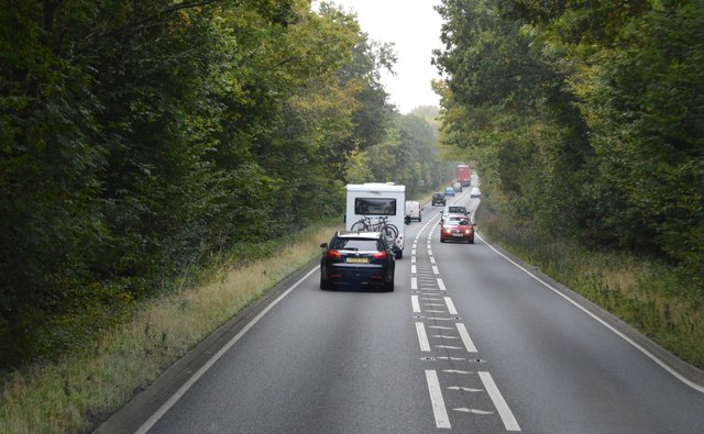
///kilowatt.even.denoting. Near Stockton, Wiltshire
Nearby Locations
Related Wikis
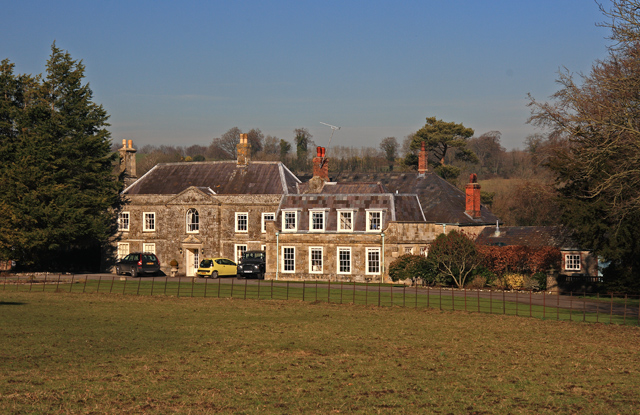
Bapton
Bapton is a hamlet in Wiltshire, England, in the civil parish of Stockton. It lies south of the A36 and the River Wylye, on the minor road which follows...
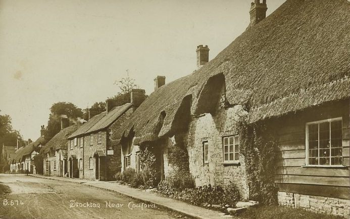
Stockton, Wiltshire
Stockton is a small village and civil parish in the Wylye Valley in Wiltshire, England, about 8 miles (13 km) southeast of Warminster. The parish includes...

Wylye and Church Dean Downs
Wylye and Church Dean Downs (grid reference SU002361) is an 80.9 hectare biological Site of Special Scientific Interest in Wiltshire, England, notified...

West Wiltshire Downs
The West Wiltshire Downs is an area of downland in the west of the county of Wiltshire, England. The West Wiltshire Downs are geologically the same unit...

Stockton Wood and Down
Stockton Wood and Down (grid reference ST958366) is a 61.5 hectare biological Site of Special Scientific Interest in the southwest of Stockton parish in...
Fisherton de la Mere
Fisherton de la Mere, also spelt Fisherton Delamere, is a small village and former civil parish, now in the parish of Wylye, on the River Wylye, Wiltshire...
Wylye railway station
Wylye railway station is a former railway station in Wylye, Wiltshire, UK, in the Wylye Valley. The station name was spelled "Wiley" by the GWR until 1874...

St Nicholas's Church, Fisherton Delamere
St Nicholas's Church in Fisherton Delamere, Wiltshire, England, was built in the 14th century. It is recorded in the National Heritage List for England...
Have you been to Roakham Hill Copse?
Leave your review of Roakham Hill Copse below (or comments, questions and feedback).