Great Wood
Wood, Forest in Cheshire
England
Great Wood
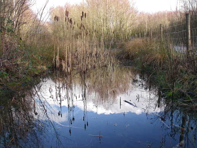
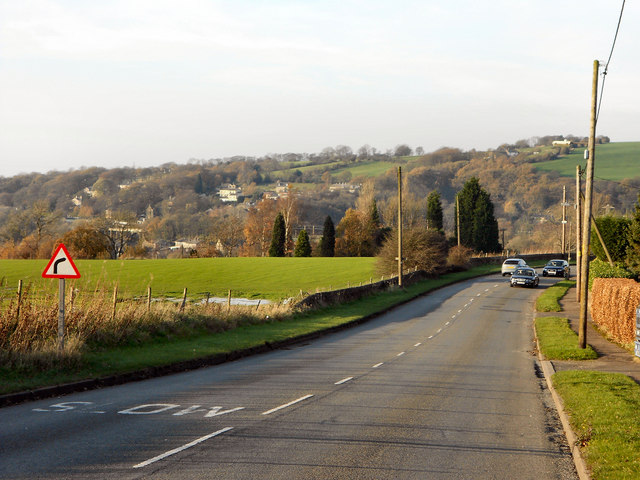
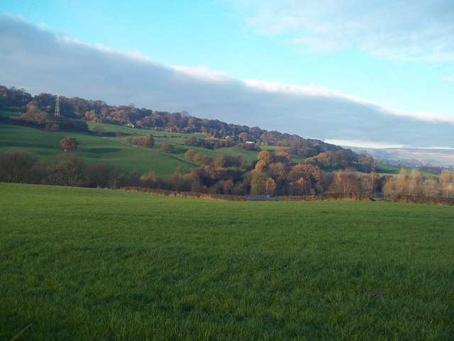
Great Wood, located in Cheshire, England, is a picturesque forest that covers a vast area of approximately 2,000 acres. This woodland, often referred to as Great Wood Forest, is renowned for its natural beauty and rich biodiversity. It is situated near the village of Frodsham, just a few miles away from the bustling city of Chester.
Great Wood is primarily composed of deciduous trees, including oak, ash, birch, and beech, which create a dense canopy that provides shelter to a wide range of flora and fauna. The forest floor is adorned with a carpet of bluebells during spring, creating a stunning sight for visitors.
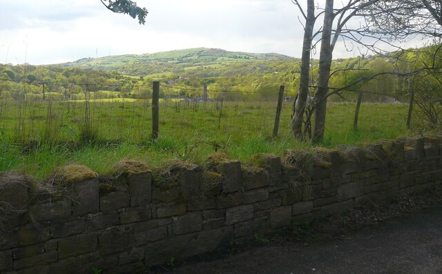
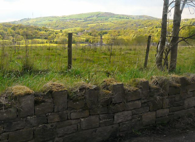
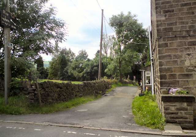
The woodland also features several well-maintained footpaths and trails, making it a popular destination for outdoor enthusiasts. These paths offer opportunities for leisurely walks, jogging, and cycling, allowing visitors to immerse themselves in the tranquil surroundings. Along the way, one can encounter various wildlife species such as deer, foxes, badgers, and a multitude of bird species.
Great Wood is not only a haven for nature lovers but also an important ecological site. It supports a diverse ecosystem and acts as a crucial habitat for numerous species of animals and plants, some of which are rare and protected. Conservation efforts are regularly undertaken to maintain the ecological balance and preserve the natural beauty of this woodland.
With its serene ambiance, stunning landscapes, and abundant wildlife, Great Wood, Cheshire, is a captivating destination for individuals seeking solace in nature or wishing to explore the wonders of a thriving forest ecosystem.
If you have any feedback on the listing, please let us know in the comments section below.
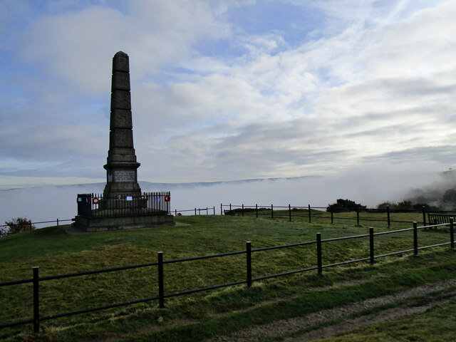
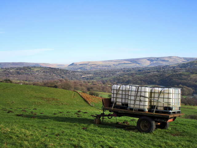
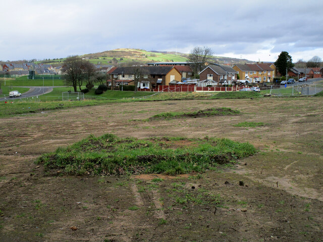
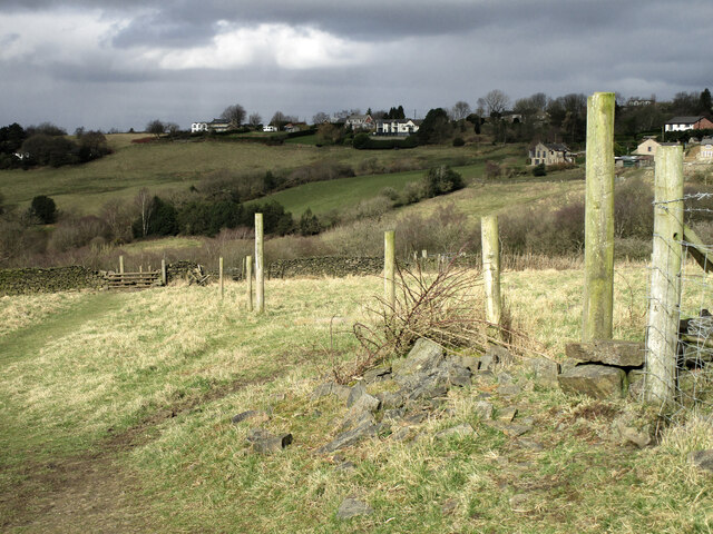
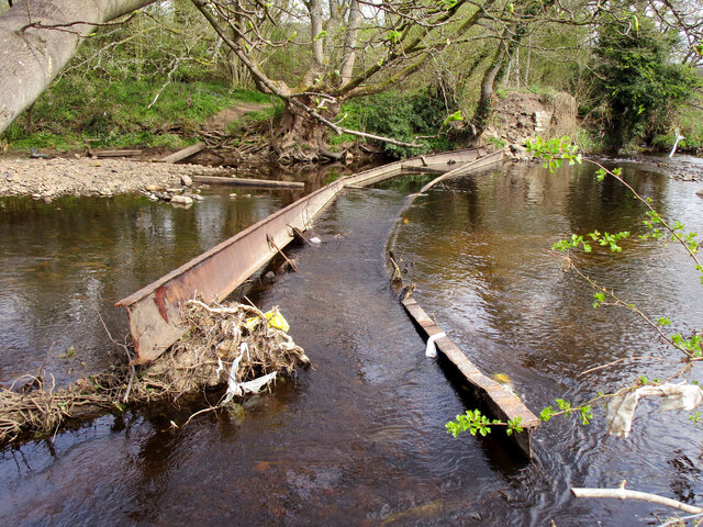
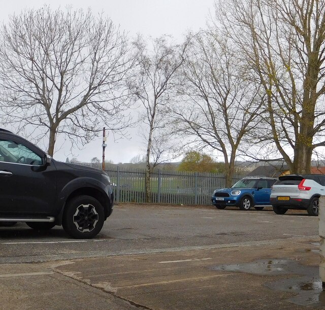
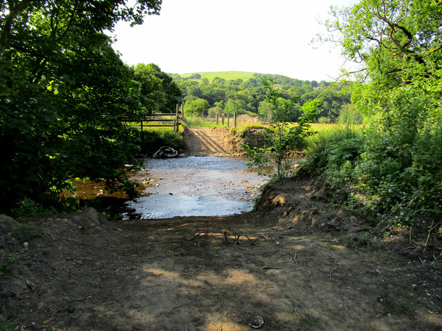
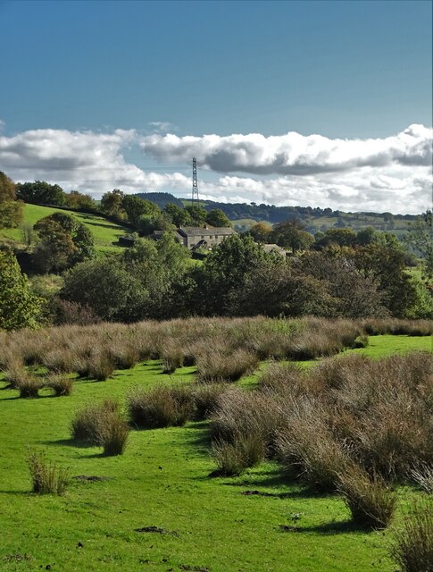
Great Wood Images
Images are sourced within 2km of 53.439271/-2.0273738 or Grid Reference SJ9893. Thanks to Geograph Open Source API. All images are credited.
Great Wood is located at Grid Ref: SJ9893 (Lat: 53.439271, Lng: -2.0273738)
Unitary Authority: Tameside
Police Authority: Greater Manchester
What 3 Words
///driveway.whimpered.vital. Near Longdendale, Manchester
Nearby Locations
Related Wikis

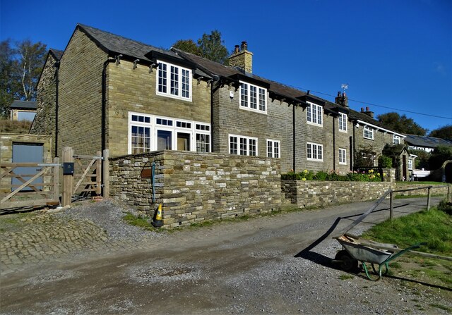
Broadbottom
Broadbottom is a village in Tameside, Greater Manchester, England. Historically in Cheshire, it stands on the River Etherow which forms the border with...

Broadbottom railway station
Broadbottom railway station serves the village of Broadbottom in Greater Manchester, England. It is on the Manchester-Glossop Line, 10 miles (16 km) east...

Hattersley
Hattersley is an area of Tameside, Greater Manchester, England; it is located 4 miles (6.4 km) west of Glossop and 10 miles (16 km) east of Manchester...

Hattersley railway station
Hattersley railway station serves the Hattersley housing estate in Tameside, Greater Manchester, England. The station is 9 miles (14 km) east of Manchester...
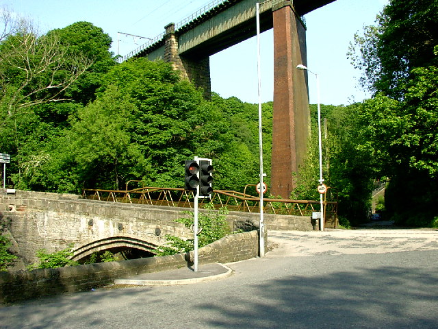
Broadbottom Viaduct
Broadbottom Viaduct (also known as Etherow or Mottram Viaduct) is a railway viaduct that spans the River Etherow between Derbyshire and Greater Manchester...

Chisworth
Chisworth is a hamlet near Glossop, Derbyshire, England. It is 3 miles (4.8 km) south-west of Glossop town centre, on the south side of the Etherow valley...

Godley East railway station
Godley East was a railway station in the Godley area of Hyde, Tameside, Greater Manchester, on the Woodhead Line. == Early history == On 17 November 1841...

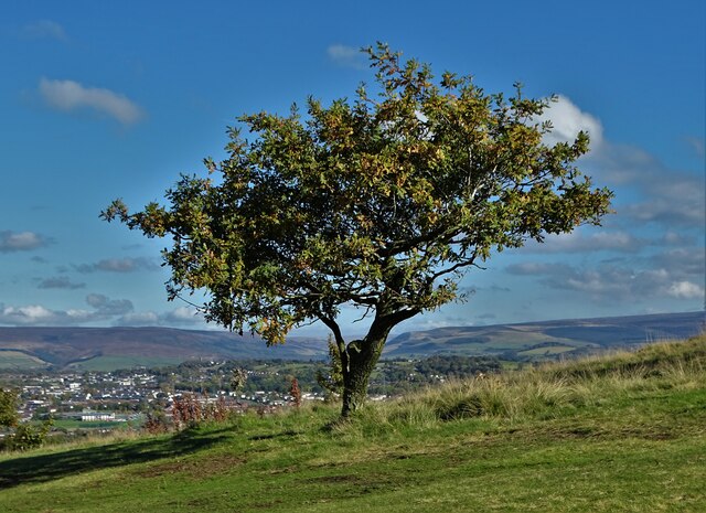
Werneth Low
Werneth Low (; WUR-nəth) is a hill in Greater Manchester, England, and a part of the Pennines. It is located on the borders of Stockport and Tameside...
Related Videos

Pony in a pond! - #hiking #nature #pony #horse #walking #warrenofwalks
I saw a pony in a pond on a walk over Werneth Low today. It lightened my mood, so here it is for everyone else.
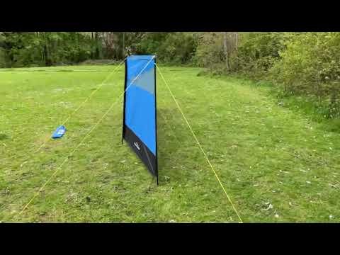
Adventureridge,4 pole windbreak
Easy to set up folds into carry bag for easy storage and transport PVC windows in each section 4x fiberglass poles Guy ropes ...

Werneth Low
Join us on a stroll around one of Greater Manchester's most beautiful locations, Werneth Low. Stunning views with lots of history ...

Werneth Low - making a brew with a view
I decided to try out my new Trangia kettle for the first time ever - it was still wrapped in the box - so I could have a brew with a view ...
Nearby Amenities
Located within 500m of 53.439271,-2.0273738Have you been to Great Wood?
Leave your review of Great Wood below (or comments, questions and feedback).