Hodgefold

Settlement in Cheshire

England

Hodgefold

Gamesley Woodlands (wildlife pond) Gamesley Woodlands runs alongside the Manchester to Glossop rail line, it was originally railway sidings which formed part of the Mottram and Dinting Marshalling Yard. When the sidings closed pioneer tree species appeared, recently a bridleway has been laid and this pond constructed for the benefit of the public.
Gamesley Woodlands (wildlife pond) Credit: Stephen Burton

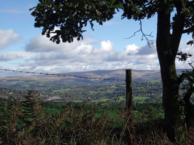
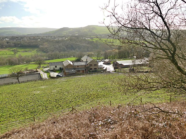
Hodgefold is a small village located in the county of Cheshire, England. Situated in the rural countryside, it offers a peaceful and picturesque setting for its residents. The village is nestled amidst rolling hills and is surrounded by lush green fields, creating a charming and idyllic atmosphere.

With a population of around 500 people, Hodgefold maintains a close-knit community feel. The village is known for its friendly and welcoming ambiance, where neighbors often greet each other with a smile. The local community takes pride in organizing various events and activities throughout the year, fostering a sense of togetherness.

One of the notable landmarks in Hodgefold is St. Mary's Church, a beautiful medieval structure that dates back to the 12th century. The church serves as a symbol of the village's rich history and architectural heritage.

Hodgefold offers a range of amenities to its residents, including a primary school, a village hall, and a few local shops catering to daily needs. For more extensive shopping and entertainment options, residents can easily access nearby towns and cities.

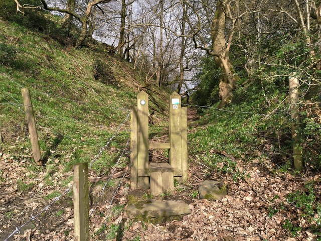
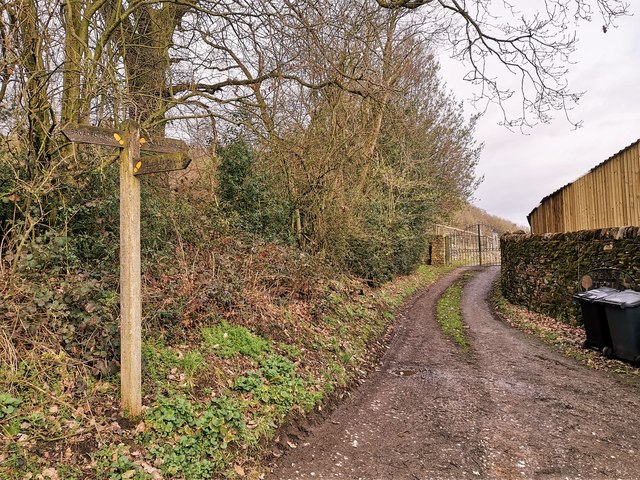
The surrounding countryside provides ample opportunities for outdoor activities such as hiking, cycling, and horse riding. The village is well-connected to the wider region via a network of roads, making it convenient for residents to explore the surrounding areas.

In summary, Hodgefold is a charming and close-knit village in Cheshire, offering a peaceful and rural lifestyle. With its beautiful landscapes, strong sense of community, and convenient amenities, it is an ideal place for those seeking a tranquil countryside retreat.

If you have any feedback on the listing, please let us know in the comments section below.
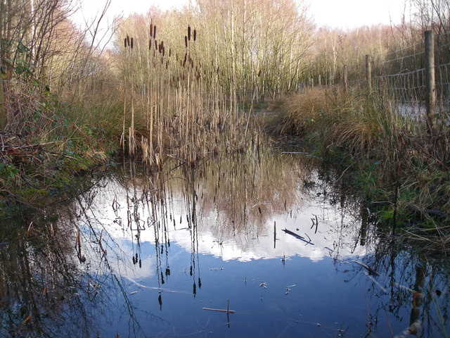
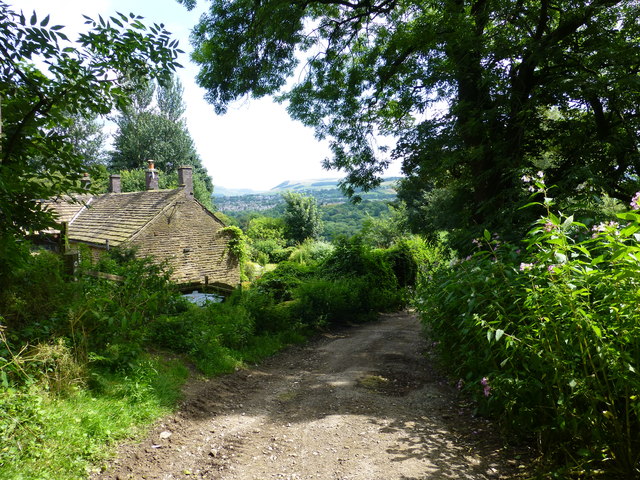
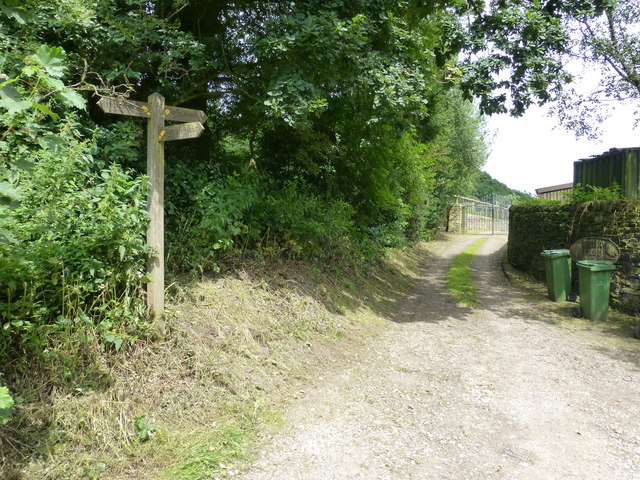
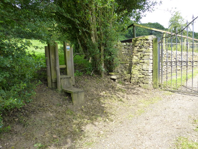
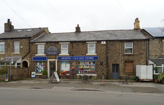
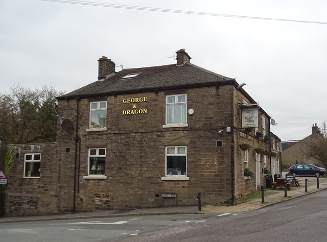
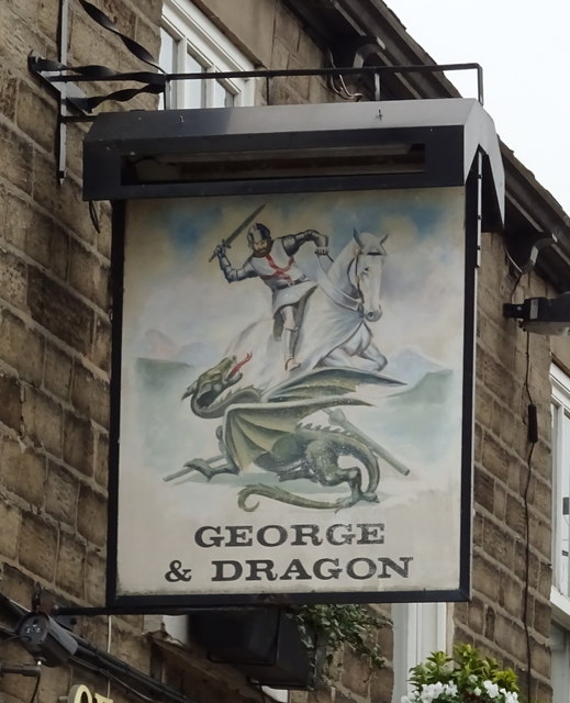
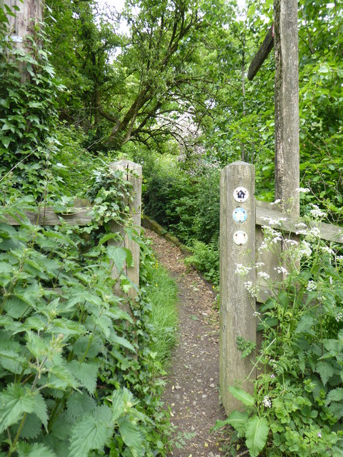
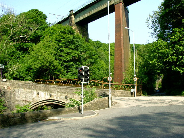
Hodgefold Images

Images are sourced within 2km of 53.437547/-2.020289 or Grid Reference SJ9893. Thanks to Geograph Open Source API. All images are credited.

Gamesley Woodlands (wildlife pond) Gamesley Woodlands runs alongside the Manchester to Glossop rail line, it was originally railway sidings which formed part of the Mottram and Dinting Marshalling Yard. When the sidings closed pioneer tree species appeared, recently a bridleway has been laid and this pond constructed for the benefit of the public.
Gamesley Woodlands (wildlife pond)
Gamesley Woodlands runs alongside the Manchester to Glossop rail line, it was originally railway sidings which formed part of the Mottram and Dinting Marshalling Yard. When the sidings closed pioneer tree species appeared, recently a bridleway has been laid and this pond constructed for the benefit of the public.
Hidden signpost near Pear Tree Farm The marker for the Etherow Goyt Valley Trail is on the left leading up stone steps. a large fingerpost is out of view marked Valley Way. The area is also marked on the map as The Hague, the manor house of this name is half a mile away.
Hidden signpost near Pear Tree Farm
The marker for the Etherow Goyt Valley Trail is on the left leading up stone steps. a large fingerpost is out of view marked Valley Way. The area is also marked on the map as The Hague, the manor house of this name is half a mile away.
Fingerpost at The Hague The way straight on towards the gate leads onto the path towards Woolley Bridge.
Fingerpost at The Hague
The way straight on towards the gate leads onto the path towards Woolley Bridge.
Parting of the ways at Pear Tree Farm The stole on the left leads onto the path for Mottram .The hidden unmarked bridleway for Woolley Bridge is beside the stone pillar next to the gate for Pear Tree Farm.
Parting of the ways at Pear Tree Farm
The stole on the left leads onto the path for Mottram .The hidden unmarked bridleway for Woolley Bridge is beside the stone pillar next to the gate for Pear Tree Farm.
View from Beacon Lane View from Beacon Lane looking over the River Etherow valley with the hills of the Dark Peak in the distance.
View from Beacon Lane
View from Beacon Lane looking over the River Etherow valley with the hills of the Dark Peak in the distance.
Looking over the Etherow Valley On a public footpath from Mottram
Looking over the Etherow Valley
On a public footpath from Mottram
Stile on path from Gamesley to Mottram On an old hollow way from the hamlet of The Hague up to Mottram
Stile on path from Gamesley to Mottram
On an old hollow way from the hamlet of The Hague up to Mottram
Paths for Broadbottom, Woolley Bridge and Melandra Castle
Dysons Village Store, Charlesworth, Glossop On Marple Road (A626).
Dysons Village Store, Charlesworth, Glossop
On Marple Road (A626).
Stone built cottages on Marple Road (A626)
Marple Road (A626), Charlesworth, Glossop Looking north east.
Marple Road (A626), Charlesworth, Glossop
Looking north east.
The George & Dragon, Charlesworth On Glossop Road.
The George & Dragon, Charlesworth
On Glossop Road.
Sign for the George & Dragon, Charlesworth See <a href="https://www.geograph.org.uk/photo/6093607">SK0092 : The George & Dragon, Charlesworth</a> for contrast.
Sign for the George & Dragon, Charlesworth
War Memorial, Charlesworth At the junction of Glossop Road and Town Lane.
War Memorial, Charlesworth
At the junction of Glossop Road and Town Lane.
K6 telephone box, Charlesworth Seems to be still operational.
K6 telephone box, Charlesworth
Seems to be still operational.
The Pennine Bridleway interim route near The Hague
The Grey Mare The Grey Mare public house, now a domestic dwelling.
The Grey Mare
The Grey Mare public house, now a domestic dwelling.
Show me another place!

Hodgefold is located at Grid Ref: SJ9893 (Lat: 53.437547, Lng: -2.020289)

Unitary Authority: Tameside

Police Authority: Greater Manchester

What 3 Words

///situates.appealing.clock. Near Longdendale, Manchester

Related Wikis

Broadbottom railway station

Broadbottom railway station serves the village of Broadbottom in Greater Manchester, England. It is on the Manchester-Glossop Line, 10 miles (16 km) east...

Broadbottom

Broadbottom is a village in Tameside, Greater Manchester, England. Historically in Cheshire, it stands on the River Etherow which forms the border with...

Broadbottom Viaduct

Broadbottom Viaduct (also known as Etherow or Mottram Viaduct) is a railway viaduct that spans the River Etherow between Derbyshire and Greater Manchester...

Hattersley

Hattersley is an area of Tameside, Greater Manchester, England; it is located 4 miles (6.4 km) west of Glossop and 10 miles (16 km) east of Manchester...

Chisworth

Chisworth is a hamlet near Glossop, Derbyshire, England. It is 3 miles (4.8 km) south-west of Glossop town centre, on the south side of the Etherow valley...

Hattersley railway station

Hattersley railway station serves the Hattersley housing estate in Tameside, Greater Manchester, England. The station is 9 miles (14 km) east of Manchester...

Charlesworth, Derbyshire

Charlesworth is a village and civil parish near Glossop, Derbyshire, England. The population of the civil parish at the 2011 Census was 2,449. It is 2...

St Michael and All Angels Church, Mottram

St Michael and All Angels Church stands on Warhill overlooking the village of Mottram in Longdendale, Greater Manchester, England. The church is recorded...

Nearby Amenities

Located within 500m of 53.437547,-2.020289
Post Box
Lat/Long: 53.4411448/-2.016457
Broadbottom
Naptan AtcoCode: 9100BRBM
Network: National Rail
Network Website: https://www.nationalrail.co.uk/stations/bdb/
Network Wikidata: Q26334
Operator: Northern Rail
Operator Website: https://www.northernrailway.co.uk/stations/broadbottom
Operator Wikidata: Q85789775
Public Transport: station
Railway: station
Ref Crs: BDB
Wikidata: Q2634328
Wikipedia: en:Broadbottom railway station
Lat/Long: 53.4408091/-2.0163275
Historic: memorial
Memorial: war_memorial
Lat/Long: 53.4411236/-2.0167705
Hiking: yes
Information: guidepost
Tourism: information
Lat/Long: 53.4379476/-2.021486
Barrier: stile
Lat/Long: 53.433859/-2.0236009
Hiking: yes
Information: guidepost
Tourism: information
Lat/Long: 53.4380308/-2.0219798
Bus Stop
Mottram Road/Broadbottom Station (B)
Bus: yes
Local Ref: B
Naptan AtcoCode: 1800EH48731
Naptan Bearing: W
Naptan CommonName: Mottram Road/Broadbottom Station (B)
Naptan Indicator: Stop B
Naptan Landmark: STATION
Naptan NaptanCode: mandjgam
Naptan PlusbusZoneRef: MNCRPIC
Naptan ShortCommonName: Broadbottom Stn
Naptan Street: Mottram Road
Naptan Verified: no
Network: TfGM
Public Transport: platform
Source: naptan_import
Lat/Long: 53.4411451/-2.0165
Bus Stop
Mottram Road/Broadbottom Station (A)
Bench: no
Bin: no
Bus: yes
Local Ref: A
Naptan AtcoCode: 1800EH48741
Naptan Bearing: E
Naptan CommonName: Mottram Road/Broadbottom Station (A)
Naptan Indicator: Stop A
Naptan Landmark: O/S HOUSE 95
Naptan NaptanCode: mandjgap
Naptan PlusbusZoneRef: MNCRPIC
Naptan ShortCommonName: Broadbottom Stn
Naptan Street: MOTTRAM ROAD
Naptan Verified: no
Network: TfGM
Public Transport: platform
Shelter: yes
Source: naptan_import
Lat/Long: 53.441253/-2.0161838
Generator Method: photovoltaic
Generator Output Electricity: yes
Generator Source: solar
Generator Type: solar_photovoltaic_panel
Location: roof
Power: generator
Lat/Long: 53.4401503/-2.0192251
Generator Method: photovoltaic
Generator Output Electricity: yes
Generator Source: solar
Generator Type: solar_photovoltaic_panel
Location: roof
Power: generator
Lat/Long: 53.4401791/-2.0192573
Generator Method: photovoltaic
Generator Output Electricity: yes
Generator Source: solar
Generator Type: solar_photovoltaic_panel
Location: roof
Power: generator
Lat/Long: 53.4402214/-2.0193739
Generator Method: photovoltaic
Generator Output Electricity: yes
Generator Source: solar
Generator Type: solar_photovoltaic_panel
Location: roof
Power: generator
Lat/Long: 53.4397988/-2.0195684
Generator Method: photovoltaic
Generator Output Electricity: yes
Generator Source: solar
Generator Type: solar_photovoltaic_panel
Location: roof
Power: generator
Lat/Long: 53.4404499/-2.019563
Generator Method: photovoltaic
Generator Output Electricity: yes
Generator Source: solar
Generator Type: solar_photovoltaic_panel
Location: roof
Power: generator
Lat/Long: 53.4404467/-2.0196381
Generator Method: photovoltaic
Generator Output Electricity: yes
Generator Source: solar
Generator Type: solar_photovoltaic_panel
Location: roof
Power: generator
Lat/Long: 53.4394689/-2.0193806
Generator Method: photovoltaic
Generator Output Electricity: yes
Generator Source: solar
Generator Type: solar_photovoltaic_panel
Location: roof
Power: generator
Lat/Long: 53.4388058/-2.0207056
Generator Method: photovoltaic
Generator Output Electricity: yes
Generator Source: solar
Generator Type: solar_photovoltaic_panel
Location: roof
Power: generator
Lat/Long: 53.4388218/-2.0206064
Crossing
Crossing: marked
Lat/Long: 53.4411878/-2.017111
Traffic Calming: hump
Lat/Long: 53.4412197/-2.0180744
Traffic Calming: hump
Lat/Long: 53.4414471/-2.0192325
The data included in this document is from www.openstreetmap.org. The data is made available under ODbL.

Have you been to Hodgefold?

Leave your review of Hodgefold below (or comments, questions and feedback).