Corbridge Common

Downs, Moorland in Northumberland

England

Corbridge Common

Shepherd's Dene House Built in 1906 in the Arts and Crafts style. South elevation overlooking the terraced garden. In 1946 the house was bequeathed to the Diocese of Newcastle and is now a retreat centre and venue for art courses and conferences.
Shepherd's Dene House Credit: Joan Sykes

Corbridge Common is a picturesque area located in Northumberland, England. Spanning over a vast expanse, the common is characterized by its rolling downs and moorland landscape. With an area of approximately 500 hectares, it offers visitors a unique blend of natural beauty and historical significance.

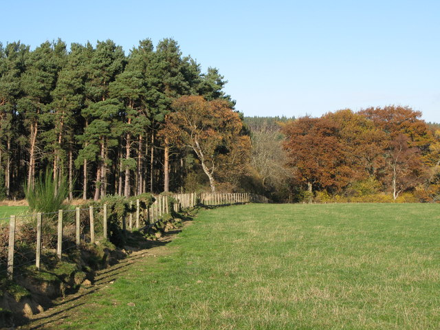
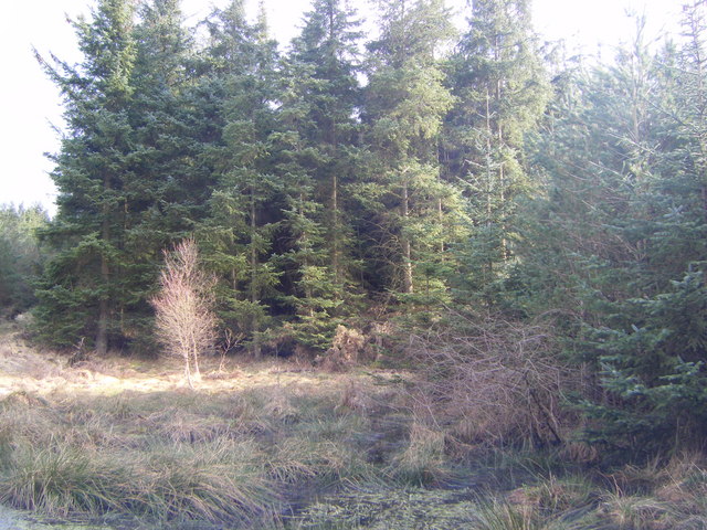
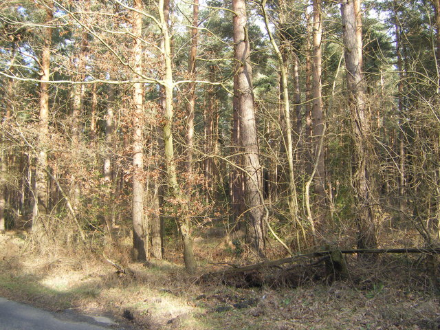
The common is home to a diverse range of flora and fauna, making it a haven for nature enthusiasts. The downs are covered in grasses, wildflowers, and heather, creating a vibrant and colorful display throughout the year. The moorland areas are characterized by their rocky outcrops, providing a contrasting element to the surrounding greenery.

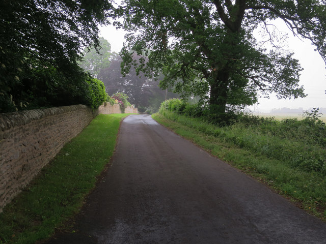
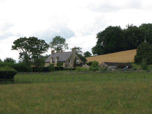
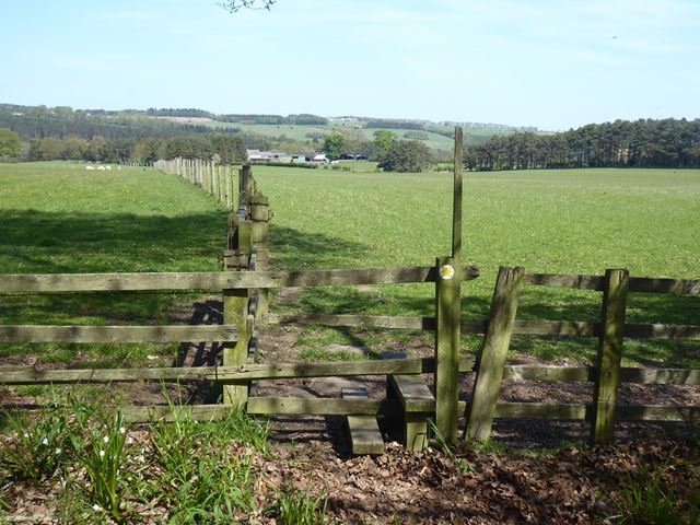
Walking trails crisscross the common, allowing visitors to explore its various features. From gentle strolls to more challenging hikes, there is something for everyone. The common offers stunning views of the surrounding Northumberland countryside, including the nearby River Tyne.

Steeped in history, Corbridge Common also holds archaeological significance. It is home to the remains of a Roman fort, known as Corstopitum, which was an important supply base during Roman times. The site has been excavated, and visitors can explore the ruins, gaining insight into the area's rich history.

Corbridge Common is a tranquil and idyllic location, offering a peaceful escape from the hustle and bustle of everyday life. Whether you are a nature lover, history enthusiast, or simply seeking a serene environment to relax in, Corbridge Common is a must-visit destination in Northumberland.

If you have any feedback on the listing, please let us know in the comments section below.

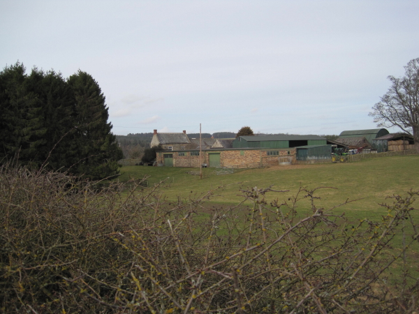
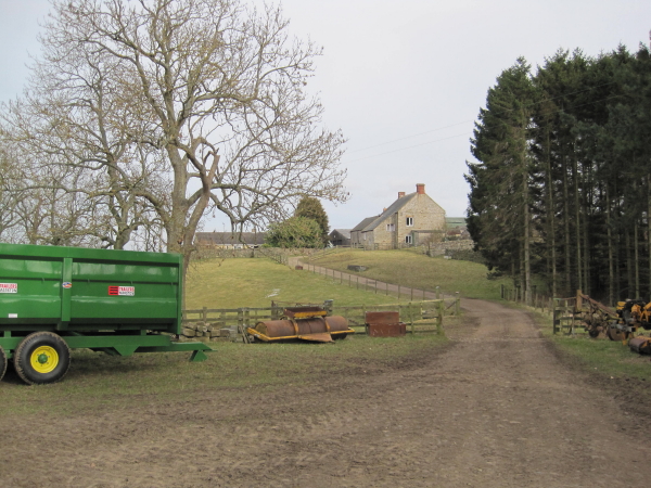
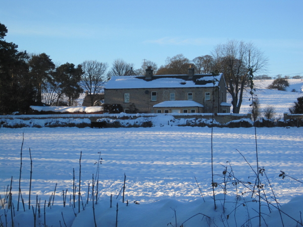
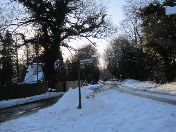
Corbridge Common Images

Images are sourced within 2km of 54.94753/-2.0292885 or Grid Reference NY9861. Thanks to Geograph Open Source API. All images are credited.

Shepherd's Dene House Built in 1906 in the Arts and Crafts style. South elevation overlooking the terraced garden. In 1946 the house was bequeathed to the Diocese of Newcastle and is now a retreat centre and venue for art courses and conferences.
Shepherd's Dene House
Built in 1906 in the Arts and Crafts style. South elevation overlooking the terraced garden. In 1946 the house was bequeathed to the Diocese of Newcastle and is now a retreat centre and venue for art courses and conferences.
Minor road past Southwood
Riding Mill burn near Shepherd's Dene
Shepherd's Dene Retreat House An impressive Country House in the Marchburn valley near Riding Mill, it is now the Retreat House for the Anglican Dioceses of  Newcastle and Durham.
Shepherd's Dene Retreat House
An impressive Country House in the Marchburn valley near Riding Mill, it is now the Retreat House for the Anglican Dioceses of Newcastle and Durham.
Farmland and plantation near Todburn Steel
Farmland to the southeast of Dipton Wood
Meadows and Southwood Cottage
Dipton Wood
Dipton Wood
Footpath towards Todburn Steel
Todburn Steel Farm near Dipton Wood
Todburn Steel Farm near Dipton Wood Todburn Steel farmhouse includes a pair of 16th or 17th bastles. One is still used as a house. It seems probable that the western bastle was earlier, probably dating to the early 17th century. The eastern bastle is probably 20-30 years later in date. This is a Grade II Listed Building protected by law.
<span class="nowrap"><a title="http://www.keystothepast.info/durhamcc/K2P.nsf/K2PDetail?readform&PRN=N8362" rel="nofollow ugc noopener" href="http://www.keystothepast.info/durhamcc/K2P.nsf/K2PDetail?readform&PRN=N8362">Link</a><img style="margin-left:2px;" alt="External link" title="External link - shift click to open in new window" src="https://s1.geograph.org.uk/img/external.png" width="10" height="10"/></span>
Todburn Steel Farm near Dipton Wood
Todburn Steel farmhouse includes a pair of 16th or 17th bastles. One is still used as a house. It seems probable that the western bastle was earlier, probably dating to the early 17th century. The eastern bastle is probably 20-30 years later in date. This is a Grade II Listed Building protected by law. LinkExternal link
Southwood Farm
Southwood Farm
Road Junction near Shepherd's Dene
Todburn Steel Farm The deeply incised valley of Dipton Burn and Dipton Wood lie beyond.
Todburn Steel Farm
The deeply incised valley of Dipton Burn and Dipton Wood lie beyond.
Field of sheep near North Cottage Dipton Wood in the distance.
Field of sheep near North Cottage
Dipton Wood in the distance.
Footpath to Todburn Steel farm Dipton Wood can be seen in the distance.
Footpath to Todburn Steel farm
Dipton Wood can be seen in the distance.
Swallowship Wood
Swallowship Wood
Birchy Wood
Birchy Wood
Show me another place!

Corbridge Common is located at Grid Ref: NY9861 (Lat: 54.94753, Lng: -2.0292885)

Unitary Authority: Northumberland

Police Authority: Northumbria

What 3 Words

///footpath.pylons.printout. Near Corbridge, Northumberland

Related Wikis

Cambian Dilston College

Cambian Dilston College is a private further education college for those with special educational needs. It is located at Dilston Hall in Corbridge in...
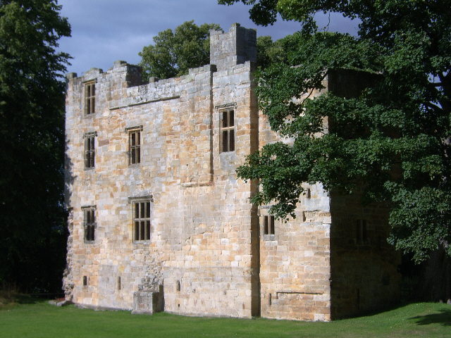
Dilston Castle

Dilston Castle is an unglazed 15th-century uninhabited tower house (and inactive Catholic chapel built for one family's services) at Dilston in the parish...

Corbridge railway station

Corbridge is a railway station on the Tyne Valley Line, which runs between Newcastle and Carlisle via Hexham. The station, situated 19 miles 15 chains...

Beauclerc

Beauclerc is a small village in Northumberland, England. It is situated to the west of Riding Mill, between Hexham and Newcastle upon Tyne. == Governance... ==

Nearby Amenities

Located within 500m of 54.94753,-2.0292885
Power: tower
Lat/Long: 54.9476719/-2.0252541
Power: tower
Lat/Long: 54.9502938/-2.0320421
Barrier: stile
Lat/Long: 54.9502473/-2.0253533
Barrier: stile
Lat/Long: 54.9464274/-2.0253706
Power: tower
Lat/Long: 54.9477992/-2.0226639
Power: tower
Lat/Long: 54.9485442/-2.0275047
Power: tower
Lat/Long: 54.9510327/-2.0339253
Power: tower
Lat/Long: 54.9494147/-2.0297694
The data included in this document is from www.openstreetmap.org. The data is made available under ODbL.

Have you been to Corbridge Common?

Leave your review of Corbridge Common below (or comments, questions and feedback).