Middle Plantation

Wood, Forest in Northumberland

England

Middle Plantation

Footbridge and Ford, Ridingmill Burn
Footbridge and Ford, Ridingmill Burn Credit: Les Hull

Middle Plantation, Northumberland, also known as Wood, Forest, is a small settlement located in the county of Northumberland, England. Situated in the northeastern part of the country, Middle Plantation is surrounded by picturesque landscapes and is known for its natural beauty.

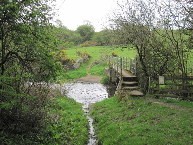
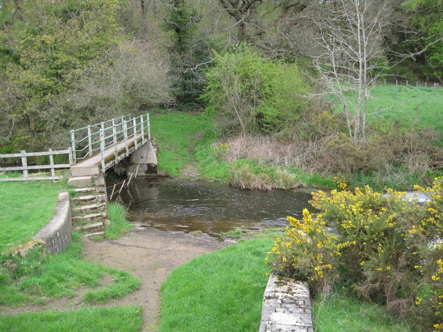
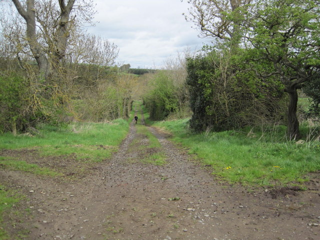
The settlement gets its name from the dense woodland that characterizes the area. The forest is home to a variety of tree species, including oak, beech, and birch, creating a lush and vibrant ecosystem. This vibrant woodland has attracted nature enthusiasts and hikers who enjoy exploring the numerous walking trails that wind through the forest.

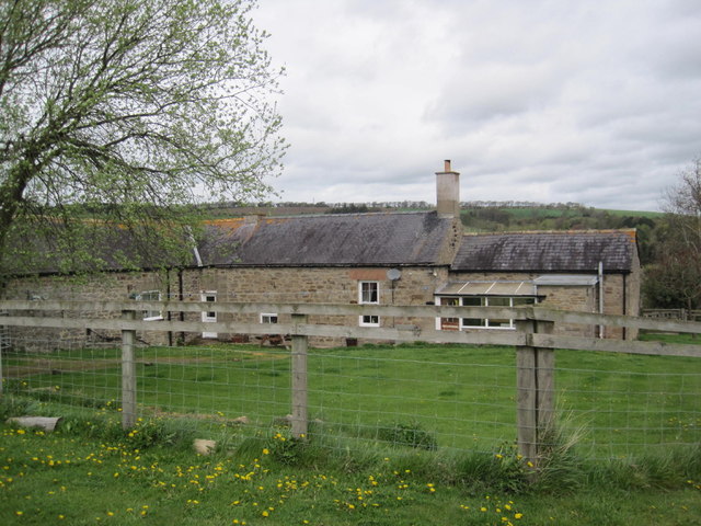
Besides its natural beauty, Middle Plantation also has a rich history. The area was first settled by humans during the medieval period and has since undergone various transformations. The remains of ancient structures, such as stone walls and foundations, can still be found within the forest, providing glimpses into the settlement's past.

Despite its small size, Middle Plantation offers a few amenities to its residents and visitors. There is a charming village pub, where locals and tourists alike can enjoy a traditional English meal or a pint of locally brewed ale. Additionally, the settlement is home to a small community center that hosts events and activities for the locals.

Overall, Middle Plantation, Northumberland, is a quaint and picturesque settlement that combines natural beauty with a rich history. Whether you are interested in exploring the forest trails or immersing yourself in the area's past, Middle Plantation offers a unique and tranquil experience for all who visit.

If you have any feedback on the listing, please let us know in the comments section below.

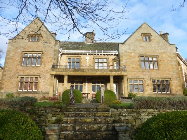
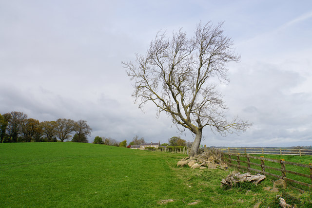
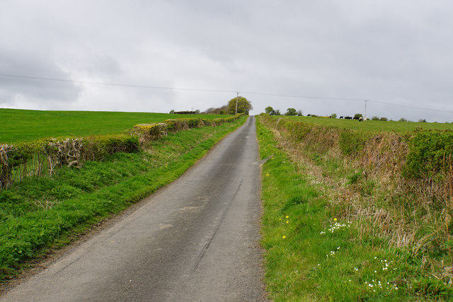
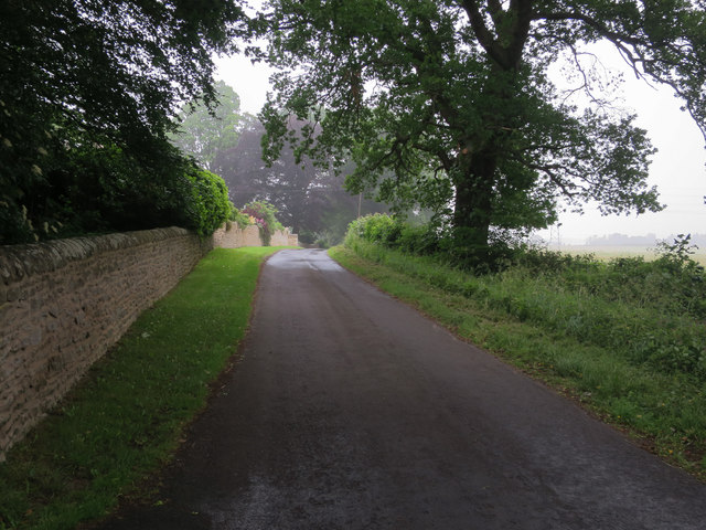
Middle Plantation Images

Images are sourced within 2km of 54.949518/-2.0177834 or Grid Reference NY9861. Thanks to Geograph Open Source API. All images are credited.

Footbridge and Ford, Ridingmill Burn
Footpath and Track towards Ridingmill Burn
Red Hemmels (former farm cottage)
Shepherd's Dene House Built in 1906 in the Arts and Crafts style. South elevation overlooking the terraced garden. In 1946 the house was bequeathed to the Diocese of Newcastle and is now a retreat centre and venue for art courses and conferences.
Shepherd's Dene House
Built in 1906 in the Arts and Crafts style. South elevation overlooking the terraced garden. In 1946 the house was bequeathed to the Diocese of Newcastle and is now a retreat centre and venue for art courses and conferences.
Field entrance near Red Hemmels Farm
Track (footpath) towards Red Hemmels Farm Heading east.
Track (footpath) towards Red Hemmels Farm
Heading east.
Farmland near Red Hemmels Farm
Country lane at Riding Lea This lane just leads down to the A695 in the direction of Corbridge.
Country lane at Riding Lea
This lane just leads down to the A695 in the direction of Corbridge.
Path up to Riding Hills Here leaving the hamlet of Riding Lea.
Path up to Riding Hills
Here leaving the hamlet of Riding Lea.
Path down to Riding Lea Though not clear, the path follows the field edge. The hamlet of Riding Lea is at the bottom of the slope.
Path down to Riding Lea
Though not clear, the path follows the field edge. The hamlet of Riding Lea is at the bottom of the slope.
Young wheat field above Riding Lea This hillside gives views of the Tyne valley.
Young wheat field above Riding Lea
This hillside gives views of the Tyne valley.
Exposed tree on the way to Riding Hills On the eastern slopes of Prospect Hill.
Exposed tree on the way to Riding Hills
On the eastern slopes of Prospect Hill.
Track near Riding Hills The hillside gives views into the Tyne valley.
Track near Riding Hills
The hillside gives views into the Tyne valley.
Lane up to Prospect Hill A steady climb to the top of the hill. Once you are on the top, the prospect is not as good as you are led to believe.
Lane up to Prospect Hill
A steady climb to the top of the hill. Once you are on the top, the prospect is not as good as you are led to believe.
Minor road past Southwood
Riding Mill burn near Shepherd's Dene
A challenging situation I was glad to get out of the field and behind a gate when this mixed herd of cows and bullocks came after me. It was only then that I realised that one of the cows was a bull! But in fact, he seemed to be the least interested and least aggressive of the lot.

The wooded valley of the Ridingmill Burn in the background.
A challenging situation
I was glad to get out of the field and behind a gate when this mixed herd of cows and bullocks came after me. It was only then that I realised that one of the cows was a bull! But in fact, he seemed to be the least interested and least aggressive of the lot. The wooded valley of the Ridingmill Burn in the background.
Show me another place!

Middle Plantation is located at Grid Ref: NY9861 (Lat: 54.949518, Lng: -2.0177834)

Unitary Authority: Northumberland

Police Authority: Northumbria

What 3 Words

///croaking.immediate.knitted. Near Corbridge, Northumberland

Related Wikis

Beauclerc

Beauclerc is a small village in Northumberland, England. It is situated to the west of Riding Mill, between Hexham and Newcastle upon Tyne. == Governance... ==

Corbridge railway station

Corbridge is a railway station on the Tyne Valley Line, which runs between Newcastle and Carlisle via Hexham. The station, situated 19 miles 15 chains...

Cambian Dilston College

Cambian Dilston College is a private further education college for those with special educational needs. It is located at Dilston Hall in Corbridge in...
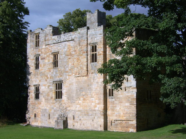
Dilston Castle

Dilston Castle is an unglazed 15th-century uninhabited tower house (and inactive Catholic chapel built for one family's services) at Dilston in the parish...

Nearby Amenities

Located within 500m of 54.949518,-2.0177834
Barrier: stile
Lat/Long: 54.9502473/-2.0253533
Power: tower
Lat/Long: 54.9477992/-2.0226639
Power: tower
Lat/Long: 54.9479203/-2.020201
Power: tower
Lat/Long: 54.9480796/-2.0169615
The data included in this document is from www.openstreetmap.org. The data is made available under ODbL.

Have you been to Middle Plantation?

Leave your review of Middle Plantation below (or comments, questions and feedback).