Alder Coppice

Wood, Forest in Staffordshire Stafford

England

Alder Coppice

Hixon from Ingestre Deep in the Trent Valley. :-) This is a view ENE across various grid squares - the GR is Hixon Church.
Hixon from Ingestre Credit: Adrian Bailey

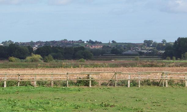
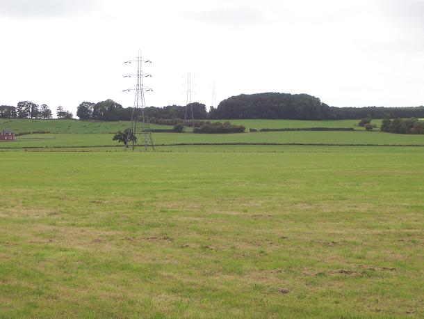
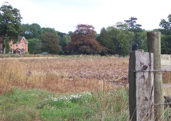
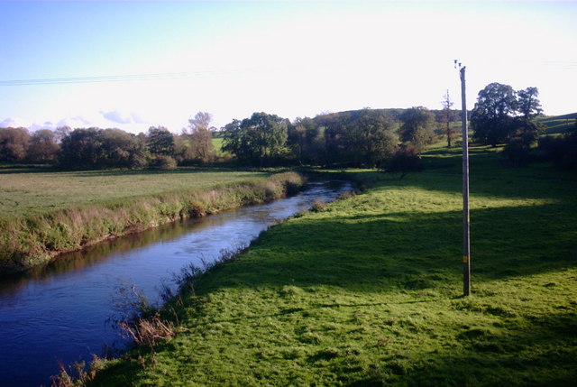
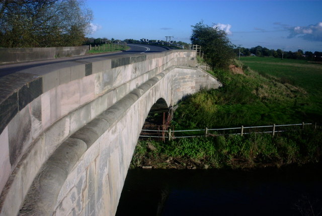
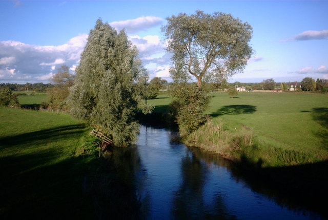
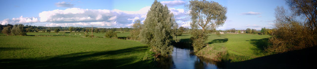
Alder Coppice is a scenic woodland area located in Staffordshire, England. Spanning over a vast expanse, the coppice is renowned for its dense growth of alder trees, which lend their name to the area. The woodland is an important ecological site, serving as a habitat for a diverse range of flora and fauna.

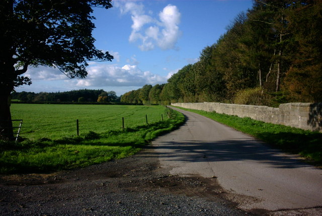
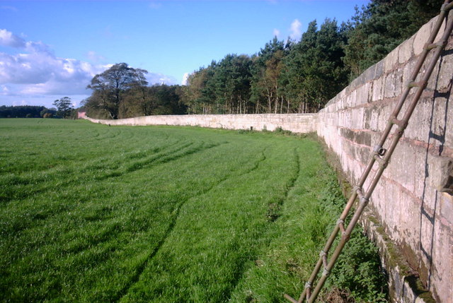
The alder trees dominate the landscape, creating a unique and enchanting atmosphere. The woodland floor is carpeted with lush vegetation, including ferns, mosses, and wildflowers, adding to the area's natural beauty. The dense canopy of the trees provides a shady and cool environment, making it an ideal spot for nature enthusiasts and hikers to explore and seek respite from the summer heat.

Alder Coppice is a thriving habitat for various bird species, including woodpeckers, owls, and warblers. The woodland is also home to small mammals such as squirrels, rabbits, and voles. The presence of these animals adds to the charm and allure of the area, making it a haven for wildlife enthusiasts and photographers.

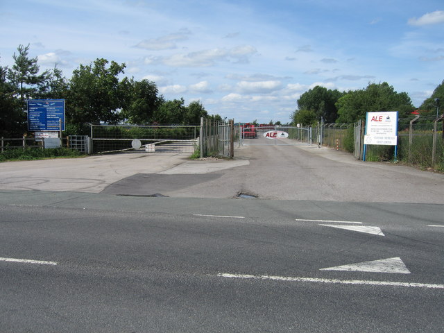
The coppice is a popular destination for outdoor activities, including walking, cycling, and picnicking. Several well-maintained trails crisscross through the woods, allowing visitors to immerse themselves in the peaceful surroundings. The area is also equipped with benches and picnic areas, providing a perfect setting for families and friends to gather and enjoy the tranquility of nature.

Alder Coppice is a cherished natural gem in Staffordshire, offering visitors a chance to connect with the outdoors and appreciate the beauty of the woodland ecosystem.

If you have any feedback on the listing, please let us know in the comments section below.

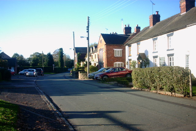
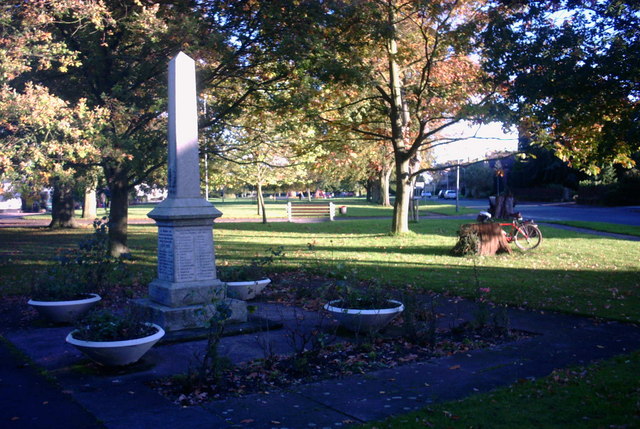
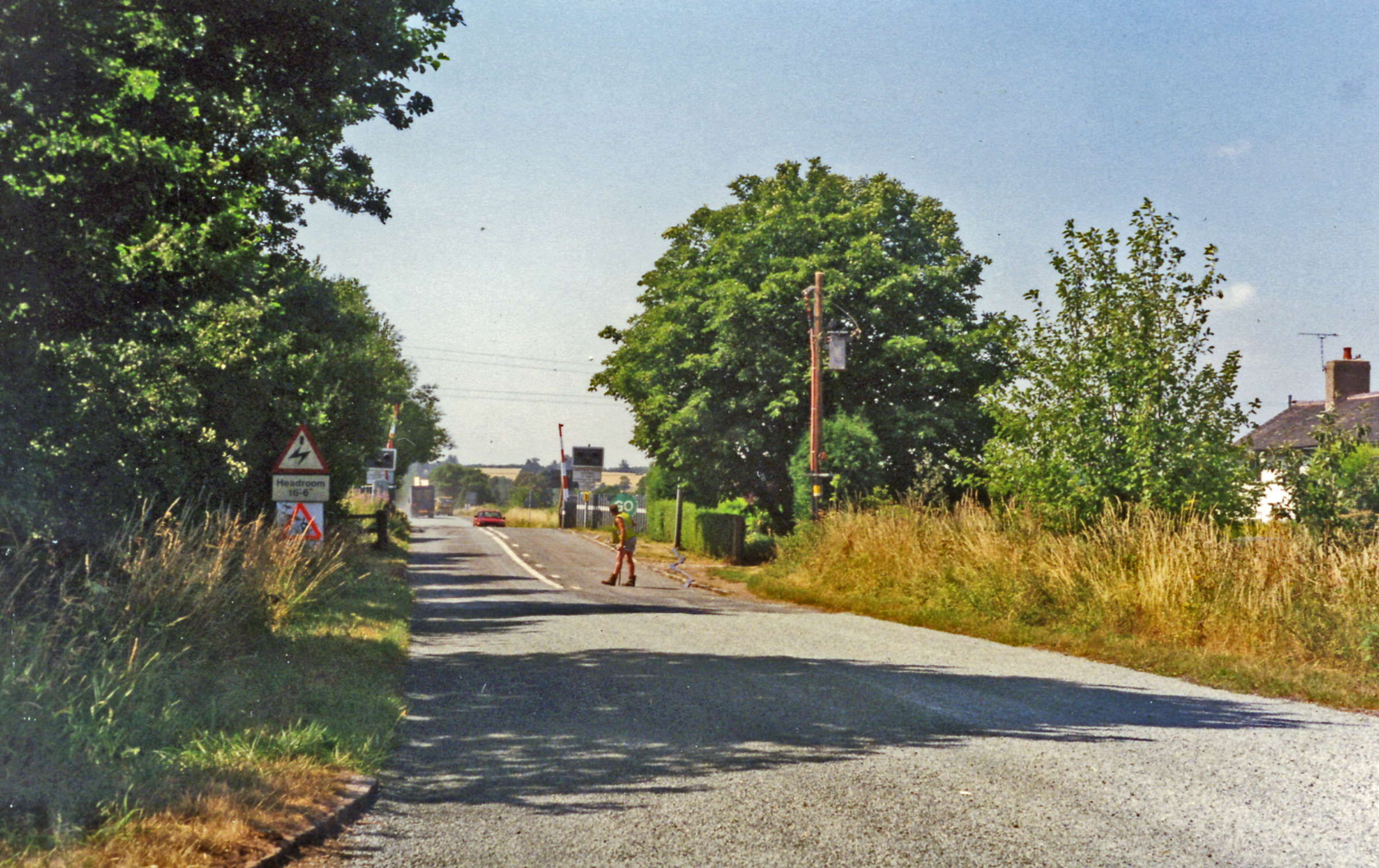
Alder Coppice Images

Images are sourced within 2km of 52.826763/-2.0301595 or Grid Reference SJ9825. Thanks to Geograph Open Source API. All images are credited.

Hixon from Ingestre Deep in the Trent Valley. :-) This is a view ENE across various grid squares - the GR is Hixon Church.
Hixon from Ingestre
Deep in the Trent Valley. :-) This is a view ENE across various grid squares - the GR is Hixon Church.
Ingestre Hall Chetwynd's Jacobean masterpiece is owned by Sandwell Borough Council, who use it as a residential arts centre. <span class="nowrap"><a title="http://pages.britishlibrary.net/tixandrews/ingestre/inghall.html" rel="nofollow ugc noopener" href="http://pages.britishlibrary.net/tixandrews/ingestre/inghall.html">Link</a><img style="margin-left:2px;" alt="External link" title="External link - shift click to open in new window" src="https://s1.geograph.org.uk/img/external.png" width="10" height="10"/></span>
Ingestre Hall
Chetwynd's Jacobean masterpiece is owned by Sandwell Borough Council, who use it as a residential arts centre. LinkExternal link
Fields at Tixall Farm The distant wood is Bricklawn Covert. The GR given is for the near pylon.
Fields at Tixall Farm
The distant wood is Bricklawn Covert. The GR given is for the near pylon.
Little Ingestre Viewed from the village lane. Does anyone know how "Ingestre" is pronounced?
Little Ingestre
Viewed from the village lane. Does anyone know how "Ingestre" is pronounced?
St Mary the Virgin, Ingestre Built 1676. <span class="nowrap"><a title="http://pages.britishlibrary.net/tixandrews/ingestre/ingchrch.html" rel="nofollow ugc noopener" href="http://pages.britishlibrary.net/tixandrews/ingestre/ingchrch.html">Link</a><img style="margin-left:2px;" alt="External link" title="External link - shift click to open in new window" src="https://s1.geograph.org.uk/img/external.png" width="10" height="10"/></span>
St Mary the Virgin, Ingestre
Built 1676. LinkExternal link
Ingestre This odd little place viewed from the stables.
Ingestre
This odd little place viewed from the stables.
Ingestre Stables <span class="nowrap"><a title="http://www.ingestre.com/" rel="nofollow ugc noopener" href="http://www.ingestre.com/">Link</a><img style="margin-left:2px;" alt="External link" title="External link - shift click to open in new window" src="https://s1.geograph.org.uk/img/external.png" width="10" height="10"/></span>
Ingestre is quite a surprise. The village is at the end of a no-through road, so you'll only arrive here by choice or by accident. Your reward is not only a magnificent hall and church, but these amazing stables, which look to me more like an Oxford college. Hmm...
Ingestre Stables
LinkExternal link Ingestre is quite a surprise. The village is at the end of a no-through road, so you'll only arrive here by choice or by accident. Your reward is not only a magnificent hall and church, but these amazing stables, which look to me more like an Oxford college. Hmm...
Weston upon Trent Church St Andrew's Church has an very broad tower in Early English style, and there is other early 13C work inside, but the remainder of the exterior is Victorian, of 1860 and 1872.
Weston upon Trent Church
St Andrew's Church has an very broad tower in Early English style, and there is other early 13C work inside, but the remainder of the exterior is Victorian, of 1860 and 1872.
Entrance to Hixon Industrial Estate Hixon Industrial Estate is located on the former wartime RAF bomber airfield situated to the north-west of the village. The original hangars have been utilised, and newer industrial units and warehouses have also been built. This is one of four entrances to the site. The blue sign on the gate to the left lists all the firms on the industrial estate; whilst the gate on the right gives access to Abnormal Load Engineering (ALE), who move large loads around the country, on low-loaders hauled by mammoth trucks.
Entrance to Hixon Industrial Estate
Hixon Industrial Estate is located on the former wartime RAF bomber airfield situated to the north-west of the village. The original hangars have been utilised, and newer industrial units and warehouses have also been built. This is one of four entrances to the site. The blue sign on the gate to the left lists all the firms on the industrial estate; whilst the gate on the right gives access to Abnormal Load Engineering (ALE), who move large loads around the country, on low-loaders hauled by mammoth trucks.
Farm Track and Bridleway This track leads to the A518, it is a continuation of a bridleway from Tixall near Stafford. The woodland on the right is called Pool covert.
Farm Track and Bridleway
This track leads to the A518, it is a continuation of a bridleway from Tixall near Stafford. The woodland on the right is called Pool covert.
Bridleway in a Field This bridleway runs alongside a tall stone-walled wooded area (Lamberts Coppice) on the right and a very large open field on the left. I guess that at one time there used to be deer kept behind the wall looking at the names on the map.
Bridleway in a Field
This bridleway runs alongside a tall stone-walled wooded area (Lamberts Coppice) on the right and a very large open field on the left. I guess that at one time there used to be deer kept behind the wall looking at the names on the map.
The River Trent, Weston This view of the River Trent is from the Weston Bridge looking downstream.
The River Trent, Weston
This view of the River Trent is from the Weston Bridge looking downstream.
Weston Bridge, Weston near Stafford This is Weston Bridge carrying the A518 over the River Trent at Weston, near to Stafford.
Weston Bridge, Weston near Stafford
This is Weston Bridge carrying the A518 over the River Trent at Weston, near to Stafford.
River Trent, upstream This is the River Trent looking upstream from Weston Bridge, Weston near Stafford.
River Trent, upstream
This is the River Trent looking upstream from Weston Bridge, Weston near Stafford.
River Trent Panorama This is a panoramic view of the River Trent looking upstream from the Weston Bridge on the A518.
River Trent Panorama
This is a panoramic view of the River Trent looking upstream from the Weston Bridge on the A518.
Cottage, Weston Cottage just off Green Lane at Weston.
Cottage, Weston
Cottage just off Green Lane at Weston.
Cottages on Green Lane Cottages on Green Lane, Weston
Cottages on Green Lane
Cottages on Green Lane, Weston
2 World Wars - 1 Village This War Memorial, to those who were lost from the village of Weston during the two World Wars, is next to the village green.
2 World Wars - 1 Village
This War Memorial, to those who were lost from the village of Weston during the two World Wars, is next to the village green.
Show me another place!

Alder Coppice is located at Grid Ref: SJ9825 (Lat: 52.826763, Lng: -2.0301595)

Administrative County: Staffordshire

District: Stafford

Police Authority: Staffordshire

What 3 Words

///odds.cabin.truckload. Near Great Haywood, Staffordshire

Related Wikis

Ingestre

Ingestre is a village and civil parish in the Stafford district, in the county of Staffordshire, England. The population of the civil parish taken at the...
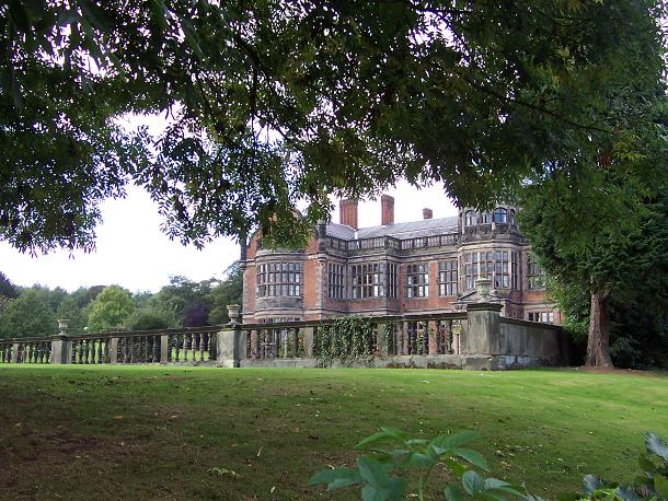
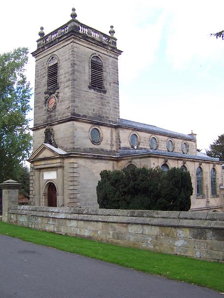
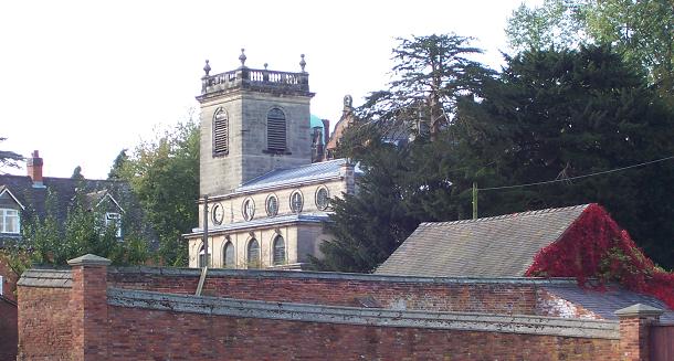
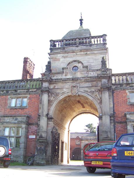
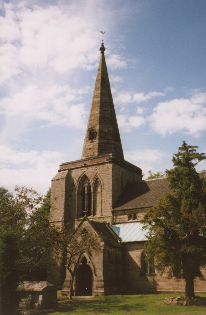
Ingestre Hall

Ingestre Hall is a Grade II* 17th-century Jacobean mansion situated at Ingestre, near Stafford, Staffordshire, England. Formerly the seat of the Earls...

Hixon rail crash

On 6 January 1968, a low-loader transporter carrying a 120-ton electrical transformer was struck by a British Rail express train on a recently installed...

Hixon railway station

Hixon railway station is a disused railway station in Staffordshire, England. The railway line between Stone and Colwich was opened by the North Staffordshire...

Ingestre railway station

Ingestre and Weston railway station was a former British railway station to serve the village of Ingestre in Staffordshire.It was opened by the Stafford...

Weston, Staffordshire

Weston is a village and civil parish. within the English county of Staffordshire. The parish is in the local authority of Stafford (non-metropolitan district...

Weston and Ingestre railway station

Weston and Ingestre railway station was a former British railway station opened by the North Staffordshire Railway to serve the village of Ingestre in...

RAF Hixon

Royal Air Force Hixon, or more simply RAF Hixon, was a Royal Air Force station located on the north western edge of the village of Hixon in Staffordshire...

Nearby Amenities

Located within 500m of 52.826763,-2.0301595
Waterway: turning_point
Lat/Long: 52.8284946/-2.0262443
The data included in this document is from www.openstreetmap.org. The data is made available under ODbL.

Have you been to Alder Coppice?

Leave your review of Alder Coppice below (or comments, questions and feedback).