Faggergill Wood

Wood, Forest in Yorkshire Richmondshire

England

Faggergill Wood

Whaw Ford This field access ford on the Arkle Beck is found beside the Old Chapel in Whaw.
Whaw Ford Credit: John Walton

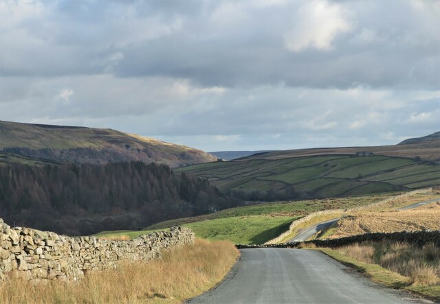
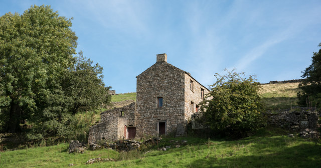
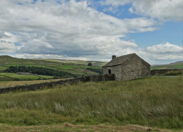
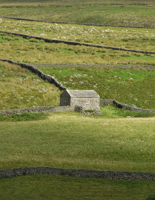
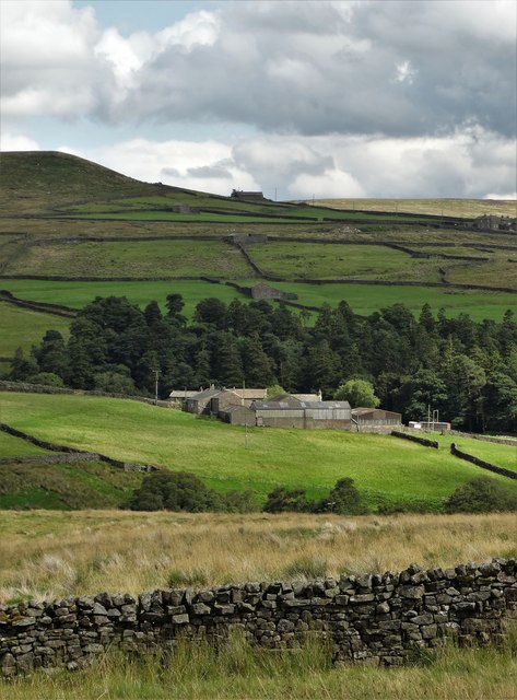
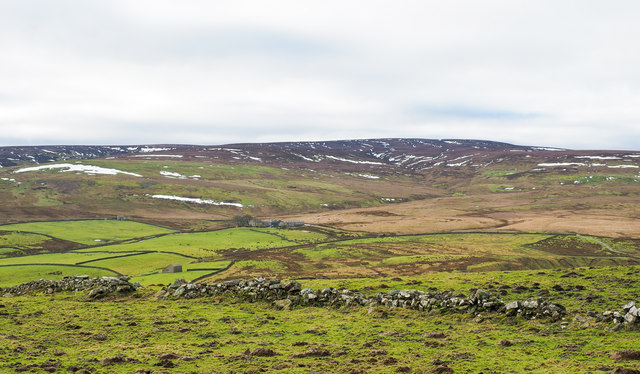
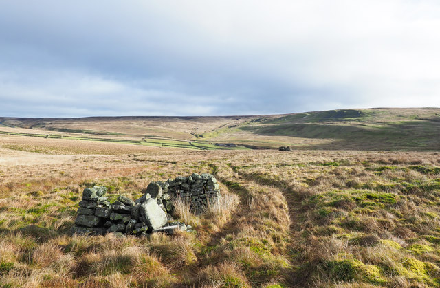
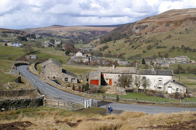
Faggergill Wood is a picturesque woodland located in Yorkshire, England. It covers an area of approximately 10 acres and is known for its stunning natural beauty and abundant wildlife. Situated near the village of Faggergill, the wood is a popular destination for nature lovers and outdoor enthusiasts.

The woodland is characterized by a diverse range of tree species, including oak, beech, ash, and birch, which create a dense canopy overhead. The forest floor is blanketed with a variety of wildflowers, ferns, and mosses, adding to the enchanting atmosphere of the wood. The towering trees provide ample shade, making it a perfect spot for a leisurely stroll or a peaceful picnic.

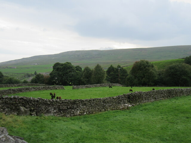
Faggergill Wood is home to a rich array of wildlife. Visitors may spot various bird species, such as woodpeckers, owls, and thrushes, flitting amongst the branches. Squirrels can often be seen scurrying up and down the trees, while rabbits and foxes may occasionally make an appearance. The wood is also known for its diverse insect population, including butterflies and dragonflies.

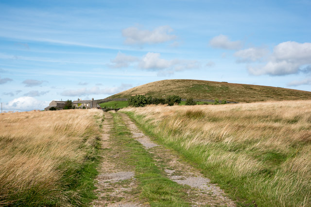
Trails wind their way through the wood, offering visitors the opportunity to explore its beauty at their own pace. These paths are well-maintained, making the wood accessible to all, including families with young children.

Faggergill Wood is a true gem in Yorkshire, offering visitors a tranquil retreat within nature's embrace. Its natural splendor, coupled with its abundant wildlife, makes it a must-visit destination for anyone seeking solace and rejuvenation in the heart of the countryside.

If you have any feedback on the listing, please let us know in the comments section below.

Faggergill Wood Images

Images are sourced within 2km of 54.441583/-2.0314981 or Grid Reference NY9805. Thanks to Geograph Open Source API. All images are credited.

Whaw Ford This field access ford on the Arkle Beck is found beside the Old Chapel in Whaw.
Whaw Ford
This field access ford on the Arkle Beck is found beside the Old Chapel in Whaw.
Heading down Arkengarthdale The road down the dale at the point where it drops steeply down to Punchard Gill Bridge.  Hard to believe that this was once a turnpike road, with Punchard Gate House some 400m behind the camera as a toll house. Two hundred years ago there was sufficient traffic to and from both coal and lead mines to make this road a worthwhile investment.
Heading down Arkengarthdale
The road down the dale at the point where it drops steeply down to Punchard Gill Bridge. Hard to believe that this was once a turnpike road, with Punchard Gate House some 400m behind the camera as a toll house. Two hundred years ago there was sufficient traffic to and from both coal and lead mines to make this road a worthwhile investment.
Wood House Wood House in Arkengarthdale.
Wood House
Wood House in Arkengarthdale.
Mine workings near Whaw Most probably lead workings.
Mine workings near Whaw
Most probably lead workings.
Near Whaw Looking south down Arkengarthdale.
Near Whaw
Looking south down Arkengarthdale.
Whaw cowhouse One of the many 'cowhouses' in this area.
Whaw cowhouse
One of the many 'cowhouses' in this area.
Alf Wright Information sign near Whaw.
Alf Wright
Information sign near Whaw.
Access road approaching Kitley Hill House Kitley Hill House can be discerned just to the left of the domed hill which is of course, Kitley Hill. That hill is a minor feature, merely a tiny excrescence on the southern slope of Hoove.
Access road approaching Kitley Hill House
Kitley Hill House can be discerned just to the left of the domed hill which is of course, Kitley Hill. That hill is a minor feature, merely a tiny excrescence on the southern slope of Hoove.
Wood House Wood House stands north of Arkle Beck in Arkengarthdale not far from the small village of Whaw. At the time the image was recorded it was thought that the place was deserted but now the photographer is uncertain. It does appear that there's no road access.
Wood House
Wood House stands north of Arkle Beck in Arkengarthdale not far from the small village of Whaw. At the time the image was recorded it was thought that the place was deserted but now the photographer is uncertain. It does appear that there's no road access.
Roadside barn at Punchard Gate
Field barn in Arkengarthsale
A view of Low Faggergill Farm
Signpost to the hamlet of Whaw In Arkengarthdale. Such a curious name for a settlement - pronounced "war".
Signpost to the hamlet of Whaw
In Arkengarthdale. Such a curious name for a settlement - pronounced "war".
Ruined wall crossing rough grazing The enclosed area of rough grazing is on the north side of Arkengarthdale. The view beyond is across the valley to a moorland high point at West Moor which rises to finally to Water Crag.
Ruined wall crossing rough grazing
The enclosed area of rough grazing is on the north side of Arkengarthdale. The view beyond is across the valley to a moorland high point at West Moor which rises to finally to Water Crag.
Vehicle track beside disused grouse butt A vehicle track through thick moorland vegetation running alongside disused grouse butts. The fields seen in the middle distance are at Shaw Farm; the moorland beyond rises to a high point at Peat Moor Hill.
Vehicle track beside disused grouse butt
A vehicle track through thick moorland vegetation running alongside disused grouse butts. The fields seen in the middle distance are at Shaw Farm; the moorland beyond rises to a high point at Peat Moor Hill.
Moorland slope rising to Hoove Grassy moorland running away north-north-east towards the flat-topped hill, Hoove as seen from Kitley Hill.
Moorland slope rising to Hoove
Grassy moorland running away north-north-east towards the flat-topped hill, Hoove as seen from Kitley Hill.
Mine spoil in Faggergill The name Faggergill appears on OS maps a number of times but never to name the valley or its stream; the very extensive spoil heaps however are certainly those of the Faggergill Lead Mine.
Hoove is the moorland hill rising on the far side of the valley.
Mine spoil in Faggergill
The name Faggergill appears on OS maps a number of times but never to name the valley or its stream; the very extensive spoil heaps however are certainly those of the Faggergill Lead Mine. Hoove is the moorland hill rising on the far side of the valley.
The track leading to Seal Houses Moor From the Whaw back road, this track offers an easy ascent towards Seal Houses Moor and Kitley Hill House, with good views back into Arkengarthdale, on the moors above which the heather is blooming prolifically, tinting the hillsides purple.
The track leading to Seal Houses Moor
From the Whaw back road, this track offers an easy ascent towards Seal Houses Moor and Kitley Hill House, with good views back into Arkengarthdale, on the moors above which the heather is blooming prolifically, tinting the hillsides purple.
Show me another place!

Faggergill Wood is located at Grid Ref: NY9805 (Lat: 54.441583, Lng: -2.0314981)

Division: North Riding

Administrative County: North Yorkshire

District: Richmondshire

Police Authority: North Yorkshire

What 3 Words

///petted.occur.zipped. Near Bowes, Co. Durham

Related Wikis

Whaw

Whaw is a hamlet in Arkengarthdale in North Yorkshire, England. It is one of few settlements in the dale and is one of the smallest. Its name derives from...

Arkengarthdale

Arkengarthdale is a dale, or valley, on the east side of the Pennines in North Yorkshire, England. Running roughly north-west to south-east, it is the...

Arkle Beck Meadows, Whaw

Arkle Beck Meadows, Whaw (grid reference NY984041) is a 8.4 hectares (21 acres) biological Site of Special Scientific Interest (SSSI) at Whaw in Arkengarthdale...

Eskeleth

Eskeleth is a hamlet in Arkengarthdale in North Yorkshire, England. It is in the Yorkshire Dales National Park. Eskeleth sits 4 miles (6.4 km) from the...

Hoove

Hoove is a hill in the northern Yorkshire Dales in North Yorkshire, England, near the town of Barnard Castle in County Durham. Its elevation is 554 metres...

Arkengarthdale Gunnerside and Reeth Moors

Arkengarthdale Gunnerside and Reeth Moors (grid reference NY935070 and SD970990) is a 7,634.72 hectares (18,865.8 acres) biological Site of Special Scientific...

Langthwaite

Langthwaite is one of the few villages in Arkengarthdale, North Yorkshire, England. It is 3.5 miles (5.6 km) north of Reeth and sits 870 feet (270 m) above...

Arkle Town

Arkle Town is a hamlet in Arkengarthdale in the Richmondshire district of North Yorkshire, England. It is situated 0.4 miles (0.64 km) to the south of...

Nearby Amenities

Located within 500m of 54.441583,-2.0314981
Access: yes
Barrier: cattle_grid
Lat/Long: 54.4405101/-2.038981
Low Faggergill
Place: isolated_dwelling
Lat/Long: 54.4421839/-2.0326061
Mell Close Gate
Place: locality
Lat/Long: 54.4424136/-2.0250598
The data included in this document is from www.openstreetmap.org. The data is made available under ODbL.

Have you been to Faggergill Wood?

Leave your review of Faggergill Wood below (or comments, questions and feedback).