Edge End Plantation
Wood, Forest in Yorkshire
England
Edge End Plantation

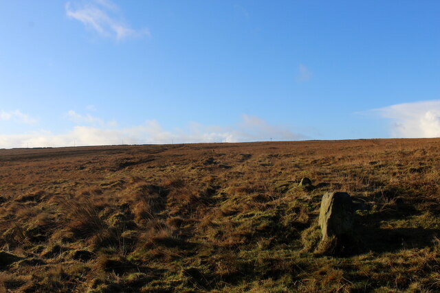
Edge End Plantation is a picturesque woodland located in the Yorkshire region of England. Situated on the outskirts of a small village, it covers an area of approximately 100 acres and is renowned for its natural beauty, diverse flora, and abundant wildlife.
The woodland primarily consists of a mix of deciduous and coniferous trees, providing a rich and varied habitat. Tall, majestic oak, beech, and birch trees dominate the landscape, creating a dense canopy that filters sunlight and casts enchanting shadows on the forest floor. Intermingled with these are towering Scots pines and spruces, adding a touch of evergreen charm to the plantation.
Walking through Edge End Plantation, visitors are greeted by a symphony of sounds from the resident bird population. Chirping songbirds such as thrushes and warblers can be heard, along with the distinctive calls of woodpeckers echoing through the trees. Red squirrels dart among the branches, while rabbits and badgers find refuge in the undergrowth.
The woodland is a popular destination for nature enthusiasts, hikers, and families seeking a tranquil escape from urban life. Several well-marked trails wind their way through the plantation, offering visitors the opportunity to explore its hidden nooks and crannies. Within the woodland, there are also designated picnic areas where visitors can relax and enjoy the serene surroundings.
Edge End Plantation is not only a haven for wildlife but also a vital ecosystem that helps purify the air and provides a natural barrier against soil erosion. Its preservation and careful management ensure that future generations can continue to enjoy the beauty and tranquility of this remarkable woodland.
If you have any feedback on the listing, please let us know in the comments section below.
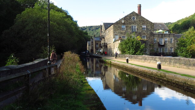
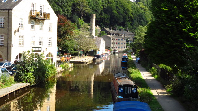
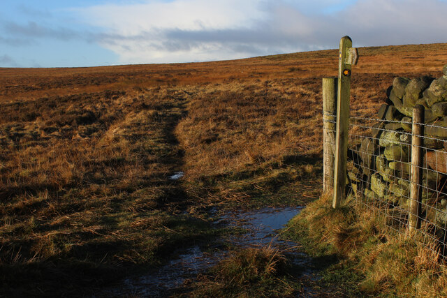
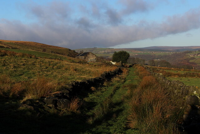
Edge End Plantation Images
Images are sourced within 2km of 53.72916/-2.0306555 or Grid Reference SD9825. Thanks to Geograph Open Source API. All images are credited.


Edge End Plantation is located at Grid Ref: SD9825 (Lat: 53.72916, Lng: -2.0306555)
Division: West Riding
Unitary Authority: Calderdale
Police Authority: West Yorkshire
What 3 Words
///hurtles.spindles.saunas. Near Hebden Bridge, West Yorkshire
Nearby Locations
Related Wikis

Eastwood (L&Y) railway station
Eastwood Railway Station served the village of Eastwood in the civil parish of Todmorden, West Yorkshire, England. The station opened with the line on...

Erringden
Erringden is a civil parish in the Metropolitan Borough of Calderdale in West Yorkshire, England. Previously it was a township within the chapelry of Heptonstall...

Eastwood, West Yorkshire
Eastwood is a place within the civil parish of Todmorden and Metropolitan Borough of Calderdale, in West Yorkshire, England. It lies 8 miles (12.9 km)...

Hebden Bridge railway station
Hebden Bridge railway station serves the town of Hebden Bridge in West Yorkshire, England. The station is on the Calder Valley Line, operated by Northern...
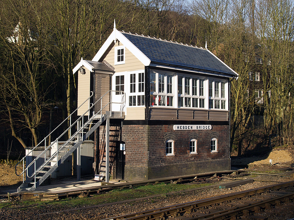
Hebden Bridge signal box
Hebden Bridge signal box is a Grade II listed former Lancashire and Yorkshire Railway signal box, located close to Hebden Bridge railway station in West...

Hebden Bridge Picture House
Hebden Bridge Picture House in Hebden Bridge, West Yorkshire, is one of the last remaining council-owned cinemas in Britain. Together with the adjacent...

Battle of Heptonstall
The Battle of Heptonstall occurred in November 1643 during the First English Civil War at Hebden Bridge and Heptonstall, Yorkshire. During the battle,...

Stoodley Pike
Stoodley Pike is a 1,300-foot (400 m) hill in the south Pennines in West Yorkshire in northern England. It is noted for the 121-foot (37 m) Stoodley Pike...
Nearby Amenities
Located within 500m of 53.72916,-2.0306555Have you been to Edge End Plantation?
Leave your review of Edge End Plantation below (or comments, questions and feedback).