Grant's Copse

Wood, Forest in Dorset

England

Grant's Copse

Ford At Corfe Mullen The ford at Corfe Mullen is secured by a locked pair of gates.
Ford At Corfe Mullen Credit: John Walton

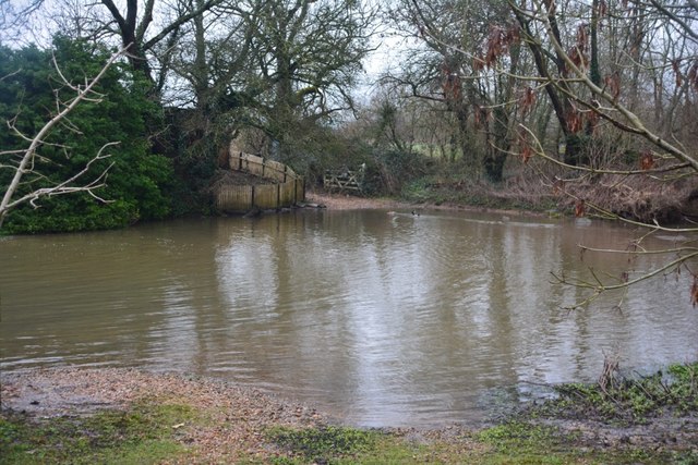
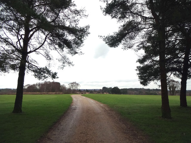
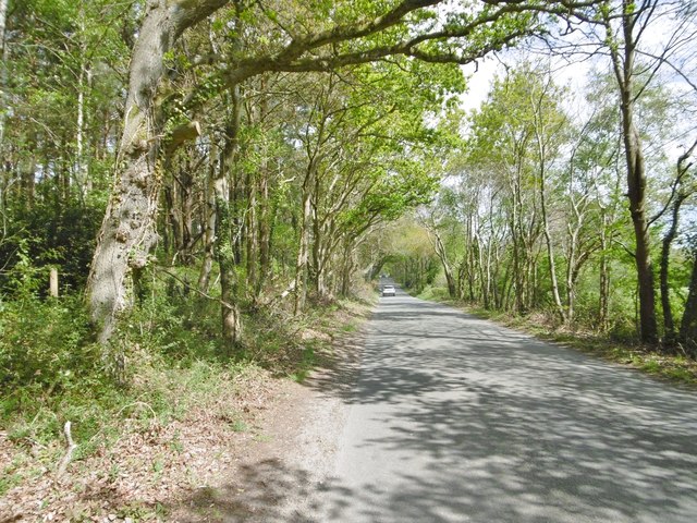
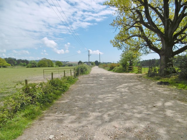
Grant's Copse is a picturesque woodland located in Dorset, England. Covering an area of approximately 25 acres, it is a popular destination for nature enthusiasts and those seeking a peaceful retreat. The copse is situated near the village of Wimborne Minster, surrounded by rolling hills and quaint countryside.

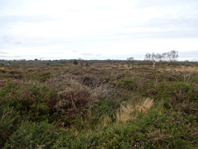
The woodland is characterized by a diverse range of tree species, including oak, beech, and birch. These towering trees create a dense canopy that filters sunlight and provides a cool, shaded environment. Underneath the canopy, a lush undergrowth thrives, consisting of ferns, bluebells, and various wildflowers.

Grant's Copse is known for its tranquil atmosphere, offering visitors a sense of tranquility and serenity. The absence of modern amenities such as roads and buildings further enhances the feeling of being immersed in nature. This makes it an ideal location for walking, hiking, and birdwatching.

The copse is home to a variety of wildlife, including deer, foxes, and numerous bird species. Birdwatchers may be lucky enough to spot woodpeckers, buzzards, or even rare species such as nightjars. The copse also provides habitat for a wide range of insects, butterflies, and other small creatures.

Visitors can explore Grant's Copse via a network of well-maintained footpaths and trails, allowing them to fully appreciate the beauty and diversity of the woodland. The copse is open to the public year-round, offering a different experience with each season. Whether it be the vibrant colors of autumn or the fresh greenery of spring, Grant's Copse never fails to captivate its visitors with its natural charm.

If you have any feedback on the listing, please let us know in the comments section below.

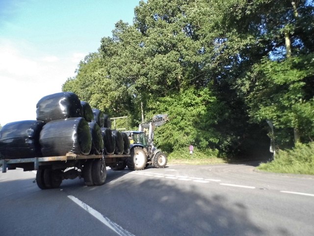
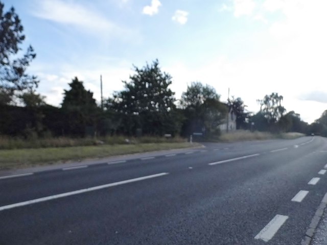
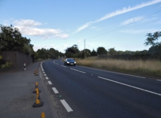
Grant's Copse Images

Images are sourced within 2km of 50.774279/-2.0297162 or Grid Reference SY9897. Thanks to Geograph Open Source API. All images are credited.

Ford At Corfe Mullen The ford at Corfe Mullen is secured by a locked pair of gates.
Ford At Corfe Mullen
The ford at Corfe Mullen is secured by a locked pair of gates.
Footpath across golf course fairway A public right-of-way across one of the fairways at Broadstone Golf Course, at Corfe Hills.
Footpath across golf course fairway
A public right-of-way across one of the fairways at Broadstone Golf Course, at Corfe Hills.
Corfe and Barrow Hills Nature Reserve Looking towards Rushcombe Bottom, from the footpath across the Corfe and Barrow Hills Nature Reserve.
Corfe and Barrow Hills Nature Reserve
Looking towards Rushcombe Bottom, from the footpath across the Corfe and Barrow Hills Nature Reserve.
Remains of the Somerset & Dorset Joint Railway The site of Corfe Mullen Junction, with some old crossing gates and an (extended) crossing keeper / signalman's house.
Remains of the Somerset & Dorset Joint Railway
The site of Corfe Mullen Junction, with some old crossing gates and an (extended) crossing keeper / signalman's house.
Corfe Mullen, Rushall Lane Lane from Blandford Road North to Corfe Mullen; plantation, left, and properties and grazing land, right.
Corfe Mullen, Rushall Lane
Lane from Blandford Road North to Corfe Mullen; plantation, left, and properties and grazing land, right.
Corfe Mullen, plantation Stony Down Plantation - conifers with a little hardwood.
Corfe Mullen, plantation
Stony Down Plantation - conifers with a little hardwood.
Corfe Mullen, bridleway Bridleway and access road, from Rushall Lane to Upton Heath.
Corfe Mullen, bridleway
Bridleway and access road, from Rushall Lane to Upton Heath.
Corfe Mullen, timber Softwood logs awaiting collection in Stony Down Plantation.
Corfe Mullen, timber
Softwood logs awaiting collection in Stony Down Plantation.
Corfe Mullen, bridleway Across Stony Down Plantation, from Rushall Lane to Old Market Road.
Corfe Mullen, bridleway
Across Stony Down Plantation, from Rushall Lane to Old Market Road.
Corfe Mullen, plantation Stony Down Plantation - conifers with patches of hardwood.
Corfe Mullen, plantation
Stony Down Plantation - conifers with patches of hardwood.
Corfe Mullen, track junction From camera and ahead, the bridleway to Old Market Road; left and right, tracks belonging to a local camping business. Upgrading of the tracks seems to have caused local controversy: <span class="nowrap"><a title="https://susanjefferies.mycouncillor.org.uk/2015/10/16/stoney-down-plantation/" rel="nofollow ugc noopener" href="https://susanjefferies.mycouncillor.org.uk/2015/10/16/stoney-down-plantation/">Link</a><img style="margin-left:2px;" alt="External link" title="External link - shift click to open in new window" src="https://s1.geograph.org.uk/img/external.png" width="10" height="10"/></span>
Corfe Mullen, track junction
From camera and ahead, the bridleway to Old Market Road; left and right, tracks belonging to a local camping business. Upgrading of the tracks seems to have caused local controversy: LinkExternal link
Corfe Mullen, power lines Crossing Stony Down Plantation.
Corfe Mullen, power lines
Crossing Stony Down Plantation.
Corfe Mullen, bridleway Through Stony Down Plantation, from Rushall Lane to Old Market Road.
Corfe Mullen, bridleway
Through Stony Down Plantation, from Rushall Lane to Old Market Road.
Layby on the A31, Sleight
Bale carrier on the A31, Sleight
Mill Street, Corfe Mullen
Show me another place!

Grant's Copse is located at Grid Ref: SY9897 (Lat: 50.774279, Lng: -2.0297162)

Unitary Authority: Dorset

Police Authority: Dorset

What 3 Words

///fame.shrugging.riots. Near Broadstone, Dorset

Related Wikis

Castle Court School

Castle Court School is a co-educational, preparatory school located near the village of Corfe Mullen in the county of Dorset, England. == Location == Castle...

Corfe Mullen

Corfe Mullen is a village in Dorset, England, on the north-western urban fringe of the South East Dorset conurbation. The community had a population of...

St. Hubert's Church, Corfe Mullen

St Hubert's Church is a 13th-century Church of England parish church in Corfe Mullen, a district of Wimborne, in the ceremonial county of Dorset, on the...

Stoney Down

Stoney Down or Stony Down is both a hill and an area of forested countryside in the county of Dorset, England, that has been designated an "Area of Great...

Corfe Hills School

Corfe Hills School is a co-educational upper school in Broadstone, Poole, Dorset, England, in the urban fringe between Poole and Wimborne. The school became...

Cogdean Hundred

Cogdean Hundred was a hundred in the county of Dorset, England, containing the following parishes: Canford Magna Charlton Marshall Corfe Mullen Hamworthy...

Corfe Mullen Halt railway station

Corfe Mullen Halt was a station in the English county of Dorset. It was located between Bailey Gate and Broadstone stations on the Somerset and Dorset...

Corfe Barrows Nature Park

Corfe Barrows Nature Park comprises around nine natural areas, covering an area of 90 hectares, within the Borough of Poole that are being managed for...

Nearby Amenities

Located within 500m of 50.774279,-2.0297162
Material: wood
Power: pole
Source: bing
Lat/Long: 50.7709389/-2.033933
Material: wood
Power: pole
Source: bing
Lat/Long: 50.7720687/-2.0358986
Material: wood
Power: pole
Source: bing
Lat/Long: 50.7728019/-2.0362839
Fire Hydrant
Emergency: fire_hydrant
Fire Hydrant Diameter: 4 inch
Fire Hydrant Type: underground
Source: GPS+GLONASS
Lat/Long: 50.77237/-2.023556
Knoll Farm
Place: farm
Source Name: OS_OpenData_StreetView
Lat/Long: 50.7774042/-2.0311359
Barrier: kissing_gate
Foot: yes
Lat/Long: 50.7771105/-2.0342087
Camera Direction: 124
Camera Mount: wall
Camera Type: fixed
Height: 3
Man Made: surveillance
Surveillance: public
Surveillance Type: camera
Lat/Long: 50.770259/-2.0311287
Camera Direction: 335
Camera Mount: wall
Camera Type: fixed
Height: 3
Man Made: surveillance
Surveillance: public
Surveillance Type: camera
Lat/Long: 50.7702126/-2.0310727
Atkins Cross
Information: guidepost
Ref: 978968
Source: survey
Tourism: information
Lat/Long: 50.7710577/-2.0320322
Poles: bipole
Power: pole
Source: bing
Transformer: distribution
Lat/Long: 50.7745884/-2.0327899
Power: pole
Source: bing
Lat/Long: 50.7739065/-2.0311672
Poles: bipole
Power: pole
Source: bing
Transformer: distribution
Lat/Long: 50.7724257/-2.0239493
Power: pole
Source: bing
Lat/Long: 50.7733858/-2.0241129
Power: pole
Source: bing
Lat/Long: 50.7738523/-2.0234209
Power: pole
Source: bing
Lat/Long: 50.7734893/-2.0262828
Power: pole
Source: bing
Lat/Long: 50.7728617/-2.0248935
Power: pole
Source: bing
Lat/Long: 50.7745494/-2.0286244
Power: pole
Source: bing
Lat/Long: 50.7745443/-2.0298636
Power: pole
Source: bing
Lat/Long: 50.7739608/-2.0273611
Power: pole
Source: bing
Lat/Long: 50.7733197/-2.0324841
Power: pole
Source: bing
Lat/Long: 50.7730991/-2.0341605
Power: pole
Source: survey
Transformer: distribution
Voltage Primary: 11000
Voltage Secondary: 460
Voltage Tertiary: 230
Lat/Long: 50.7712825/-2.032814
The data included in this document is from www.openstreetmap.org. The data is made available under ODbL.

Have you been to Grant's Copse?

Leave your review of Grant's Copse below (or comments, questions and feedback).