Harry's Wood

Wood, Forest in Northumberland

England

Harry's Wood

Leehouse Linn
Leehouse Linn Credit: Leanmeanmo

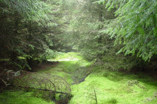
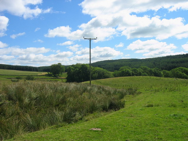
Harry's Wood is a picturesque forest located in the county of Northumberland, England. Covering an area of approximately 100 acres, it is a popular destination for nature enthusiasts and outdoor enthusiasts alike. The wood is situated near the village of Alnwick, renowned for its historic castle and stunning gardens.

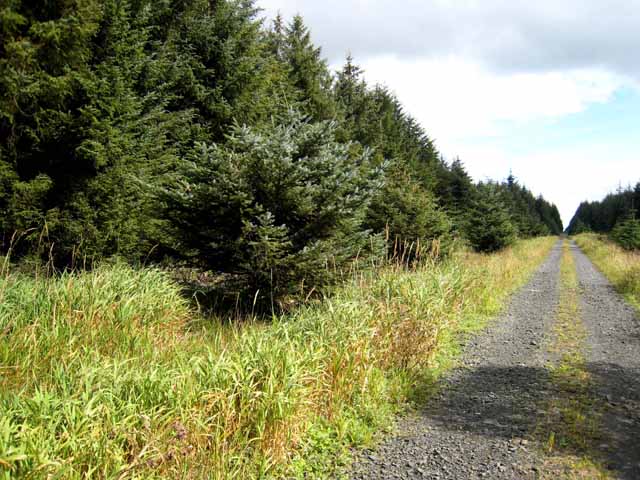
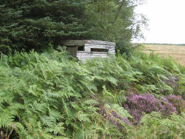
The woodland consists mainly of native broadleaf trees, including oak, ash, and beech, which provide a rich habitat for a diverse range of flora and fauna. Visitors to Harry's Wood can expect to encounter a variety of wildlife such as squirrels, deer, and a plethora of bird species, making it a haven for birdwatchers.

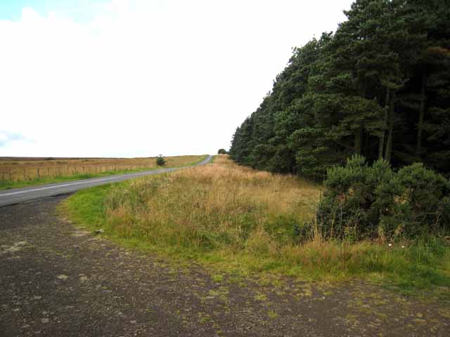
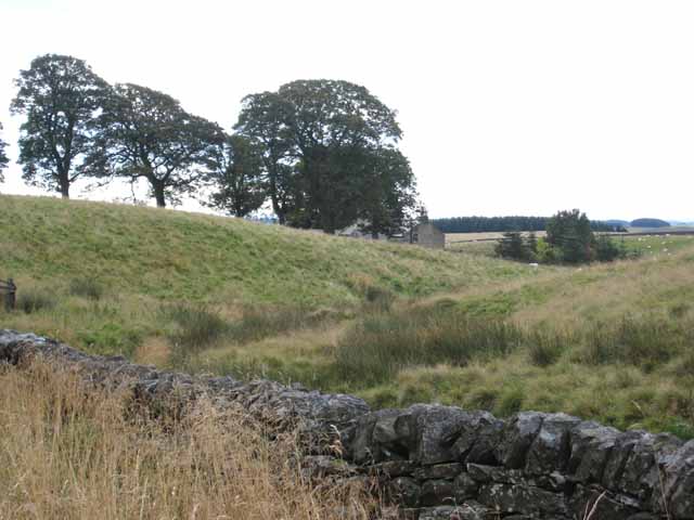
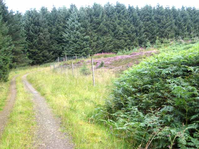
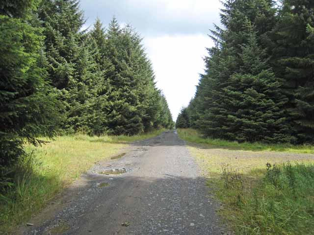
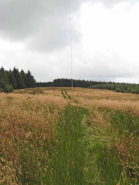
The forest offers a network of well-maintained footpaths and trails, allowing visitors to explore its beauty at their own pace. These paths meander through the woodland, offering breathtaking views of the surrounding countryside. There are also several picnic areas dotted throughout the wood, providing a peaceful spot for visitors to relax and enjoy the tranquility of their surroundings.

Harry's Wood is not only a place of natural beauty but also holds historical significance. The wood is said to have been named after a local resident named Harry, who was a prominent figure in the area during the 19th century.

Overall, Harry's Wood is a hidden gem in Northumberland, offering visitors a chance to immerse themselves in the beauty of nature and experience the tranquility of a picturesque woodland setting. Whether it's a leisurely stroll, birdwatching, or simply a peaceful picnic, Harry's Wood provides a perfect escape from the hustle and bustle of everyday life.

If you have any feedback on the listing, please let us know in the comments section below.
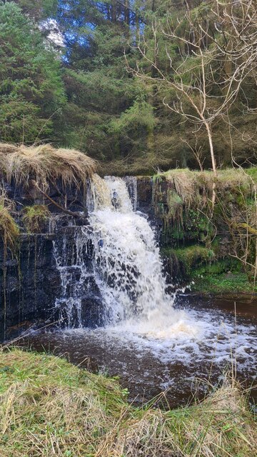
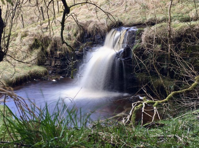
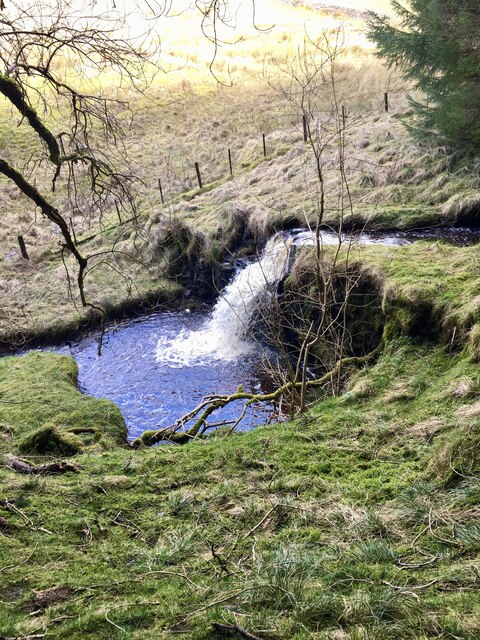
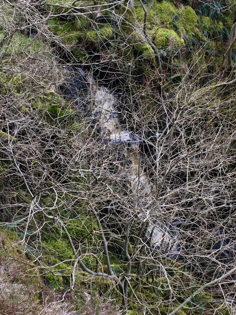
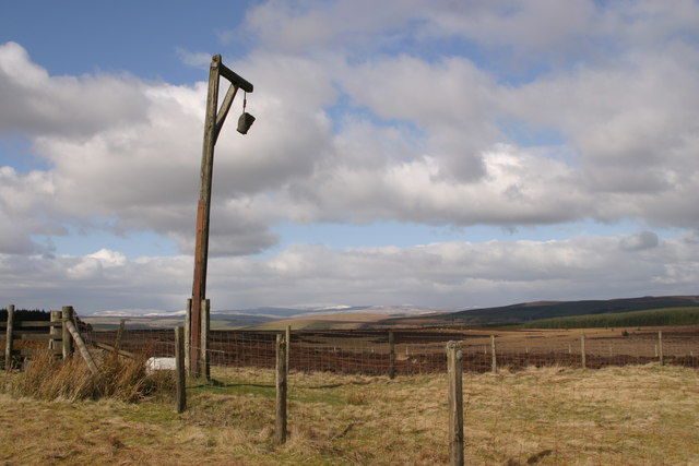
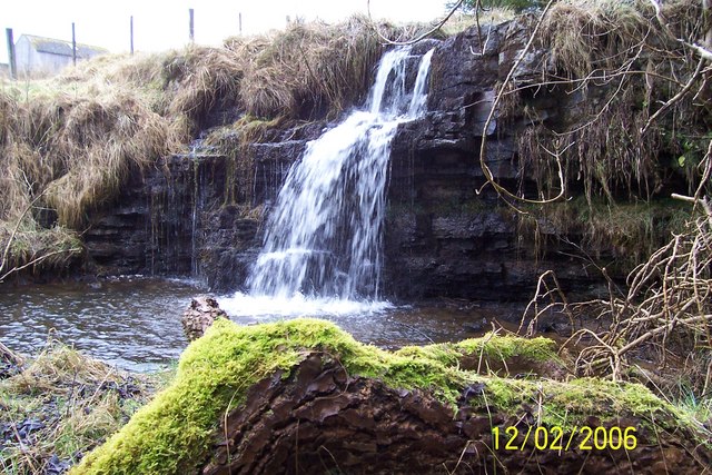
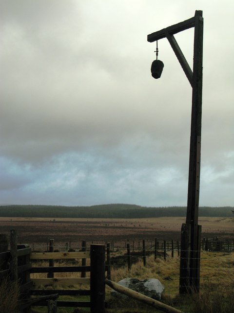
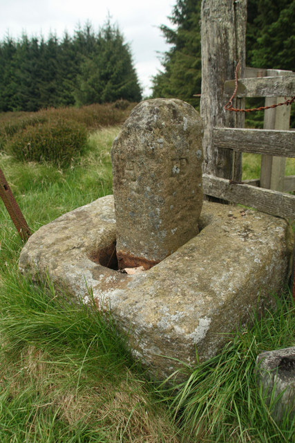
Harry's Wood Images

Images are sourced within 2km of 55.224637/-2.0415351 or Grid Reference NY9792. Thanks to Geograph Open Source API. All images are credited.

Leehouse Linn
Leehouse Linn
Leehouse Linn
Leehouse Linn
Leehouse Linn
Leehouse Linn
Smiddy Linn An agreeable waterfall/cascade on Bellion Sike.  Sadly it's overgrown with trees.
Smiddy Linn
An agreeable waterfall/cascade on Bellion Sike. Sadly it's overgrown with trees.
Harwood Forest. Steng Moss This was a surprising 'find' in the middle of a plantation forest. A magical place.
Harwood Forest. Steng Moss
This was a surprising 'find' in the middle of a plantation forest. A magical place.
Winter's Gibbet On 29th August 1791, William Winter murdered Margaret Crozier at Raw, about three miles north of Elsdon. Winter, and two accomplices, were caught, tried and hanged at the Westgate, Newcastle. Winter's body was afterwards hung in chains at the Steng Cross, an ancient boundary stone a couple of miles south-east of Elsdon, within sight of his victims home.
Winter's Gibbet
On 29th August 1791, William Winter murdered Margaret Crozier at Raw, about three miles north of Elsdon. Winter, and two accomplices, were caught, tried and hanged at the Westgate, Newcastle. Winter's body was afterwards hung in chains at the Steng Cross, an ancient boundary stone a couple of miles south-east of Elsdon, within sight of his victims home.
Head on Winter's Gibbet
Leehouse Linn waterfall
Farmland near Eastnook Farm
South-west corner of Harwood Forest Harwood Forest is a coniferous forest first established in the 1950s. The road in the picture is the road from Morpeth to Elsdon.
South-west corner of Harwood Forest
Harwood Forest is a coniferous forest first established in the 1950s. The road in the picture is the road from Morpeth to Elsdon.
Harwood Head Cottage set back from the Elsdon to Morpeth road.
Harwood Head
Cottage set back from the Elsdon to Morpeth road.
Forest road in Harwood Forest Harwood Forest is a coniferous forest first established in the 1950s.  Note the marshy vegetation in the ditch on the left hand side of the road.
Forest road in Harwood Forest
Harwood Forest is a coniferous forest first established in the 1950s. Note the marshy vegetation in the ditch on the left hand side of the road.
Forest colours, Harwood Forest Harwood Forest is a coniferous forest first established in the 1950s. A study in the subdued colours of the forest - light green bracken, dark green Sitka spruce, pink rosebay willowherb and purple heather.
Forest colours, Harwood Forest
Harwood Forest is a coniferous forest first established in the 1950s. A study in the subdued colours of the forest - light green bracken, dark green Sitka spruce, pink rosebay willowherb and purple heather.
Forest crossroads, Harewood Forest Harwood Forest is a coniferous forest first established in the 1950s.
Forest crossroads, Harewood Forest
Harwood Forest is a coniferous forest first established in the 1950s.
Shooting hide in Harwood Forest
Telecommunications mast, Manside Cross, Harwood Forest Harwood Forest is a coniferous forest first established in the 1950s. It seems the mast belongs to Amec wind generation company and is there to monitor only.
Telecommunications mast, Manside Cross, Harwood Forest
Harwood Forest is a coniferous forest first established in the 1950s. It seems the mast belongs to Amec wind generation company and is there to monitor only.
Winter's Gibbet
Winter's Gibbet
Manside Cross The remains of a medieval cross, a Scheduled Ancient Monument, stand just outside the Iron Age settlement. The socket stone and a stone shaft survive. The shaft was probably reused in post-medieval times as a boundary stone as it is carved with modern initials. Manside Cross is first mentioned in the Border Survey of 1604 and also appears on later maps.
Manside Cross
The remains of a medieval cross, a Scheduled Ancient Monument, stand just outside the Iron Age settlement. The socket stone and a stone shaft survive. The shaft was probably reused in post-medieval times as a boundary stone as it is carved with modern initials. Manside Cross is first mentioned in the Border Survey of 1604 and also appears on later maps.
Show me another place!

Harry's Wood is located at Grid Ref: NY9792 (Lat: 55.224637, Lng: -2.0415351)

Unitary Authority: Northumberland

Police Authority: Northumbria

What 3 Words

///preparing.inferior.hairpin. Near Otterburn, Northumberland

Nearby Locations

Harry's Wood Rushy Knowe

Related Wikis

Harwood Forest

Harwood Forest is a 3,527 hectares (8,720 acres) conifer plantation located to the south of Rothbury in North Northumberland, England, and managed by Forestry...

Elsdon Castle

Elsdon Castle is a castle in the village of Elsdon about 10 miles (16 km) to the southwest of Rothbury, in Northumberland, England, and also known as Mote...

Elsdon, Northumberland

Elsdon is a village and civil parish in the English county of Northumberland about 10 miles (16 km) to the southwest of Rothbury. The name is derived from...

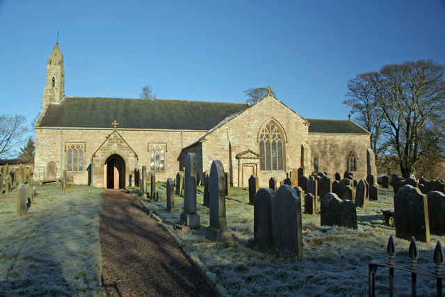
St Cuthbert's Church, Elsdon

St Cuthbert's Church is located in Elsdon, Alnwick, northeast England. The church was one of the resting places of St. Cuthbert's body in the wanderings...

Nearby Amenities

Located within 500m of 55.224637,-2.0415351
Bellion Edge
Place: locality
Lat/Long: 55.2230401/-2.0487158
Manside Flow
Place: locality
Lat/Long: 55.2207523/-2.0399563
The data included in this document is from www.openstreetmap.org. The data is made available under ODbL.

Have you been to Harry's Wood?

Leave your review of Harry's Wood below (or comments, questions and feedback).