Windybottom Wood
Wood, Forest in Derbyshire
England
Windybottom Wood
Windybottom Wood is a picturesque woodland located in Derbyshire, England. Covering an area of approximately 500 acres, it is a popular destination for nature enthusiasts and outdoor enthusiasts alike. The wood is situated near the small village of Windybottom, after which it is named, and is easily accessible by car or on foot.
The woodland is characterized by its diverse range of tree species, including oak, beech, and birch, which create a stunning canopy overhead. The forest floor is covered in a rich carpet of wildflowers and ferns, adding to its natural beauty. The wood is also home to a variety of wildlife, such as deer, foxes, and a wide array of bird species, making it a haven for wildlife enthusiasts and birdwatchers.
Several well-maintained walking trails wind their way through the woodland, providing visitors with the opportunity to explore and immerse themselves in the tranquil surroundings. These trails are suitable for all ages and fitness levels, allowing everyone to enjoy the beauty of the wood at their own pace.
In addition to its natural beauty, Windybottom Wood offers a range of recreational activities. This includes designated picnic areas where visitors can relax and enjoy a meal surrounded by nature. The wood is also a popular spot for photography, with its picturesque scenery providing an ideal backdrop for capturing stunning images.
Overall, Windybottom Wood is a true gem in the Derbyshire countryside, offering visitors a chance to escape the hustle and bustle of everyday life and connect with nature in a serene and tranquil setting.
If you have any feedback on the listing, please let us know in the comments section below.
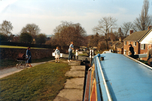
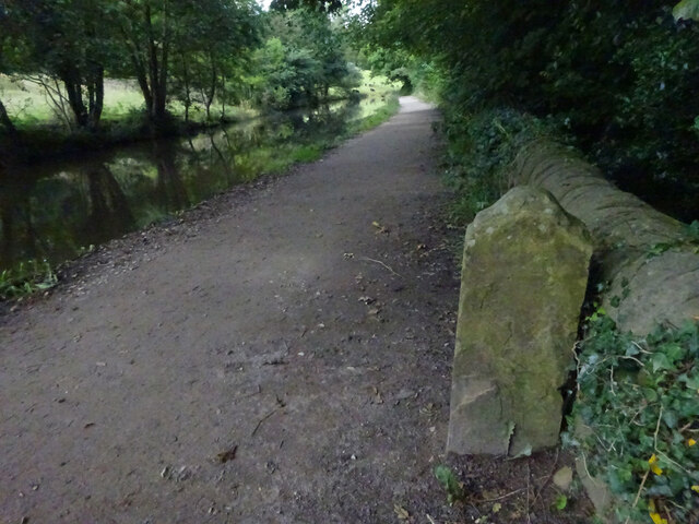
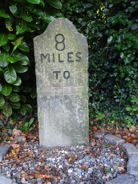
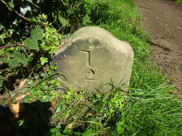
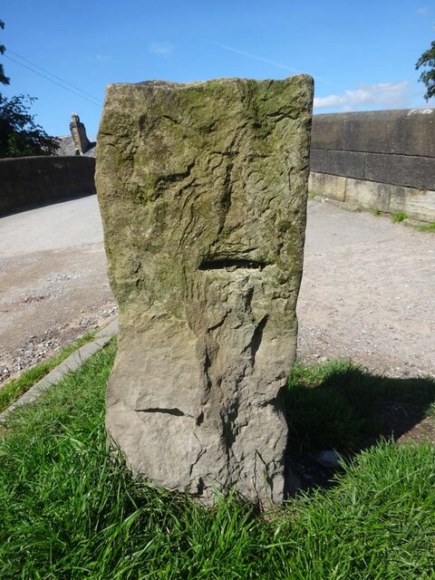
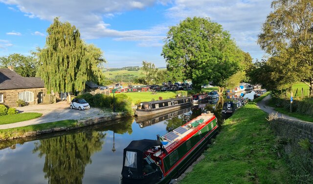
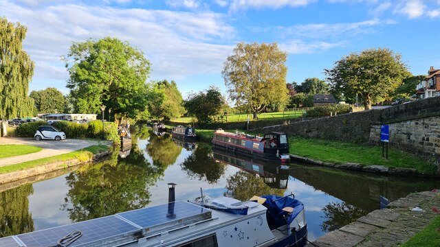
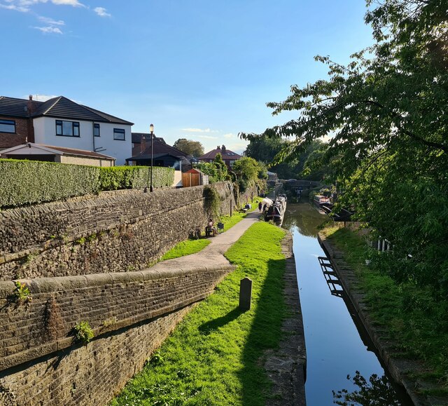
Windybottom Wood Images
Images are sourced within 2km of 53.385534/-2.0397125 or Grid Reference SJ9787. Thanks to Geograph Open Source API. All images are credited.

Windybottom Wood is located at Grid Ref: SJ9787 (Lat: 53.385534, Lng: -2.0397125)
Unitary Authority: Stockport
Police Authority: Greater Manchester
What 3 Words
///rooster.positions.welfare. Near Marple, Manchester
Nearby Locations
Related Wikis

Mellor Mill
Mellor Mill, also known as Bottom's Mill, was a six-story cotton mill in Marple, Greater Manchester built by Samuel Oldknow in 1793. This was a six-storey...
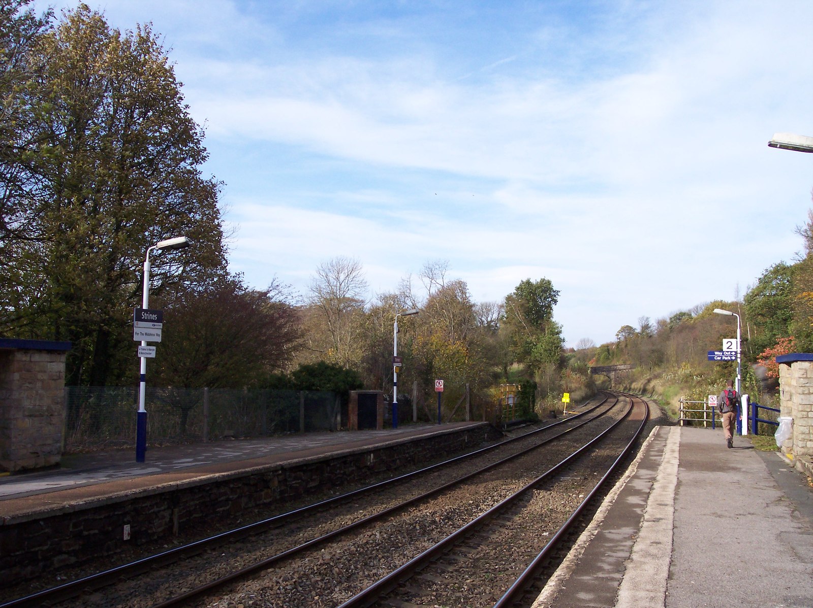
Strines railway station
Strines railway station serves the village of Strines, in the Metropolitan Borough of Stockport, on the outskirts of Greater Manchester, England. Until...

All Saints Church, Marple
All Saints Church is in Church Lane, Marple, Greater Manchester, England. It is recorded in the National Heritage List for England as a designated Grade...

Strines
Strines is a village in Greater Manchester, in the valley of the River Goyt. It is located midway between Marple and New Mills, about six miles south-east...

Mellor, Greater Manchester
Mellor is a village in Greater Manchester, England, lying between Marple Bridge and New Mills, Derbyshire.Buildings in the village include St. Thomas'...

St Thomas' Church, Mellor
St. Thomas' Church is at the top of a lane overlooking the village of Mellor, Greater Manchester, England with views over Manchester, Cheshire and beyond...
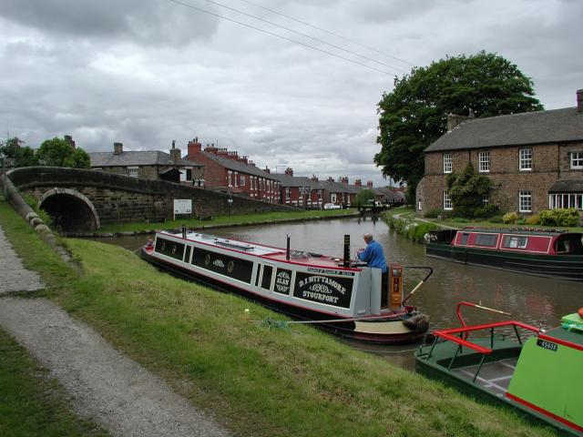
Marple Junction
Marple Junction (grid reference SJ961884) is the name of the canal junction where the Macclesfield Canal terminates and meets the Peak Forest Canal at...

Mellor hill fort
Mellor hill fort is a prehistoric site in North West England, that dates from the British Iron Age—about 800 BC to 100 AD. Situated on a hill in Mellor...
Nearby Amenities
Located within 500m of 53.385534,-2.0397125Have you been to Windybottom Wood?
Leave your review of Windybottom Wood below (or comments, questions and feedback).