Rushy Knowe

Hill, Mountain in Northumberland

England

Rushy Knowe

Leehouse Linn
Leehouse Linn Credit: Leanmeanmo

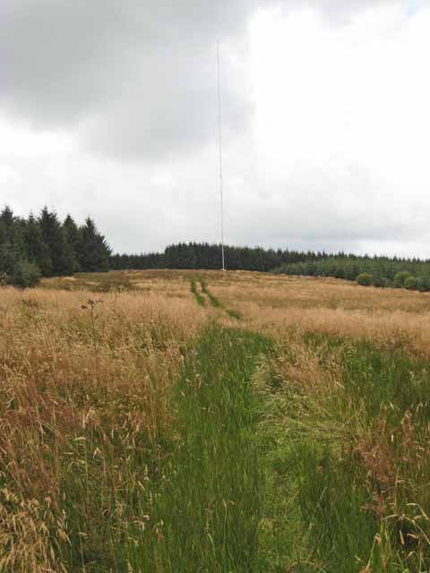
Rushy Knowe is a prominent hill located in the county of Northumberland, England. Rising to an elevation of approximately 475 meters (1,558 feet), it is a notable landmark in the region and is a popular destination for outdoor enthusiasts and nature lovers.

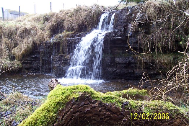
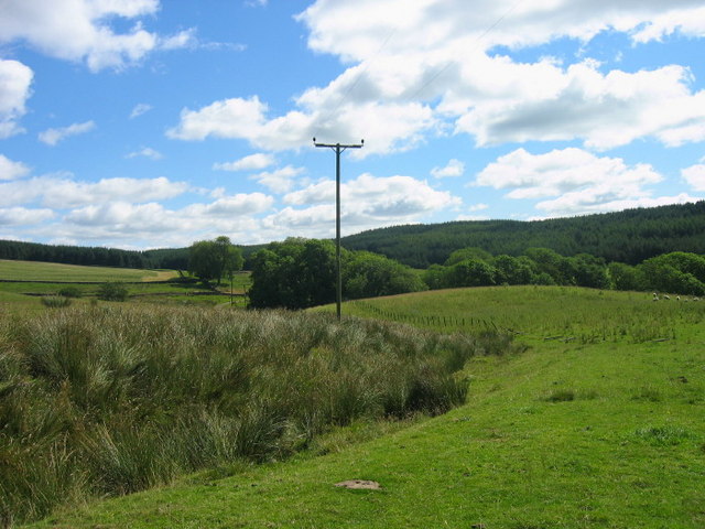
Situated within the North Pennines Area of Outstanding Natural Beauty, Rushy Knowe offers stunning panoramic views of the surrounding countryside. Its position provides visitors with an opportunity to marvel at the picturesque landscapes, including rolling hills, vast moorlands, and quaint villages nestled in the valleys below.

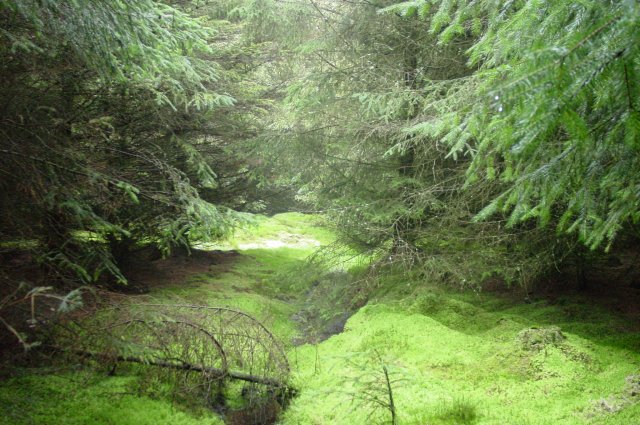
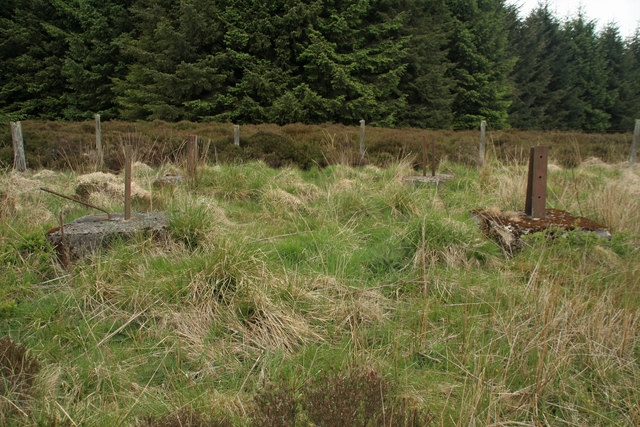
The hill is covered in a mixture of heather, grasses, and scattered trees, creating a diverse habitat for a variety of plant and animal species. It is not uncommon to spot native wildlife such as red grouse, curlews, and skylarks while exploring the area.

For those seeking outdoor activities, Rushy Knowe offers several walking trails and paths, allowing visitors to explore its diverse terrain and discover hidden treasures along the way. The hill poses a moderate challenge, making it suitable for hikers of various skill levels.

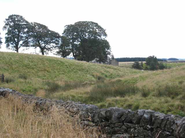
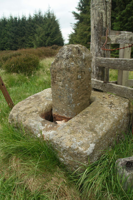
Additionally, Rushy Knowe is steeped in historical significance, with traces of ancient settlements and archaeological sites scattered across its slopes. These remnants provide a glimpse into the area's rich cultural heritage, adding an extra layer of intrigue to any visit.

Overall, Rushy Knowe in Northumberland is a captivating hill that offers a combination of natural beauty, recreational opportunities, and historical interest. It is a must-visit destination for anyone looking to immerse themselves in the stunning landscapes and rich history of the North Pennines region.

If you have any feedback on the listing, please let us know in the comments section below.
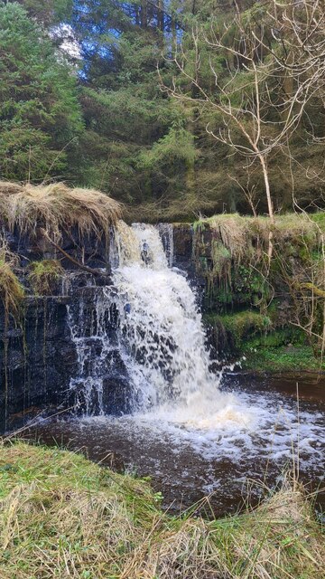
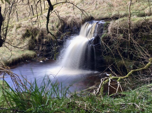
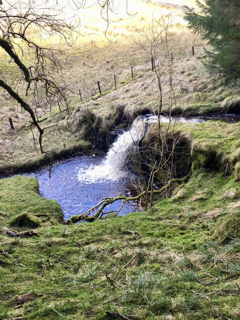
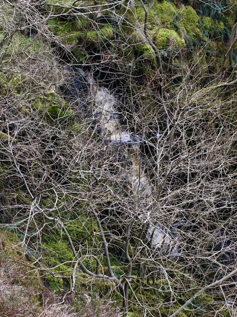
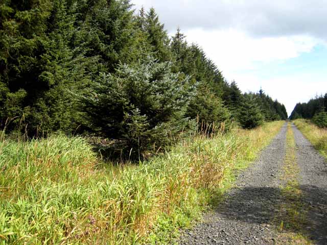
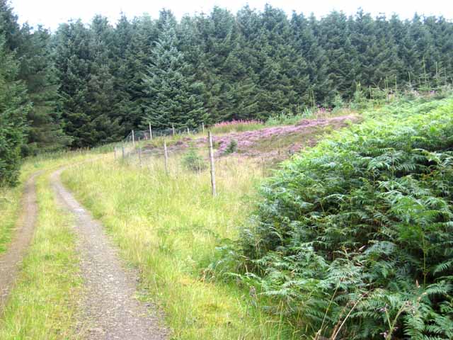
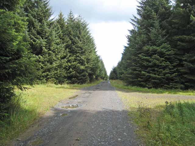
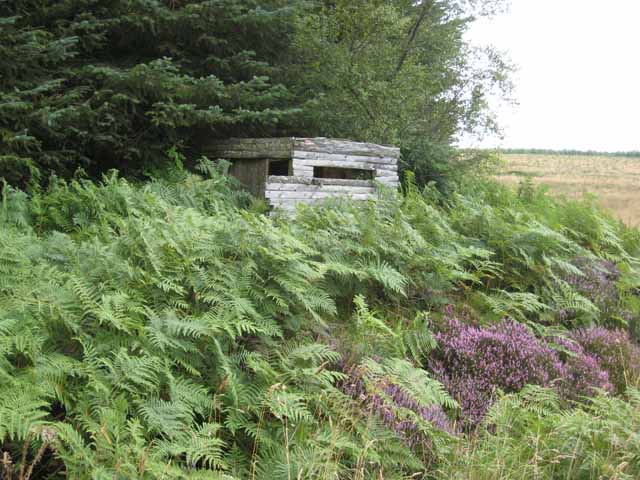
Rushy Knowe Images

Images are sourced within 2km of 55.224263/-2.0334861 or Grid Reference NY9792. Thanks to Geograph Open Source API. All images are credited.

Leehouse Linn
Leehouse Linn
Leehouse Linn
Leehouse Linn
Leehouse Linn
Leehouse Linn
Smiddy Linn An agreeable waterfall/cascade on Bellion Sike.  Sadly it's overgrown with trees.
Smiddy Linn
An agreeable waterfall/cascade on Bellion Sike. Sadly it's overgrown with trees.
Harwood Forest. Steng Moss This was a surprising 'find' in the middle of a plantation forest. A magical place.
Harwood Forest. Steng Moss
This was a surprising 'find' in the middle of a plantation forest. A magical place.
Leehouse Linn waterfall
Farmland near Eastnook Farm
Harwood Head Cottage set back from the Elsdon to Morpeth road.
Harwood Head
Cottage set back from the Elsdon to Morpeth road.
Forest road in Harwood Forest Harwood Forest is a coniferous forest first established in the 1950s.  Note the marshy vegetation in the ditch on the left hand side of the road.
Forest road in Harwood Forest
Harwood Forest is a coniferous forest first established in the 1950s. Note the marshy vegetation in the ditch on the left hand side of the road.
Forest colours, Harwood Forest Harwood Forest is a coniferous forest first established in the 1950s. A study in the subdued colours of the forest - light green bracken, dark green Sitka spruce, pink rosebay willowherb and purple heather.
Forest colours, Harwood Forest
Harwood Forest is a coniferous forest first established in the 1950s. A study in the subdued colours of the forest - light green bracken, dark green Sitka spruce, pink rosebay willowherb and purple heather.
Forest crossroads, Harewood Forest Harwood Forest is a coniferous forest first established in the 1950s.
Forest crossroads, Harewood Forest
Harwood Forest is a coniferous forest first established in the 1950s.
Shooting hide in Harwood Forest
Telecommunications mast, Manside Cross, Harwood Forest Harwood Forest is a coniferous forest first established in the 1950s. It seems the mast belongs to Amec wind generation company and is there to monitor only.
Telecommunications mast, Manside Cross, Harwood Forest
Harwood Forest is a coniferous forest first established in the 1950s. It seems the mast belongs to Amec wind generation company and is there to monitor only.
Stand of mature pine trees, Harwood Forest Harwood Forest is a coniferous forest first established in the 1950s.
Stand of mature pine trees, Harwood Forest
Harwood Forest is a coniferous forest first established in the 1950s.
Manside Cross The remains of a medieval cross, a Scheduled Ancient Monument, stand just outside the Iron Age settlement. The socket stone and a stone shaft survive. The shaft was probably reused in post-medieval times as a boundary stone as it is carved with modern initials. Manside Cross is first mentioned in the Border Survey of 1604 and also appears on later maps.
Manside Cross
The remains of a medieval cross, a Scheduled Ancient Monument, stand just outside the Iron Age settlement. The socket stone and a stone shaft survive. The shaft was probably reused in post-medieval times as a boundary stone as it is carved with modern initials. Manside Cross is first mentioned in the Border Survey of 1604 and also appears on later maps.
Gunner's Box Earthwork at the Gunner's Box Iron Age settlement near Manside Cross.
Gunner's Box
Earthwork at the Gunner's Box Iron Age settlement near Manside Cross.
Gunner's Box Possibly the base of a communication mast or fire lookout tower?
Gunner's Box
Possibly the base of a communication mast or fire lookout tower?
Gunner's Box Quarry near Gunner's Box in Harwood Forest.
Gunner's Box
Quarry near Gunner's Box in Harwood Forest.
Show me another place!

Rushy Knowe is located at Grid Ref: NY9792 (Lat: 55.224263, Lng: -2.0334861)

Unitary Authority: Northumberland

Police Authority: Northumbria

What 3 Words

///parsnips.establish.sweeten. Near Rothley, Northumberland

Nearby Locations

Harry's Wood Rushy Knowe

Related Wikis

Harwood Forest

Harwood Forest is a 3,527 hectares (8,720 acres) conifer plantation located to the south of Rothbury in North Northumberland, England, and managed by Forestry...

Elsdon Castle

Elsdon Castle is a castle in the village of Elsdon about 10 miles (16 km) to the southwest of Rothbury, in Northumberland, England, and also known as Mote...

Elsdon, Northumberland

Elsdon is a village and civil parish in the English county of Northumberland about 10 miles (16 km) to the southwest of Rothbury. The name is derived from...

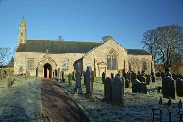
St Cuthbert's Church, Elsdon

St Cuthbert's Church is located in Elsdon, Alnwick, northeast England. The church was one of the resting places of St. Cuthbert's body in the wanderings...

Nearby Amenities

Located within 500m of 55.224263,-2.0334861
Manside Cross
Place: locality
Lat/Long: 55.2229121/-2.0259846
The data included in this document is from www.openstreetmap.org. The data is made available under ODbL.

Have you been to Rushy Knowe?

Leave your review of Rushy Knowe below (or comments, questions and feedback).