Billylaw

Hill, Mountain in Northumberland

England

Billylaw

Ground working, Ord Next year's crop being prepared.
Ground working, Ord Credit: Richard Webb

Billylaw is a prominent hill located in the county of Northumberland, England. Situated in the northern region of the county, Billylaw stands at an elevation of approximately 385 meters (1,263 feet) above sea level, making it one of the notable peaks in the area. The hill is part of the larger Pennines mountain range, which stretches across several counties in northern England.

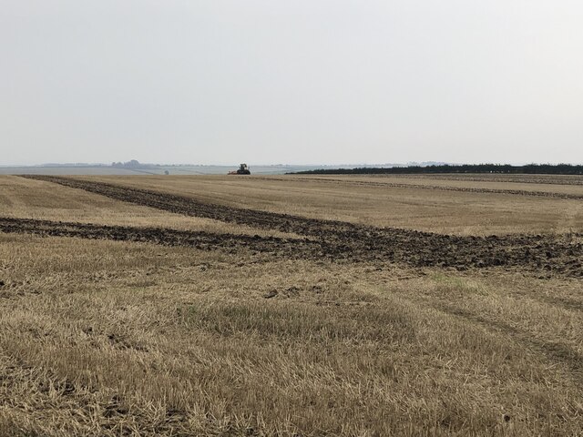
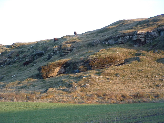
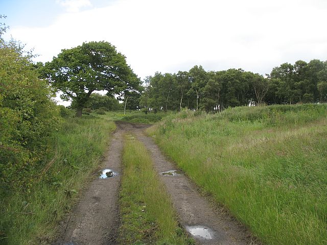
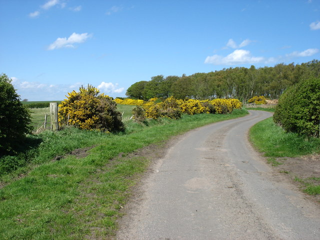
The terrain of Billylaw is characterized by rolling slopes and rocky outcrops, typical of the upland areas of Northumberland. The hill is predominantly covered in grasses and heather, providing a picturesque sight, especially during the summer months when the heather blooms, painting the landscape in vibrant hues of purple and pink.

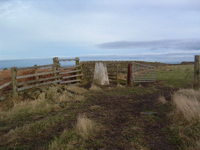
Billylaw offers stunning panoramic views of the surrounding countryside, with vistas extending as far as the eye can see. On clear days, visitors can admire the rugged beauty of the Northumberland National Park to the west and the Cheviot Hills to the north. The hill is also a popular spot for birdwatching, as it attracts a variety of bird species, including buzzards, kestrels, and peregrine falcons.

Access to Billylaw is relatively straightforward, with various footpaths and trails leading to the summit. Hikers and nature enthusiasts can embark on the enjoyable challenge of ascending the hill, soaking in the tranquility of the natural surroundings and appreciating the diverse wildlife that inhabits the area.

Overall, Billylaw in Northumberland offers a delightful opportunity for outdoor exploration, providing both locals and visitors alike with a chance to immerse themselves in the breathtaking landscapes and rich biodiversity of the region.

If you have any feedback on the listing, please let us know in the comments section below.
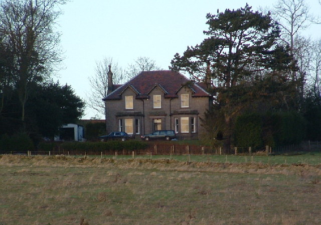
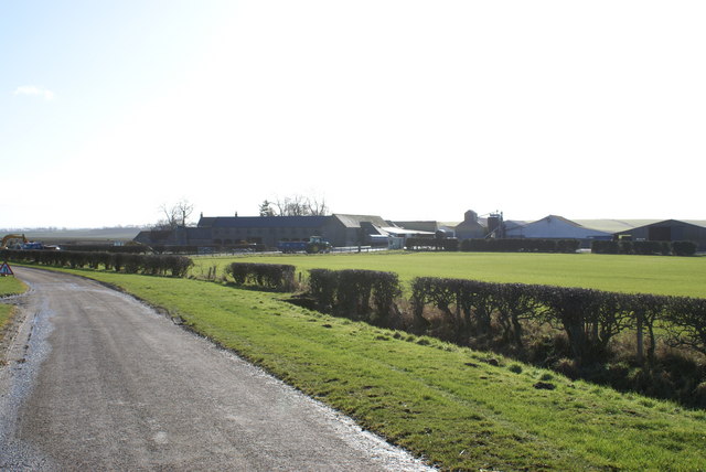
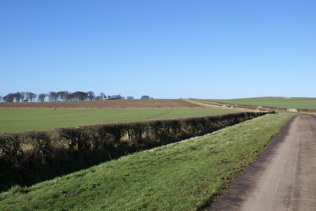
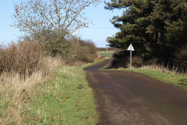
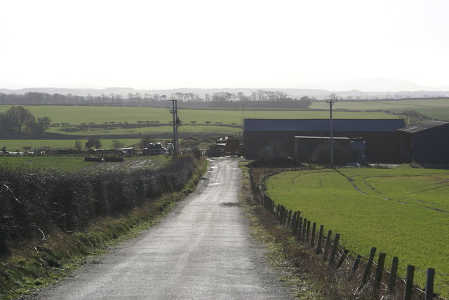
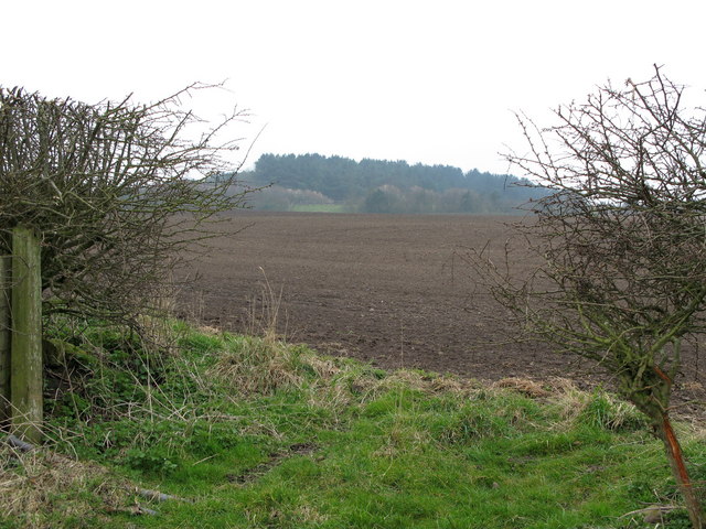
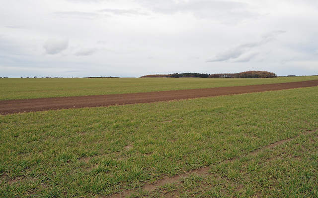
Billylaw Images

Images are sourced within 2km of 55.739128/-2.0338971 or Grid Reference NT9749. Thanks to Geograph Open Source API. All images are credited.

Ground working, Ord Next year's crop being prepared.
Ground working, Ord
Next year's crop being prepared.
Billylaw Farm An exposed site on the hilltop, but no roadside name sign. I'm sure the farm will look much more inviting on a sunny day.
Billylaw Farm
An exposed site on the hilltop, but no roadside name sign. I'm sure the farm will look much more inviting on a sunny day.
The Kells I don't know what "The Kells" means maybe it's farm speak for dump! The area lies between two arable fields but it is very boggy and has a small fenced off pond near the top. There is also a trig point at the very top.
The Kells
I don't know what "The Kells" means maybe it's farm speak for dump! The area lies between two arable fields but it is very boggy and has a small fenced off pond near the top. There is also a trig point at the very top.
Trig Point Billylaw Another Dalek turned to stone (well concrete) by Dr. Who!
Trig Point Billylaw
Another Dalek turned to stone (well concrete) by Dr. Who!
Murton Whitehouse No idea why "Whitehouse" because it ain't. Maybe at some time they thought they would gild the lily.
Murton Whitehouse
No idea why "Whitehouse" because it ain't. Maybe at some time they thought they would gild the lily.
Murton High Crags Cattle grazing peacefully on a sunny day, in the late afternoon. The "herd" said as he parked his quad and locked the gate "it's a lovely view", and that from a man who probably sees it every day!
Murton High Crags
Cattle grazing peacefully on a sunny day, in the late afternoon. The "herd" said as he parked his quad and locked the gate "it's a lovely view", and that from a man who probably sees it every day!
Murton Farm
Murton Farm
Road at Unthank
Road at Unthank
Unthank Mine There's little evidence of old mineworkings, it just looks like a farm.
Unthank Mine
There's little evidence of old mineworkings, it just looks like a farm.
Minewater Treatment Scheme, Allerdeanmill Burn An application for a minewater treatment scheme at Allerdeanmill Burn near Berwick was approved in July 2005. The scheme is required to treat polluted minewater currently being discharged into Allerdeanmill Burn from abandoned colliery workings associated with the Allerdean Colliery and the Blackhill Colliery.
Minewater Treatment Scheme, Allerdeanmill Burn
An application for a minewater treatment scheme at Allerdeanmill Burn near Berwick was approved in July 2005. The scheme is required to treat polluted minewater currently being discharged into Allerdeanmill Burn from abandoned colliery workings associated with the Allerdean Colliery and the Blackhill Colliery.
Heathery Tops Newly ploughed field, view towards Catchlaw Crag over the A1 near Scremerston.
Heathery Tops
Newly ploughed field, view towards Catchlaw Crag over the A1 near Scremerston.
Farmland with Camp Wood in the Distance
The Kells Woodland in summer. Motorbikes active near the top of the hill.
The Kells
Woodland in summer. Motorbikes active near the top of the hill.
B6354 junction Merton/Unthank near Berwick upon Tweed Poppies against stone wall with fine crop of Merton Farm thistles.
B6354 junction Merton/Unthank near Berwick upon Tweed
Poppies against stone wall with fine crop of Merton Farm thistles.
Sign for Merton Farm on B6354 junction Signpost for Merton and Horncliffe showing field of Rape in background with a fair infestation of thistles. Soon to be harvested.
Sign for Merton Farm on B6354 junction
Signpost for Merton and Horncliffe showing field of Rape in background with a fair infestation of thistles. Soon to be harvested.
Minor road to Middle Ord
Farmland south of Berwick-upon-Tweed
Show me another place!

Billylaw is located at Grid Ref: NT9749 (Lat: 55.739128, Lng: -2.0338971)

Unitary Authority: Northumberland

Police Authority: Northumbria

What 3 Words

///latches.greet.bearings. Near Berwick-Upon-Tweed, Northumberland

Related Wikis

Middle Ord

Middle Ord is a small hamlet, between West Ord and East Ord, and west of the town of Berwick upon Tweed, Northumberland England. The population as of March...

Ord, Northumberland

Ord is a civil parish in Northumberland, England. According to the 2001 census it had a population 1,365, increasing slightly to 1,374 at the 2011 Census...

East Ord

East Ord is a village in Northumberland, England about 2 miles (3 km) south west of Berwick Upon Tweed. It lies on the south bank of the River Tweed adjacent...

Longridge Towers School

Longridge Towers School is a non-selective co-educational independent day and boarding school in the parish of Horncliffe (formerly Longridge) near Berwick...

Nearby Amenities

Located within 500m of 55.739128,-2.0338971
Ele: 108
Natural: peak
Lat/Long: 55.739178/-2.0338285
Material: wood
Power: pole
Lat/Long: 55.739094/-2.0290884
Material: wood
Power: pole
Lat/Long: 55.7390748/-2.0285761
Material: wood
Power: pole
Lat/Long: 55.7397671/-2.0265014
Material: wood
Power: pole
Lat/Long: 55.7390302/-2.0271063
Material: wood
Power: pole
Lat/Long: 55.7383681/-2.0276468
Material: wood
Power: pole
Lat/Long: 55.7373209/-2.0284688
Material: wood
Power: pole
Lat/Long: 55.7367229/-2.0289087
Material: wood
Power: pole
Lat/Long: 55.7361279/-2.029362
Material: wood
Power: pole
Lat/Long: 55.7354461/-2.0296209
The data included in this document is from www.openstreetmap.org. The data is made available under ODbL.

Have you been to Billylaw?

Leave your review of Billylaw below (or comments, questions and feedback).