Hollyhill Wood

Wood, Forest in Northumberland

England

Hollyhill Wood

Former lodge near Sandhoe Impressive gate lodge, formerly marking the south entrance to Beaufront Castle. It is no longer functional, now just a very grand entrance to a field (though it is inhabited). Built by Joseph Hansom in c1870, Gothic with castellated parapet and a canted oriel window over the entrance. Grade II listed.
Former lodge near Sandhoe Credit: Stephen Richards

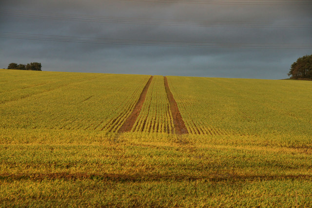
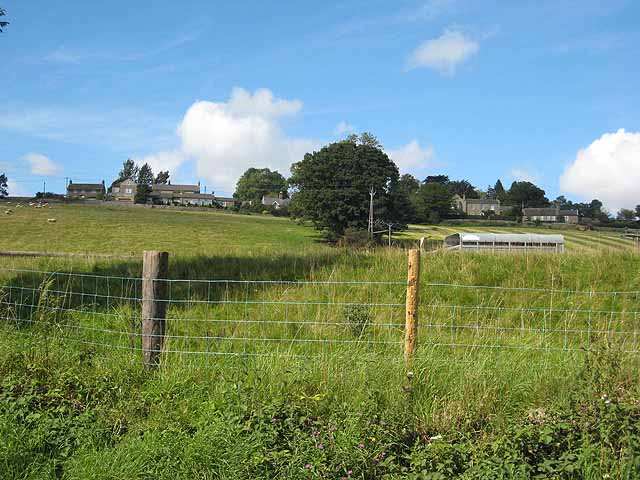
Hollyhill Wood is a charming forest located in the county of Northumberland, England. This woodland area covers an expansive area of approximately 300 acres, offering visitors a tranquil and picturesque setting to explore and unwind.

The wood is primarily composed of native British tree species, including oak, birch, and beech, which create a dense canopy providing shade and shelter for the diverse wildlife that inhabits the area. The forest floor is adorned with a rich carpet of ferns, bluebells, and wildflowers, adding to the natural beauty and enchantment of the woodland.

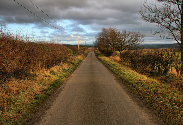
Hollyhill Wood is renowned for its walking trails, which wind through the forest, allowing visitors to fully immerse themselves in the peaceful surroundings. These trails cater to various fitness levels and interests, with options for leisurely strolls or more challenging hikes. Along the way, benches and picnic areas are strategically placed, providing opportunities to rest and soak in the breathtaking views.

Nature enthusiasts will be delighted by the abundance of wildlife thriving in Hollyhill Wood. Birdwatchers can spot a variety of species, including woodpeckers, nuthatches, and owls, while lucky visitors may even catch a glimpse of elusive red squirrels or deer roaming freely.

The wood is open to the public throughout the year, and there is no entrance fee, making it an accessible destination for all. Whether you are seeking solitude, a family outing, or an opportunity to reconnect with nature, Hollyhill Wood in Northumberland is a captivating and rewarding destination.

If you have any feedback on the listing, please let us know in the comments section below.

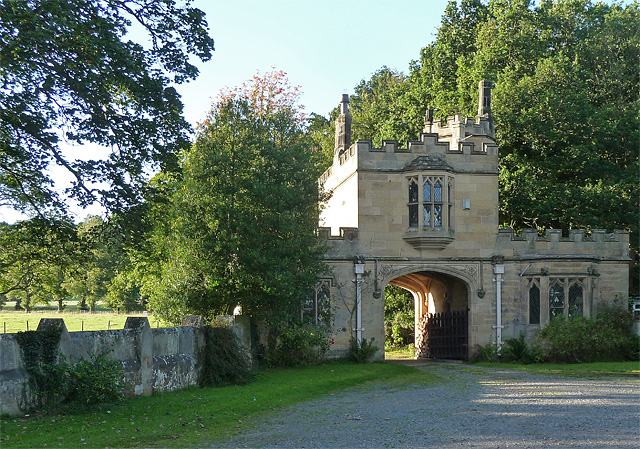
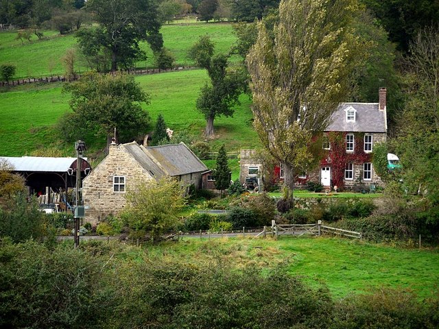
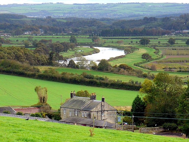
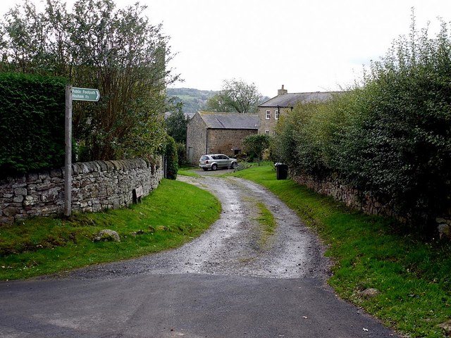
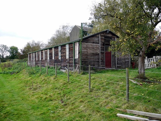
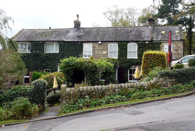
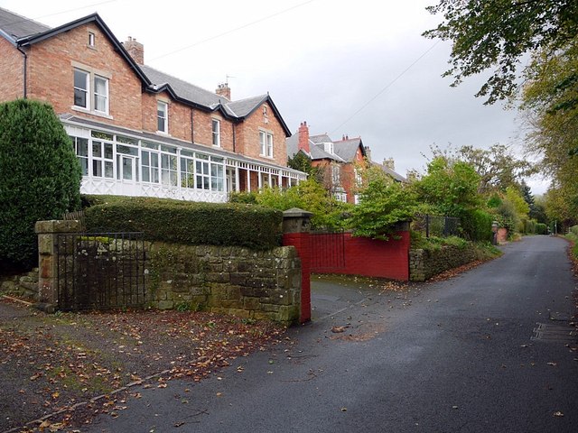
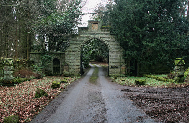
Hollyhill Wood Images

Images are sourced within 2km of 54.987996/-2.0523063 or Grid Reference NY9665. Thanks to Geograph Open Source API. All images are credited.

Former lodge near Sandhoe Impressive gate lodge, formerly marking the south entrance to Beaufront Castle. It is no longer functional, now just a very grand entrance to a field (though it is inhabited). Built by Joseph Hansom in c1870, Gothic with castellated parapet and a canted oriel window over the entrance. Grade II listed.
Former lodge near Sandhoe
Impressive gate lodge, formerly marking the south entrance to Beaufront Castle. It is no longer functional, now just a very grand entrance to a field (though it is inhabited). Built by Joseph Hansom in c1870, Gothic with castellated parapet and a canted oriel window over the entrance. Grade II listed.
Church of St Aidan, Stagshaw
Corbridge Roman Site [1] The museum, seen from the car park.  Details from English Heritage at:  <span class="nowrap"><a title="http://www.english-heritage.org.uk/daysout/properties/corbridge-roman-town-hadrians-wall/" rel="nofollow ugc noopener" href="http://www.english-heritage.org.uk/daysout/properties/corbridge-roman-town-hadrians-wall/">Link</a><img style="margin-left:2px;" alt="External link" title="External link - shift click to open in new window" src="https://s1.geograph.org.uk/img/external.png" width="10" height="10"/></span>
Corbridge Roman Site [1]
The museum, seen from the car park. Details from English Heritage at: LinkExternal link
Corbridge Roman Site [2] The remains of the town.  Details from English Heritage at:  <span class="nowrap"><a title="http://www.english-heritage.org.uk/daysout/properties/corbridge-roman-town-hadrians-wall/" rel="nofollow ugc noopener" href="http://www.english-heritage.org.uk/daysout/properties/corbridge-roman-town-hadrians-wall/">Link</a><img style="margin-left:2px;" alt="External link" title="External link - shift click to open in new window" src="https://s1.geograph.org.uk/img/external.png" width="10" height="10"/></span>
Corbridge Roman Site [2]
The remains of the town. Details from English Heritage at: LinkExternal link
Poppies Poppy fields off Corchester Lane near Corbridge.
Poppies
Poppy fields off Corchester Lane near Corbridge.
Bank Foot Photo taken from the road bridge over the A69 dual carriageway. There is a similar photo here <a href="https://www.geograph.org.uk/photo/617829">NY9565 : Bank Foot</a>
Bank Foot
Photo taken from the road bridge over the A69 dual carriageway. There is a similar photo here NY9565 : Bank Foot
Anick Grange above the Tyne valley
Track to Anick Farm and footpath to Hexham
Beaufront Women's Institute, Anick
The Rat Inn, Anick Originally a drovers inn built around 1750 but it is not recorded how the Rat Inn came by what must surely be one of the oddest names for an Inn in Britain. The locals offer several interesting theories: some say that it was a regular meeting place for all the local rat catchers; others say that the largest rat ever seen was caught here. Perhaps the most intriguing tale tells of the then ale keeper who gave information to the Crown during the Jacobite risings of 1715 and 1745 and thus became known as 'the Rat' <span class="nowrap"><a title="http://www.theratinn.com/" rel="nofollow ugc noopener" href="http://www.theratinn.com/">Link</a><img style="margin-left:2px;" alt="External link" title="External link - shift click to open in new window" src="https://s1.geograph.org.uk/img/external.png" width="10" height="10"/></span>
Received an 'Also Recommended' entry in the 2012 Good Food Guide <span class="nowrap"><a title="http://www.journallive.co.uk/north-east-taste/news-and-features/2011/09/16/north-pubs-fare-well-in-new-version-of-the-good-food-guide-61634-29429691/" rel="nofollow ugc noopener" href="http://www.journallive.co.uk/north-east-taste/news-and-features/2011/09/16/north-pubs-fare-well-in-new-version-of-the-good-food-guide-61634-29429691/">Link</a><img style="margin-left:2px;" alt="External link" title="External link - shift click to open in new window" src="https://s1.geograph.org.uk/img/external.png" width="10" height="10"/></span>
The sign above the door seems to have gone up-market too <a href="https://www.geograph.org.uk/photo/1463787">NY9565 : The Rat</a>
The Rat Inn, Anick
Originally a drovers inn built around 1750 but it is not recorded how the Rat Inn came by what must surely be one of the oddest names for an Inn in Britain. The locals offer several interesting theories: some say that it was a regular meeting place for all the local rat catchers; others say that the largest rat ever seen was caught here. Perhaps the most intriguing tale tells of the then ale keeper who gave information to the Crown during the Jacobite risings of 1715 and 1745 and thus became known as 'the Rat' LinkExternal link Received an 'Also Recommended' entry in the 2012 Good Food Guide LinkExternal link The sign above the door seems to have gone up-market too NY9565 : The Rat
From the train window Beaufront Castle can be seen in the distance high on the hill. The River Tyne is hidden beyond the fields in the foreground.
From the train window
Beaufront Castle can be seen in the distance high on the hill. The River Tyne is hidden beyond the fields in the foreground.
Sandhoe Hall Entrance to Sandhoe Hall.
Sandhoe Hall
Entrance to Sandhoe Hall.
Acomb Fell Fields on Acomb Fell near Fern Hill Farm.
Acomb Fell
Fields on Acomb Fell near Fern Hill Farm.
Holly Hall Holly Hall House.
Holly Hall
Holly Hall House.
Corburn Bridge The old bridge across Cor Burn.
Corburn Bridge
The old bridge across Cor Burn.
Hampstead Road above Hampstead.
Hampstead
Road above Hampstead.
Sandhoe Water trough at Sandhoe.
Sandhoe
Water trough at Sandhoe.
Show me another place!

Hollyhill Wood is located at Grid Ref: NY9665 (Lat: 54.987996, Lng: -2.0523063)

Unitary Authority: Northumberland

Police Authority: Northumbria

What 3 Words

///pulps.mountain.release. Near Corbridge, Northumberland

Related Wikis

Sandhoe Hall

Sandhoe Hall, also once known as Sandhoe House, is a 19th-century country house situated at Sandhoe, Northumberland. It is a Grade II listed building.The...

Beaufront Castle

Beaufront Castle is a privately owned 19th-century country house near Hexham, Northumberland, England. It is a Grade I listed building.A pele tower was...

Sandhoe

Sandhoe is a hamlet and civil parish in Northumberland, England. It lies about 3 kilometres (2 mi) northwest of Corbridge and 3 kilometres south of Hadrian...

Anick

Anick ( AY-nik) is a village and former civil parish, now in the parish of Sandhoe, in Northumberland, England, situated to the north of Hexham. In 1881...

Coria (Corbridge)

Coria was a fort and town 2.5 miles (4.0 km) south of Hadrian's Wall, in the Roman province of Britannia at a point where a big Roman north–south road...

Devil's Water

Devil's Water is a narrow, powerful river in Northumberland, England fed by many streams. A right-bank firmly north-flowing tributary of the Tyne, it ends...
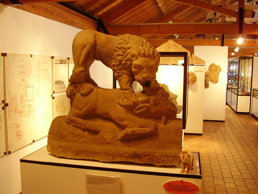
Corbridge Lion

The Corbridge Lion, Northumberland, England, is an ancient Roman free-standing sandstone sculpture of a male lion standing on a prone animal (possibly...

Corbridge Vicar's Pele

Corbridge Vicar's Pele is a pele tower in the village of Corbridge, Northumberland, England. It was a three-storey defensive pele tower, with one room...

Nearby Amenities

Located within 500m of 54.987996,-2.0523063
Sandhoe
Is In: UK, England, Northumberland, Tynevale
Is In Country Code: GB
Is In County: Northumberland
Place: hamlet
Source: NPE
Lat/Long: 54.9913821/-2.0476387
Post Box
Ref: NE46 4
Lat/Long: 54.9909442/-2.0483659
The data included in this document is from www.openstreetmap.org. The data is made available under ODbL.

Have you been to Hollyhill Wood?

Leave your review of Hollyhill Wood below (or comments, questions and feedback).