Rhododendron Wood
Wood, Forest in Northumberland
England
Rhododendron Wood
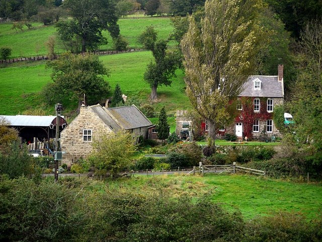
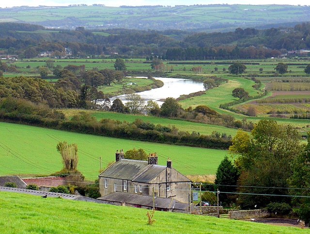
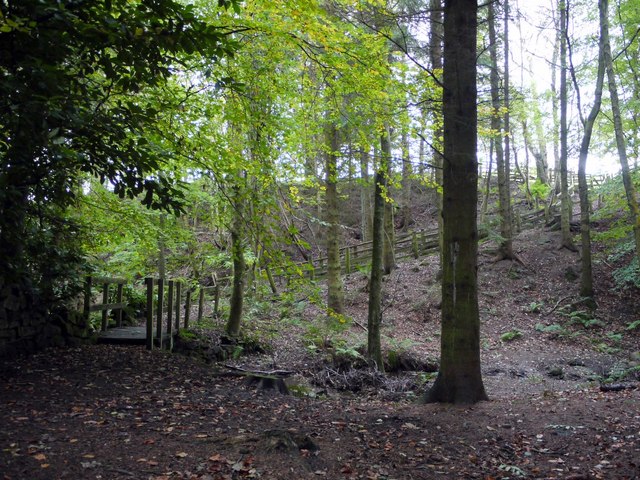
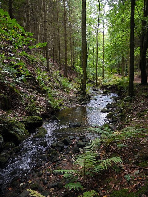
Rhododendron Wood, located in Northumberland, is a breathtaking forest that encompasses an area of remarkable natural beauty. Spanning across a vast expanse, this woodland is renowned for its abundant rhododendron plants, which dominate the landscape with their vibrant colors and lush foliage.
Situated in the heart of Northumberland National Park, Rhododendron Wood offers visitors a truly immersive experience in nature. The forest is home to a diverse range of plant and animal species, making it an ideal destination for nature enthusiasts and wildlife photographers. The woodland's dense canopy provides a habitat for numerous bird species, including woodpeckers, owls, and various songbirds.
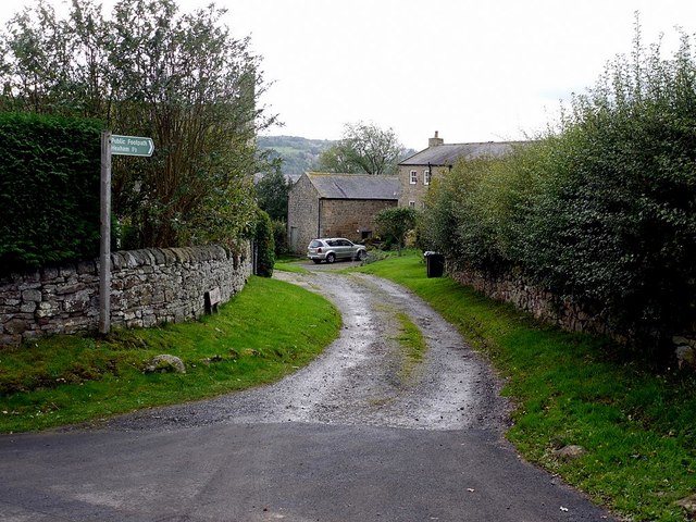
Beyond its natural splendor, Rhododendron Wood boasts a network of well-maintained trails that allow visitors to explore the area at their own pace. These paths wind through the forest, leading to picturesque viewpoints and tranquil spots, where one can immerse themselves in the serene atmosphere of the wood.
During the spring and summer months, the forest truly comes alive as the rhododendron plants burst into bloom, creating a vivid tapestry of colors. This spectacle attracts visitors from near and far, who flock to witness the stunning display of nature's beauty.
Rhododendron Wood also holds historical significance, with traces of ancient settlements and archaeological sites scattered throughout the area. These remnants provide a glimpse into the region's rich cultural heritage, adding an additional layer of intrigue to the wood's allure.
Overall, Rhododendron Wood in Northumberland is a captivating destination that seamlessly blends natural beauty, biodiversity, and historical significance. Whether one seeks a peaceful retreat, a chance to observe wildlife, or simply a stroll through a captivating forest, this woodland offers an unforgettable experience for all.
If you have any feedback on the listing, please let us know in the comments section below.
Rhododendron Wood Images
Images are sourced within 2km of 54.988109/-2.0601672 or Grid Reference NY9665. Thanks to Geograph Open Source API. All images are credited.


Rhododendron Wood is located at Grid Ref: NY9665 (Lat: 54.988109, Lng: -2.0601672)
Unitary Authority: Northumberland
Police Authority: Northumbria
What 3 Words
///lawns.skins.recording. Near Corbridge, Northumberland
Nearby Locations
Related Wikis
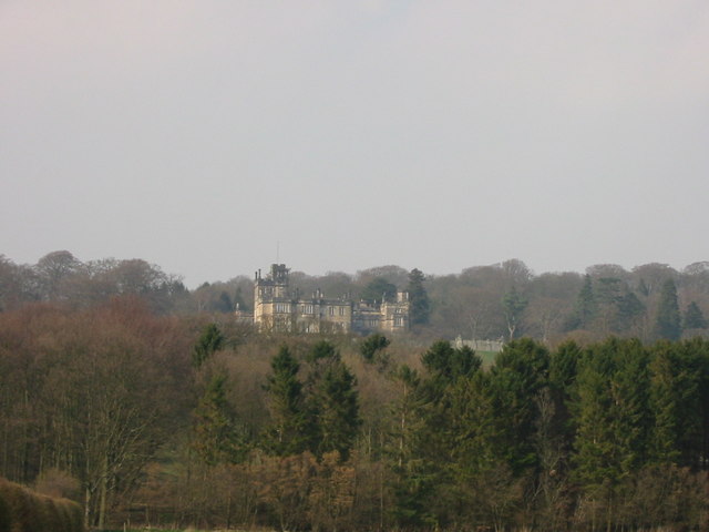
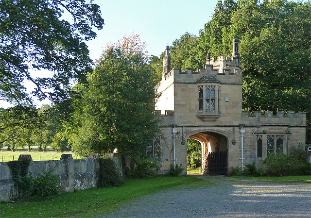
Beaufront Castle
Beaufront Castle is a privately owned 19th-century country house near Hexham, Northumberland, England. It is a Grade I listed building.A pele tower was...

Sandhoe Hall
Sandhoe Hall, also once known as Sandhoe House, is a 19th-century country house situated at Sandhoe, Northumberland. It is a Grade II listed building.The...

Sandhoe
Sandhoe is a hamlet and civil parish in Northumberland, England. It lies about 3 kilometres (2 mi) northwest of Corbridge and 3 kilometres south of Hadrian...
Anick
Anick ( AY-nik) is a village and former civil parish, now in the parish of Sandhoe, in Northumberland, England, situated to the north of Hexham. In 1881...

Devil's Water
Devil's Water is a narrow, powerful river in Northumberland, England fed by many streams. A right-bank firmly north-flowing tributary of the Tyne, it ends...

Coria (Corbridge)
Coria was a fort and town 2.5 miles (4.0 km) south of Hadrian's Wall, in the Roman province of Britannia at a point where a big Roman north–south road...
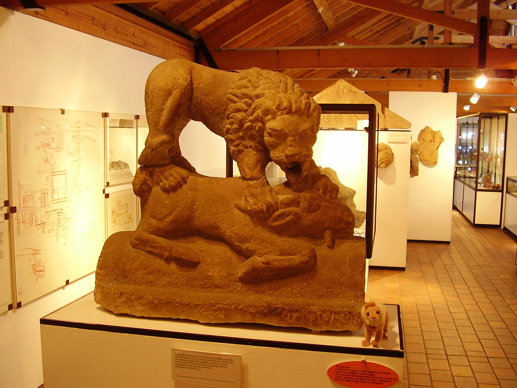
Corbridge Lion
The Corbridge Lion, Northumberland, England, is an ancient Roman free-standing sandstone sculpture of a male lion standing on a prone animal (possibly...
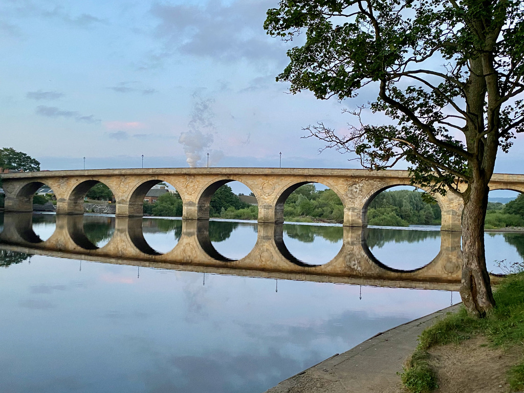
Hexham Bridge
Hexham Bridge is a road bridge in Northumberland, England linking Hexham with the North Tyne valley. It lies north of the town of Hexham and is the main...
Nearby Amenities
Located within 500m of 54.988109,-2.0601672Have you been to Rhododendron Wood?
Leave your review of Rhododendron Wood below (or comments, questions and feedback).