Crag Wood
Wood, Forest in Northumberland
England
Crag Wood
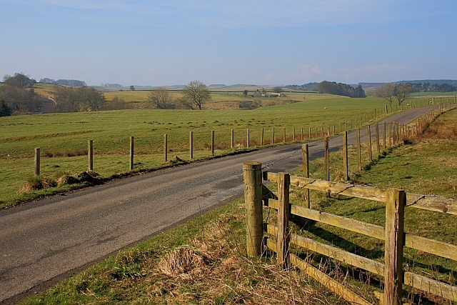
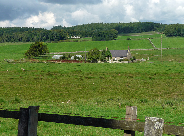
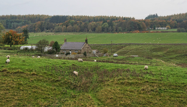
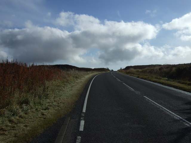
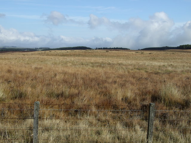
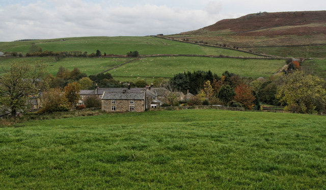
Crag Wood is a picturesque forest located in Northumberland, England. Covering an area of approximately 100 acres, it is renowned for its natural beauty and diverse flora and fauna. The wood is situated near the historic market town of Hexham and lies within the North Pennines Area of Outstanding Natural Beauty.
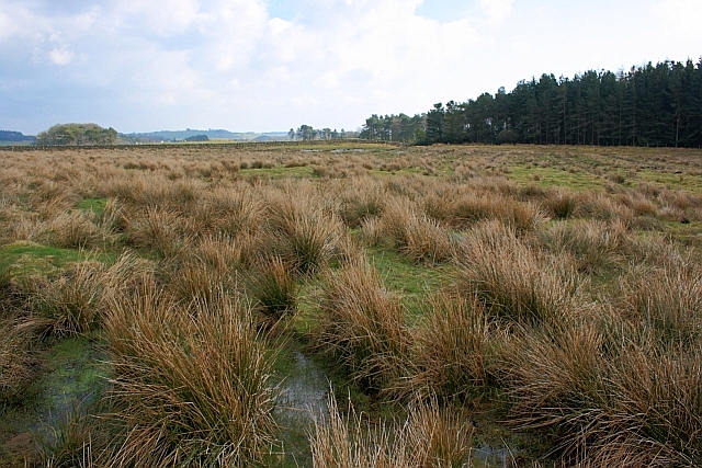
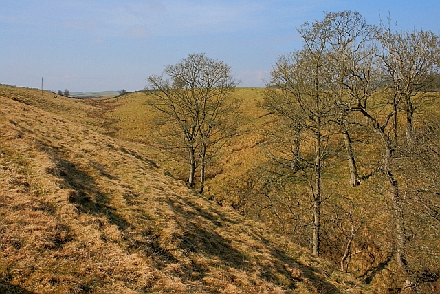
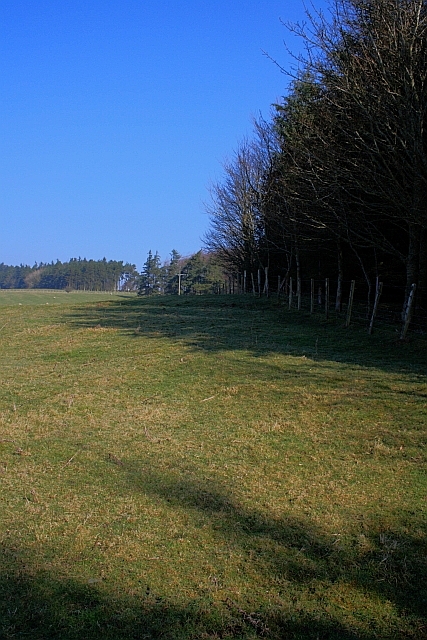
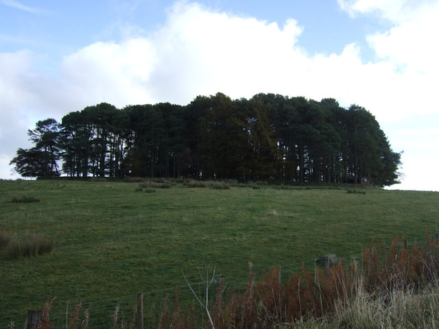
As visitors enter Crag Wood, they are immediately struck by the tranquility and serenity that permeates the area. The woodland is predominantly composed of mature broadleaf trees, including oak, ash, and beech, creating a dense canopy that provides shelter and shade for an array of wildlife.
The forest floor of Crag Wood is adorned with an assortment of wildflowers, such as bluebells, primroses, and wood anemones, which carpet the ground in vibrant hues during the springtime. This explosion of color, combined with the melodic chirping of birds and the gentle rustling of leaves, creates a truly enchanting atmosphere.
Nature enthusiasts will find an abundance of wildlife in Crag Wood. The forest is home to numerous bird species, including woodpeckers, owls, and warblers, delighting birdwatchers with their melodious songs and graceful flights. Small mammals like squirrels, badgers, and foxes can also be spotted amidst the woodland, adding to the area's rich biodiversity.
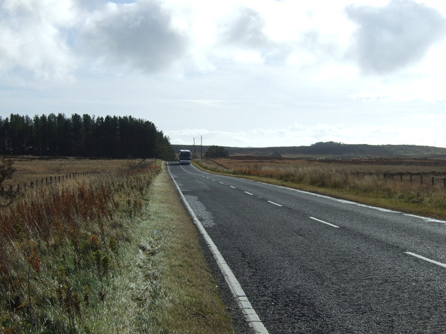
Crag Wood offers a variety of walking trails and paths, allowing visitors to explore its scenic beauty at their leisure. Whether it's a leisurely stroll or a more challenging hike, the wood caters to all abilities and provides ample opportunities for outdoor recreation.
In summary, Crag Wood is a captivating forest in Northumberland that showcases the natural splendor of the region. With its ancient trees, vibrant wildflowers, and diverse wildlife, it offers a truly immersive and unforgettable experience for nature lovers and outdoor enthusiasts alike.
If you have any feedback on the listing, please let us know in the comments section below.
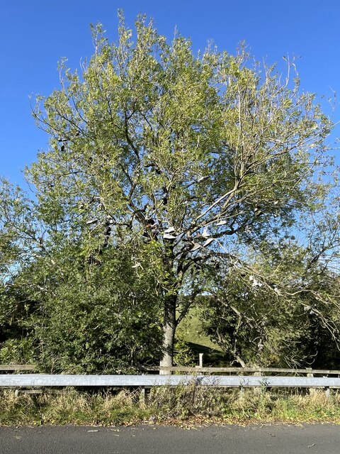
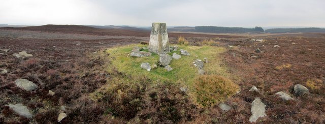
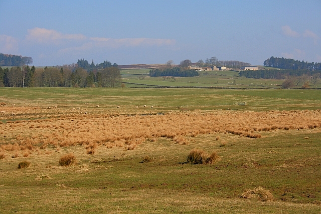
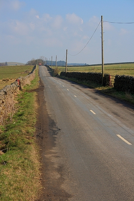
Crag Wood Images
Images are sourced within 2km of 55.170745/-2.0525465 or Grid Reference NY9686. Thanks to Geograph Open Source API. All images are credited.


Crag Wood is located at Grid Ref: NY9686 (Lat: 55.170745, Lng: -2.0525465)
Unitary Authority: Northumberland
Police Authority: Northumbria
What 3 Words
///tempting.fluctuate.typist. Near Corsenside, Northumberland
Nearby Locations
Related Wikis

Knowesgate railway station
Knowesgate was a stone-built railway station with goods sidings in Northumberland, England on the Wansbeck Railway between Morpeth and Reedsmouth, which...

Little Harle Tower
Little Harle Tower is a Grade II* listed privately owned country house with 15th-century origins, located at Little Harle, Kirkwhelpington, Northumberland...

Northumberland
Northumberland ( nor-THUM-bər-lənd) is a ceremonial county in North East England, bordering Scotland. It is bordered by the Scottish Borders to the north...

Kirkwhelpington
Kirkwhelpington is a village and civil parish in the English county of Northumberland about 13 miles (21 km) northeast of Hexham. It is on the River Wansbeck...
Sweethope Loughs
Sweethope Loughs are two freshwater lakes almost 1 mile (1.6 km) in length, the smaller one just east of the larger, in the southern part of Northumberland...

Cambo, Northumberland
Cambo is a village and former civil parish, now in the parish of Wallington Demesne, in Northumberland, England. It is about 11 miles (18 km) to the west...
Bavington Crags
Bavington Crags is a Site of Special Scientific Interest (SSSI) in north Northumberland, England. The site is an outcropping of the Whin Sill which gives...
East Woodburn
East Woodburn is a village located in Northumberland, England. Located on the A68 road just south of Darney Crag, it was created in conjunction with the...
Nearby Amenities
Located within 500m of 55.170745,-2.0525465Have you been to Crag Wood?
Leave your review of Crag Wood below (or comments, questions and feedback).