Kennel Wood
Wood, Forest in Cheshire
England
Kennel Wood
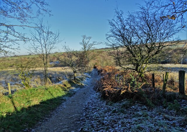
Kennel Wood is a picturesque forest located in the county of Cheshire, England. Covering an area of approximately 100 acres, it is a popular destination for nature enthusiasts and outdoor lovers alike.
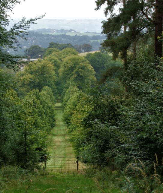
The wood is characterized by its diverse range of tree species, including oak, beech, ash, and birch. The dense canopy creates a shaded and tranquil atmosphere, making it an ideal spot for relaxation and contemplation. The forest floor is adorned with a carpet of vibrant wildflowers during the spring and summer months, adding to its natural beauty.
Visitors to Kennel Wood can explore a network of well-maintained trails that wind through the forest, providing ample opportunities for hiking, jogging, or leisurely strolls. Wildlife is abundant in the area, and lucky visitors may catch a glimpse of deer, foxes, rabbits, and a variety of bird species that call the wood their home.
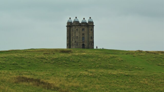
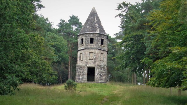
Historically, Kennel Wood was used as a hunting ground for the local nobility, and remnants of old gamekeepers' structures can still be found scattered throughout the area. These structures serve as a reminder of the wood's rich history and add an element of intrigue to the overall experience.
The forest is open to the public year-round, and amenities such as picnic areas and parking facilities are available for visitors' convenience. Kennel Wood offers a serene escape from the hustle and bustle of everyday life, providing an opportunity to connect with nature and enjoy the tranquility of this beautiful Cheshire woodland.
If you have any feedback on the listing, please let us know in the comments section below.
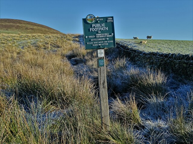
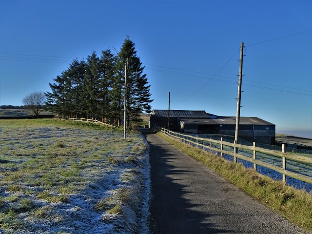
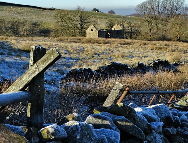
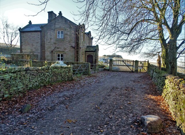
Kennel Wood Images
Images are sourced within 2km of 53.340407/-2.0503336 or Grid Reference SJ9682. Thanks to Geograph Open Source API. All images are credited.
Kennel Wood is located at Grid Ref: SJ9682 (Lat: 53.340407, Lng: -2.0503336)
Unitary Authority: Cheshire East
Police Authority: Cheshire
What 3 Words
///decimal.hopping.clerk. Near Disley, Cheshire
Nearby Locations
Related Wikis

Lyme Handley
Lyme Handley, sometimes known as Lyme, is a former civil parish, now in the parish of Kettleshulme and Lyme Handley, in between Disley and Stockport, in...

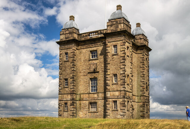
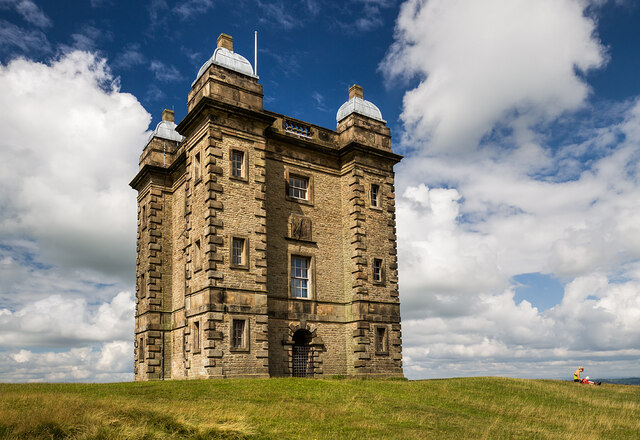
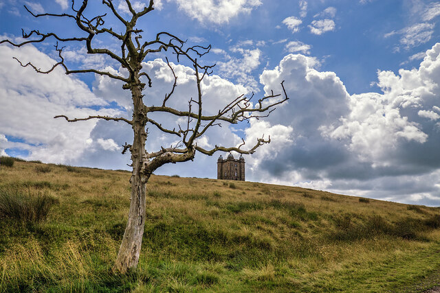
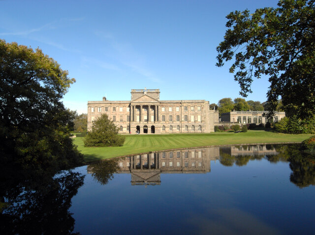
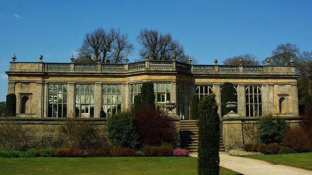
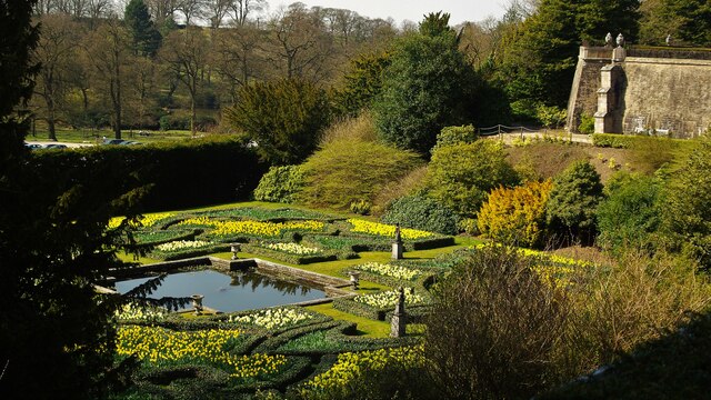
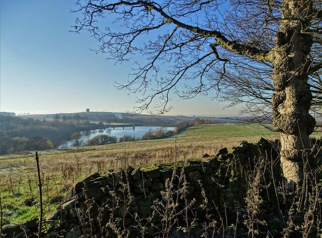
Lyme Park
Lyme Park is a large estate south of Disley, Cheshire, England, managed by the National Trust and consisting of a mansion house surrounded by formal gardens...

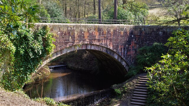
Bollinhurst Reservoir
The Bollinhurst Reservoir was constructed in Lyme Park in 1872 for the Stockport District Waterworks Company. At the time of the First World War, it had...

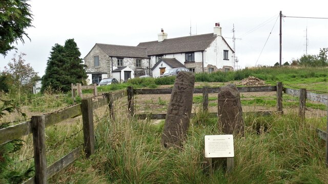
Bowstones
The Bowstones are a pair of Anglian cross shafts in Cheshire, England. Situated beside the old ridgeway between Disley and Macclesfield, overlooking Lyme...
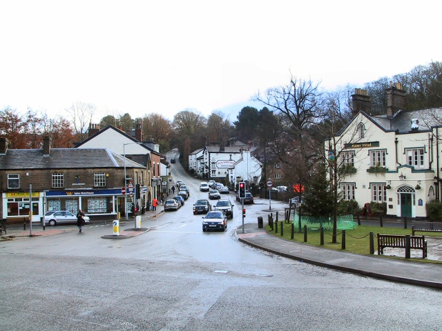
Disley
Disley is a village and civil parish in Cheshire, England. It is located on the edge of the Peak District in the Goyt valley, south of Stockport and close...

St Mary's Church, Disley
St Mary's Church is an Anglican parish church in the diocese of Chester, the archdeaconry of Macclesfield and the deanery of Chadkirk. It is on a hill...
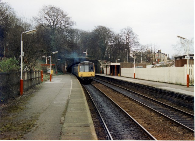
Disley railway station
Disley railway station serves the village of Disley in Cheshire, England. It is 12+1⁄3 miles (19.8 km) south east of Manchester Piccadilly on the Buxton...

Higher Poynton railway station
Higher Poynton was a railway station serving the eastern side of the town of Poynton in Cheshire, England. It was opened in 1869 by the Macclesfield, Bollington...
Nearby Amenities
Located within 500m of 53.340407,-2.0503336Have you been to Kennel Wood?
Leave your review of Kennel Wood below (or comments, questions and feedback).