Hampers Wood
Wood, Forest in Cheshire
England
Hampers Wood
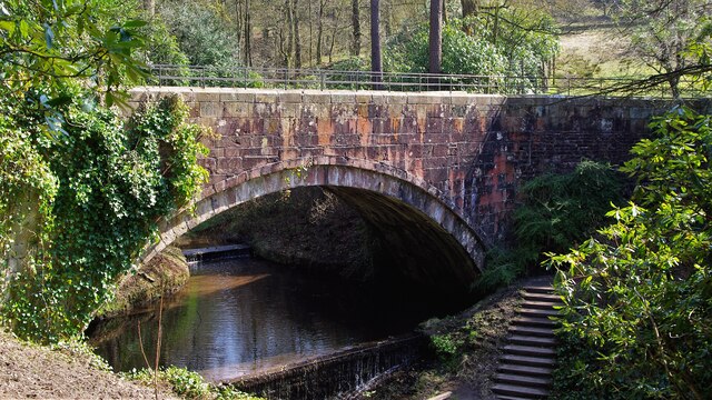
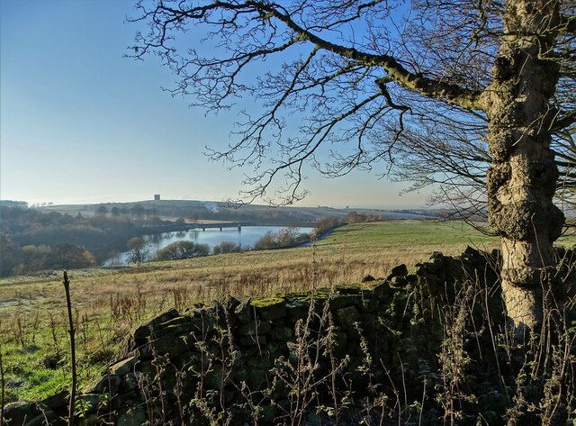
Hampers Wood is a picturesque woodland located in the county of Cheshire, England. Covering an area of approximately 50 acres, this enchanting forest is a popular destination for nature enthusiasts and outdoor adventurers alike. The wood is situated near the village of Hampers Green, providing a serene and tranquil escape from the hustle and bustle of urban life.
Hampers Wood boasts a diverse range of flora and fauna, making it a haven for wildlife. The forest is predominantly composed of broadleaf trees, such as oak, beech, and birch, which provide a lush and vibrant canopy. Bluebells and wild garlic carpet the forest floor during springtime, creating a breathtaking display of color and fragrance.
Visitors can explore the wood via a network of well-maintained footpaths and trails, allowing them to immerse themselves in the beauty of nature. The peaceful atmosphere and gentle rustling of leaves provide a calming ambiance, making it an ideal location for leisurely walks, picnics, and birdwatching.
In addition to its natural beauty, Hampers Wood also holds historical significance. The remains of an ancient Roman road, believed to be part of the historic Watling Street, can be found within the wood. This adds an intriguing element to the woodland, giving visitors an opportunity to connect with the past.
Overall, Hampers Wood is a captivating destination that offers a blend of natural beauty, tranquility, and historical interest. Whether you are seeking a peaceful retreat or a chance to explore the wonders of nature, this Cheshire woodland is sure to leave a lasting impression.
If you have any feedback on the listing, please let us know in the comments section below.
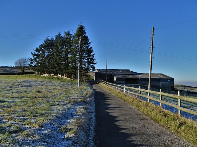
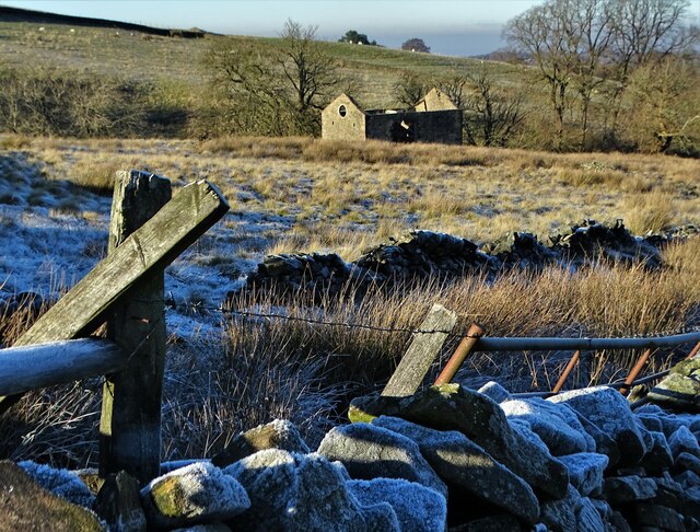
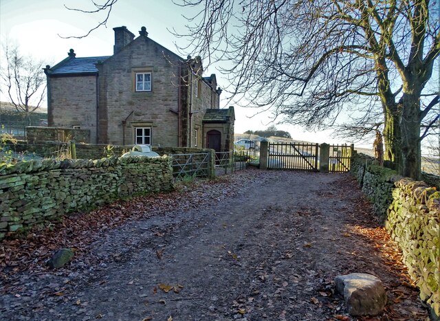
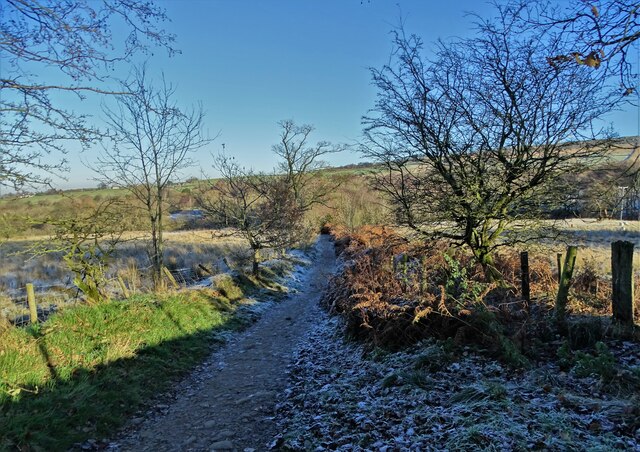
Hampers Wood Images
Images are sourced within 2km of 53.335859/-2.051034 or Grid Reference SJ9682. Thanks to Geograph Open Source API. All images are credited.

Hampers Wood is located at Grid Ref: SJ9682 (Lat: 53.335859, Lng: -2.051034)
Unitary Authority: Cheshire East
Police Authority: Cheshire
What 3 Words
///dirt.knots.disprove. Near Disley, Cheshire
Nearby Locations
Related Wikis

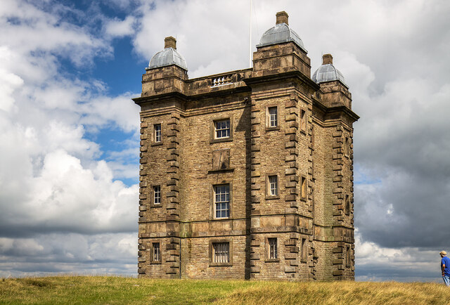
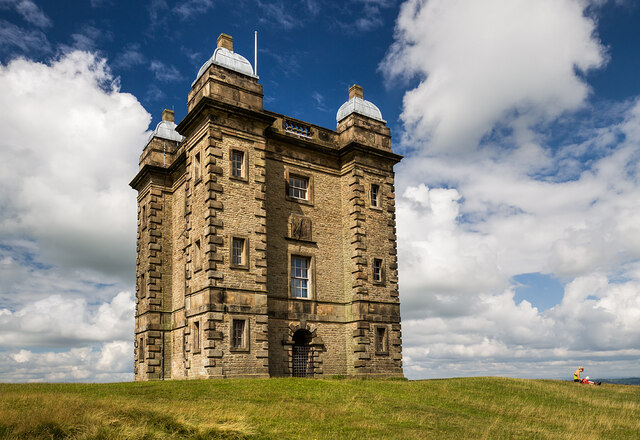
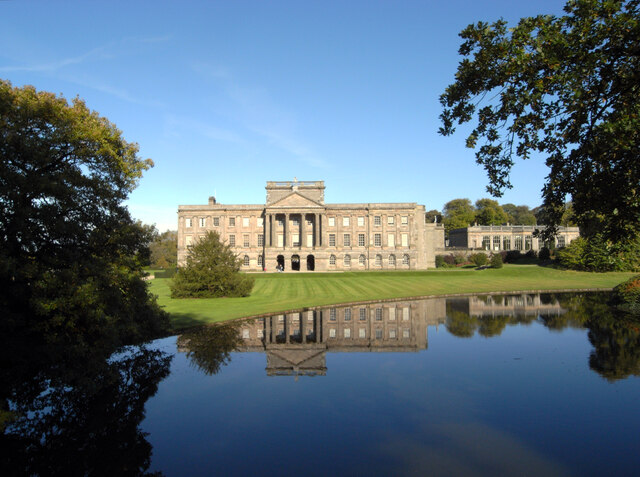
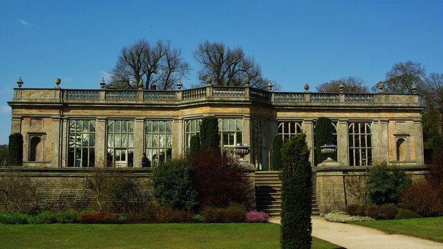
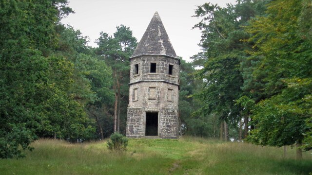
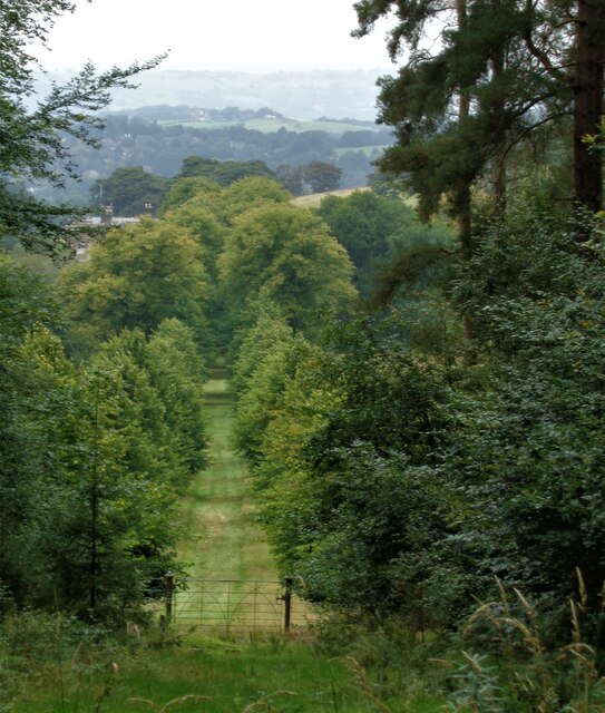
Lyme Park
Lyme Park is a large estate south of Disley, Cheshire, England, managed by the National Trust and consisting of a mansion house surrounded by formal gardens...

Lyme Handley
Lyme Handley, sometimes known as Lyme, is a former civil parish, now in the parish of Kettleshulme and Lyme Handley, in between Disley and Stockport, in...

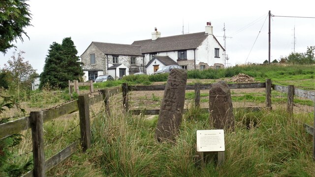
Bowstones
The Bowstones are a pair of Anglian cross shafts in Cheshire, England. Situated beside the old ridgeway between Disley and Macclesfield, overlooking Lyme...

Bollinhurst Reservoir
The Bollinhurst Reservoir was constructed in Lyme Park in 1872 for the Stockport District Waterworks Company. At the time of the First World War, it had...
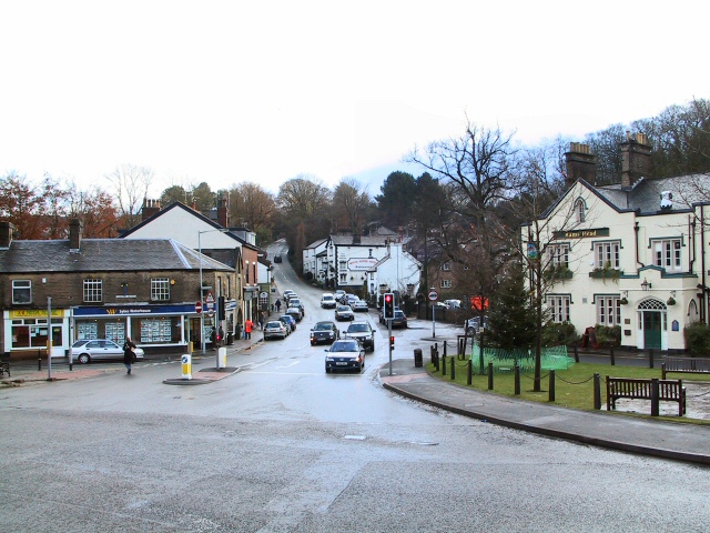
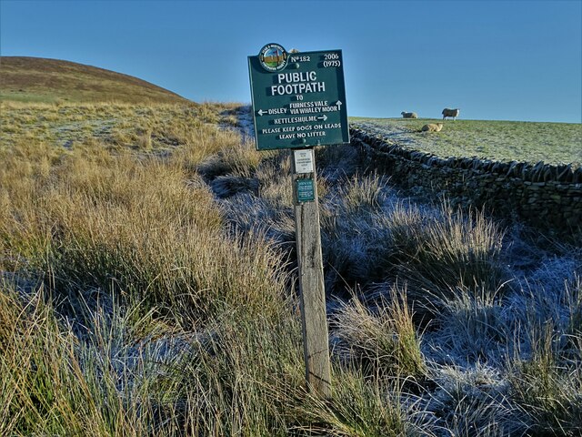
Disley
Disley is a village and civil parish in Cheshire, England. It is located on the edge of the Peak District in the Goyt valley, south of Stockport and close...

St Mary's Church, Disley
St Mary's Church is an Anglican parish church in the diocese of Chester, the archdeaconry of Macclesfield and the deanery of Chadkirk. It is on a hill...
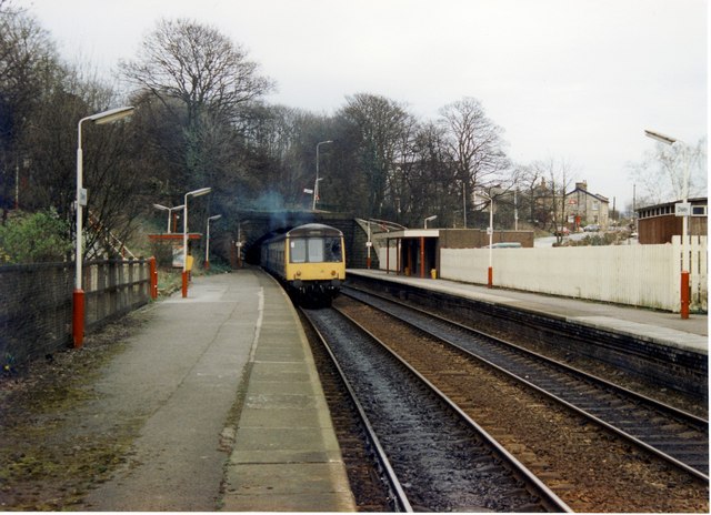
Disley railway station
Disley railway station serves the village of Disley in Cheshire, England. It is 12+1⁄3 miles (19.8 km) south east of Manchester Piccadilly on the Buxton...

Higher Poynton railway station
Higher Poynton was a railway station serving the eastern side of the town of Poynton in Cheshire, England. It was opened in 1869 by the Macclesfield, Bollington...
Nearby Amenities
Located within 500m of 53.335859,-2.051034Have you been to Hampers Wood?
Leave your review of Hampers Wood below (or comments, questions and feedback).