Crow Wood

Wood, Forest in Cheshire

England

Crow Wood

The Cage - Lyme Park  (1) -
Home Guard Observation Post: EDoB ID: e10317

Built originally as a hunting lodge or tower of c.1580, it was taken down in 1734 by George Platt and rebuilt by Peter Platt in 1737. Square in plan with square corner towers, it remains an imposing building in the Cheshire landscape. It was used as an Observation Post by the local Home Guard during the Second World War.

<a href="https://www.geograph.org.uk/photo/6944943">SJ9683 : The Cage - Lyme Park  (2)</a>
The Cage - Lyme Park (1) Credit: Mike Searle

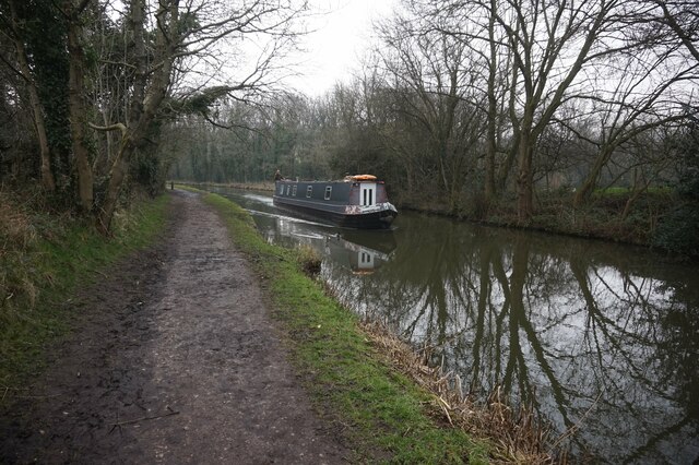
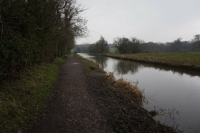
Crow Wood is a picturesque forest located in the county of Cheshire, England. Covering an area of approximately 100 acres, it is a popular destination for nature enthusiasts, hikers, and those seeking tranquility amidst the beauty of the natural world.

The wood is primarily composed of deciduous trees such as oak, beech, and birch, which form a dense canopy, providing shade and shelter for a wide variety of wildlife. Walking through Crow Wood, visitors can admire the vibrant colors of the changing seasons, from the fresh greens of spring to the golden hues of autumn.

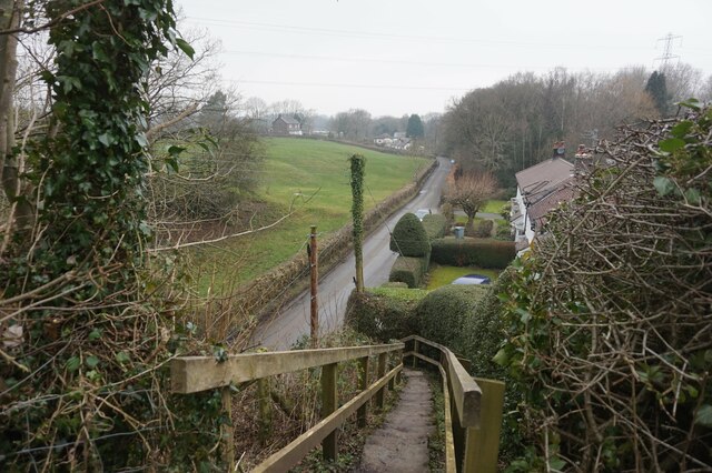
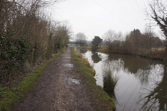
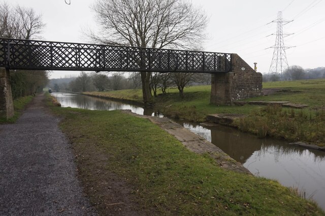
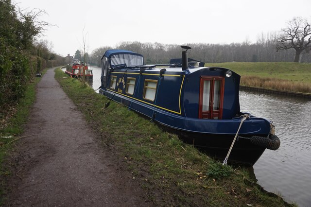
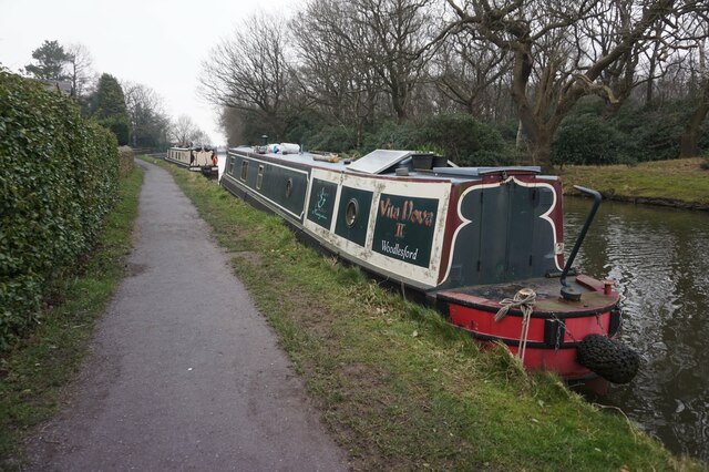
The forest features several well-maintained trails, allowing visitors to explore its diverse landscape. These paths wind through ancient woodland, meadows, and small streams, offering glimpses of the rich biodiversity the area supports. Birdwatchers will delight in the opportunity to spot a range of species, including woodpeckers, owls, and various songbirds.

Crow Wood is also home to an array of mammals, such as deer, foxes, and rabbits. Nature enthusiasts may come across their tracks or even catch a glimpse of these elusive creatures during their visit.

The wood offers a peaceful retreat from the hustle and bustle of daily life, providing a serene atmosphere for relaxation and contemplation. It is a place where individuals can reconnect with nature, breathe in the fresh air, and appreciate the wonders of the natural world.

Overall, Crow Wood in Cheshire is a captivating forest that invites visitors to immerse themselves in its beauty, explore its trails, and appreciate the diverse flora and fauna that call it home.

If you have any feedback on the listing, please let us know in the comments section below.

Crow Wood Images

Images are sourced within 2km of 53.34052/-2.0595853 or Grid Reference SJ9682. Thanks to Geograph Open Source API. All images are credited.

The Cage - Lyme Park  (1) -
Home Guard Observation Post: EDoB ID: e10317

Built originally as a hunting lodge or tower of c.1580, it was taken down in 1734 by George Platt and rebuilt by Peter Platt in 1737. Square in plan with square corner towers, it remains an imposing building in the Cheshire landscape. It was used as an Observation Post by the local Home Guard during the Second World War.

<a href="https://www.geograph.org.uk/photo/6944943">SJ9683 : The Cage - Lyme Park  (2)</a>
The Cage - Lyme Park (1)
- Home Guard Observation Post: EDoB ID: e10317 Built originally as a hunting lodge or tower of c.1580, it was taken down in 1734 by George Platt and rebuilt by Peter Platt in 1737. Square in plan with square corner towers, it remains an imposing building in the Cheshire landscape. It was used as an Observation Post by the local Home Guard during the Second World War. SJ9683 : The Cage - Lyme Park (2)
The Cage - Lyme Park  (2) -
Home Guard Observation Post: EDoB ID: e10317

<a href="https://www.geograph.org.uk/photo/6944962">SJ9683 : The Cage - Lyme Park (3)</a>
The Cage - Lyme Park (2)
- Home Guard Observation Post: EDoB ID: e10317 SJ9683 : The Cage - Lyme Park (3)
The Cage - Lyme Park (3) -
Home Guard Observation Post: EDoB ID: e10317

<a href="https://www.geograph.org.uk/photo/6944939">SJ9683 : The Cage - Lyme Park  (1)</a>
The Cage - Lyme Park (3)
- Home Guard Observation Post: EDoB ID: e10317 SJ9683 : The Cage - Lyme Park (1)
Lyme Hall Lyme Park is a large estate located south of Disley, Cheshire, England. It is owned and administered by the National Trust with financial support from Stockport Metropolitan Borough Council.

The estate consists of a mansion house, dating from the latter part of the 16th century, surrounded by formal gardens set within in a large park. The estate was granted to Sir Thomas Danyers in 1346 and passed to the Leghs of Lyme by marriage in 1388. It remained in their possession until 1946 when it was given to the National Trust.

The house is the largest in Cheshire, and has been designated by English Heritage as a Grade I listed building. The surrounding gardens and park are listed at Grade II* in the National Register of Historic Parks and Gardens.

<span class="nowrap"><a title="http://www.nationaltrust.org.uk/lyme-park/" rel="nofollow ugc noopener" href="http://www.nationaltrust.org.uk/lyme-park/">Link</a><img style="margin-left:2px;" alt="External link" title="External link - shift click to open in new window" src="https://s1.geograph.org.uk/img/external.png" width="10" height="10"/></span> - Lyme Park House and Garden, official National Trust site
<span class="nowrap"><a title="http://en.wikipedia.org/wiki/Lyme_Park" rel="nofollow ugc noopener" href="http://en.wikipedia.org/wiki/Lyme_Park">Link</a><img style="margin-left:2px;" alt="External link" title="External link - shift click to open in new window" src="https://s1.geograph.org.uk/img/external.png" width="10" height="10"/></span> - Wikipedia article
Lyme Hall
Lyme Park is a large estate located south of Disley, Cheshire, England. It is owned and administered by the National Trust with financial support from Stockport Metropolitan Borough Council. The estate consists of a mansion house, dating from the latter part of the 16th century, surrounded by formal gardens set within in a large park. The estate was granted to Sir Thomas Danyers in 1346 and passed to the Leghs of Lyme by marriage in 1388. It remained in their possession until 1946 when it was given to the National Trust. The house is the largest in Cheshire, and has been designated by English Heritage as a Grade I listed building. The surrounding gardens and park are listed at Grade II* in the National Register of Historic Parks and Gardens. LinkExternal link - Lyme Park House and Garden, official National Trust site LinkExternal link - Wikipedia article
The Boars Head The Boars Head public house.
The Boars Head
The Boars Head public house.
Brookbank House
Brookbank House
Red Legg Farm
Red Legg Farm
Macclesfield Canal by Hilltop Farm
Macclesfield Canal towards bridge #17
Canal boat Carbis, Macclesfield Canal
Macclesfield Canal at bridge #17
Macclesfield Canal towards bridge #16
Steps down to Shrigley Road Taken from the Macclesfield Canal.
Steps down to Shrigley Road
Taken from the Macclesfield Canal.
Macclesfield Canal towards bridge #16
Macclesfield Canal at bridge #16
Macclesfield Canal towards bridge #15
Canal boat Lady Joan, Macclesfield Canal
Canal boat Vita Nova II, Macclesfield Canal
Show me another place!

Crow Wood is located at Grid Ref: SJ9682 (Lat: 53.34052, Lng: -2.0595853)

Unitary Authority: Cheshire East

Police Authority: Cheshire

What 3 Words

///shifts.cups.wanted. Near Disley, Cheshire

Related Wikis

Lyme Handley

Lyme Handley, sometimes known as Lyme, is a former civil parish, now in the parish of Kettleshulme and Lyme Handley, in between Disley and Stockport, in...
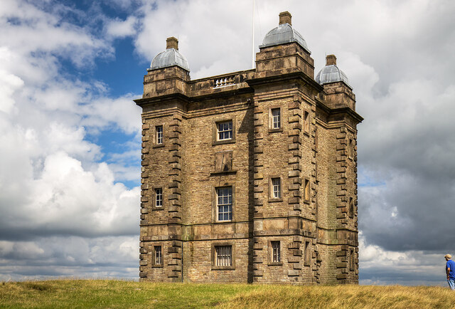
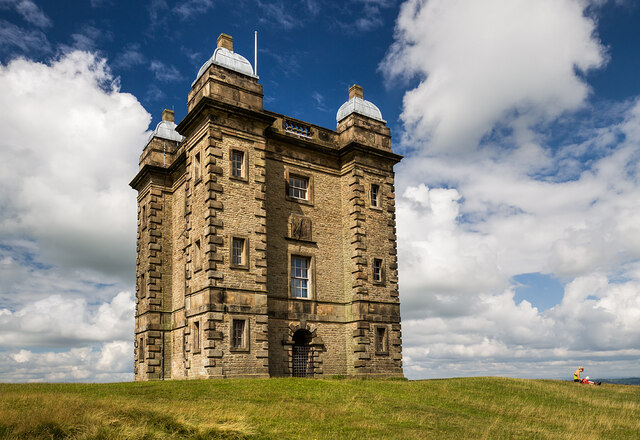
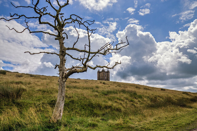
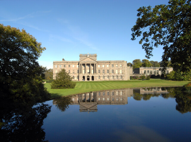
Lyme Park

Lyme Park is a large estate south of Disley, Cheshire, England, managed by the National Trust and consisting of a mansion house surrounded by formal gardens...

Bollinhurst Reservoir

The Bollinhurst Reservoir was constructed in Lyme Park in 1872 for the Stockport District Waterworks Company. At the time of the First World War, it had...

Bowstones

The Bowstones are a pair of Anglian cross shafts in Cheshire, England. Situated beside the old ridgeway between Disley and Macclesfield, overlooking Lyme...

Higher Poynton railway station

Higher Poynton was a railway station serving the eastern side of the town of Poynton in Cheshire, England. It was opened in 1869 by the Macclesfield, Bollington...

Disley

Disley is a village and civil parish in Cheshire, England. It is located on the edge of the Peak District in the Goyt valley, south of Stockport and close...

Anson Engine Museum

The Anson Engine Museum is situated on the site of the old Anson colliery in Poynton, Cheshire, England. It is the work of Les Cawley and Geoff Challinor...

Disley railway station

Disley railway station serves the village of Disley in Cheshire, England. It is 12+1⁄3 miles (19.8 km) south east of Manchester Piccadilly on the Buxton...

Nearby Amenities

Located within 500m of 53.34052,-2.0595853
Toilets
Lat/Long: 53.3390547/-2.0525184
Barrier: cattle_grid
Motorcar: permissive
Motorcycle: permissive
Lat/Long: 53.3372953/-2.0585585
Cafe
Timber Yard Café
Lat/Long: 53.3401246/-2.0583261
Toilets
Male: yes
Toilets Disposal: flush
Lat/Long: 53.3398956/-2.0585671
Access: no
Barrier: stile
Foot: designated
Material: stone
Step Count: 2
Stile: stepover
Lat/Long: 53.3438989/-2.0634185
Barrier: stile
Lat/Long: 53.3379758/-2.0599982
Bus Stop
Lyme Country Park, Lyme Hall
Bus: yes
Naptan AtcoCode: 0600MA0467
Naptan Bearing: NE
Naptan BusStopType: CUS
Naptan CommonName: Lyme Hall
Naptan Indicator: nr
Naptan Landmark: Lyme Hall
Naptan LocalityName: Lyme Country Park
Naptan NaptanCode: chegagm
Naptan ShortCommonName: Lyme Hall
Naptan Street: Car Park
Naptan Verified: no
Network: Cheshire East Council
Operator: Ansa Transport
Public Transport: platform
Source: naptan_import
Lat/Long: 53.3384893/-2.056725
Barrier: stile
Lat/Long: 53.3426125/-2.0579251
Fountain
Lat/Long: 53.3384432/-2.0533114
Barrier: kissing_gate
Lat/Long: 53.3405017/-2.057993
Timber Yard Shop
Shop: gift
Lat/Long: 53.3399266/-2.0586289
Information: office
Operator: National Trust
Tourism: information
Lat/Long: 53.3383906/-2.0564597
Access: no
Barrier: stile
Foot: designated
Handrail: right
Material: wood
Step Count: 7
Stile: ladder
Lat/Long: 53.3393516/-2.0655295
Wellhead
HE Ref: 1231916
Drinking Water: no
Heritage: 2
Heritage Operator: Historic England
Historic: heritage
Listed Status: Grade II
Man Made: water_well
Operator: National Trust
Ref GB Nhle: 1231916
Start Date: C18
Website: https://historicengland.org.uk/listing/the-list/list-entry/1231916
Lat/Long: 53.3381216/-2.0547709
Barrier: stile
Material: wood
Step Count: 2
Stile: stepover
Lat/Long: 53.3419001/-2.0646413
Bicycle Parking
Bicycle Parking: stands
Capacity: 8
Lat/Long: 53.3382774/-2.056457
Bicycle Parking
Bicycle Parking: stands
Capacity: 6
Lat/Long: 53.3400527/-2.05869
Cafe
The Kiosk
Operator: National Trust
Takeaway: only
Lat/Long: 53.3383384/-2.0564703
Barrier: cattle_grid
Lat/Long: 53.3401298/-2.0580428
Leisure: picnic_table
Lat/Long: 53.3375348/-2.0576231
Leisure: picnic_table
Lat/Long: 53.337536/-2.0573421
Leisure: picnic_table
Lat/Long: 53.3375316/-2.0571638
Leisure: picnic_table
Lat/Long: 53.3374475/-2.0576218
Leisure: picnic_table
Lat/Long: 53.3375264/-2.0569599
Toilets
Female: yes
Toilets Disposal: flush
Lat/Long: 53.3398967/-2.0586034
Leisure: outdoor_seating
Lat/Long: 53.3400753/-2.0585335
Clock
Description: double sundial replica of one from 1683
Display: sundial
Start Date: 2005
Support: pedestal
Lat/Long: 53.3381541/-2.0539905
The data included in this document is from www.openstreetmap.org. The data is made available under ODbL.

Have you been to Crow Wood?

Leave your review of Crow Wood below (or comments, questions and feedback).