Black Down
Downs, Moorland in Northumberland
England
Black Down
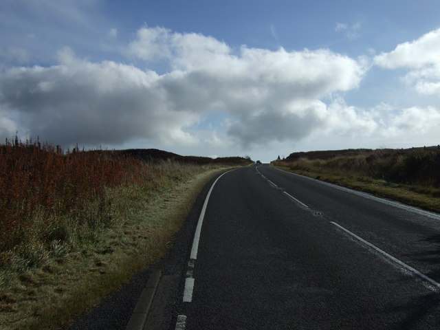
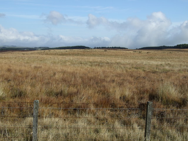
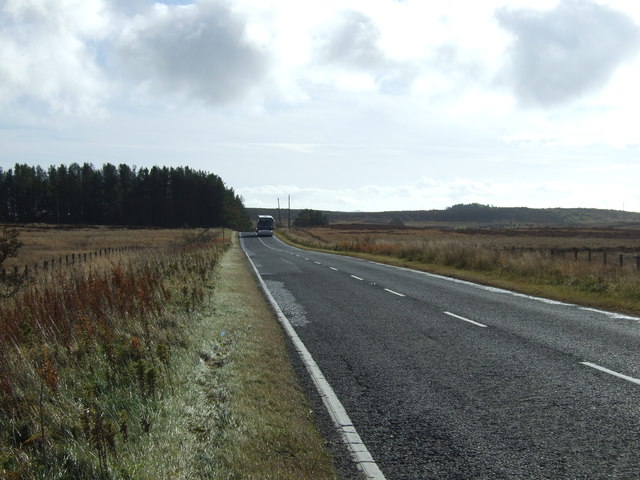
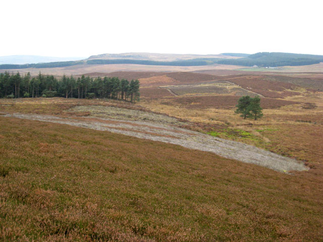
Black Down is a prominent feature located in the county of Northumberland, England. It is a vast expanse of moorland and downs that stretches across an area of approximately 12 square kilometers. Situated within the Northumberland National Park, this rugged terrain offers visitors a unique and diverse landscape to explore.
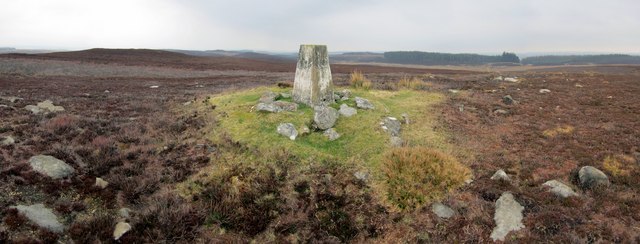
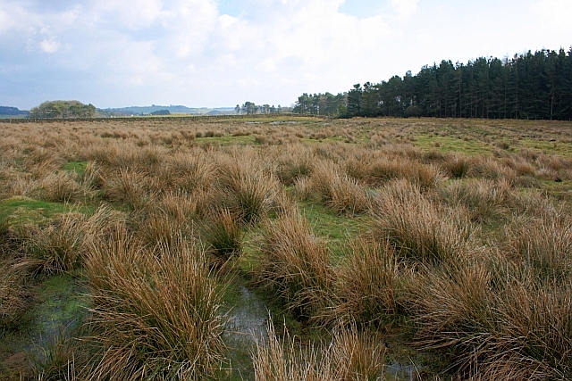
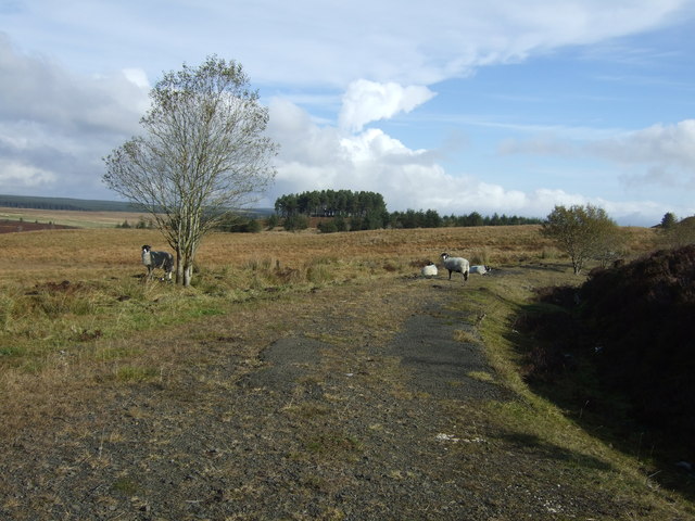
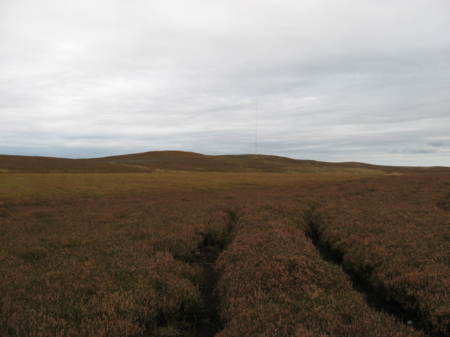
The moorland of Black Down is characterized by its wild and untamed beauty. Its rolling hills and wide open spaces are covered in heather, which transforms the landscape into a vibrant purple hue during the summer months. The area is also home to a variety of wildlife, including birds of prey such as kestrels and buzzards, as well as native species like red grouse.
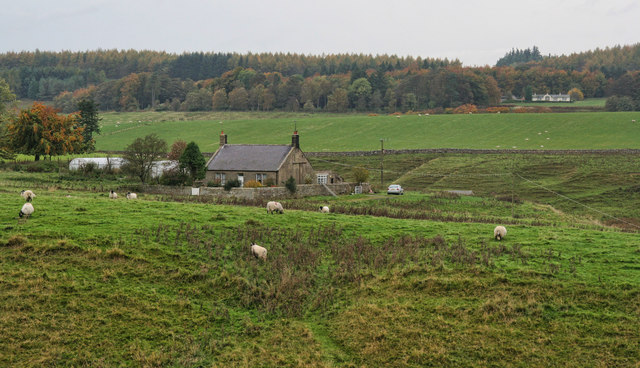
In addition to its natural beauty, Black Down offers breathtaking panoramic views of the surrounding countryside. On a clear day, visitors can see as far as the Cheviot Hills to the north and the Pennines to the south. The site is popular with hikers and nature enthusiasts, who can explore the numerous walking trails that crisscross the area. One of the most popular routes is the Pennine Way, which passes through Black Down on its journey from Edale in the Peak District to Kirk Yetholm in the Scottish Borders.
Black Down is steeped in history and has several archaeological sites of interest. The remnants of ancient settlements and burial mounds can be found scattered across the moorland, providing a glimpse into the area's past.
Overall, Black Down in Northumberland offers visitors a chance to immerse themselves in the beauty of nature, with its stunning views, diverse wildlife, and rich history.
If you have any feedback on the listing, please let us know in the comments section below.
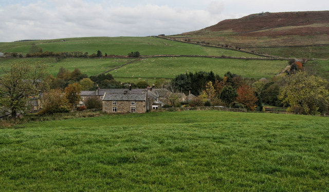
Black Down Images
Images are sourced within 2km of 55.173724/-2.0616094 or Grid Reference NY9686. Thanks to Geograph Open Source API. All images are credited.


Black Down is located at Grid Ref: NY9686 (Lat: 55.173724, Lng: -2.0616094)
Unitary Authority: Northumberland
Police Authority: Northumbria
What 3 Words
///merit.flicks.glorified. Near Corsenside, Northumberland
Nearby Locations
Related Wikis

Knowesgate railway station
Knowesgate was a stone-built railway station with goods sidings in Northumberland, England on the Wansbeck Railway between Morpeth and Reedsmouth, which...

Little Harle Tower
Little Harle Tower is a Grade II* listed privately owned country house with 15th-century origins, located at Little Harle, Kirkwhelpington, Northumberland...

Northumberland
Northumberland ( nor-THUM-bər-lənd) is a ceremonial county in North East England, bordering Scotland. It is bordered by the Scottish Borders to the north...

Kirkwhelpington
Kirkwhelpington is a village and civil parish in the English county of Northumberland about 13 miles (21 km) northeast of Hexham. It is on the River Wansbeck...
Sweethope Loughs
Sweethope Loughs are two freshwater lakes almost 1 mile (1.6 km) in length, the smaller one just east of the larger, in the southern part of Northumberland...
East Woodburn
East Woodburn is a village located in Northumberland, England. Located on the A68 road just south of Darney Crag, it was created in conjunction with the...
Bavington Crags
Bavington Crags is a Site of Special Scientific Interest (SSSI) in north Northumberland, England. The site is an outcropping of the Whin Sill which gives...

Woodburn railway station
Woodburn was a stone-built railway station with substantial goods sidings in Northumberland, on the Wansbeck Railway between Morpeth and Reedsmouth. It...
Nearby Amenities
Located within 500m of 55.173724,-2.0616094Have you been to Black Down?
Leave your review of Black Down below (or comments, questions and feedback).