Fernham Wood
Wood, Forest in Wiltshire
England
Fernham Wood
The requested URL returned error: 429 Too Many Requests
If you have any feedback on the listing, please let us know in the comments section below.
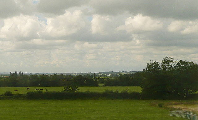
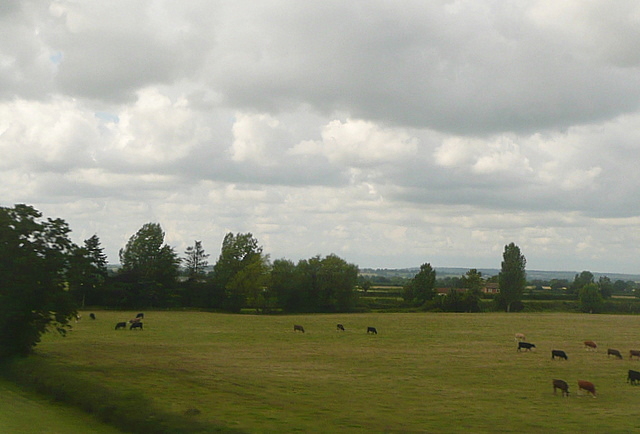
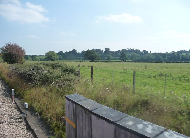
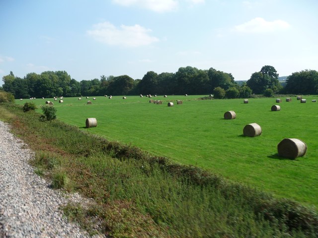
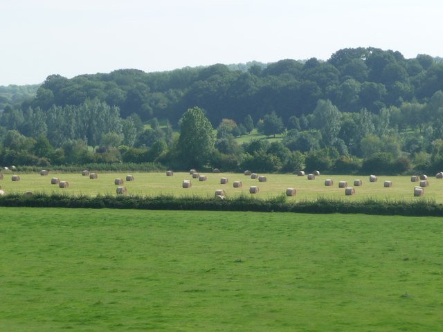
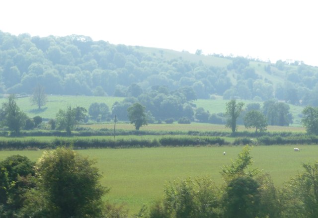
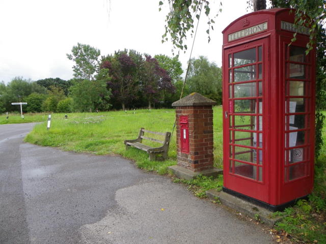
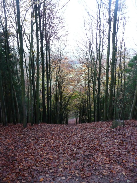
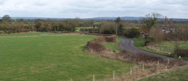
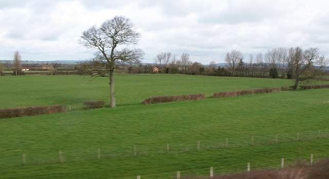
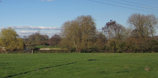
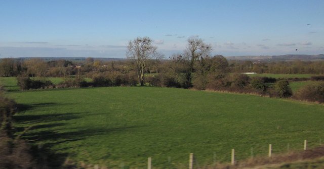
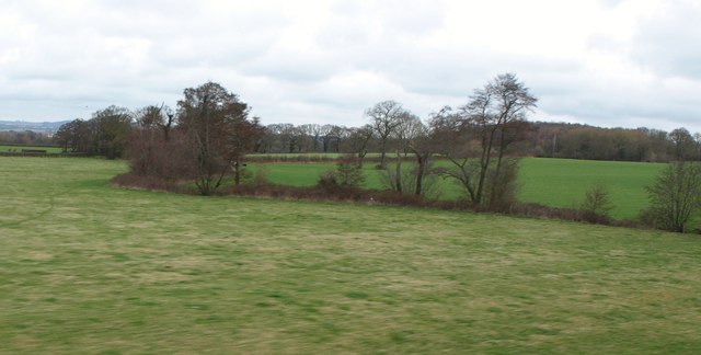
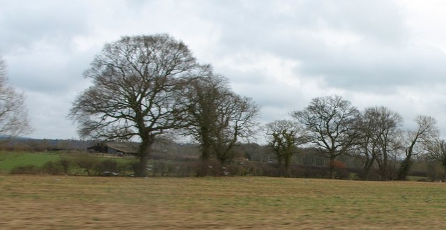
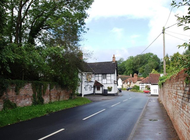
Fernham Wood Images
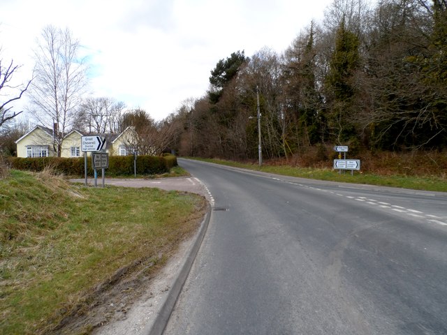
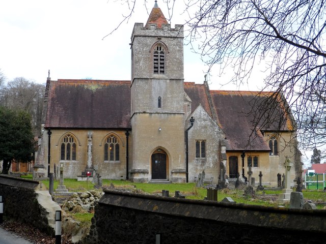
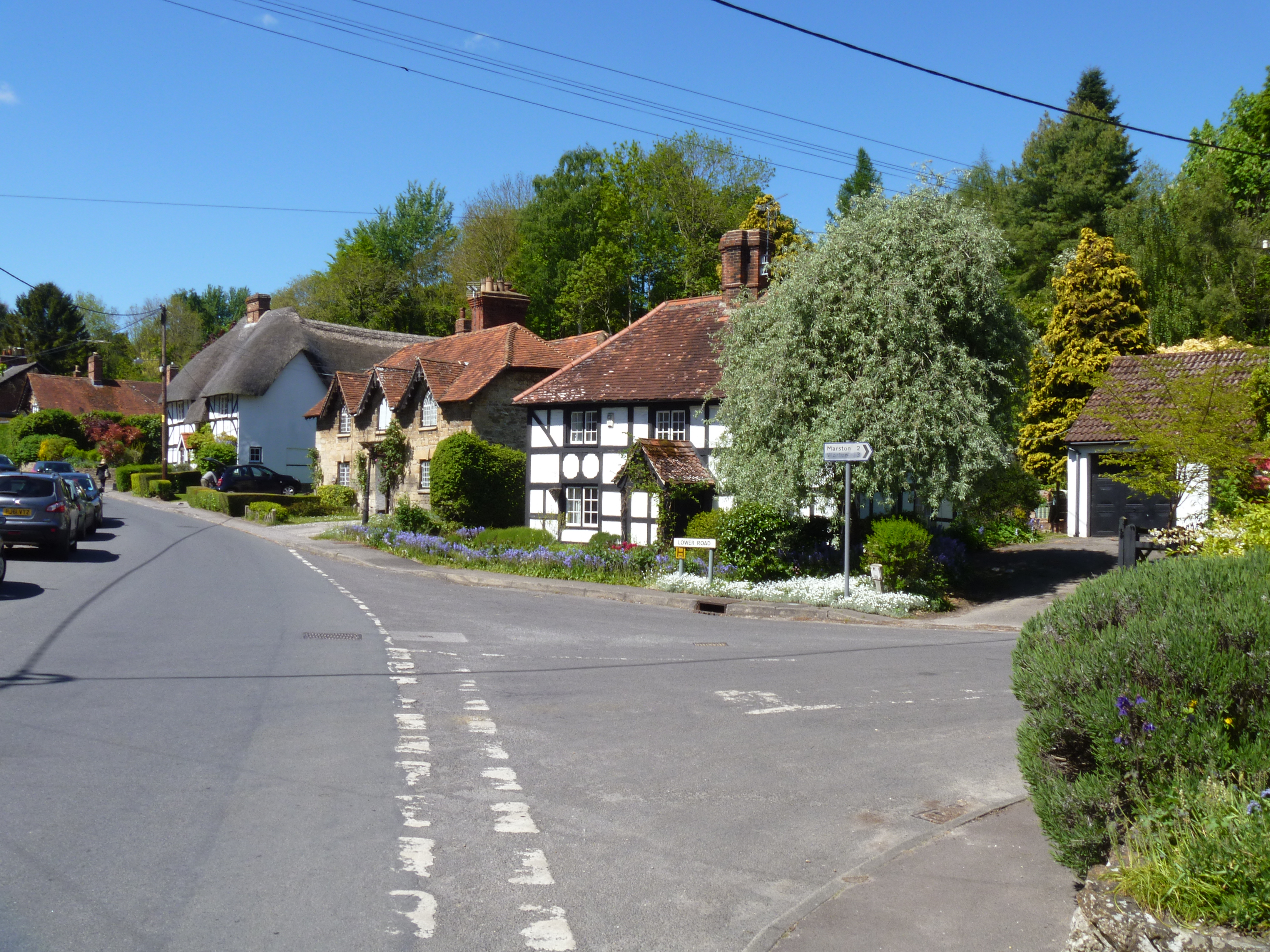
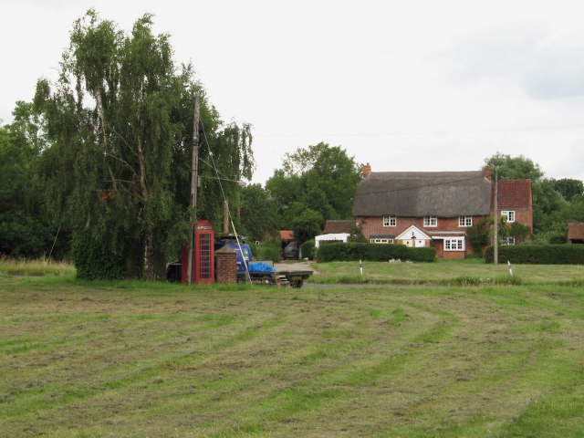
Images are sourced within 2km of 51.294082/-2.0514225 or Grid Reference ST9654. Thanks to Geograph Open Source API. All images are credited.
Fernham Wood is located at Grid Ref: ST9654 (Lat: 51.294082, Lng: -2.0514225)
Unitary Authority: Wiltshire
Police Authority: Wiltshire
What 3 Words
///painter.tulip.makeovers. Near Erlestoke, Wiltshire
Nearby Locations
Related Wikis
Erlestoke
Erlestoke is a village and civil parish in Wiltshire, England, on the northern edge of Salisbury Plain. The village lies about 6 miles (10 km) east of...

HM Prison Erlestoke
HM Prison Erlestoke is a Category C men's prison, to the east of the village of Erlestoke in Wiltshire, England. Erlestoke is operated by His Majesty's...

Coulston
Coulston (until 1934 called East Coulston) is a village and civil parish in Wiltshire, England, five miles northeast of the town of Westbury, just north...
Marston, Wiltshire
Marston is a small village and civil parish 4 miles (6.4 km) southwest of Devizes in Wiltshire, England. The parish lies south of Worton, away from main...
Nearby Amenities
Located within 500m of 51.294082,-2.0514225Have you been to Fernham Wood?
Leave your review of Fernham Wood below (or comments, questions and feedback).