Long Water
Lake, Pool, Pond, Freshwater Marsh in Wiltshire
England
Long Water
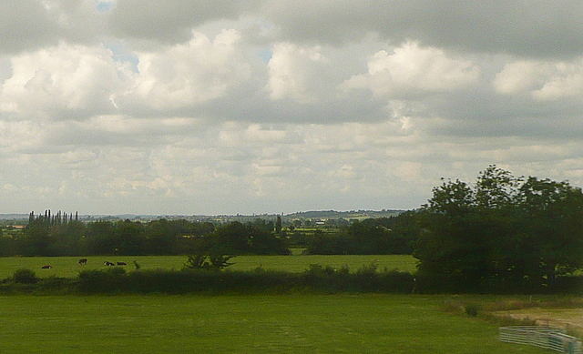
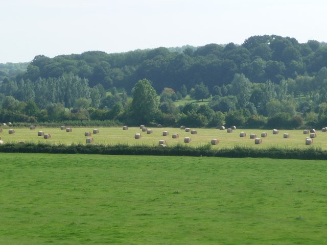
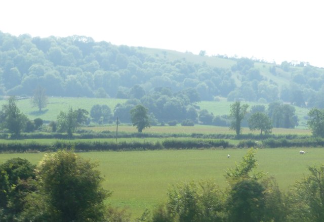
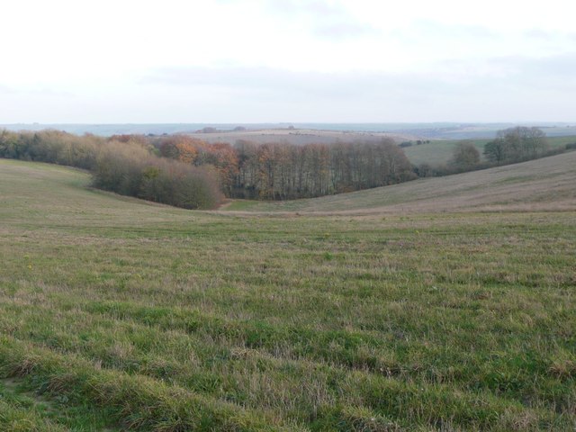
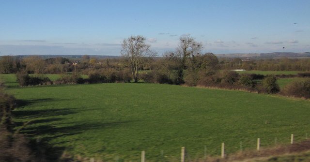
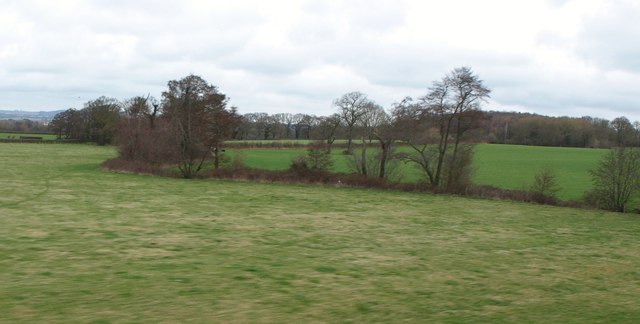
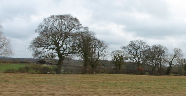
Long Water is a picturesque freshwater lake located in the county of Wiltshire, England. Situated within the expansive Longleat Estate, this natural water body covers an area of approximately 25 acres, making it one of the larger bodies of water in the region. The lake is situated amidst rolling green hills and dense woodland, adding to its serene and idyllic ambiance.
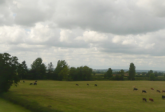
Long Water is fed by various small streams and springs that flow into it, ensuring a constant supply of freshwater. The lake is predominantly surrounded by lush vegetation, including reeds, rushes, and water lilies, which provide vital habitats for a diverse range of aquatic wildlife. It is not uncommon to spot various species of waterfowl such as ducks, swans, and geese gracefully gliding across the tranquil surface of the lake.
The lake's depth varies, with the shallowest areas being around 2 meters deep and the deepest parts reaching up to 10 meters. This diversity in depth supports a rich ecosystem, attracting a variety of fish species, including pike, roach, and perch. Angling enthusiasts often flock to Long Water to enjoy a day of fishing in its peaceful and scenic surroundings.
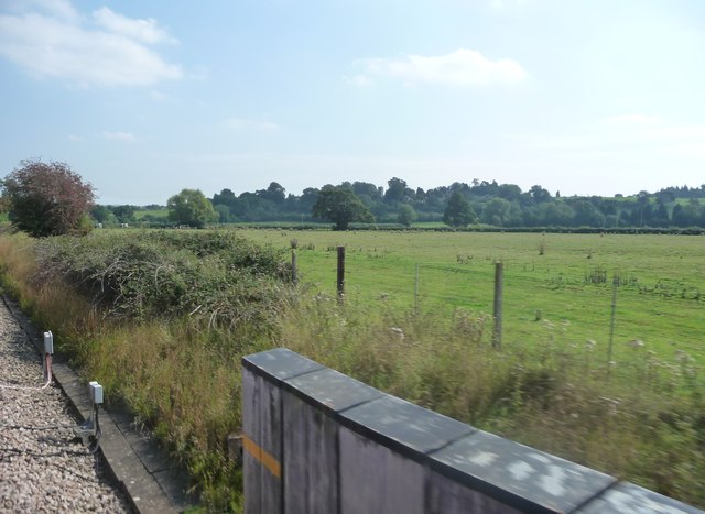
Additionally, Long Water is home to a thriving freshwater marsh, which serves as a vital breeding ground for numerous amphibians, insects, and water-loving plants. This marshland, with its distinctive wetland vegetation, adds to the area's natural beauty and ecological importance.
Long Water is a popular destination for nature lovers, walkers, and photographers who seek tranquility and a chance to observe the wonders of the natural world. With its stunning surroundings and diverse wildlife, this Wiltshire lake offers a peaceful retreat for visitors seeking respite from the bustle of everyday life.
If you have any feedback on the listing, please let us know in the comments section below.
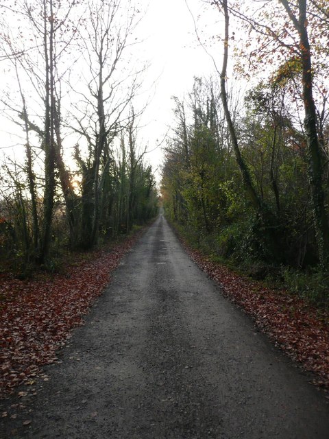
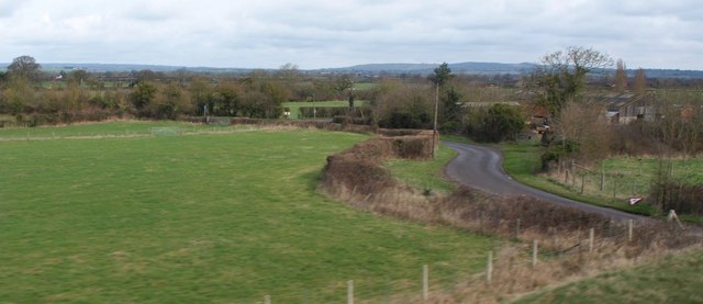
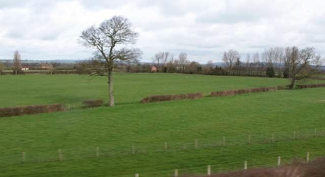
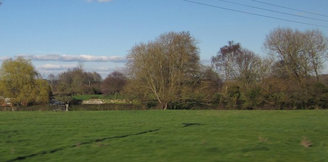
Long Water Images
Images are sourced within 2km of 51.289579/-2.0487359 or Grid Reference ST9654. Thanks to Geograph Open Source API. All images are credited.
Long Water is located at Grid Ref: ST9654 (Lat: 51.289579, Lng: -2.0487359)
Unitary Authority: Wiltshire
Police Authority: Wiltshire
What 3 Words
///envoy.thud.panicking. Near Erlestoke, Wiltshire
Nearby Locations
Related Wikis
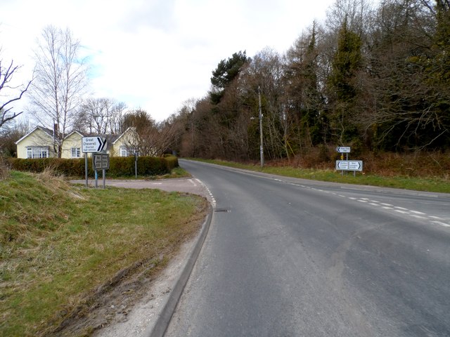
Erlestoke
Erlestoke is a village and civil parish in Wiltshire, England, on the northern edge of Salisbury Plain. The village lies about 6 miles (10 km) east of...

HM Prison Erlestoke
HM Prison Erlestoke is a Category C men's prison, to the east of the village of Erlestoke in Wiltshire, England. Erlestoke is operated by His Majesty's...
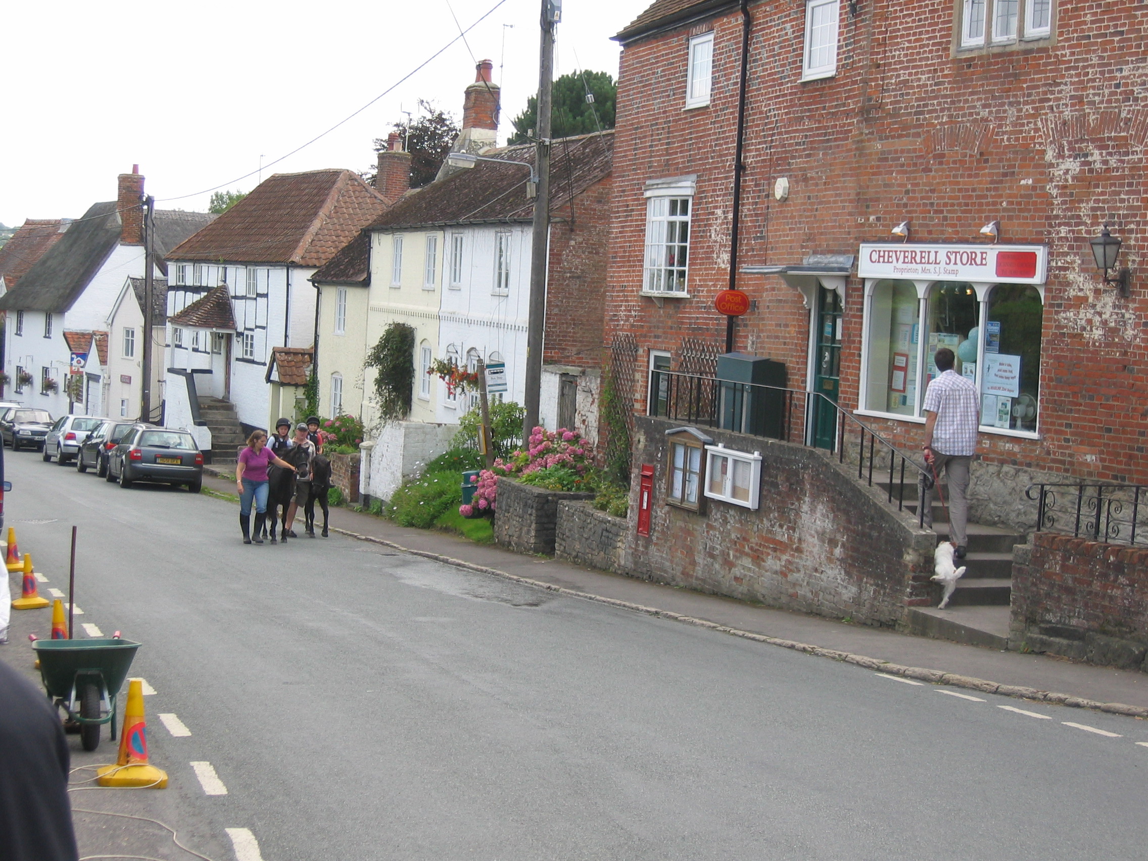
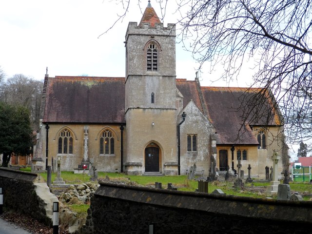
Great Cheverell
Great Cheverell is a village and civil parish in Wiltshire, England, 5 miles (8.0 km) south of Devizes. In some sources the Latinized name of Cheverell...

Coulston
Coulston (until 1934 called East Coulston) is a village and civil parish in Wiltshire, England, five miles northeast of the town of Westbury, just north...

Baynton House
Baynton House is a Grade II listed 17th-century country house at Coulston, Wiltshire, England, about 5 miles (8 km) northeast of the town of Westbury....
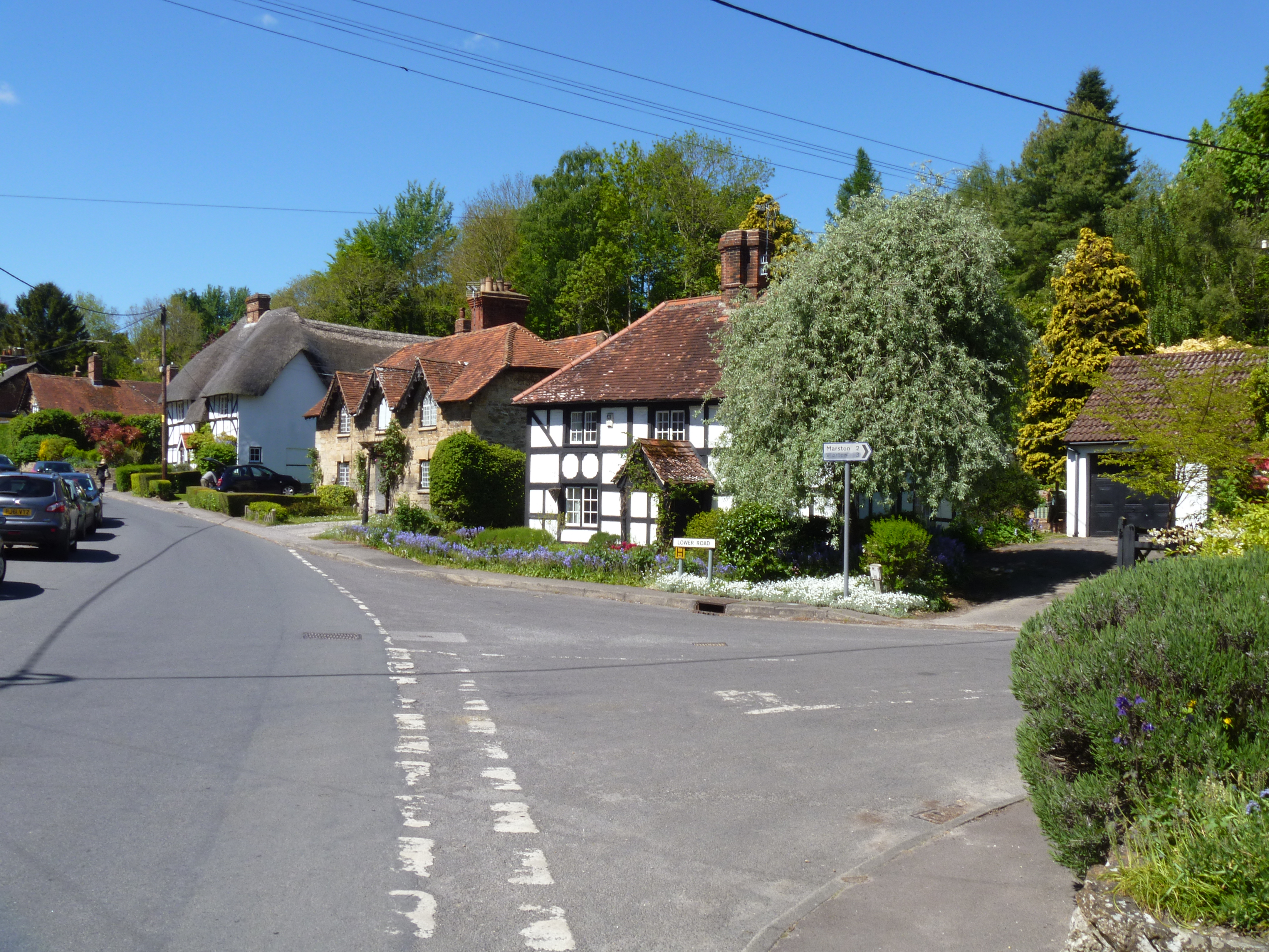
Marston, Wiltshire
Marston is a small village and civil parish 4 miles (6.4 km) southwest of Devizes in Wiltshire, England. The parish lies south of Worton, away from main...
Great Cheverell Hill
Great Cheverell Hill (grid reference ST966520) is a 33.2 hectare biological Site of Special Scientific Interest at Great Cheverell in Wiltshire, notified...

Little Cheverell
Little Cheverell is a small village and civil parish in Wiltshire, England. In some sources the Latinized name of Cheverell Parva is used, especially when...
Nearby Amenities
Located within 500m of 51.289579,-2.0487359Have you been to Long Water?
Leave your review of Long Water below (or comments, questions and feedback).