North Close Wood

Wood, Forest in Wiltshire

England

North Close Wood

Pastures at Brickfield Farm A farm near East Coulston.  Much of this area is arable, but here there are cattle pastures.
This photo was taken from the 1158 Penzance to London Paddington train, having left Castle Cary at 1550.
Pastures at Brickfield Farm Credit: Graham Horn

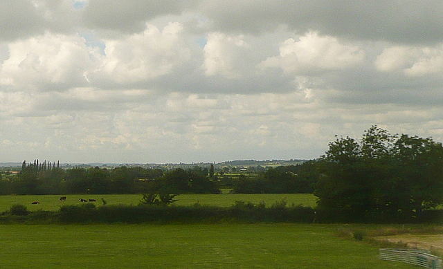
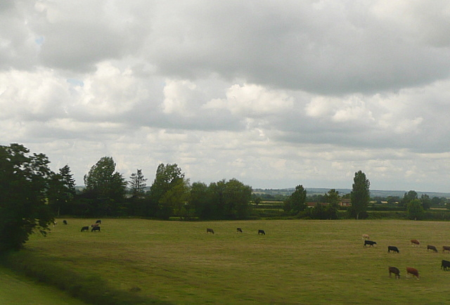
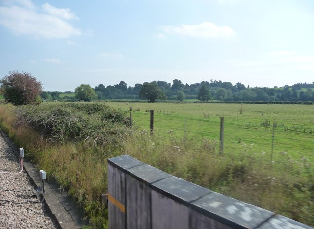
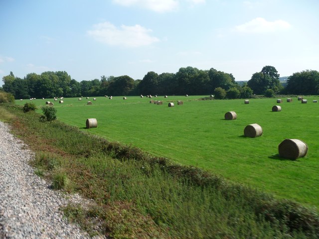
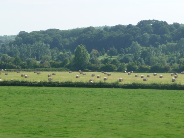
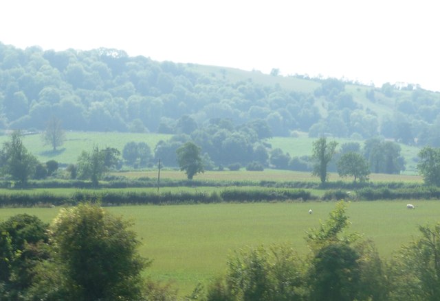
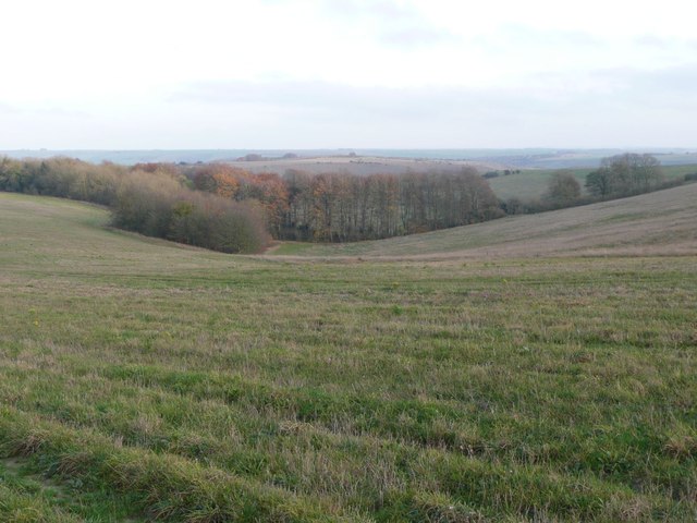
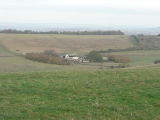
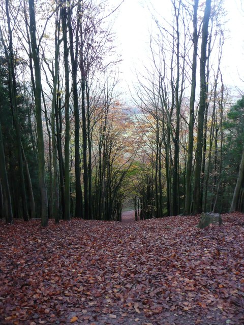
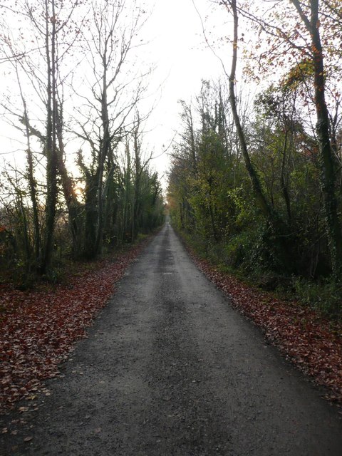
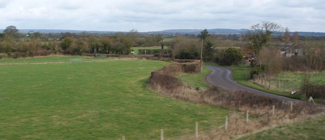
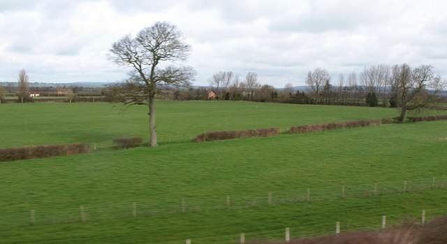
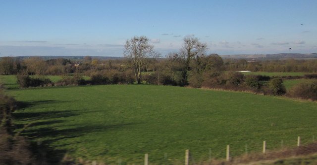
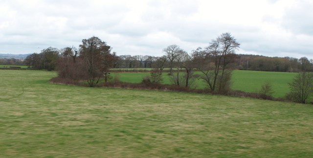
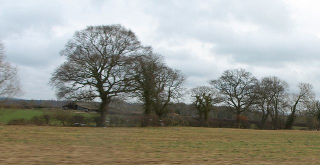
North Close Wood is a picturesque woodland located in Wiltshire, England. Covering an area of approximately 40 acres, the wood is filled with a variety of native trees such as oak, beech, and ash, creating a rich and diverse ecosystem. The wood is surrounded by rolling countryside, providing a tranquil and peaceful setting for visitors to enjoy.

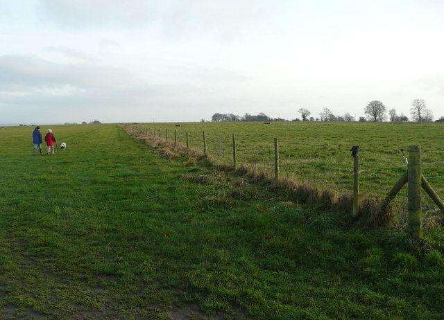
Visitors to North Close Wood can explore the network of winding paths that crisscross through the trees, making it an ideal location for leisurely walks and nature hikes. The wood is also home to a wide array of wildlife, including birds, deer, and various species of insects, making it a popular spot for birdwatching and wildlife enthusiasts.

In addition to its natural beauty, North Close Wood also has historical significance, with evidence of ancient settlements and earthworks dating back to the Iron Age. This adds an extra layer of interest for visitors looking to learn more about the area's past.

Overall, North Close Wood offers a peaceful retreat from the hustle and bustle of everyday life, providing a scenic and tranquil environment for nature lovers to explore and enjoy.

If you have any feedback on the listing, please let us know in the comments section below.

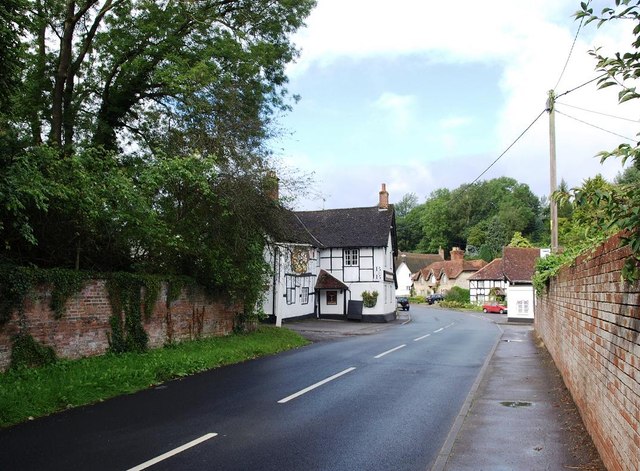
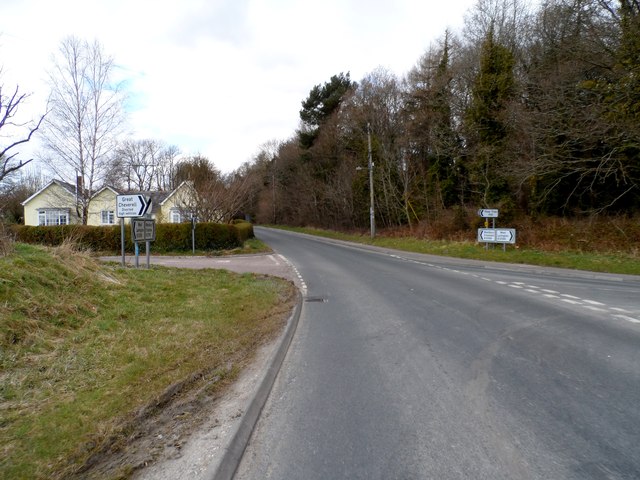
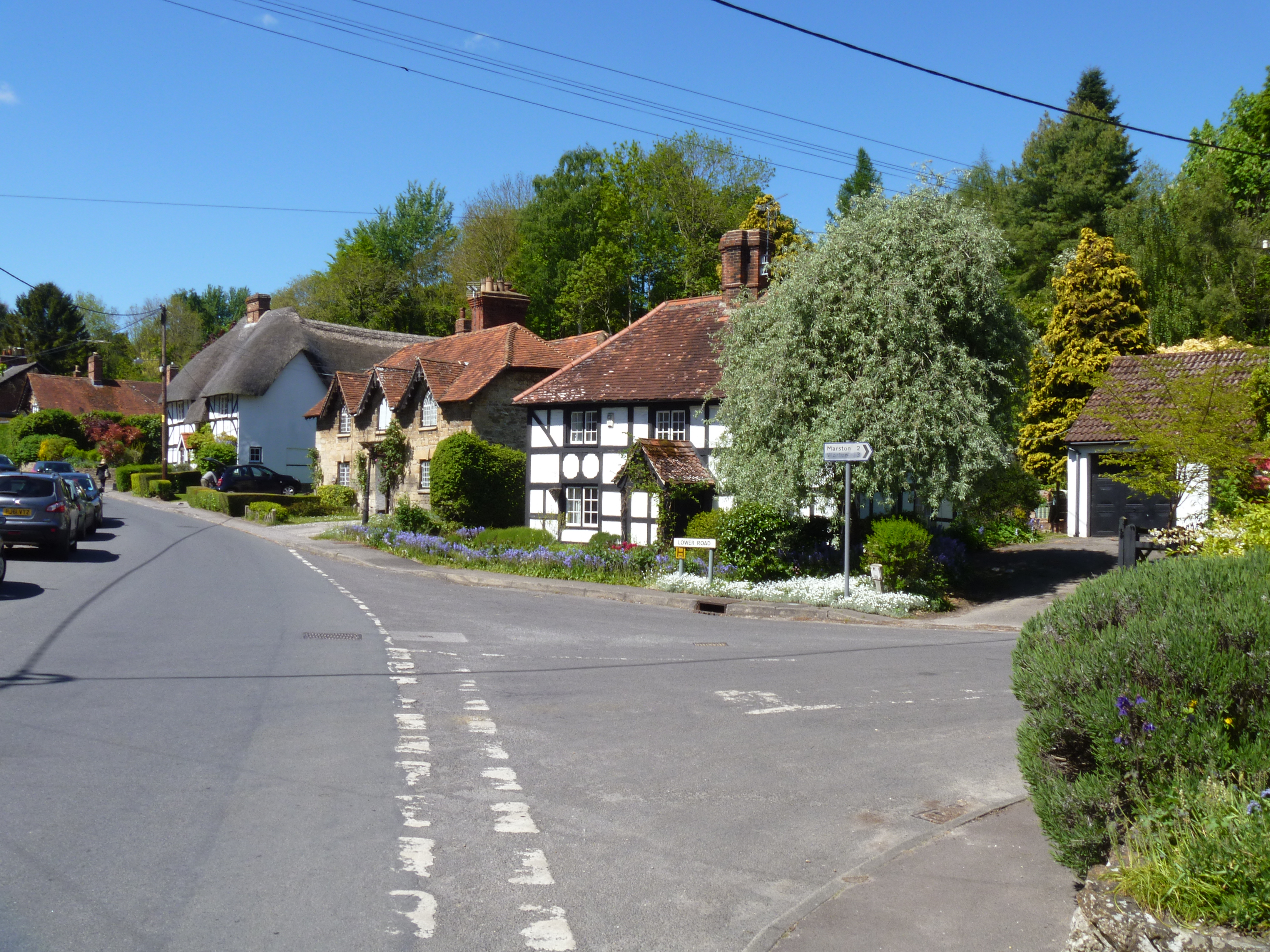
North Close Wood Images

Images are sourced within 2km of 51.286536/-2.0565619 or Grid Reference ST9654. Thanks to Geograph Open Source API. All images are credited.

Pastures at Brickfield Farm A farm near East Coulston.  Much of this area is arable, but here there are cattle pastures.
This photo was taken from the 1158 Penzance to London Paddington train, having left Castle Cary at 1550.
Pastures at Brickfield Farm
A farm near East Coulston. Much of this area is arable, but here there are cattle pastures. This photo was taken from the 1158 Penzance to London Paddington train, having left Castle Cary at 1550.
Pastures near Newtown Farm Much of this area is arable, but here there are cattle pastures.
This photo was taken from the 1158 Penzance to London Paddington train, having left Castle Cary at 1550.
Pastures near Newtown Farm
Much of this area is arable, but here there are cattle pastures. This photo was taken from the 1158 Penzance to London Paddington train, having left Castle Cary at 1550.
West Wiltshire : Railside & Fields Fields along the rail line in West Wiltshire.
West Wiltshire : Railside & Fields
Fields along the rail line in West Wiltshire.
West Wiltshire : grassy field A grassy field with hay bales in the sun.
West Wiltshire : grassy field
A grassy field with hay bales in the sun.
West Wiltshire : Grassy Field Grassy fields in West Wiltshire near Coulston as seen by a passing train.
West Wiltshire : Grassy Field
Grassy fields in West Wiltshire near Coulston as seen by a passing train.
West Wiltshire : grassy field A grassy field and its surrounding countryside.
West Wiltshire : grassy field
A grassy field and its surrounding countryside.
Looking from Stoke Hill over the woods  Towards Cheverell Hill Farm.
Looking from Stoke Hill over the woods
Towards Cheverell Hill Farm.
Dog walkers on Stoke Hill Approaching the 'Danger Area'.
Dog walkers on Stoke Hill
Approaching the 'Danger Area'.
Looking down from Stoke Hill Towards Cheverell Hill Farm.
Looking down from Stoke Hill
Towards Cheverell Hill Farm.
Autumn leaves in Hill Wood Looking down through Hill Wood from Pear Tree Hill.
Autumn leaves in Hill Wood
Looking down through Hill Wood from Pear Tree Hill.
The track at the top of Hill Wood Heading towards Stoke Hill.
The track at the top of Hill Wood
Heading towards Stoke Hill.
Lane near Coulston A lane winds past farm buildings, seen from a train on the Westbury - Pewsey railway line.
Lane near Coulston
A lane winds past farm buildings, seen from a train on the Westbury - Pewsey railway line.
Farmland, Newtown Farm Trees along an intermittent hedge reinforced with a fence. Newtown Farm is in the centre background. On the left are buildings at South Farm. View from a passing train on the line from Westbury to Pewsey.
Farmland, Newtown Farm
Trees along an intermittent hedge reinforced with a fence. Newtown Farm is in the centre background. On the left are buildings at South Farm. View from a passing train on the line from Westbury to Pewsey.
Field near Coulston Sizable open fields alternate in this area with small bocage-like meadows, usually by watercourses, as in this case. There are small streams along both sides of this field, and they eventually flow into the Semington Brook. View from a train on the main line between Pewsey and Westbury.
Field near Coulston
Sizable open fields alternate in this area with small bocage-like meadows, usually by watercourses, as in this case. There are small streams along both sides of this field, and they eventually flow into the Semington Brook. View from a train on the main line between Pewsey and Westbury.
Farmland near Great Cheverell Seen from a train on the Westbury - Pewsey main line. The nearer trees are following a small drainage channel. Cheverell Wood is in the background on the right.
Farmland near Great Cheverell
Seen from a train on the Westbury - Pewsey main line. The nearer trees are following a small drainage channel. Cheverell Wood is in the background on the right.
Trees along field boundary, Great Cheverell Taken from a passing train on the main railway line between Westbury and Pewsey, hence the poor quality. The trees to the right are in <a href="https://www.geograph.org.uk/gridref/ST9755">ST9755</a>, as is the barn to the left of the nearest oak.
Trees along field boundary, Great Cheverell
Taken from a passing train on the main railway line between Westbury and Pewsey, hence the poor quality. The trees to the right are in ST9755, as is the barn to the left of the nearest oak.
The B3098 through Erlestoke The George and Dragon pub is on the left.
The B3098 through Erlestoke
The George and Dragon pub is on the left.
Junction on B3098
Junction on B3098
Show me another place!

North Close Wood is located at Grid Ref: ST9654 (Lat: 51.286536, Lng: -2.0565619)

Unitary Authority: Wiltshire

Police Authority: Wiltshire

What 3 Words

///again.inhaled.rhino. Near Erlestoke, Wiltshire

Related Wikis

Erlestoke

Erlestoke is a village and civil parish in Wiltshire, England, on the northern edge of Salisbury Plain. The village lies about 6 miles (10 km) east of...

HM Prison Erlestoke

HM Prison Erlestoke is a Category C men's prison, to the east of the village of Erlestoke in Wiltshire, England. Erlestoke is operated by His Majesty's...

Coulston

Coulston (until 1934 called East Coulston) is a village and civil parish in Wiltshire, England, five miles northeast of the town of Westbury, just north...

Baynton House

Baynton House is a Grade II listed 17th-century country house at Coulston, Wiltshire, England, about 5 miles (8 km) northeast of the town of Westbury....

Nearby Amenities

Located within 500m of 51.286536,-2.0565619
Parking
Lat/Long: 51.2840115/-2.0509239
Erlestoke
Place: village
Lat/Long: 51.2850442/-2.0544319
Power: pole
Lat/Long: 51.2900837/-2.0545722
Power: pole
Lat/Long: 51.2899489/-2.0598382
Power: pole
Lat/Long: 51.2899817/-2.0585615
Power: pole
Lat/Long: 51.2901222/-2.0532472
Power: pole
Lat/Long: 51.2900186/-2.0571854
Golf: pin
Lat/Long: 51.2826417/-2.0589064
Golf: pin
Lat/Long: 51.2839086/-2.059057
Golf: pin
Lat/Long: 51.2857388/-2.0615006
Golf: pin
Lat/Long: 51.2859265/-2.0534602
Golf: pin
Lat/Long: 51.2866028/-2.0574071
Golf: pin
Lat/Long: 51.286796/-2.0554239
Golf: pin
Lat/Long: 51.2871909/-2.0611267
Golf: pin
Lat/Long: 51.2876495/-2.0546299
Golf: pin
Lat/Long: 51.2886161/-2.0555943
Golf: pin
Lat/Long: 51.2848615/-2.0591779
Golf: pin
Lat/Long: 51.2868745/-2.0632539
Golf: pin
Lat/Long: 51.287825/-2.0611246
Golf: pin
Lat/Long: 51.2894159/-2.0609982
Golf: pin
Lat/Long: 51.2898035/-2.055444
Historic: memorial
Memorial: war_memorial
Lat/Long: 51.2841582/-2.0512287
Power: pole
Source: bing
Lat/Long: 51.2899196/-2.0612049
Post Box
Brand: Royal Mail
Brand Wikidata: Q638098
Collection Times: Mo-Fr 16:00; Sa 09:30
Drive Through: no
Operator: Royal Mail
Operator Wikidata: Q638098
Post Box Type: lamp
Ref: SN10 116
Royal Cypher: EIIR
Royal Cypher Wikidata: Q33102113
Lat/Long: 51.2845776/-2.0531042
Turners
Service: repair
Shop: car_repair;dealer
Lat/Long: 51.2840823/-2.0544796
Power: pole
Source: bing
Lat/Long: 51.2900484/-2.0559105
Telephone
Booth: K6
Covered: booth
Listed Status: Grade II
Operator: BT
Phone: +44 1380 830391
Lat/Long: 51.2848318/-2.0532657
The data included in this document is from www.openstreetmap.org. The data is made available under ODbL.

Have you been to North Close Wood?

Leave your review of North Close Wood below (or comments, questions and feedback).