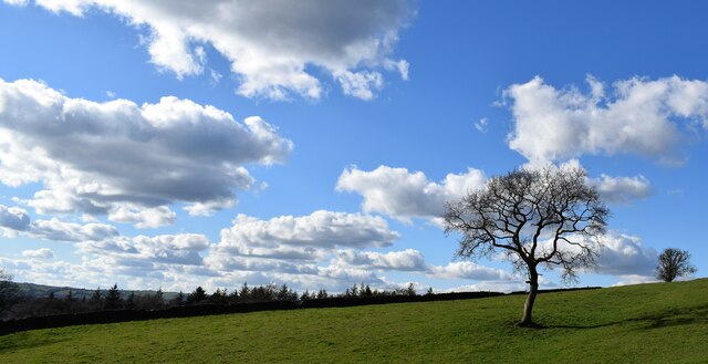
Big Wood
Wood, Forest in Staffordshire Staffordshire Moorlands
England
Big Wood
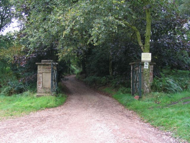
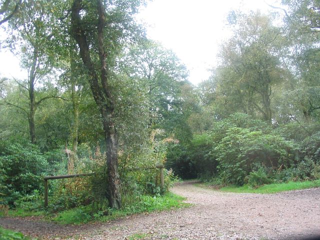
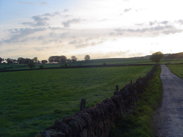
Big Wood, located in Staffordshire, England, is a delightful forest known for its picturesque beauty and rich biodiversity. Spanning over a vast area, the woodland is a haven for nature enthusiasts and offers a serene retreat from the bustling city life.
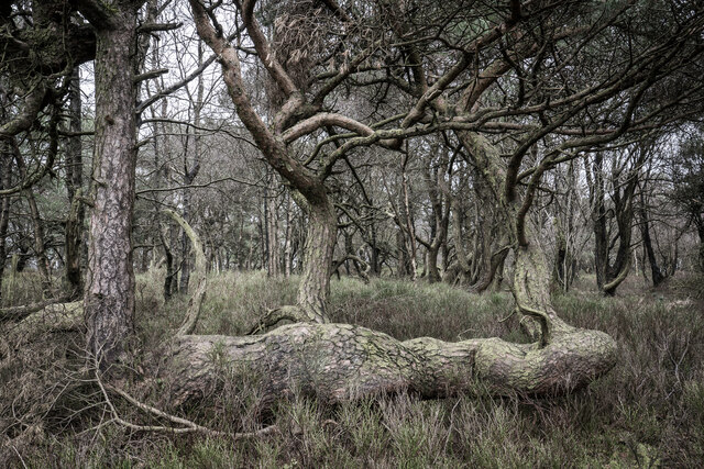
The forest, predominantly consisting of deciduous trees, presents a stunning display of vibrant colors during autumn, attracting visitors from far and wide. The dense canopy of the woodland provides a haven for a diverse range of flora and fauna, making it an ideal spot for wildlife enthusiasts and birdwatchers. Various species of birds, including woodpeckers, owls, and songbirds, can be spotted in the treetops, while small mammals like squirrels and rabbits scurry about on the forest floor.
Big Wood offers a network of well-maintained trails, allowing visitors to explore its enchanting surroundings at their own pace. Hikers and walkers can enjoy leisurely strolls, immersing themselves in the tranquility of the forest. The woodland also features designated picnic areas, where families and friends can gather for a delightful outdoor meal amidst the natural beauty.
Moreover, Big Wood showcases a rich cultural history. Ancient trees, some of which are hundreds of years old, stand as majestic witnesses to the passing of time. Local folklore and legends add an element of intrigue to the woodland, captivating the imagination of those who visit.
Overall, Big Wood in Staffordshire is a captivating destination for nature lovers, offering a peaceful escape into the heart of nature, where one can embrace the beauty of the forest and soak in its serene ambiance.
If you have any feedback on the listing, please let us know in the comments section below.
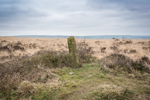
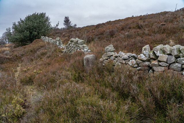
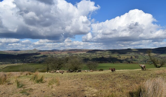
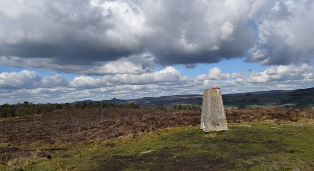
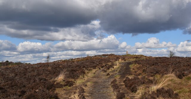
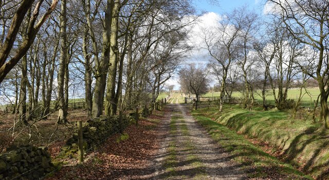
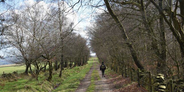
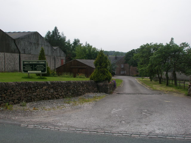
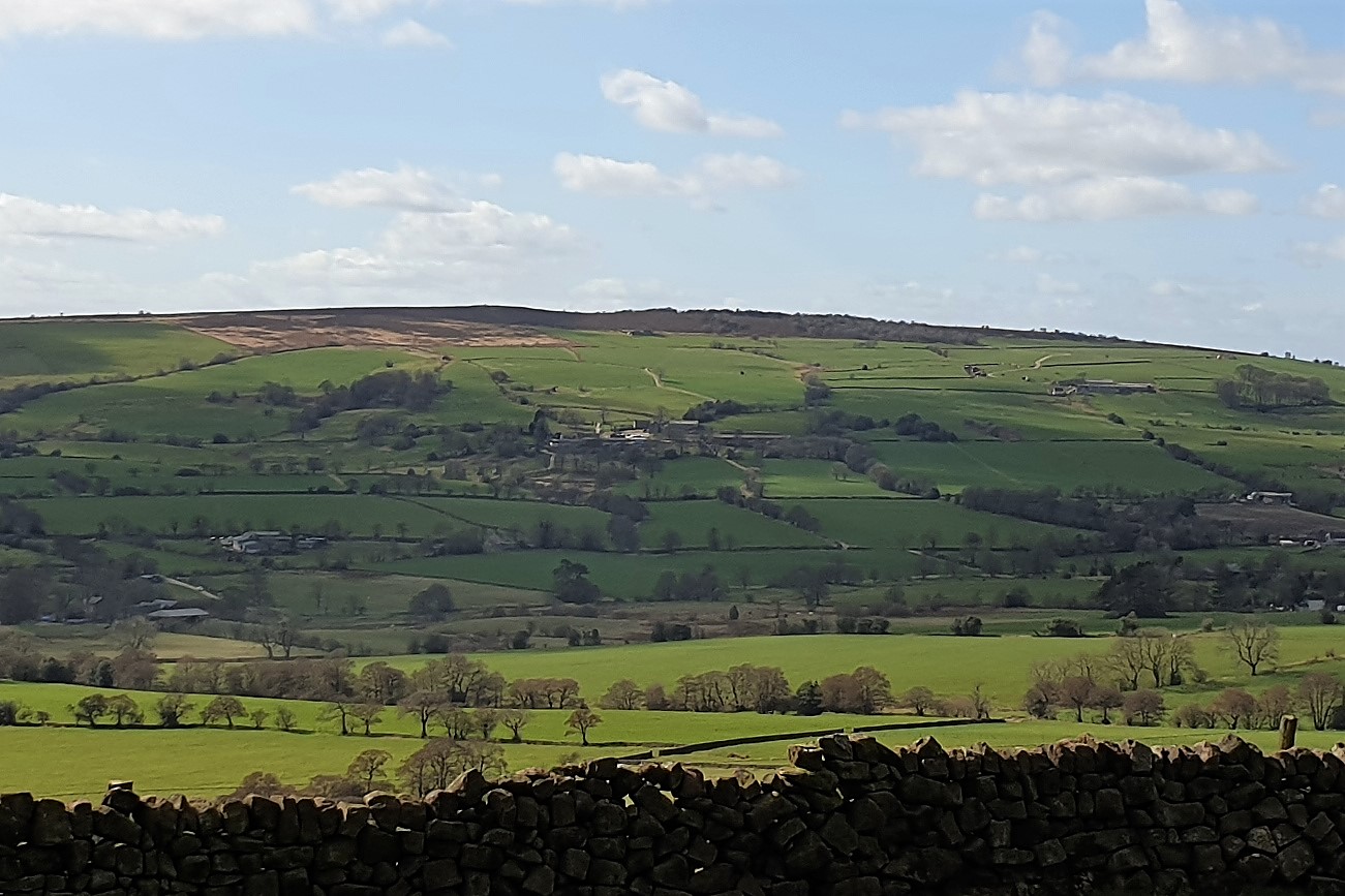
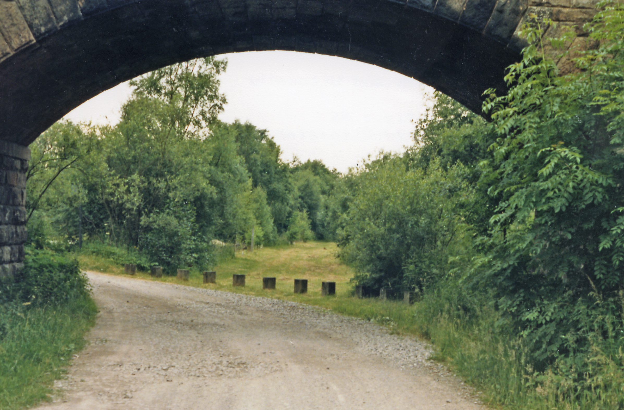
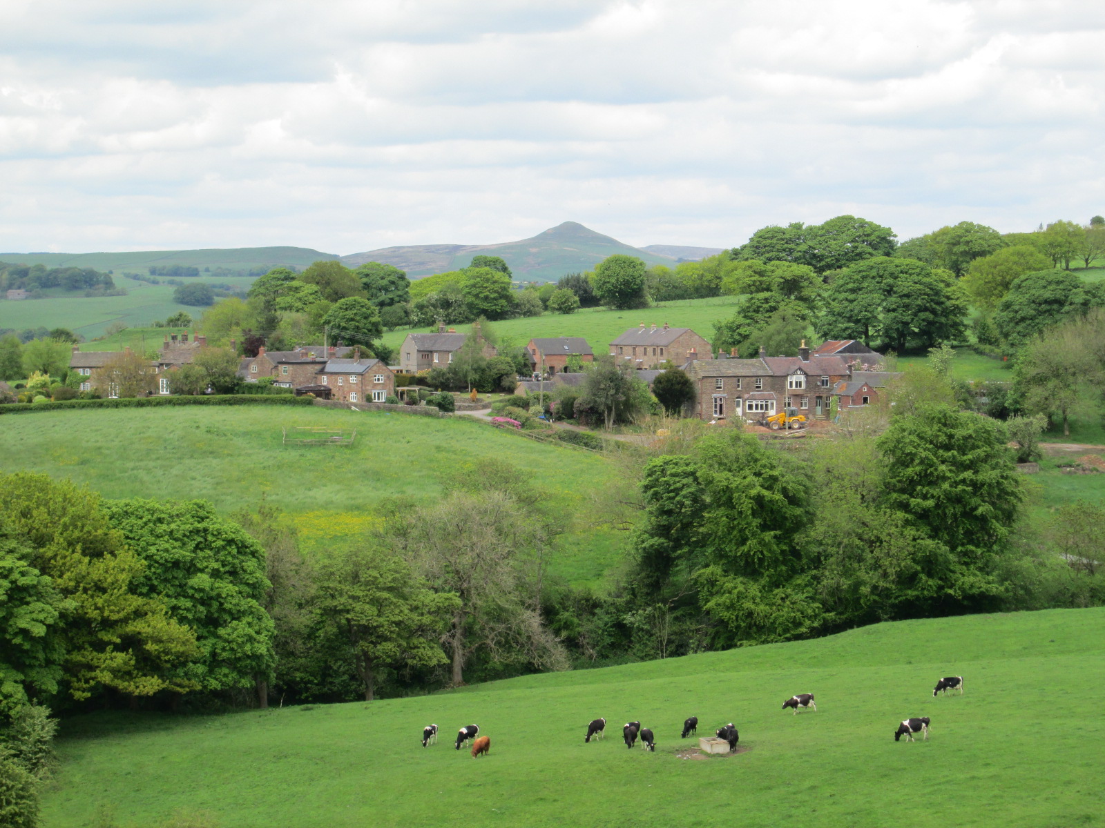
Big Wood Images
Images are sourced within 2km of 53.140971/-2.0550919 or Grid Reference SJ9660. Thanks to Geograph Open Source API. All images are credited.

Big Wood is located at Grid Ref: SJ9660 (Lat: 53.140971, Lng: -2.0550919)
Administrative County: Staffordshire
District: Staffordshire Moorlands
Police Authority: Staffordshire
What 3 Words
///mooring.apes.mountain. Near Leek, Staffordshire
Nearby Locations
Related Wikis
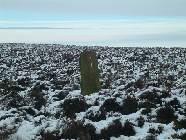
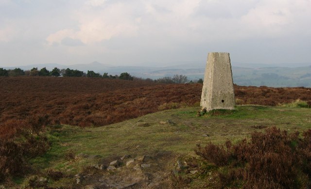
Gun (Staffordshire)
Gun is a hill at the southern end of the Peak District, overlooking the town of Leek in the Staffordshire Moorlands. The hill is mainly moorland with some...

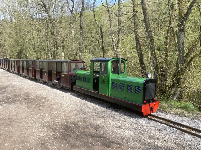
Rudyard Lake Steam Railway
The Rudyard Lake Steam Railway is a ridable miniature railway and the third railway of any gauge to run along the side of Rudyard Lake in Staffordshire...

Rudyard Lake
Rudyard Lake is a reservoir in Rudyard, Staffordshire, located north-west of the town of Leek, Staffordshire. It was constructed in the late 18th century...
Cliffe Park railway station
Cliffe Park railway station was opened by the North Staffordshire Railway (NSR) in 1905 on the Churnet Valley line to attract visitors to Rudyard Lake...

Meerbrook
Meerbrook (grid reference SJ989609) is a small village in North Staffordshire, on the River Churnet at the edge of the Peak District National Park. It...
Heaton, Staffordshire
Heaton is a small village and civil parish in Staffordshire, England. It is about 4 miles (6.4 km) north of Leek and about 7 miles (11 km) south of Macclesfield...
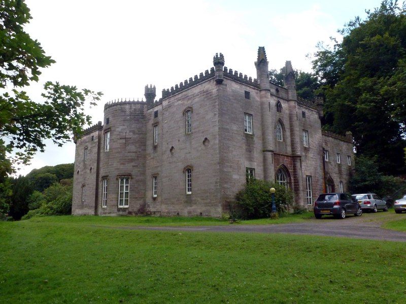
Cliffe Park Hall
Cliffe Park Hall is a country house near Rudyard in Staffordshire, England. During its 200-year history, it has been a private residence, a golf club...

Rudyard railway station
Rudyard railway station served Rudyard, Staffordshire and was opened by the North Staffordshire Railway (NSR) in 1850 on the Churnet Valley line. In the...
Have you been to Big Wood?
Leave your review of Big Wood below (or comments, questions and feedback).