Fairboroughs Wood

Wood, Forest in Staffordshire Staffordshire Moorlands

England

Fairboroughs Wood

Footbridge over former railway Providing access to the jetty on Rudyard Lake.
Footbridge over former railway Credit: John H Darch

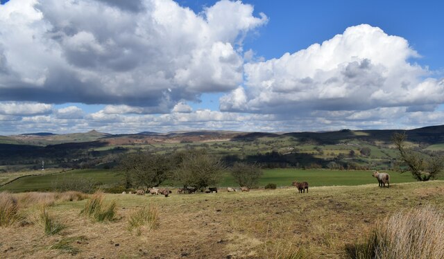
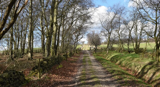
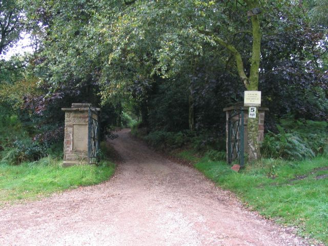
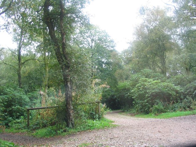
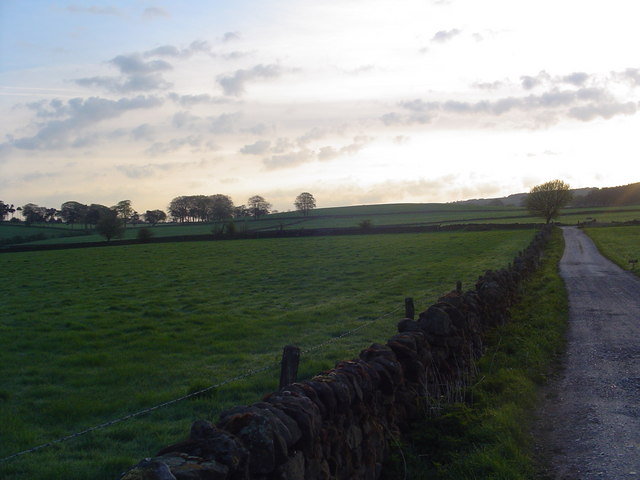
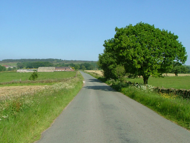
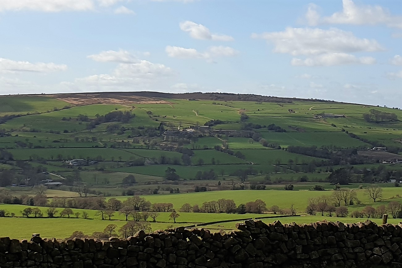
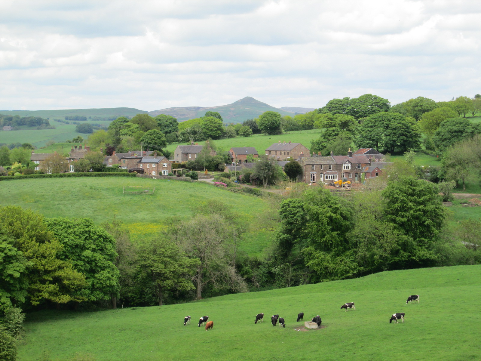
Fairboroughs Wood is a picturesque woodland area located in the county of Staffordshire, England. Covering an expansive area of approximately 100 acres, it is a testament to the region's natural beauty and ecological diversity. The wood is situated near the town of Fairboroughs, nestled amidst rolling hills and idyllic countryside.

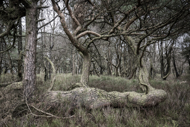
The woodland boasts a rich and varied ecosystem, with a wide range of plant and animal species calling it home. Ancient oak and beech trees dominate the landscape, their towering canopies providing shade and shelter for a plethora of flora and fauna. The forest floor is adorned with a vibrant carpet of wildflowers, including bluebells, primroses, and orchids, which bloom in a riot of colors during the spring months.

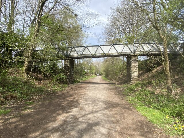
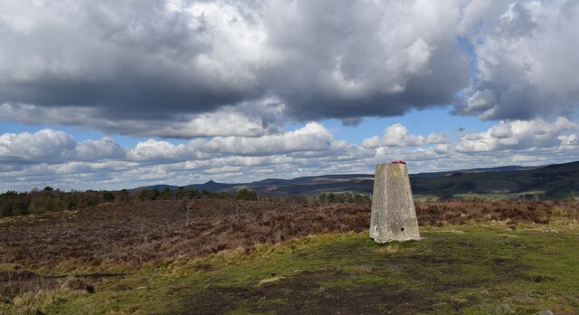
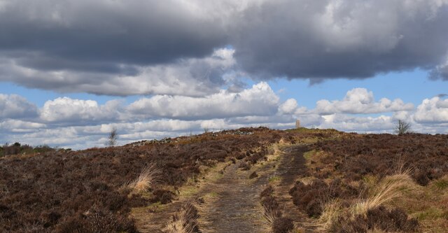
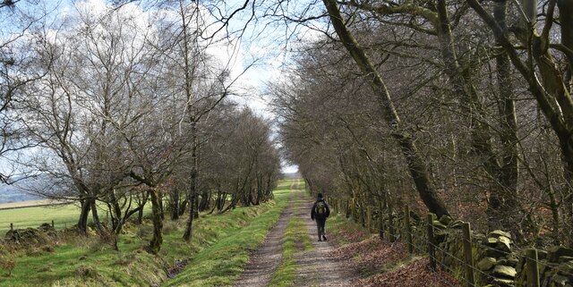
Nature enthusiasts flock to Fairboroughs Wood to indulge in a myriad of outdoor activities. The well-maintained trails and paths winding through the forest offer an ideal setting for leisurely walks, hiking, and cycling. Birdwatchers can expect to spot a variety of avian species, including woodpeckers, owls, and buzzards. Additionally, the wood is home to numerous small mammals, such as foxes, badgers, and squirrels, adding to the area's charm and biodiversity.

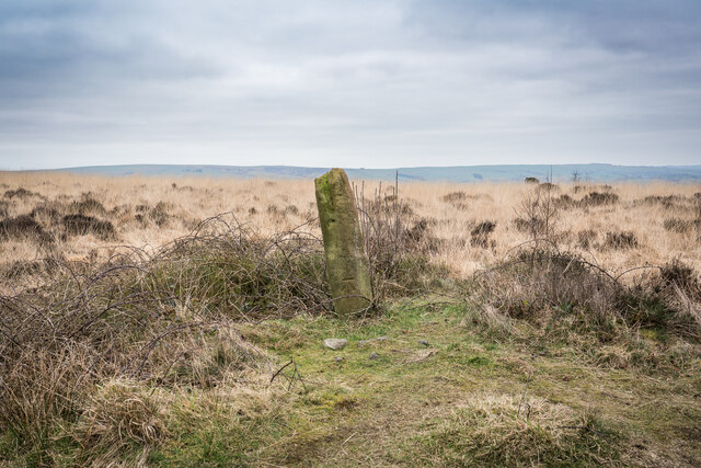
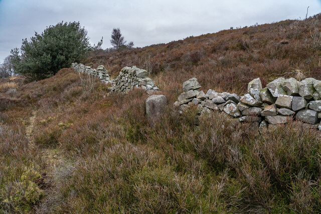
The woodland also holds historical significance, with the remnants of ancient settlements and burial mounds scattered throughout its expanse. Archaeological excavations have revealed artifacts dating back centuries, shedding light on the area's rich cultural heritage.

Overall, Fairboroughs Wood is a captivating destination that seamlessly blends natural beauty, recreational activities, and historical significance. It is a haven for nature lovers and history enthusiasts alike, providing a serene escape from the hustle and bustle of modern life.

If you have any feedback on the listing, please let us know in the comments section below.

Fairboroughs Wood Images

Images are sourced within 2km of 53.14566/-2.0611082 or Grid Reference SJ9660. Thanks to Geograph Open Source API. All images are credited.

Footbridge over former railway Providing access to the jetty on Rudyard Lake.
Footbridge over former railway
Providing access to the jetty on Rudyard Lake.
Stone With Benchmark, Gun I think it's a spot height marker, as these are shown on the 1878 maps.
Stone With Benchmark, Gun
I think it's a spot height marker, as these are shown on the 1878 maps.
Boundary Stone (BS) Heaton / Leekfirth The wall runs past on the Leekfirth side of the BS.  Not sure when the Boundary stone's were placed but The wall was probably from the "Leek Inclosure act 1805"


<span class="nowrap"><a title="https://www.staffs-wildlife.org.uk/blog/alan-weeks/history-gun-moor-meadow-and-gun-hill" rel="nofollow ugc noopener" href="https://www.staffs-wildlife.org.uk/blog/alan-weeks/history-gun-moor-meadow-and-gun-hill">Link</a><img style="margin-left:2px;" alt="External link" title="External link - shift click to open in new window" src="https://s1.geograph.org.uk/img/external.png" width="10" height="10"/></span>
Boundary Stone (BS) Heaton / Leekfirth
The wall runs past on the Leekfirth side of the BS. Not sure when the Boundary stone's were placed but The wall was probably from the "Leek Inclosure act 1805" LinkExternal link
Gunn Woods Some strange and gnarly Trees
Gunn Woods
Some strange and gnarly Trees
Rough Pastureland alongside the path to Gun. Lovely walk up to Gun.
Rough Pastureland alongside the path to Gun.
Lovely walk up to Gun.
The 385 metre summit of Gun. A grand viewpoint.
The 385 metre summit of Gun.
A grand viewpoint.
Path to the summit of Gun. Looking back up towards the Trig pillar.
Path to the summit of Gun.
Looking back up towards the Trig pillar.
Track alongside Gun plantation. A lovely track to follow.
Track alongside Gun plantation.
A lovely track to follow.
Track alongside Gun plantation. Heading back to Rudyard.
Track alongside Gun plantation.
Heading back to Rudyard.
Gun South of the summit, on the public footpath
Gun
South of the summit, on the public footpath
Burnt woodland, Gun Start of the path up Gun. A recent moorburn has taken out the birch trees. Birches can take over a moor, and heather does not grow in shade, so this may be considered a result, by the managers of this grouse moor.
Burnt woodland, Gun
Start of the path up Gun. A recent moorburn has taken out the birch trees. Birches can take over a moor, and heather does not grow in shade, so this may be considered a result, by the managers of this grouse moor.
Gun, Summit A hill with a very short name, and mostly grouse moor. The summit is just inside the square, given the OS data for the position of the trig. View north to Shutlingsloe.
Gun, Summit
A hill with a very short name, and mostly grouse moor. The summit is just inside the square, given the OS data for the position of the trig. View north to Shutlingsloe.
Barnswood Scout camp This is the entrance way to Barnswood Scout Camp, located at SJ949607. The site is heavily wooded as the name would suggest.
Barnswood Scout camp
This is the entrance way to Barnswood Scout Camp, located at SJ949607. The site is heavily wooded as the name would suggest.
Barnswood This picture was taken within Barnswood looking south from SJ948606.
Barnswood
This picture was taken within Barnswood looking south from SJ948606.
Goodbye Barnswood, Hello road to Leek! Beautiful morning in May 2006. This is the dirt track that takes Scouts in and out the fantastic Barnswood scout campsite.
Goodbye Barnswood, Hello road to Leek!
Beautiful morning in May 2006. This is the dirt track that takes Scouts in and out the fantastic Barnswood scout campsite.
Axstones Spring with an nice 'step' stile leading over the wall behind. This farm is named after  the Axestone - a pre-Norman 'cross' that stood on nearby Heaton Low.
Axstones Spring
with an nice 'step' stile leading over the wall behind. This farm is named after the Axestone - a pre-Norman 'cross' that stood on nearby Heaton Low.
Axestones Spring The girl with a ewer is one of a local scarecrow trail.
Axestones Spring
The girl with a ewer is one of a local scarecrow trail.
Broadmoss Farm Heaton, Rushton Spencer.
Broadmoss Farm
Heaton, Rushton Spencer.
Show me another place!

Fairboroughs Wood is located at Grid Ref: SJ9660 (Lat: 53.14566, Lng: -2.0611082)

Administrative County: Staffordshire

District: Staffordshire Moorlands

Police Authority: Staffordshire

What 3 Words

///encrusted.chatted.ending. Near Leek, Staffordshire

Related Wikis

Gun (Staffordshire)

Gun is a hill at the southern end of the Peak District, overlooking the town of Leek in the Staffordshire Moorlands. The hill is mainly moorland with some...

Rudyard Lake Steam Railway

The Rudyard Lake Steam Railway is a ridable miniature railway and the third railway of any gauge to run along the side of Rudyard Lake in Staffordshire...

Cliffe Park railway station

Cliffe Park railway station was opened by the North Staffordshire Railway (NSR) in 1905 on the Churnet Valley line to attract visitors to Rudyard Lake...

Heaton, Staffordshire

Heaton is a small village and civil parish in Staffordshire, England. It is about 4 miles (6.4 km) north of Leek and about 7 miles (11 km) south of Macclesfield...

Rudyard Lake

Rudyard Lake is a reservoir in Rudyard, Staffordshire, located north-west of the town of Leek, Staffordshire. It was constructed in the late 18th century...
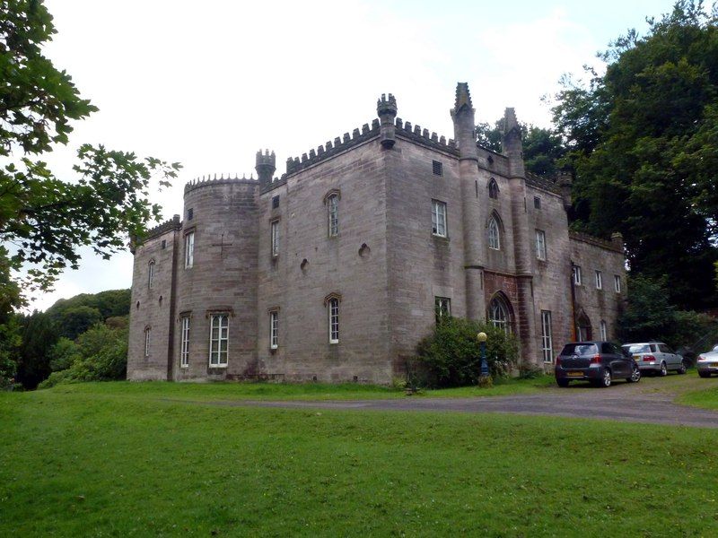
Cliffe Park Hall

Cliffe Park Hall is a country house near Rudyard in Staffordshire, England. During its 200-year history, it has been a private residence, a golf club...

Rushton, Staffordshire

Rushton is a civil parish in Staffordshire, England. The village within the civil parish, usually known as Rushton Spencer, is about 4 miles (6.4 km) north...

Rushton railway station

Rushton Spencer railway station was a railway station that served the village of Rushton Spencer, Staffordshire. The station was opened by the North Staffordshire...

Related Videos

Misty Rudyard Lake Walk, English Countryside 4K

https://www.buymeacoffee.com/Daveswalks All support is hugely appreciated and it helps me keep the channel going! No talking ...

Rudyard Lake explored by drone and walking

Watch this amazing video of Rudyard lake in Staffordshire. Join us on walking around and some fantastic drone footage using the ...

A wonderful winter walk around Rudyard Lake, Staffordshire

We spent a lovely weekend in a local lodge so we could explore this beautiful area. The walk around the lake took about two ...

Nearby Amenities

Located within 500m of 53.14566,-2.0611082
Barrier: stile
Steps: 5
Stile: wall
Lat/Long: 53.1472933/-2.0670986
Barrier: stile
Ele: 264.0000000
Steps: 1
Stile: stepover
Lat/Long: 53.1467127/-2.0672045
Barrier: stile
Ele: 264.0000000
Steps: 1
Stile: stepover
Lat/Long: 53.146481/-2.0673154
Barrier: stile
Ele: 261.0000000
Steps: 1
Stile: stepover
Lat/Long: 53.1457683/-2.0677128
Barrier: stile
Ele: 257.0000000
Steps: 1
Stile: stepover
Lat/Long: 53.144553/-2.0683153
Passing Place
Lat/Long: 53.1492405/-2.0643441
The data included in this document is from www.openstreetmap.org. The data is made available under ODbL.

Have you been to Fairboroughs Wood?

Leave your review of Fairboroughs Wood below (or comments, questions and feedback).