Moor Covert
Wood, Forest in Staffordshire Stafford
England
Moor Covert
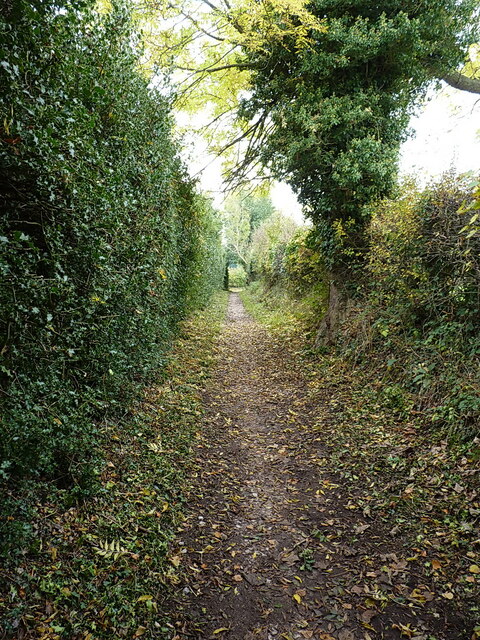
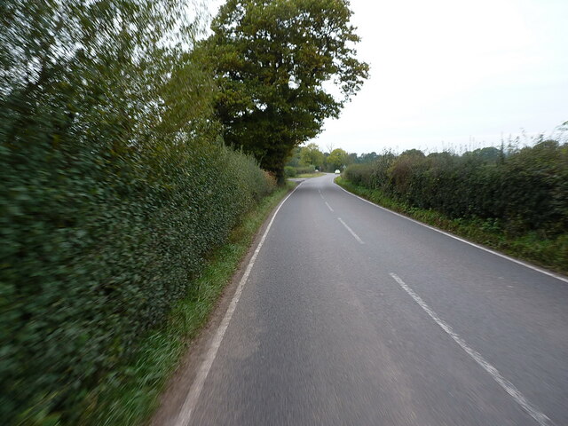
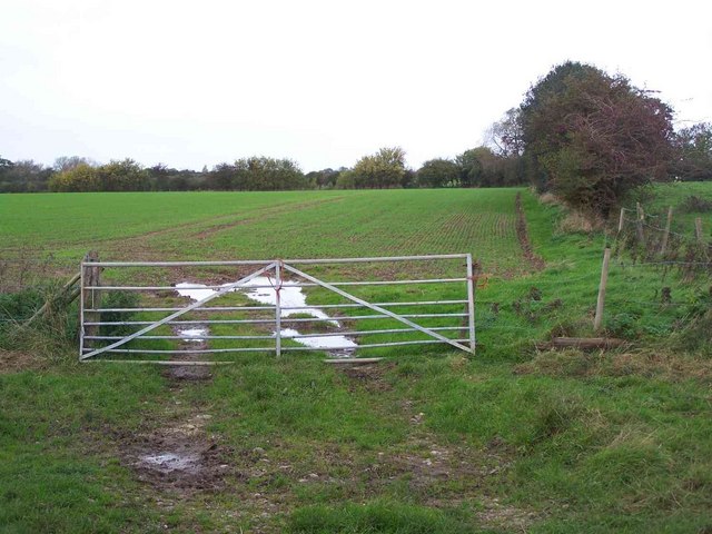
Moor Covert is a woodland area located in the county of Staffordshire, England. Covering an approximate area of several square kilometers, it is known for its dense forest and picturesque surroundings. The covert is situated near the town of Stafford and is easily accessible by road, making it a popular destination for nature lovers and outdoor enthusiasts.
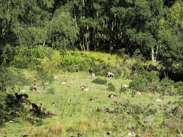
The woodland of Moor Covert is predominantly made up of deciduous trees, including oak, beech, and birch. These trees create a diverse and vibrant ecosystem, providing habitats for a variety of wildlife such as birds, squirrels, and deer. The forest floor is carpeted with ferns, moss, and wildflowers, adding to its natural beauty.
Visitors to Moor Covert can enjoy a range of recreational activities, including walking, hiking, and birdwatching. There are several well-marked trails that wind through the woods, offering opportunities to explore the different sections of the covert. The peaceful and tranquil atmosphere of the woodland makes it an ideal place for relaxation and getting closer to nature.
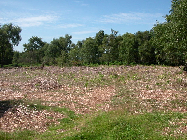
In addition to its natural amenities, Moor Covert also has designated picnic areas and benches, allowing visitors to take a break and enjoy a packed lunch amidst the serene surroundings. The woodland is well-maintained, with regular maintenance and conservation efforts undertaken to preserve its ecological balance.
Overall, Moor Covert in Staffordshire offers a delightful escape into nature, providing visitors with the chance to explore a diverse forest ecosystem and enjoy peaceful outdoor activities.
If you have any feedback on the listing, please let us know in the comments section below.
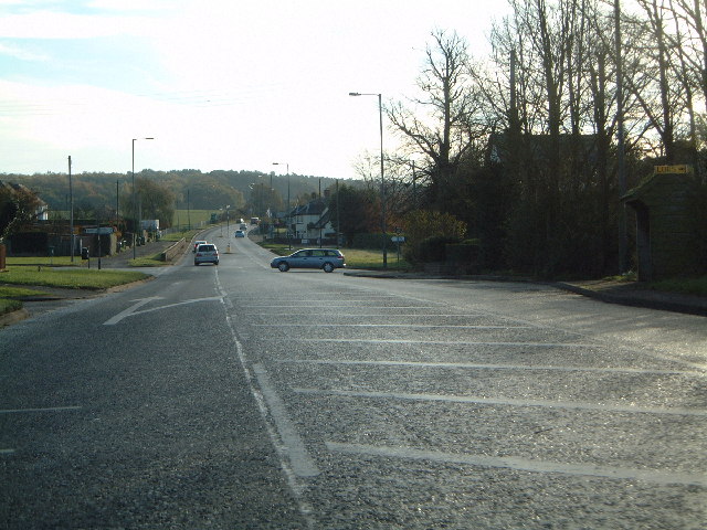
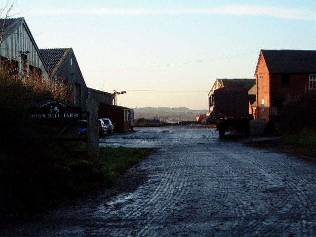
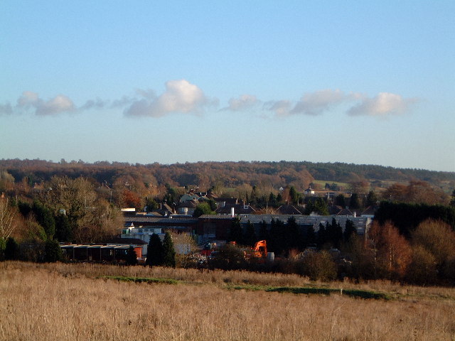
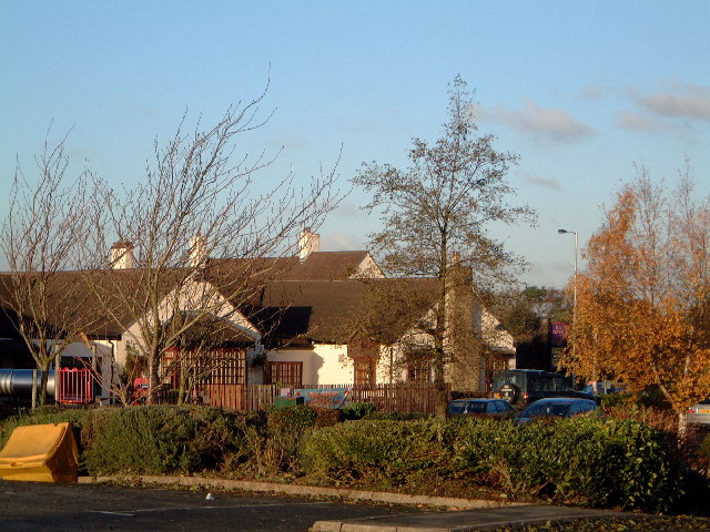
Moor Covert Images
Images are sourced within 2km of 52.783208/-2.0561936 or Grid Reference SJ9620. Thanks to Geograph Open Source API. All images are credited.

Moor Covert is located at Grid Ref: SJ9620 (Lat: 52.783208, Lng: -2.0561936)
Administrative County: Staffordshire
District: Stafford
Police Authority: Staffordshire
What 3 Words
///rashers.cover.suggested. Near Great Haywood, Staffordshire
Nearby Locations
Related Wikis

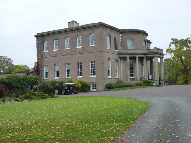
Milford Hall
Milford Hall is a privately owned 18th-century English country house at Milford, near Stafford. It is the family seat of the Levett Haszard family and...

Walton-on-the-Hill, Staffordshire
Walton-on-the-Hill is a village in the Borough of Stafford in Staffordshire, England. It is about 5 km east of the centre of Stafford, and lies on the...
Walton High School, Stafford
Walton High School is a large mixed secondary school and sixth form serving a community in the southern part of Stafford, England.There are approximately...
Milford, Staffordshire
Milford is a village in the county of Staffordshire, England. It lies at the edge of Cannock Chase, on the A513 road between Stafford and Rugeley. Just...

Berkswich
Berkswich ( BAHK-switch) is a civil parish in the borough of Stafford in Staffordshire, England. According to the 2001 census it had a population of 1...

Milford and Brocton railway station
Milford and Brocton railway station served the villages of Milford and Brocton in Staffordshire, England from 1877 to 1950 on the Trent Valley line....

Brocton, Staffordshire
Brocton is a village and civil parish in the English county of Staffordshire. It is within the borough of Stafford. The village describes itself as the...

Shugborough Tunnel
The Shugborough Tunnel is a 777-yard (710 m) railway tunnel on the Trent Valley line running under part of the Shugborough Estate in Colwich, Staffordshire...
Related Videos

Product Preview: On Cloudwander & Cloudtrax Hiking Boots / Shoes | Run and Ride
On Cloudtrax Walking Boot // Designed for both street and mountain peak, this hiking boot is engineered to give you ideal comfort ...

Walking The Staffordshire and Worcester Canal (Part 2)
My second walk along the towpath of The Staffordshire and Worcestershire Canal continuing from Saint Thomas Bridge in ...

WALK WITH THOMAS | CANAL WALK | STAFFORDSHIRE
Walk with me as I take you on adventure, this time we are walking along the Great Haywood towpath towards the Shugborough ...

Walking Ambience - Cannock Chase #1 - ASMR
Welcome back to another ASMR walking video! Today, I'm out on a section of Cannock Chase, not far from Stafford (my home ...
Nearby Amenities
Located within 500m of 52.783208,-2.0561936Have you been to Moor Covert?
Leave your review of Moor Covert below (or comments, questions and feedback).