Black Plantation
Wood, Forest in Northumberland
England
Black Plantation
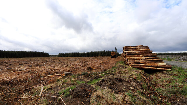
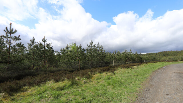
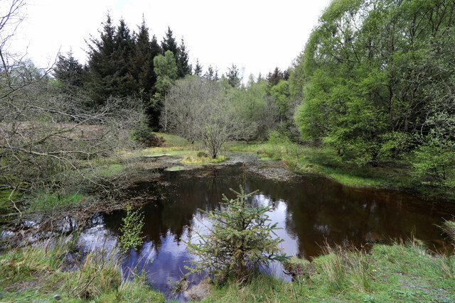
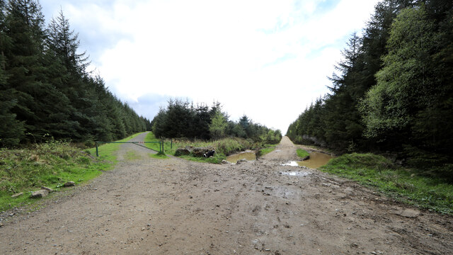
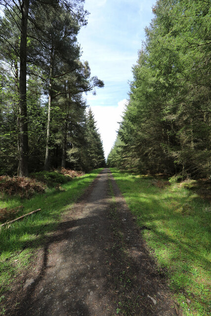
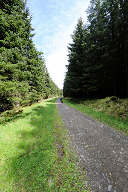
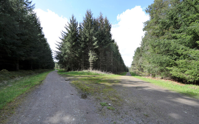
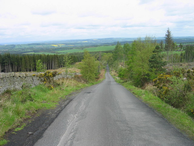
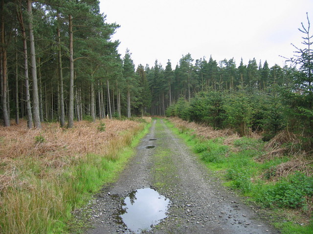
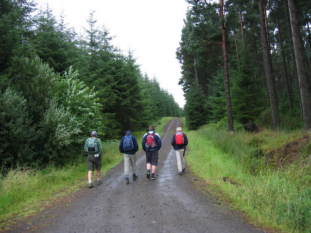
Black Plantation is a woodland area located in Northumberland, England. It is situated within the larger Black Plantation Forest, which covers a total area of approximately 500 hectares. The woodland is characterized by its dense vegetation, primarily consisting of a variety of tree species such as oak, beech, and birch. These trees create a lush and vibrant canopy that provides habitat for numerous animal species.
The area is known for its rich biodiversity, with a diverse range of flora and fauna. The forest floor is covered in a thick layer of leaf litter, providing a habitat for small mammals, insects, and fungi. Additionally, the woodland is home to several bird species, including woodpeckers, owls, and various songbirds.
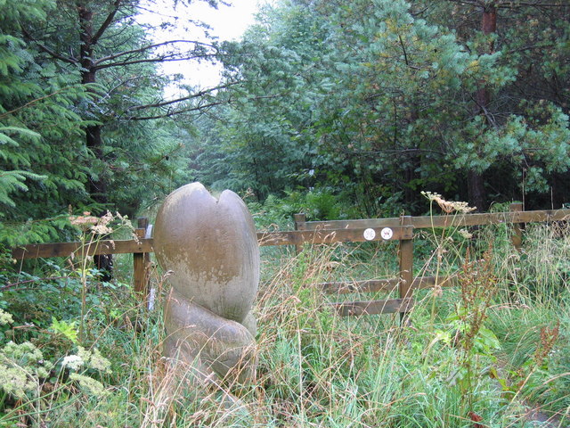
Black Plantation is a popular destination for outdoor enthusiasts and nature lovers. It offers a network of well-maintained footpaths and trails, allowing visitors to explore the woodland and admire its natural beauty. The forest is also equipped with picnic areas, making it an ideal spot for families and groups to enjoy a day out in nature.
The management of Black Plantation is carried out by the local forestry commission, which ensures the preservation and sustainable use of the woodland. This includes the implementation of various conservation measures and the promotion of responsible visitor activities.
Overall, Black Plantation in Northumberland is a stunning forested area that offers a tranquil retreat for nature enthusiasts. Its diverse flora and fauna, combined with its well-maintained facilities, make it a fantastic destination for outdoor exploration and appreciation of the natural world.
If you have any feedback on the listing, please let us know in the comments section below.
Black Plantation Images
Images are sourced within 2km of 54.900727/-2.059163 or Grid Reference NY9656. Thanks to Geograph Open Source API. All images are credited.


Black Plantation is located at Grid Ref: NY9656 (Lat: 54.900727, Lng: -2.059163)
Unitary Authority: Northumberland
Police Authority: Northumbria
What 3 Words
///dose.political.race. Near Slaley, Northumberland
Nearby Locations
Related Wikis

Slaley, Northumberland
Slaley is a village in Northumberland, England. It is situated to the southeast of Hexham. It is surrounded by the following villages: Ruffside, Whitley...

Colpitts Grange
Colpitts Grange is a hamlet in Northumberland, England. It is about 7 miles (11 km) to the south-east of Hexham. == Governance == Colpitts Grange is in...

Slaley Hall
Slaley Hall is a country house golf resort in Northumberland in North East England, built by local developers Seamus O'Carroll and John Rourke which hosted...

Rowley Burn (Northumberland)
Rowley Burn (also known as Rowley Brook and Ham Burn, NY 9358) is a stream in Northumberland, running around three miles south of Hexham before joining...

Hexhamshire Low Quarter
Hexhamshire Low Quarter is a former civil parish, now in the parish of Hexhamshire, in Northumberland, England. It was situated to the south of Hexham...

Juniper, Northumberland
Juniper is a hamlet in the English county of Northumberland. It is about 5 miles (8 km) due south of Hexham in the area known as Hexhamshire. There is...
Hexhamshire
Hexhamshire is a civil parish in Northern England. It was incorporated into Northumberland in 1572. == History == Hexhamshire was originally a single parish...

Whitley Chapel
Whitley Chapel is a village in Northumberland, England about 4 miles (6 km) south of Hexham, and in the parish of Hexhamshire. == Governance == Whitley...
Related Videos

Winter Wildcamping with my dog
A chilly and breezy Winter Wildcamp after the hectic Christmas holidays it's always nice to re centre with some time in the woods.

Wildcamping Hexham…… Kind of
So I decided to embark on a solo Wildcamp in my favourite forest with my sidekick Koda and encountered a few problems along ...

Slaley, Slaley Forest and Devil's Water #Northumberland loop walk with iWalks NE (10 miles)
A serendipitous one: I'd intended to go out by myself, the day before, but the weather was awful...but saw an invitation for a rare ...

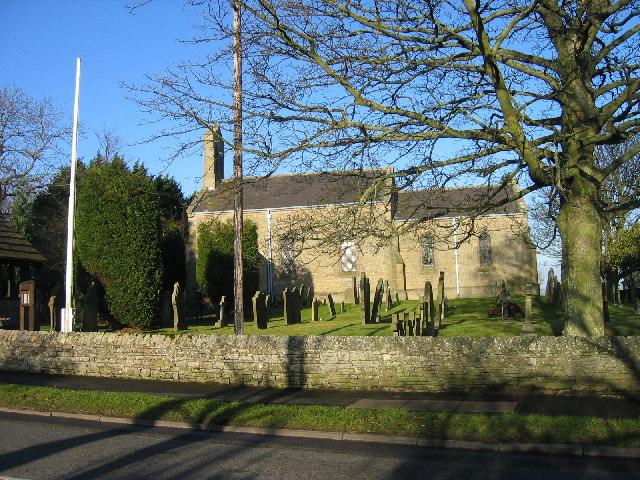
St Mary's Church, Slaley, Hexham, Northumberland, England - 17th February, 2019
Views of St Mary's Church, Slaley, Hexham, Northumberland, England - 17th February, 2019. I've just added a new film to my ...
Have you been to Black Plantation?
Leave your review of Black Plantation below (or comments, questions and feedback).