Overbury Wood

Wood, Forest in Worcestershire Wychavon

England

Overbury Wood

Rider passes cottage in snowy Kemerton, 1953 Date approximate.
Rider passes cottage in snowy Kemerton, 1953 Credit: David Hawgood

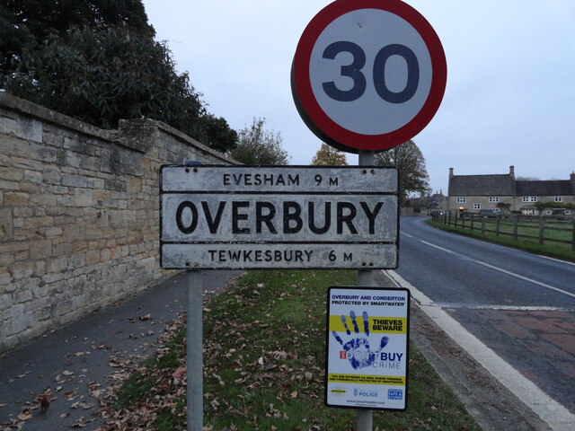
Overbury Wood is a picturesque woodland located in Worcestershire, England. Covering an area of approximately 60 acres, it is nestled in the heart of the Cotswolds, offering visitors a tranquil and scenic retreat. The wood is situated near the village of Overbury, just a short distance from the market town of Tewkesbury.

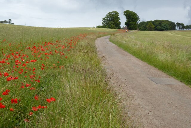
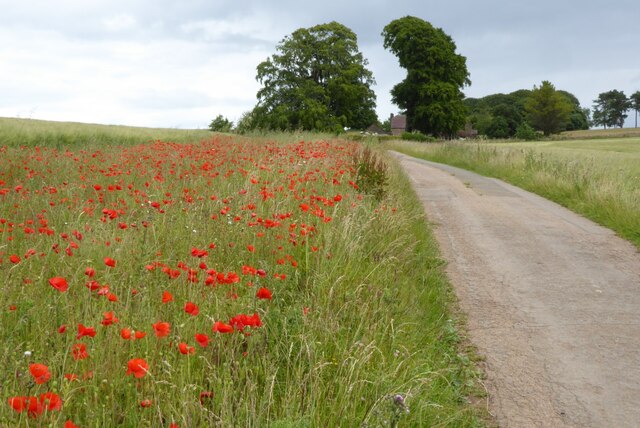
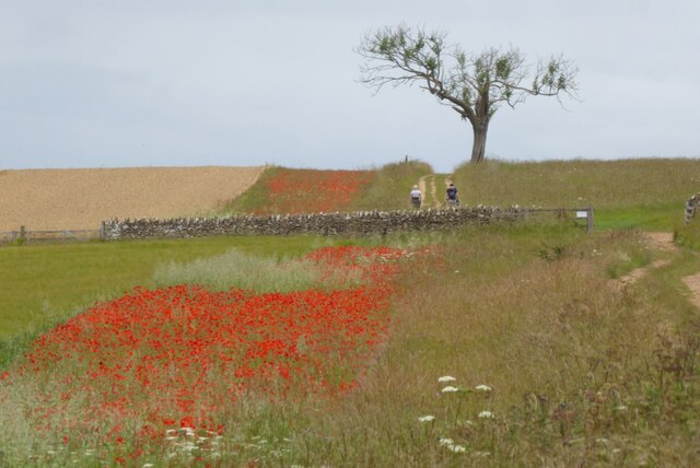
The wood boasts a diverse range of tree species, including oak, beech, ash, and birch, creating a rich and varied ecosystem. The woodland floor is adorned with an array of wildflowers, such as bluebells and primroses, adding a splash of color during the spring months. The canopy of the trees provides a haven for a variety of bird species, making it a popular spot for birdwatching enthusiasts.

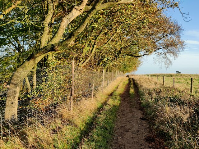
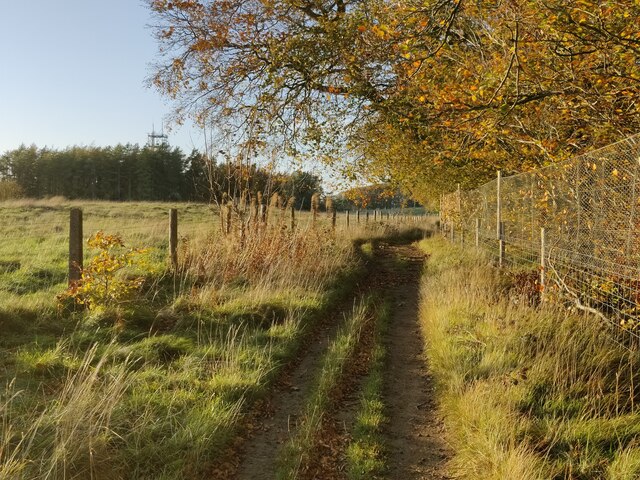
Visitors to Overbury Wood can explore the well-maintained network of walking trails that wind their way through the woodland. These paths offer a chance to immerse oneself in nature, with opportunities to spot wildlife and enjoy the peaceful surroundings. Interpretive signs along the way provide information about the flora and fauna found within the wood, enhancing the educational experience.

The wood is managed by a dedicated team of conservationists who work to preserve its natural beauty and protect its wildlife. They organize regular guided nature walks and educational programs, allowing visitors to learn more about the importance of woodland conservation.

Overall, Overbury Wood is a haven for nature lovers, offering a serene escape from the hustle and bustle of everyday life. Its stunning scenery, diverse wildlife, and well-maintained trails make it a must-visit destination for those seeking a peaceful woodland experience.

If you have any feedback on the listing, please let us know in the comments section below.

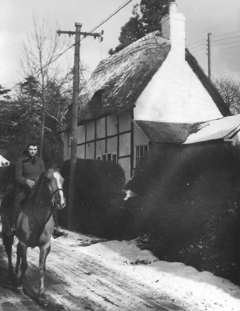
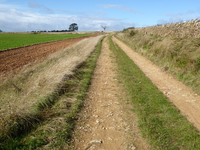
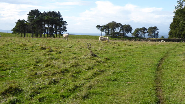
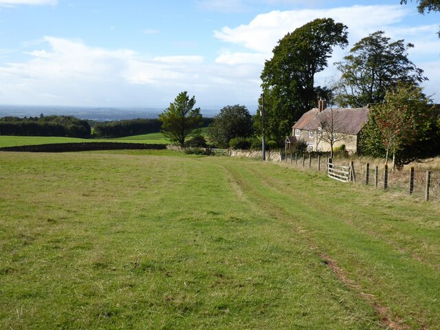
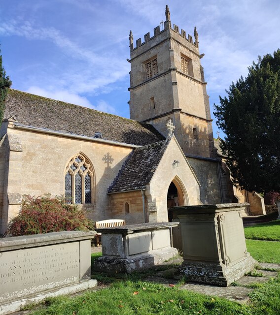
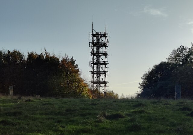
Overbury Wood Images

Images are sourced within 2km of 52.044325/-2.0553162 or Grid Reference SO9638. Thanks to Geograph Open Source API. All images are credited.

Rider passes cottage in snowy Kemerton, 1953 Date approximate.
Rider passes cottage in snowy Kemerton, 1953
Date approximate.
Bottle stall, Bredon Hill Flower Show, Kemerton 1954 The first Bredon Hill Flower Show was held at the Victoria Hall Kemerton on 13th September 1947 and was held annually for many years. The flowers and vegetables on show were in the hall, in the adjoining field were various fairground-type stalls like hoopla, whack the mole, lucky dip, bowling for a pig, and this one where you draw a ticket and win a bottle, mainly lemonade or beer, a few bottles of spirits or sherry.
Bottle stall, Bredon Hill Flower Show, Kemerton 1954
The first Bredon Hill Flower Show was held at the Victoria Hall Kemerton on 13th September 1947 and was held annually for many years. The flowers and vegetables on show were in the hall, in the adjoining field were various fairground-type stalls like hoopla, whack the mole, lucky dip, bowling for a pig, and this one where you draw a ticket and win a bottle, mainly lemonade or beer, a few bottles of spirits or sherry.
Track on Bredon Hill Track and permissive path near Lalu Farm on Bredon Hill.
Track on Bredon Hill
Track and permissive path near Lalu Farm on Bredon Hill.
Sheep and trees on Bredon Hill The trees in the background are in clump giving the impression it has been planted as an estate parkland.
Sheep and trees on Bredon Hill
The trees in the background are in clump giving the impression it has been planted as an estate parkland.
Bridleway passing Lalu Farm Bridleway passing Lalu Farm on Bredon Hill with Gloucestershire and the Severn vale in the distance.
Bridleway passing Lalu Farm
Bridleway passing Lalu Farm on Bredon Hill with Gloucestershire and the Severn vale in the distance.
Drive to Lalu Farm Poppies beside the drive on Bredon Hill leading to Lalu Farm.
Drive to Lalu Farm
Poppies beside the drive on Bredon Hill leading to Lalu Farm.
Poppies on Bredon Hill Poppies on Bredon Hill near Lalu Farm.
Poppies on Bredon Hill
Poppies on Bredon Hill near Lalu Farm.
Drive to Lalu Farm Poppies in the field headland beside the drive to Lalu Farm on Bredon Hill.
Drive to Lalu Farm
Poppies in the field headland beside the drive to Lalu Farm on Bredon Hill.
Poppies on Bredon Hill Poppies on Bredon Hill near Lalu Farm.
Poppies on Bredon Hill
Poppies on Bredon Hill near Lalu Farm.
Walkers on Bredon Hill Poppies in a field headland beside a track on Bredon Hill.  Walkers on the track are heading for Parsons Folly and summit of Bredon Hill.
Walkers on Bredon Hill
Poppies in a field headland beside a track on Bredon Hill. Walkers on the track are heading for Parsons Folly and summit of Bredon Hill.
Village Signpost for Kemerton Located on the south side of the road 55 metres east of the junction near St Benet's church in Kemerton parish. Kemerton was in Gloucestershire until 1931.

Milestone Society National ID: WO_SO9437V
Village Signpost for Kemerton
Located on the south side of the road 55 metres east of the junction near St Benet's church in Kemerton parish. Kemerton was in Gloucestershire until 1931. Milestone Society National ID: WO_SO9437V
Village Signpost for Overbury Located on the north side of the road 130 metres west of the junction with Church Row in Overbury parish.

Milestone Society National ID: WO_SO9537V
Village Signpost for Overbury
Located on the north side of the road 130 metres west of the junction with Church Row in Overbury parish. Milestone Society National ID: WO_SO9537V
Corn harvest stooks, Kemerton 1952 Beyond the field with cattle are the houses of Bayliss Road, council houses built just after the second world war.
Scan from 6x6 cm print, camera Agfa Isolette.
Corn harvest stooks, Kemerton 1952
Beyond the field with cattle are the houses of Bayliss Road, council houses built just after the second world war. Scan from 6x6 cm print, camera Agfa Isolette.
St Faith's Church, Overbury
St Benet's R.C. Church
Telecommunications mast on Bredon Hill Bredon Hill, 299 m (981 ft), is in South Worcestershire, it is geologically part of the Cotswolds but stands isolated in the Vale of Evesham.
There is a small stone tower on the summit called Parsons Folly, along with the remains of an Iron Age hill fort known as Kemerton Camp, abandoned in the 1st century AD.
Telecommunications mast on Bredon Hill
Bredon Hill, 299 m (981 ft), is in South Worcestershire, it is geologically part of the Cotswolds but stands isolated in the Vale of Evesham. There is a small stone tower on the summit called Parsons Folly, along with the remains of an Iron Age hill fort known as Kemerton Camp, abandoned in the 1st century AD.
Wychavon Way at Long Plantation on Bredon Hill The Wychavon Way begins in the Worcestershire town of Droitwich Spa and ends in the Cotswold village of Broadway. The trail is about 40 miles (64 km) in length and was created in 1977 to celebrate the Queen's Silver Jubilee.
Wychavon Way at Long Plantation on Bredon Hill
The Wychavon Way begins in the Worcestershire town of Droitwich Spa and ends in the Cotswold village of Broadway. The trail is about 40 miles (64 km) in length and was created in 1977 to celebrate the Queen's Silver Jubilee.
Show me another place!

Overbury Wood is located at Grid Ref: SO9638 (Lat: 52.044325, Lng: -2.0553162)

Administrative County: Worcestershire

District: Wychavon

Police Authority: West Mercia

What 3 Words

///condition.scrapped.plank. Near Bredon, Worcestershire

Related Wikis

Overbury

Overbury is a village and civil parish in Worcestershire, England, midway between Evesham and Tewkesbury south of Bredon Hill. The manor of Overbury was...

Overbury Court

Overbury Court is a Georgian style country house in Overbury, Worcestershire, England. It is a privately owned Grade II* listed building. It is built in...

Conderton

Conderton is a small hamlet in the Wychavon district of Worcestershire, England. == Toponymy == The name Conderton is derived from the Old English Cantware...
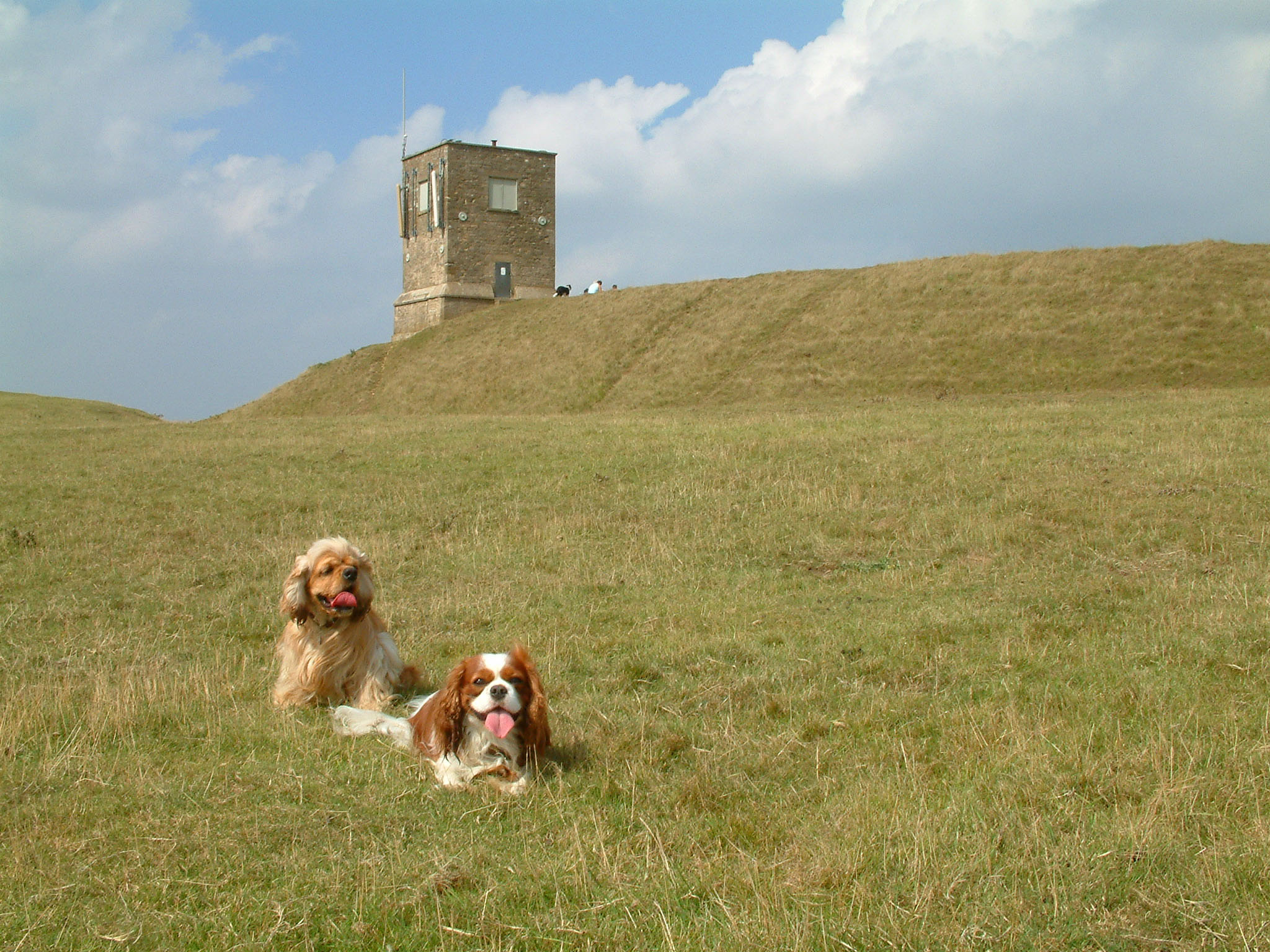
Bredon Hill

Bredon Hill is a hill in Worcestershire, England, south-west of Evesham in the Vale of Evesham. The summit of the hill is in the parish of Kemerton, and...

Kemerton

Kemerton is a village and civil parish in Worcestershire in England. It lies at the extreme south of the county in the local government district of Wychavon...

Bredon Hill Hoard

The Bredon Hill Hoard (also known as the Bredon Hill Roman Coin Hoard) is a hoard of 3,784 debased silver Roman coins discovered in June 2011 by two metal...

Elmley Castle (castle)

Elmley Castle was a late 11th-century earthwork and timber castle which received stone additions in the 12th and possibly 13th centuries, located 0.5 miles...

Kemerton Court

Kemerton Court is the principal manor house of the village of Kemerton, near Tewkesbury in Gloucestershire. The house is built of local Cotswold stone...

Nearby Amenities

Located within 500m of 52.044325,-2.0553162
Barrier: cattle_grid
Lat/Long: 52.0460974/-2.0596602
Barrier: cattle_grid
Source: Bing
Lat/Long: 52.0430045/-2.0605076
Fixme: Is there a public footpath heading north from here?
Lat/Long: 52.0419288/-2.0570642
Overbury Court Park
Listed Status: Grade II*
Listed Status Register: Parks and Gardens
Place: locality
Lat/Long: 52.0444144/-2.059384
Power: pole
Lat/Long: 52.0485252/-2.0577103
Power: pole
Lat/Long: 52.047627/-2.0580281
Power: pole
Lat/Long: 52.0467494/-2.0583534
Power: pole
Lat/Long: 52.0459819/-2.0586135
Power: pole
Lat/Long: 52.0457538/-2.059614
Fir Bank
Power: pole
Transformer: distribution
Voltage Primary: 11000
Lat/Long: 52.0462883/-2.0604153
Power: pole
Lat/Long: 52.045428/-2.0610054
Power: pole
Lat/Long: 52.0451051/-2.0624303
The data included in this document is from www.openstreetmap.org. The data is made available under ODbL.

Have you been to Overbury Wood?

Leave your review of Overbury Wood below (or comments, questions and feedback).