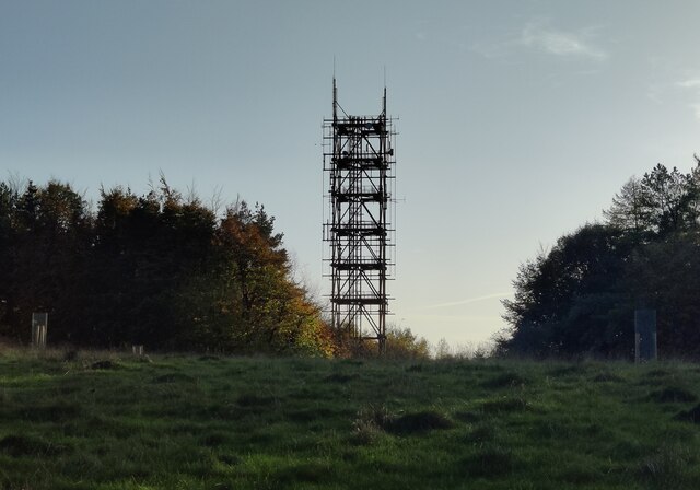
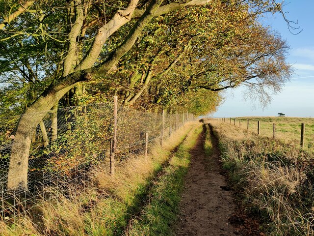
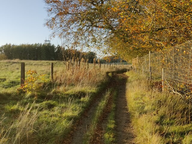
Surman's Plantation
Wood, Forest in Worcestershire Wychavon
England
Surman's Plantation
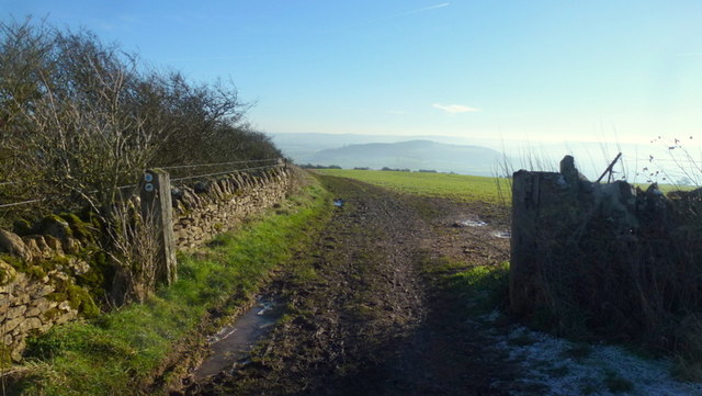
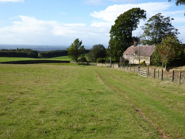
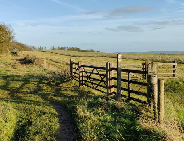
Surman's Plantation is a picturesque woodland area located in Worcestershire, England. Nestled within the enchanting surroundings of the county's sprawling forests, this plantation offers a serene retreat from the hustle and bustle of everyday life.
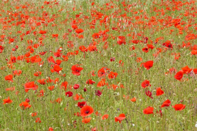
Covering an extensive area, Surman's Plantation is filled with a diverse range of trees, predominantly consisting of oak, beech, and birch. The rich variety of flora creates a vibrant tapestry of colors throughout the different seasons, making it a popular destination for nature enthusiasts and photographers alike.
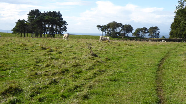
The plantation is a haven for wildlife, providing a habitat for various species of birds, small mammals, and insects. It is not uncommon to spot woodpeckers, squirrels, and deer roaming freely among the trees.
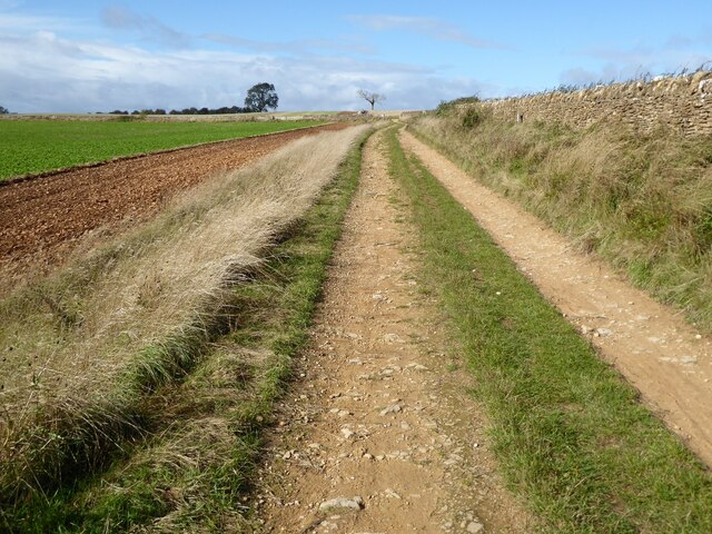
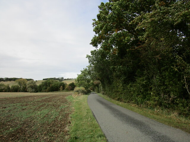
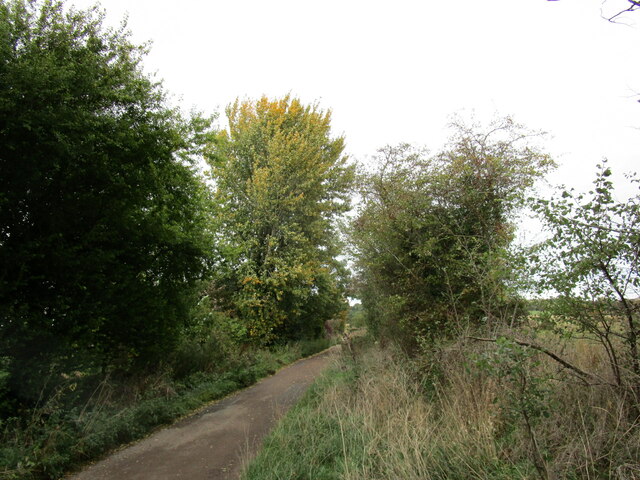
For those seeking outdoor activities, Surman's Plantation offers a network of well-maintained walking and cycling trails, allowing visitors to explore the woodland at their own pace. The tranquil atmosphere and scenic beauty make it an ideal spot for leisurely strolls, picnics, and family outings.
Surman's Plantation is easily accessible, with ample parking facilities and well-marked entrances. It is conveniently located near several charming villages, providing visitors with opportunities to explore the local culture and cuisine.
Whether you are seeking solace in nature or simply looking for a peaceful escape, Surman's Plantation offers a tranquil sanctuary amidst the natural beauty of Worcestershire's woodlands.
If you have any feedback on the listing, please let us know in the comments section below.
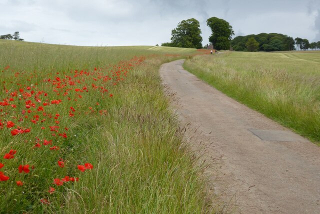
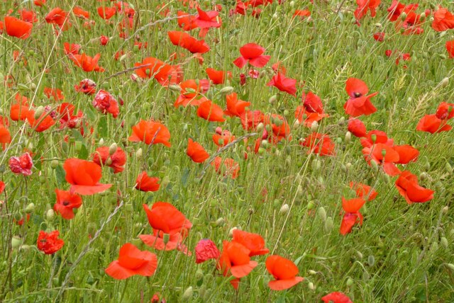
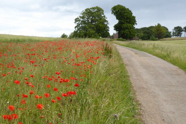
Surman's Plantation Images
Images are sourced within 2km of 52.041119/-2.046375 or Grid Reference SO9638. Thanks to Geograph Open Source API. All images are credited.

Surman's Plantation is located at Grid Ref: SO9638 (Lat: 52.041119, Lng: -2.046375)
Administrative County: Worcestershire
District: Wychavon
Police Authority: West Mercia
What 3 Words
///dummy.suitably.whistle. Near Bredon, Worcestershire
Nearby Locations
Related Wikis

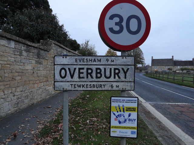
Overbury
Overbury is a village and civil parish in Worcestershire, England, midway between Evesham and Tewkesbury south of Bredon Hill. The manor of Overbury was...

Conderton
Conderton is a small hamlet in the Wychavon district of Worcestershire, England. == Toponymy == The name Conderton is derived from the Old English Cantware...

Overbury Court
Overbury Court is a Georgian style country house in Overbury, Worcestershire, England. It is a privately owned Grade II* listed building. It is built in...

Grafton, Worcestershire
Grafton is a hamlet in Worcestershire, England, situated between the villages of Beckford and Ashton under Hill, south-east of Bredon Hill. The name Grafton...

Beckford Nature Reserve
Beckford Nature Reserve is near Beckford, in Worcestershire, England, situated immediately north of the village. The nature reserve was created from a...

Beckford Priory
Beckford Priory was a medieval house of Augustinian Canons, historically within Gloucestershire, presently in Worcestershire, England. It was founded in...

Kemerton
Kemerton is a village and civil parish in Worcestershire in England. It lies at the extreme south of the county in the local government district of Wychavon...
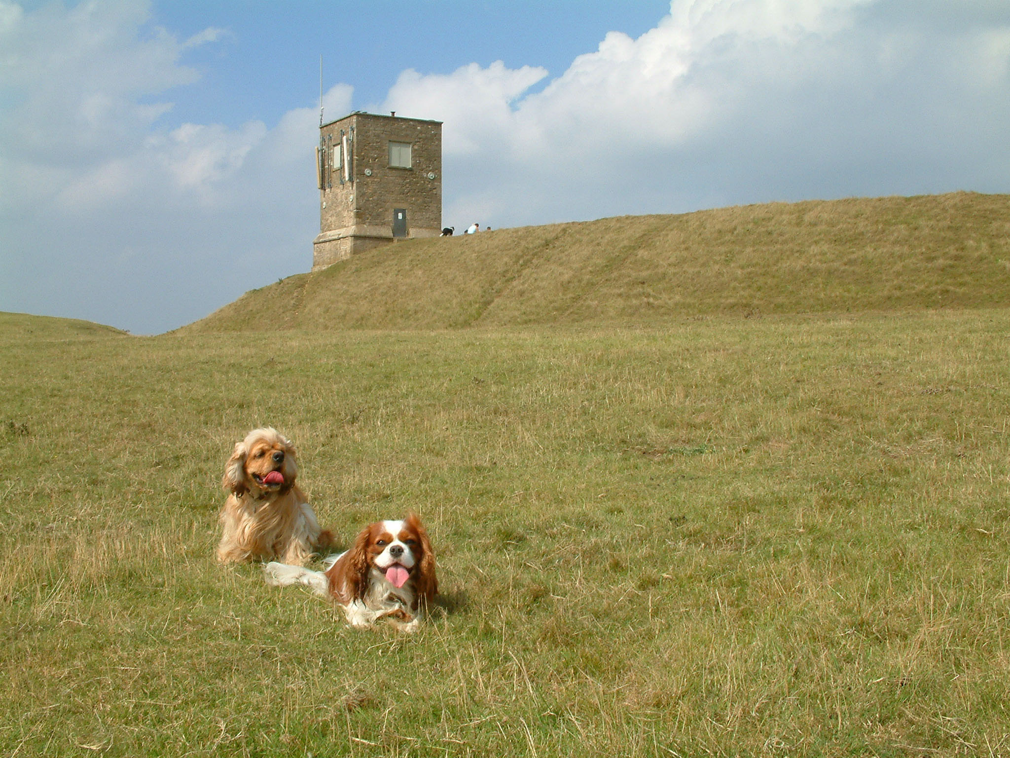
Bredon Hill
Bredon Hill is a hill in Worcestershire, England, south-west of Evesham in the Vale of Evesham. The summit of the hill is in the parish of Kemerton, and...
Nearby Amenities
Located within 500m of 52.041119,-2.046375Have you been to Surman's Plantation?
Leave your review of Surman's Plantation below (or comments, questions and feedback).