Century Plantation
Wood, Forest in Yorkshire Craven
England
Century Plantation
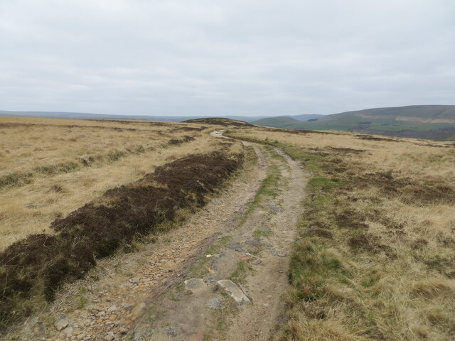
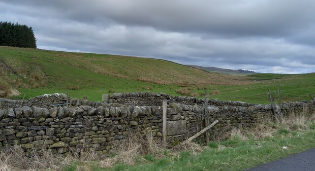
![Swinden Quarry [2] The roadway into the quarry.
The quarry is 2 miles south of Grassington and supplies limestone. The quarry is served by the former Skipton to Grassington railway, which now terminates here.](https://s1.geograph.org.uk/geophotos/07/03/90/7039041_721689be.jpg)
Century Plantation, located in Yorkshire, is a sprawling woodland area known for its natural beauty and rich history. Covering a vast expanse of land, the plantation is renowned for its dense forests and diverse ecosystem. The plantation is predominantly populated by century-old oak trees, hence the name, which add a majestic charm to the landscape.
The woodland's history dates back several centuries, with records indicating that it was first established in the late 18th century. Initially, the plantation served as a source of timber for the surrounding communities, contributing to the region's economic development. Over time, however, Century Plantation evolved into a protected area, prioritizing conservation and ecological preservation.
Walking through the plantation, visitors are greeted by a tranquil atmosphere and breathtaking scenery. The forest floor is adorned with a vibrant carpet of wildflowers, showcasing a diverse range of colors and fragrances. The woodland is home to a variety of wildlife, including deer, foxes, and numerous species of birds, making it a popular destination for nature enthusiasts and birdwatchers.
Century Plantation also offers a network of well-maintained trails, allowing visitors to explore the woodland's hidden treasures. These trails cater to both leisurely strolls and more challenging hikes, catering to individuals of all fitness levels. Additionally, there are designated picnic areas where visitors can relax and enjoy a meal amidst the natural beauty of the plantation.
Overall, Century Plantation is a cherished gem in Yorkshire, offering a serene escape from the hustle and bustle of everyday life. Its historical significance, coupled with its natural splendor, make it a must-visit destination for those seeking a true connection with nature.
If you have any feedback on the listing, please let us know in the comments section below.
Century Plantation Images
Images are sourced within 2km of 54.038974/-2.048567 or Grid Reference SD9660. Thanks to Geograph Open Source API. All images are credited.
Century Plantation is located at Grid Ref: SD9660 (Lat: 54.038974, Lng: -2.048567)
Division: West Riding
Administrative County: North Yorkshire
District: Craven
Police Authority: North Yorkshire
What 3 Words
///bucket.sedated.gradually. Near Grassington, North Yorkshire
Related Wikis


Related Videos
Grade II Listed Church Restoration with New Guttering, Purlins and Roof Slates, Rylstone, Skipton
We're just about to finish our work at St. Peter's Church in Rylstone, near Skipton, North Yorkshire. Our director Phil gives you the ...
Nearby Amenities
Located within 500m of 54.038974,-2.048567Have you been to Century Plantation?
Leave your review of Century Plantation below (or comments, questions and feedback).