Fleets

Settlement in Yorkshire Craven

England

Fleets

The Devonshire Arms - Cracoe
The Devonshire Arms - Cracoe Credit: Anthony Parkes

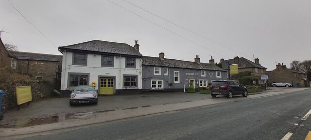
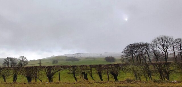
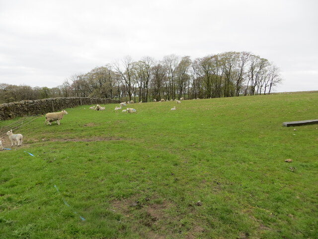
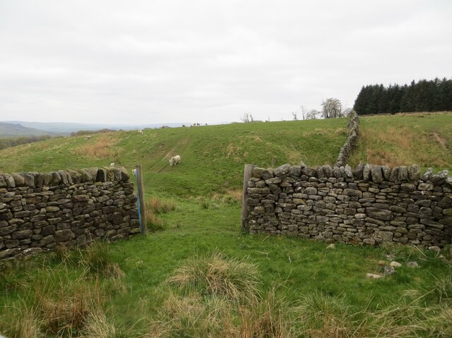
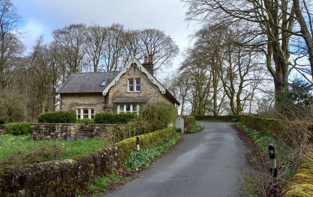
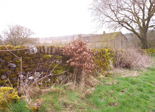
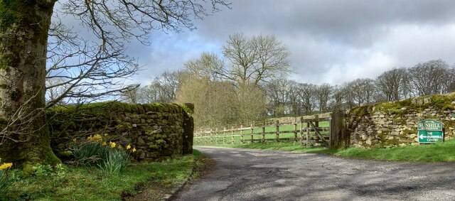
Fleets is a small village located in the county of Yorkshire, England. It is situated in the picturesque district of Ryedale, which is known for its stunning natural beauty and rich history. The village is set in a rural setting, surrounded by rolling hills, lush green fields, and charming countryside.

Fleets is home to a close-knit community, consisting of approximately 200 residents. The village exudes a tranquil and peaceful atmosphere, making it an ideal place for those seeking a quiet and idyllic lifestyle. The residents are friendly and welcoming, creating a warm and inclusive environment for newcomers.

The village is well-connected to nearby towns and cities, with good transport links available. The nearest town, Malton, is only a short drive away, offering a range of amenities including shops, schools, and healthcare facilities. Fleets itself has limited services, but residents can find basic amenities such as a local pub and a post office within the village.

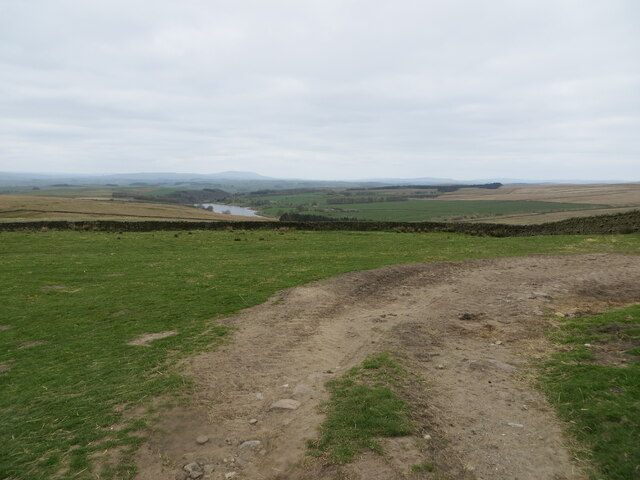
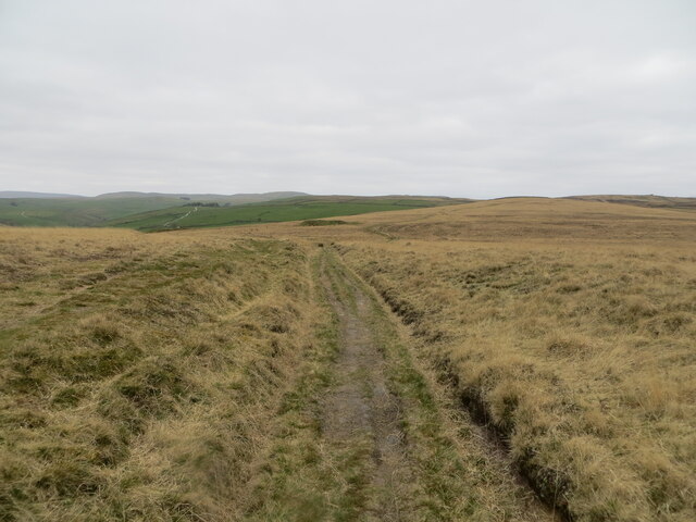
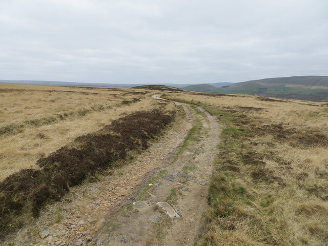
One of the highlights of Fleets is its natural surroundings. The village is surrounded by breathtaking landscapes, providing ample opportunities for outdoor activities such as hiking, cycling, and horseback riding. The nearby Howardian Hills Area of Outstanding Natural Beauty is a popular destination for nature enthusiasts.

In summary, Fleets is a charming and peaceful village nestled in the beautiful Yorkshire countryside. It offers a close-knit community, stunning natural landscapes, and easy access to nearby amenities. It is an ideal place for those seeking a tranquil and idyllic lifestyle in a picturesque setting.

If you have any feedback on the listing, please let us know in the comments section below.
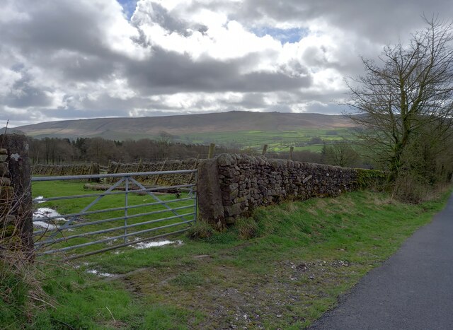
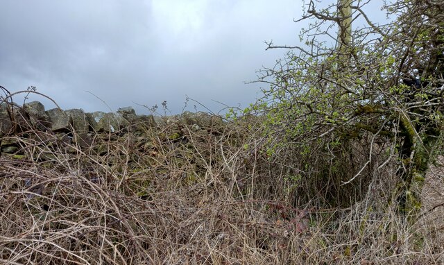
Fleets Images

Images are sourced within 2km of 54.040528/-2.056726 or Grid Reference SD9660. Thanks to Geograph Open Source API. All images are credited.

The Devonshire Arms - Cracoe
Fields at Cracoe Green
Pastureland hosting sheep and lambs Looking south-westward from Fleets Lane towards Sunhill Gill Plantation.
Pastureland hosting sheep and lambs
Looking south-westward from Fleets Lane towards Sunhill Gill Plantation.
Sheepfold with access to and from upland pasture Looking south-westward from Boss Moor Lane.
Sheepfold with access to and from upland pasture
Looking south-westward from Boss Moor Lane.
Wall enclosed upland pasture Looking south-westward from Boss Moor Lane. Winterburn Reservoir is visible in the far distance.
Wall enclosed upland pasture
Looking south-westward from Boss Moor Lane. Winterburn Reservoir is visible in the far distance.
Track crossing the open expanse of Boss Moor Looking northward.
Track crossing the open expanse of Boss Moor
Looking northward.
Track crossing Boss Moor Looking eastward.
Track crossing Boss Moor
Looking eastward.
Ordnance Survey Cut Mark This mark can be found on a gatepost near Sunhill beside Fleets/Boss Moor Lane.
The recorded details give a height of 252.6396 metres above sea level.
For more detail see : <span class="nowrap"><a title="https://www.bench-marks.org.uk/bm42978" rel="nofollow ugc noopener" href="https://www.bench-marks.org.uk/bm42978">Link</a><img style="margin-left:2px;" alt="External link" title="External link - shift click to open in new window" src="https://s1.geograph.org.uk/img/external.png" width="10" height="10"/></span>
Ordnance Survey Cut Mark
This mark can be found on a gatepost near Sunhill beside Fleets/Boss Moor Lane. The recorded details give a height of 252.6396 metres above sea level. For more detail see : LinkExternal link
Ordnance Survey Cut Mark This mark can be found on the wall of a sheepfold beside Boss Moor Lane.
The recorded details give a height of 281.5042 metres above sea level.
For more detail see : <span class="nowrap"><a title="https://www.bench-marks.org.uk/bm42977" rel="nofollow ugc noopener" href="https://www.bench-marks.org.uk/bm42977">Link</a><img style="margin-left:2px;" alt="External link" title="External link - shift click to open in new window" src="https://s1.geograph.org.uk/img/external.png" width="10" height="10"/></span>
Ordnance Survey Cut Mark
This mark can be found on the wall of a sheepfold beside Boss Moor Lane. The recorded details give a height of 281.5042 metres above sea level. For more detail see : LinkExternal link
Ordnance Survey Cut Mark This mark can be found on a gatepost at Boss Moor,
The recorded details give a height of 317.9308 metres above sea level.
For more detail see : <span class="nowrap"><a title="https://www.bench-marks.org.uk/bm42973" rel="nofollow ugc noopener" href="https://www.bench-marks.org.uk/bm42973">Link</a><img style="margin-left:2px;" alt="External link" title="External link - shift click to open in new window" src="https://s1.geograph.org.uk/img/external.png" width="10" height="10"/></span>
Ordnance Survey Cut Mark
This mark can be found on a gatepost at Boss Moor, The recorded details give a height of 317.9308 metres above sea level. For more detail see : LinkExternal link
Old Milestone by B6265, North of Cracoe at Junction with Thorpe Lane The milestone is located on the verge behind the chevron sign on the south east side of the road.  Parish of Cracoe (Craven District). Carved stone post, erected in the 18th Century. Broken across 50cm from base, now cemented together; was to north of lane, demolished, repaired twice, so resited on south east side. An earlier photograph can be found here: <a title="https://www.geograph.org.uk/photo/6738011" href="https://www.geograph.org.uk/photo/6738011">Link</a> 

Inscription reads:-  
To / Grassingt(on) / (3) / K(ettle)well / To / Skipton / 6 miles 

Milestone Society National ID: YN_SKKT06
Old Milestone by B6265, North of Cracoe at Junction with Thorpe Lane
The milestone is located on the verge behind the chevron sign on the south east side of the road.  Parish of Cracoe (Craven District). Carved stone post, erected in the 18th Century. Broken across 50cm from base, now cemented together; was to north of lane, demolished, repaired twice, so resited on south east side. An earlier photograph can be found here: Link  Inscription reads:- To / Grassingt(on) / (3) / K(ettle)well / To / Skipton / 6 miles Milestone Society National ID: YN_SKKT06
Fleets, Fleets Cottage The benchmark is cut into the east facing wall of the cottage, which is on the west side of the lane.
Fleets, Fleets Cottage
The benchmark is cut into the east facing wall of the cottage, which is on the west side of the lane.
Fleets, Fleets Cottage There is a benchmark cut into the east facing wall of the cottage, which is on the west side of the lane.
Fleets, Fleets Cottage
There is a benchmark cut into the east facing wall of the cottage, which is on the west side of the lane.
Fleets, Fleets Lane According to the OS benchmark database there is a pivot benchmark at this location cut into the roadside wall on the east side of the lane. Nothing was found.
Fleets, Fleets Lane
According to the OS benchmark database there is a pivot benchmark at this location cut into the roadside wall on the east side of the lane. Nothing was found.
Sunhill Centre, Fleets Lane According to the OS benchmark database there is a benchmark cut into a gatepost at the drive entrance. Nothing was found.
Sunhill Centre, Fleets Lane
According to the OS benchmark database there is a benchmark cut into a gatepost at the drive entrance. Nothing was found.
Fleets, Boss Moor Lane The benchmark is cut into a right hand gatepost at a field entrance on the east side of the lane.
Fleets, Boss Moor Lane
The benchmark is cut into a right hand gatepost at a field entrance on the east side of the lane.
Fleets, Boss Moor Lane There is a benchmark cut into the right hand gatepost at the field entrance on the east side of the lane.
Fleets, Boss Moor Lane
There is a benchmark cut into the right hand gatepost at the field entrance on the east side of the lane.
Fleets, Boss Moor Lane According to the OS benchmark database there is a benchmark cut into the roadside wall at this location on the west side of the lane. No search was made due to the thick brambles guarding the wall.
Fleets, Boss Moor Lane
According to the OS benchmark database there is a benchmark cut into the roadside wall at this location on the west side of the lane. No search was made due to the thick brambles guarding the wall.
Show me another place!

Fleets is located at Grid Ref: SD9660 (Lat: 54.040528, Lng: -2.056726)

Division: West Riding

Administrative County: North Yorkshire

District: Craven

Police Authority: North Yorkshire

What 3 Words

///mavericks.painter.strategy. Near Grassington, North Yorkshire

Related Wikis

Rylstone railway station

Rylstone railway station was a railway station that served the small village of Rylstone in North Yorkshire, England. It was built by the Yorkshire Dales...

Winterburn Reservoir

Winterburn Reservoir is located near the village of Winterburn in Malhamdale, North Yorkshire, England. It was constructed between 1885 and 1893 by Leeds...

St Peter's Church, Rylstone

St Peter's Church is in the village of Rylstone, North Yorkshire, England. It is an active Anglican parish church in the deanery of Skipton, the archdeaconry...

Rylstone

Rylstone is a village and civil parish in the Craven district of North Yorkshire, England. It is situated very near to Cracoe and about 6 miles south west...

Swinden Quarry

Swinden Quarry is 0.62 miles (1 km) north of the village of Cracoe, and 1.9 miles (3 km) south-west of Grassington in North Yorkshire, England. It is owned...

Hetton, North Yorkshire

Hetton is a small Dales village in the civil parish of Hetton-cum-Bordley, in the North Yorkshire district of North Yorkshire, England, situated 5.75 miles...

Cracoe

Cracoe is a small village and civil parish in the Craven district of North Yorkshire, England. It is situated near to Rylstone and about 6 miles south...

Winterburn

Winterburn is a village in the Craven district of North Yorkshire, England. It is about 5 miles (8 km) south west of Grassington. Winterburn Reservoir...

Related Videos

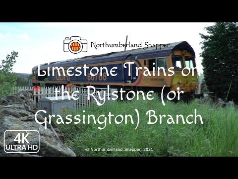
Limestone Trains on the Rylstone or Grassington Branch

Video created by Northumberland Snapper: https://northumberlandsnapper.blogspo... Please remember to subscribe if you like ...

Limestone Trains on the Rylstone (or Grassington) Branch Revisited

Video created by Northumberland Snapper: https://northumberlandsnapper.blogspot.com Please remember to subscribe if you ...

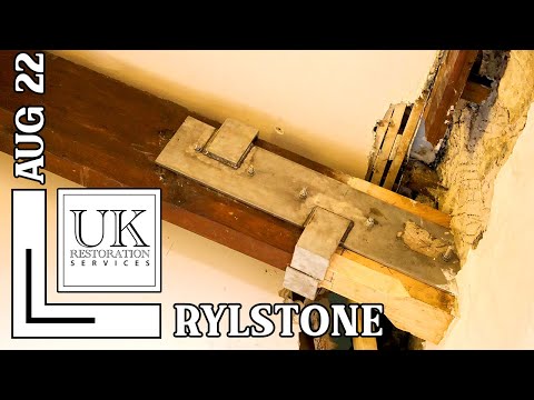
Grade II Listed Church Restoration with New Guttering, Purlins and Roof Slates, Rylstone, Skipton

We're just about to finish our work at St. Peter's Church in Rylstone, near Skipton, North Yorkshire. Our director Phil gives you the ...

Nearby Amenities

Located within 500m of 54.040528,-2.056726
Power: pole
Lat/Long: 54.0381024/-2.0528635
Power: pole
Lat/Long: 54.0375685/-2.0517424
The data included in this document is from www.openstreetmap.org. The data is made available under ODbL.

Have you been to Fleets?

Leave your review of Fleets below (or comments, questions and feedback).