Fleetville
Settlement in Hertfordshire St. Albans
England
Fleetville
Fleetville is a suburban area located in the county of Hertfordshire, England. Situated approximately 2 miles east of the city center of St Albans, Fleetville is a popular residential neighborhood known for its convenience and amenities.
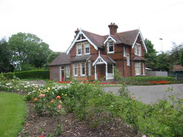
The area is primarily made up of residential properties, ranging from Victorian terraced houses to more modern homes. The streets are lined with trees, providing a pleasant and leafy atmosphere. Fleetville offers a mix of housing options, making it an attractive location for young professionals, families, and retirees.
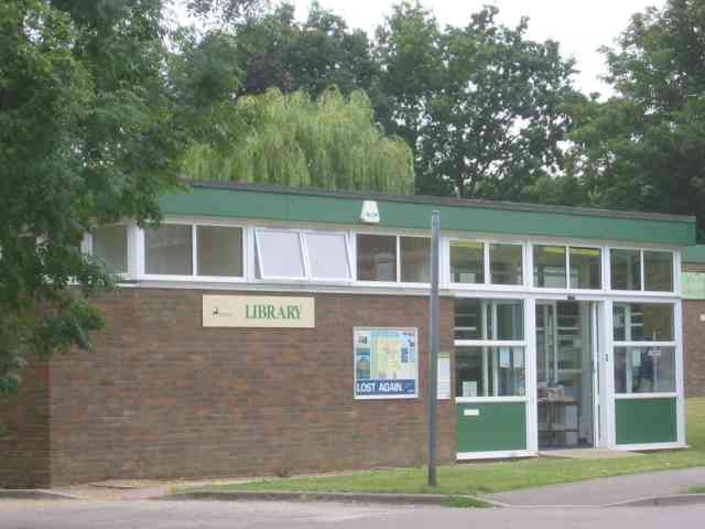
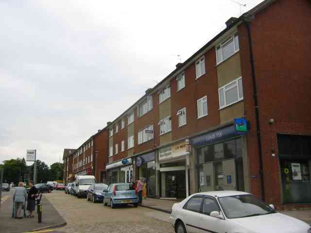
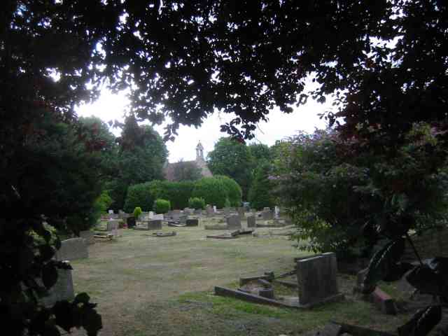
Fleetville benefits from a range of amenities, including local shops, supermarkets, and restaurants, making it self-sufficient and providing residents with easy access to everyday necessities. The area also boasts several parks and green spaces, such as Fleetville Recreation Ground and Clarence Park, offering opportunities for outdoor activities and relaxation.
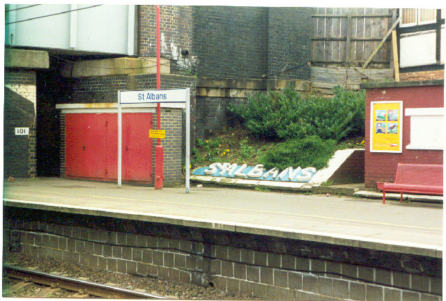
Transport links in Fleetville are excellent, with regular bus services connecting the area to St Albans city center and surrounding towns. The nearest train station is St Albans City, which provides frequent services to London and other major cities.
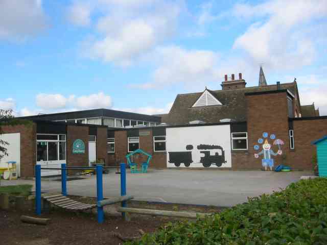
Fleetville is also home to several schools, including Fleetville Infant and Nursery School and Fleetville Junior School, making it an ideal location for families with young children.
Overall, Fleetville offers a peaceful and convenient place to live, with its combination of residential properties, local amenities, and green spaces, making it an attractive choice for those seeking a suburban lifestyle within easy reach of St Albans.
If you have any feedback on the listing, please let us know in the comments section below.
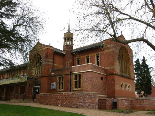
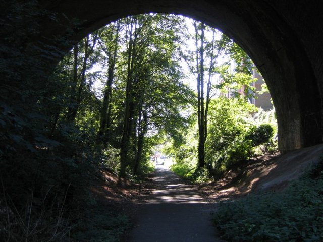
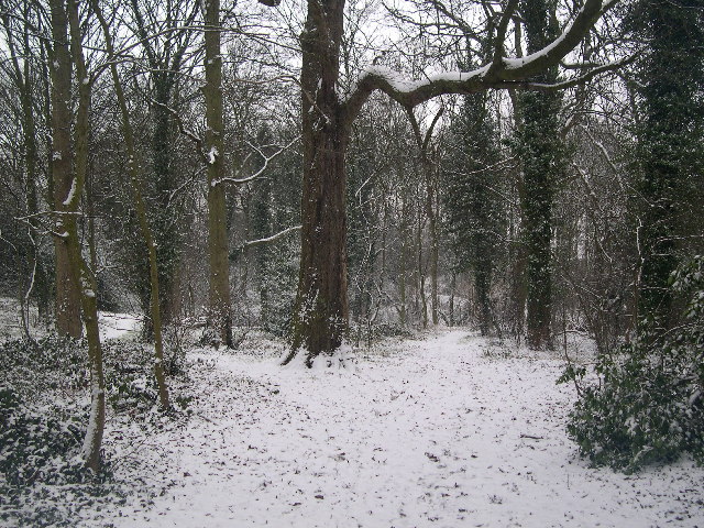
Fleetville Images
Images are sourced within 2km of 51.755925/-0.30587877 or Grid Reference TL1707. Thanks to Geograph Open Source API. All images are credited.


Fleetville is located at Grid Ref: TL1707 (Lat: 51.755925, Lng: -0.30587877)
Administrative County: Hertfordshire
District: St. Albans
Police Authority: Hertfordshire
What 3 Words
///tulip.gently.ground. Near St Albans, Hertfordshire
Nearby Locations
Related Wikis
Beaumont School, St Albans
Beaumont School is a coeducational secondary school and sixth form with academy status, located in St Albans, Hertfordshire, England. It was founded in...

Verulam School
Verulam School is an 11–18 boys state–funded secondary school with academy status in St Albans, Hertfordshire, England, founded in 1938 as St Albans Boys...

Campaign for Real Ale
The Campaign for Real Ale (CAMRA) is an independent voluntary consumer organisation headquartered in St Albans, England, which promotes real ale, cider...

The Wick Local Nature Reserve
The Wick is a 3.4 hectare Local Nature Reserve in St Albans in Hertfordshire. It is owned and managed by St Albans City Council. It is also designated...
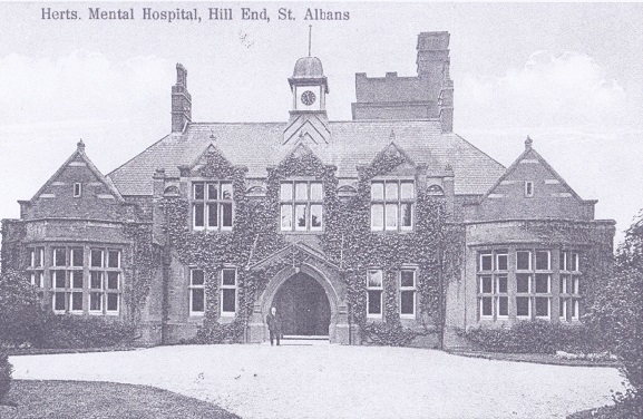
Hill End Hospital
Hill End Hospital was a mental health facility in St Albans in Hertfordshire, England. == History == The hospital, which was designed by George Thomas...

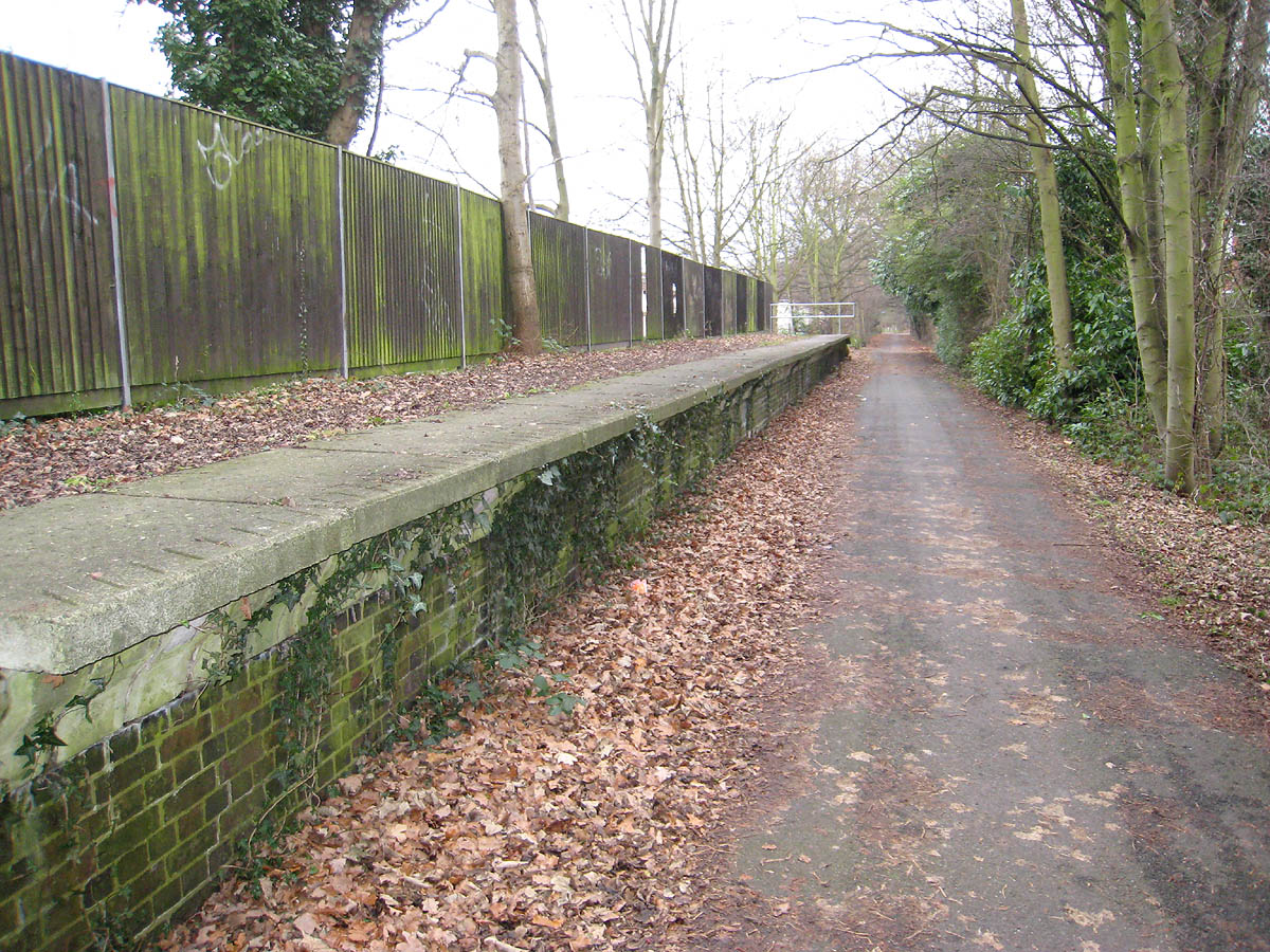
Salvation Army Halt railway station
Salvation Army Halt railway station was initially a private non-timetabled halt for the staff of Messrs Sander & Sons which had established an orchid-growing...
Hill End railway station
Hill End railway station was on the Great Northern Railway branch from Hatfield to St Albans in Hertfordshire, England. == History == The station, which...

Marshalswick
Marshalswick is a suburb of St Albans in Hertfordshire, England, located around 1.5 miles northeast of the city centre. The area was developed from the...
Nearby Amenities
Located within 500m of 51.755925,-0.30587877Have you been to Fleetville?
Leave your review of Fleetville below (or comments, questions and feedback).