The Moors
Wood, Forest in Staffordshire Stafford
England
The Moors
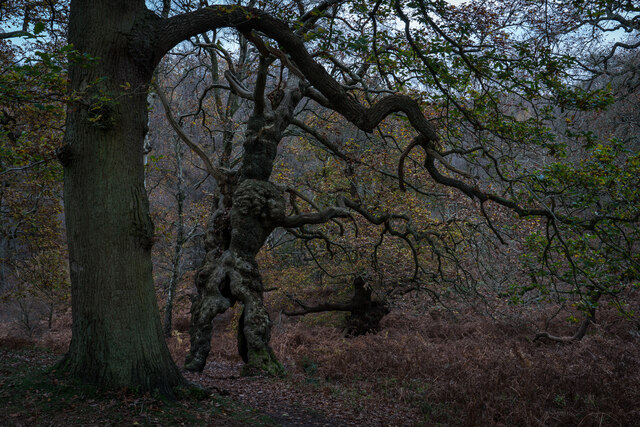
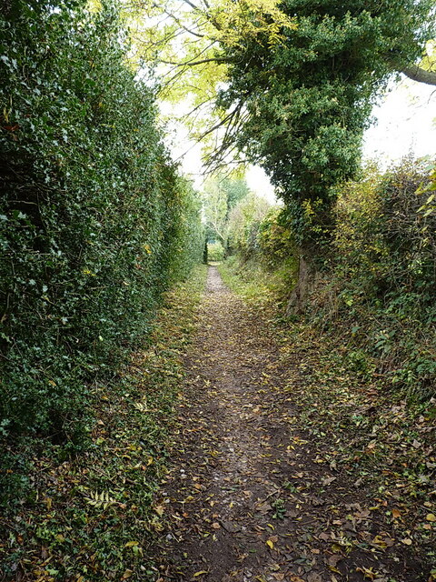
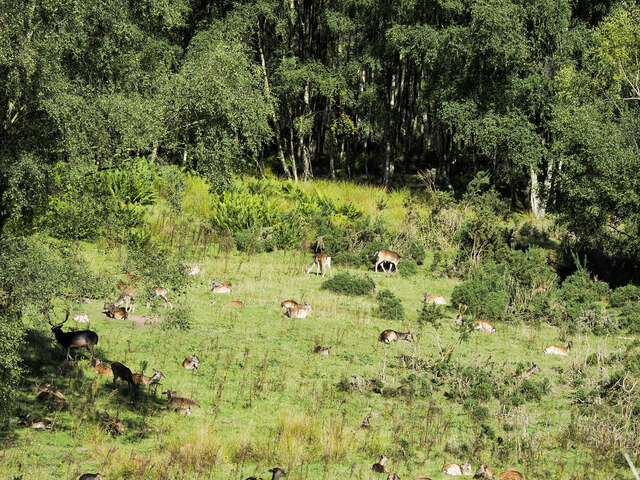
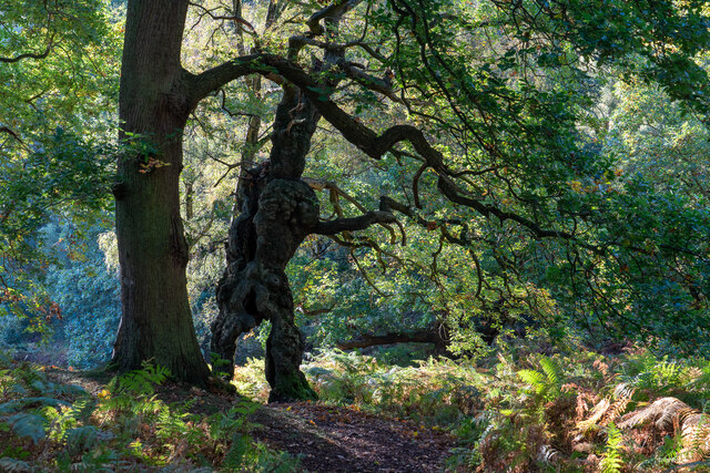
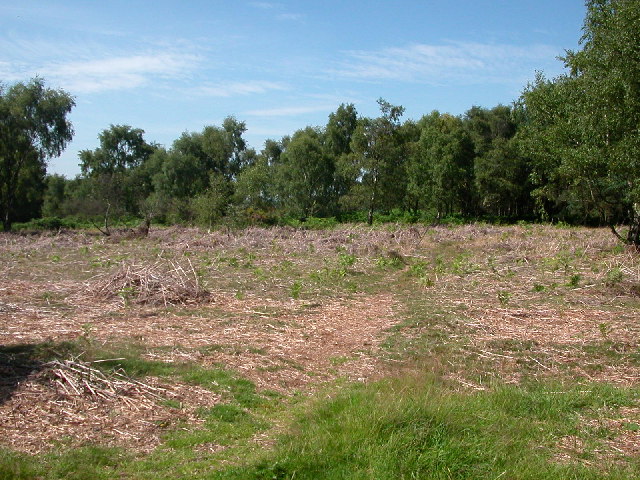
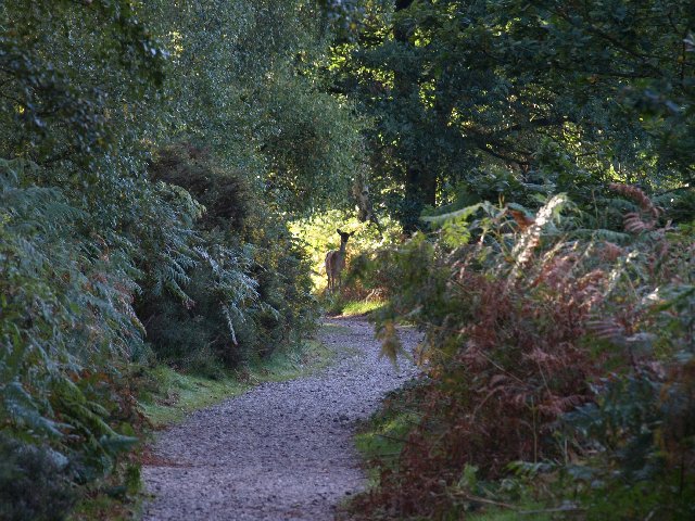
The Moors is a picturesque area located in Staffordshire, England. Covering a vast expanse of land, it is predominantly known for its dense woodlands and enchanting forests. The area is characterized by its rich biodiversity, with a diverse range of flora and fauna.
The Moors is a haven for nature lovers and outdoor enthusiasts, offering numerous trails and pathways for hiking and walking. Visitors can immerse themselves in the serene surroundings, breathing in the fresh air and taking in the stunning views of the woodlands. The dense vegetation provides a perfect habitat for various species of birds, making it a popular spot for birdwatching.
The Moors also boasts several bodies of water, including small streams and ponds, adding to its natural charm. These water features attract a variety of aquatic wildlife, such as ducks and frogs. The area is also home to a number of rare and protected species, including the great crested newt and the black grouse.
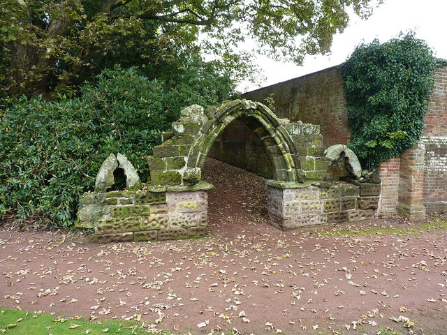
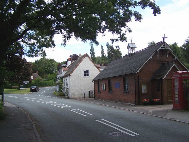
In addition to its natural beauty, The Moors has historical significance. The woodlands were once used for timber production, providing resources for the local community. Now, it serves as a recreational space for locals and tourists alike, offering opportunities for picnics and family outings.
Overall, The Moors in Staffordshire is a captivating destination, offering a blend of natural beauty, biodiversity, and historical significance. It is a place where visitors can escape the hustle and bustle of everyday life and reconnect with nature.
If you have any feedback on the listing, please let us know in the comments section below.
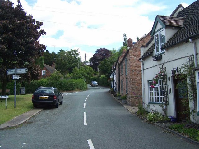
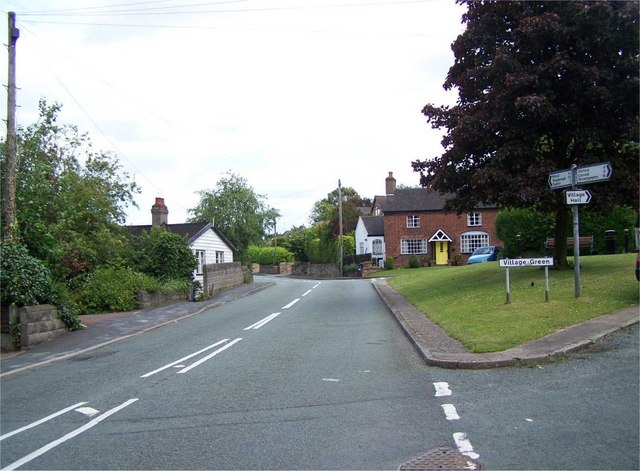
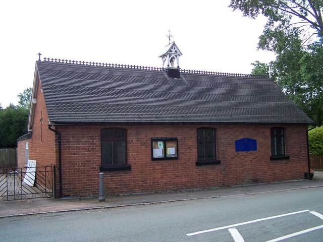
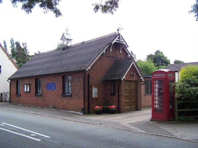
The Moors Images
Images are sourced within 2km of 52.784425/-2.0480405 or Grid Reference SJ9620. Thanks to Geograph Open Source API. All images are credited.
The Moors is located at Grid Ref: SJ9620 (Lat: 52.784425, Lng: -2.0480405)
Administrative County: Staffordshire
District: Stafford
Police Authority: Staffordshire
What 3 Words
///conforms.silly.longingly. Near Great Haywood, Staffordshire
Nearby Locations
Related Wikis

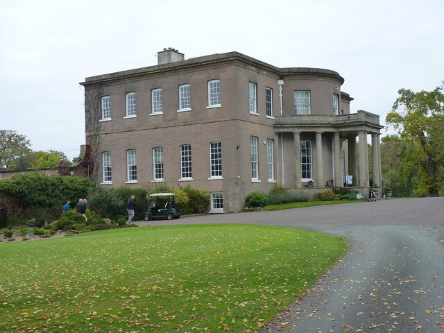
Milford Hall
Milford Hall is a privately owned 18th-century English country house at Milford, near Stafford. It is the family seat of the Levett Haszard family and...

Milford, Staffordshire
Milford is a village in the county of Staffordshire, England. It lies at the edge of Cannock Chase, on the A513 road between Stafford and Rugeley. Just...

Milford and Brocton railway station
Milford and Brocton railway station served the villages of Milford and Brocton in Staffordshire, England from 1877 to 1950 on the Trent Valley line....
Walton-on-the-Hill, Staffordshire
Walton-on-the-Hill is a village in the Borough of Stafford in Staffordshire, England. It is about 5 km east of the centre of Stafford, and lies on the...

Brocton, Staffordshire
Brocton is a village and civil parish in the English county of Staffordshire. It is within the borough of Stafford. The village describes itself as the...
Walton High School, Stafford
Walton High School is a large mixed secondary school and sixth form serving a community in the southern part of Stafford, England.There are approximately...

Shugborough Tunnel
The Shugborough Tunnel is a 777-yard (710 m) railway tunnel on the Trent Valley line running under part of the Shugborough Estate in Colwich, Staffordshire...

Berkswich
Berkswich ( BAHK-switch) is a civil parish in the borough of Stafford in Staffordshire, England. According to the 2001 census it had a population of 1...
Nearby Amenities
Located within 500m of 52.784425,-2.0480405Have you been to The Moors?
Leave your review of The Moors below (or comments, questions and feedback).