Crossgate

Settlement in Staffordshire Stafford

England

Crossgate

B5066 near Fulford
B5066 near Fulford Credit: Steven Brown

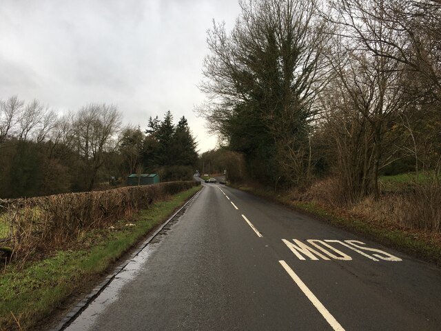
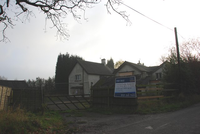
Crossgate is a small village located in the county of Staffordshire, England. Situated approximately 4 miles northeast of the town of Stafford, it falls within the Stafford Borough Council area. The village is nestled in a rural setting, surrounded by picturesque countryside and farmland.

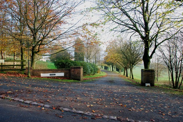
With a population of around 300 residents, Crossgate maintains its charm as a close-knit community. The village is characterized by its quaint cottages and historic buildings, many of which date back several centuries. The local architecture is predominantly traditional, reflecting the village's rich history.

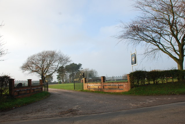
Despite its small size, Crossgate offers a range of amenities to its residents. These include a well-maintained village green, which serves as a focal point for community events and gatherings. There is also a local pub, which provides a welcoming space for socializing and enjoying traditional English cuisine.

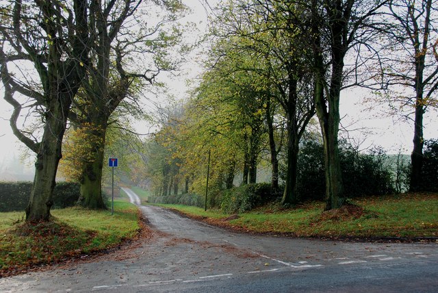
The village is conveniently located near major road networks, including the A34 and M6 motorway, providing easy access to nearby towns and cities. It is also within proximity to Stafford, a bustling market town that offers a wide range of shopping, leisure, and cultural opportunities.

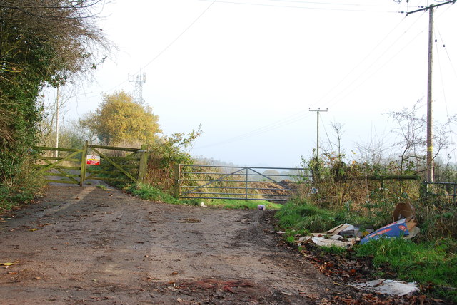
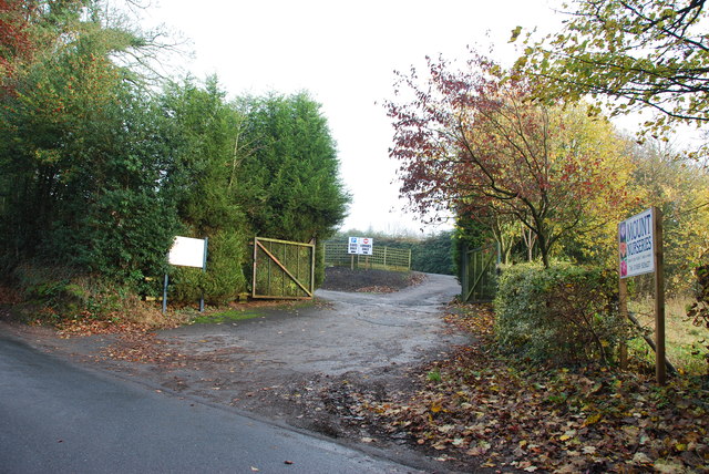
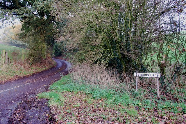
Surrounded by beautiful countryside, Crossgate offers numerous opportunities for outdoor activities such as walking, cycling, and horse riding. The village is also within reach of several notable attractions, including Shugborough Hall, a stately home and estate, and Cannock Chase, an Area of Outstanding Natural Beauty.

Overall, Crossgate offers a tranquil and idyllic setting for those seeking a peaceful village lifestyle, while still benefiting from proximity to larger towns and cities.

If you have any feedback on the listing, please let us know in the comments section below.
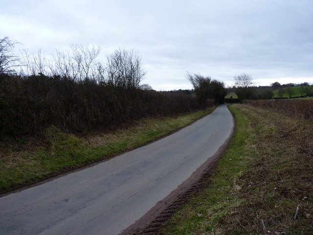
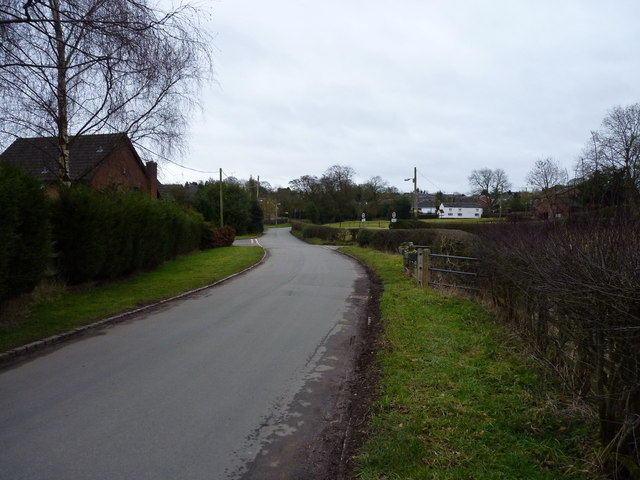
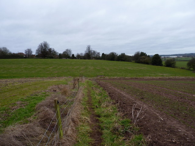
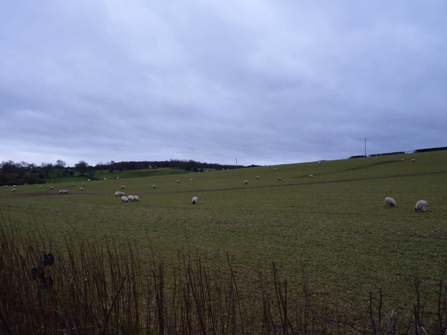
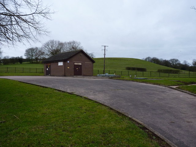
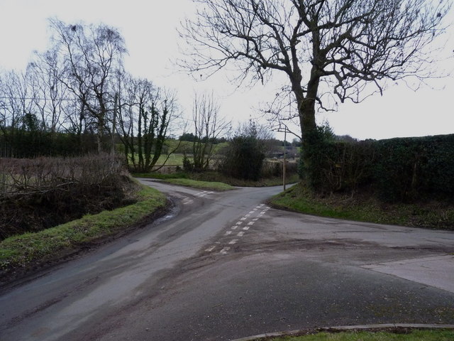
Crossgate Images

Images are sourced within 2km of 52.935301/-2.081799 or Grid Reference SJ9437. Thanks to Geograph Open Source API. All images are credited.

B5066 near Fulford
B5066 near Fulford
The Entrance Drive to Farthings
Driveway to Moddershall Cricket Club
The Unpleasant side of the Country
For Sale, Former Residential Care Home This old care home has seen better days, it looks semi derelict.
For Sale, Former Residential Care Home
This old care home has seen better days, it looks semi derelict.
The Entrance to Mount Nurseries
Balaams Lane leaving the B5066
The Driveway to Spot Farm from the B5066
Country lane near Fulford The lane runs from Stallington towards Moss Gate.
Country lane near Fulford
The lane runs from Stallington towards Moss Gate.
The northern side of Fulford
A footpath leading into Stallington A rural footpath from the church at Fulford, back to Stallington.
A footpath leading into Stallington
A rural footpath from the church at Fulford, back to Stallington.
Sheep in pasture fields near Fulford
Severn Trent's pumping station at Fulford
Crossroads of lanes NW of Fulford
Farm buildings outside Fulford Most of the barns have been (or are in the throes of being) converted to residential use.
Farm buildings outside Fulford
Most of the barns have been (or are in the throes of being) converted to residential use.
A beech stump on the path between Fulford and Stallington Two of the massive beeches alongside this path survive (one is behind me) - the third exists only as this stump.
A beech stump on the path between Fulford and Stallington
Two of the massive beeches alongside this path survive (one is behind me) - the third exists only as this stump.
Stallington Hall Stallington Hall (a.k.a. Stallington Grange) a formerly grand house, which belonged to Sir Smith Child, the MP for North Staffs in the 1850s and West Staffs in the 1870s. The hall was sold to Stoke on Trent City Council in the 1920s, whereupon it was converted to a hospital for the mentally infirm.
Despite the highly parlous state of the building, it remains Listed <span class="nowrap"><a title="http://www.britishlistedbuildings.co.uk/en-468845-stallington-hall-hospital-and-attached-s" rel="nofollow ugc noopener" href="http://www.britishlistedbuildings.co.uk/en-468845-stallington-hall-hospital-and-attached-s">Link</a><img style="margin-left:2px;" alt="External link" title="External link - shift click to open in new window" src="https://s1.geograph.org.uk/img/external.png" width="10" height="10"/></span> The photo was taken by squeezing between a hoarding and the front fence at the site
Stallington Hall
Stallington Hall (a.k.a. Stallington Grange) a formerly grand house, which belonged to Sir Smith Child, the MP for North Staffs in the 1850s and West Staffs in the 1870s. The hall was sold to Stoke on Trent City Council in the 1920s, whereupon it was converted to a hospital for the mentally infirm. Despite the highly parlous state of the building, it remains Listed LinkExternal link The photo was taken by squeezing between a hoarding and the front fence at the site
Housing and play area in Stallington New developments within the former grounds of Stallington Hall, once a country house and more recently a mental hospital. The hall itself is currently derelict.
Housing and play area in Stallington
New developments within the former grounds of Stallington Hall, once a country house and more recently a mental hospital. The hall itself is currently derelict.
Show me another place!

Crossgate is located at Grid Ref: SJ9437 (Lat: 52.935301, Lng: -2.081799)

Administrative County: Staffordshire

District: Stafford

Police Authority: Staffordshire

What 3 Words

///disgraced.panic.crusted. Near Stone, Staffordshire

Related Wikis

Fulford, Staffordshire

Fulford is a village and civil parish about 5 miles (8 km) north east of Stone, in the Stafford district, in the county of Staffordshire, England. The...

Meir K.A. F.C.

Meir King's Arms Football Club was an association football club based in Stoke-on-Trent, England, established in 1972. Originally formed as the Sunday...

Meir Heath Cricket Club

Meir Heath Cricket Club is a cricket club and ground in Meir Heath, Staffordshire. The first recorded match on the ground was in 1991, when Staffordshire...

Stone Rural

Stone Rural is a civil parish in the Stafford district, in the county of Staffordshire, England. The parish includes the settlements of Aston-By-Stone...

Moddershall

Moddershall is a small village in the borough of Stafford in the county of Staffordshire, England, part of the civil parish of Stone Rural and ecclesiastical...

Hilderstone

Hilderstone is a village and a civil parish in the English county of Staffordshire. == Location == The village is 8.6 miles (13.8 km) north of the town...

Meir Heath

Meir Heath is a village just to the south of Stoke-on-Trent, Staffordshire situated on a hilltop between Meir and Rough Close, 2+1⁄2 miles from Barlaston...

Barlaston and Rough Close Common

Barlaston and Rough Close Common is a local nature reserve, an area of heathland in Staffordshire, England, near Barlaston and about 3 miles (4.8 km) north...

Nearby Amenities

Located within 500m of 52.935301,-2.081799
Bus Stop
Hilderstone Road
Bus: yes
Naptan AtcoCode: 3800C746101
Naptan Bearing: W
Naptan BusStopType: CUS
Naptan CommonName: Hilderstone Road
Naptan Indicator: Adj
Naptan Landmark: Hilderstone Road
Naptan Street: Fulford Road
Naptan Verified: no
Public Transport: platform
Source: naptan_import
Lat/Long: 52.9325353/-2.0874559
Bus Stop
Hilderstone Road
Bus: yes
Naptan AtcoCode: 3800C746102
Naptan Bearing: E
Naptan BusStopType: CUS
Naptan CommonName: Hilderstone Road
Naptan Indicator: Adj
Naptan Landmark: Hilderstone Road
Naptan Street: Fulford Road
Naptan Verified: no
Public Transport: platform
Source: naptan_import
Lat/Long: 52.93269/-2.0873535
Crossgate
Place: hamlet
Lat/Long: 52.9347167/-2.0810092
The data included in this document is from www.openstreetmap.org. The data is made available under ODbL.

Have you been to Crossgate?

Leave your review of Crossgate below (or comments, questions and feedback).