Spot Acre Spinney
Wood, Forest in Staffordshire Stafford
England
Spot Acre Spinney
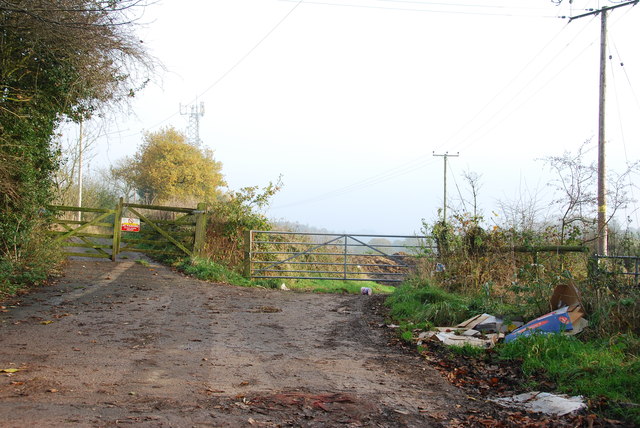
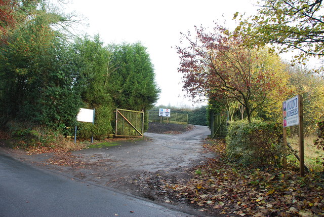
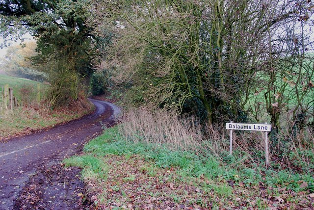
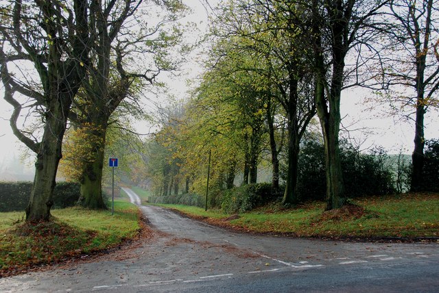
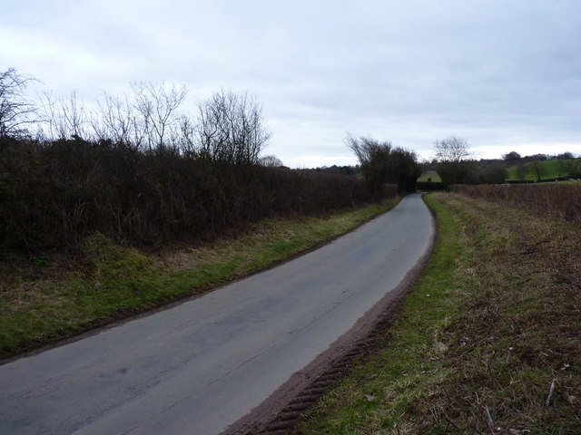
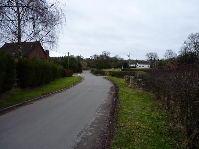
Spot Acre Spinney is a charming woodland located in Staffordshire, England. Covering an approximate area of one acre, this woodland is nestled in a rural setting, offering a serene and peaceful retreat for nature enthusiasts.
The Spinney, often referred to as a wood or forest, boasts a diverse array of trees and vegetation, contributing to its rich biodiversity. Visitors can expect to encounter a mixture of deciduous and evergreen trees, including oak, beech, birch, and ash. These trees create a dense canopy, providing shade and shelter for various wildlife species.
The woodland floor is carpeted with a lush layer of moss, ferns, and wildflowers, creating a vibrant and picturesque landscape. It is not uncommon to spot bluebells, primroses, and wood anemones during the spring months, adding bursts of color to the forest floor.
Spot Acre Spinney is a popular spot for birdwatchers, as it is home to a variety of avian species. Visitors may catch a glimpse of woodpeckers, tawny owls, and warblers among the treetops. The woodland is also a haven for small mammals like squirrels, hedgehogs, and voles.
The Spinney is a haven for nature lovers seeking tranquility and a chance to connect with the natural world. With its well-maintained footpaths, visitors can enjoy leisurely walks or engage in activities such as photography, nature study, or simply relaxing amidst the peaceful surroundings.
Managed by a local conservation group, Spot Acre Spinney is a valuable natural resource that is cherished and protected by the community. Its beauty and diversity make it a beloved destination for locals and visitors alike, offering an escape from the hustle and bustle of everyday life.
If you have any feedback on the listing, please let us know in the comments section below.
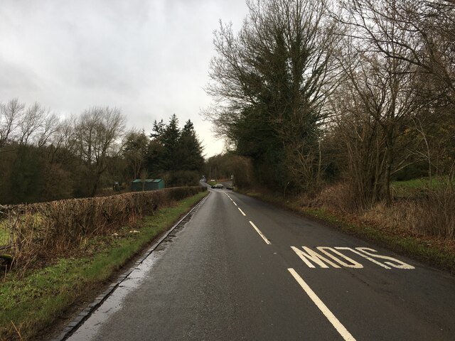
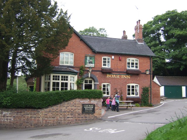
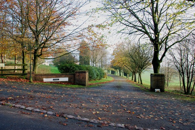
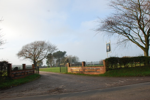
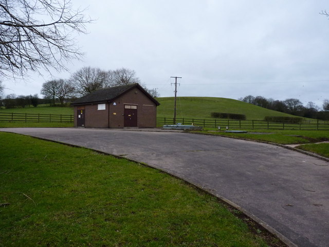
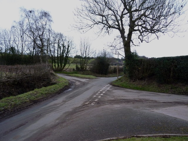
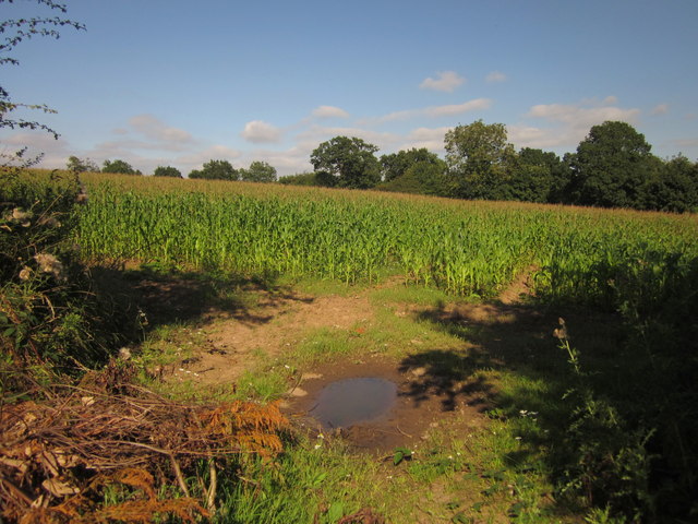
Spot Acre Spinney Images
Images are sourced within 2km of 52.930895/-2.0859901 or Grid Reference SJ9437. Thanks to Geograph Open Source API. All images are credited.


Spot Acre Spinney is located at Grid Ref: SJ9437 (Lat: 52.930895, Lng: -2.0859901)
Administrative County: Staffordshire
District: Stafford
Police Authority: Staffordshire
What 3 Words
///trickster.tugging.dude. Near Stone, Staffordshire
Nearby Locations
Related Wikis

Fulford, Staffordshire
Fulford is a village and civil parish about 5 miles (8 km) north east of Stone, in the Stafford district, in the county of Staffordshire, England. The...

Stone Rural
Stone Rural is a civil parish in the Stafford district, in the county of Staffordshire, England. The parish includes the settlements of Aston-By-Stone...
Moddershall
Moddershall is a small village in the borough of Stafford in the county of Staffordshire, England, part of the civil parish of Stone Rural and ecclesiastical...

Meir K.A. F.C.
Meir King's Arms Football Club was an association football club based in Stoke-on-Trent, England, established in 1972. Originally formed as the Sunday...
Meir Heath Cricket Club
Meir Heath Cricket Club is a cricket club and ground in Meir Heath, Staffordshire. The first recorded match on the ground was in 1991, when Staffordshire...

Hilderstone
Hilderstone is a village and a civil parish in the English county of Staffordshire. == Location == The village is 8.6 miles (13.8 km) north of the town...

Barlaston and Rough Close Common
Barlaston and Rough Close Common is a local nature reserve, an area of heathland in Staffordshire, England, near Barlaston and about 3 miles (4.8 km) north...

Meir Heath
Meir Heath is a village just to the south of Stoke-on-Trent, Staffordshire situated on a hilltop between Meir and Rough Close, 2+1⁄2 miles from Barlaston...
Nearby Amenities
Located within 500m of 52.930895,-2.0859901Have you been to Spot Acre Spinney?
Leave your review of Spot Acre Spinney below (or comments, questions and feedback).